- Share via
In the minds of many Californians, El Niño has long loomed as a rainmaker of epic proportions.
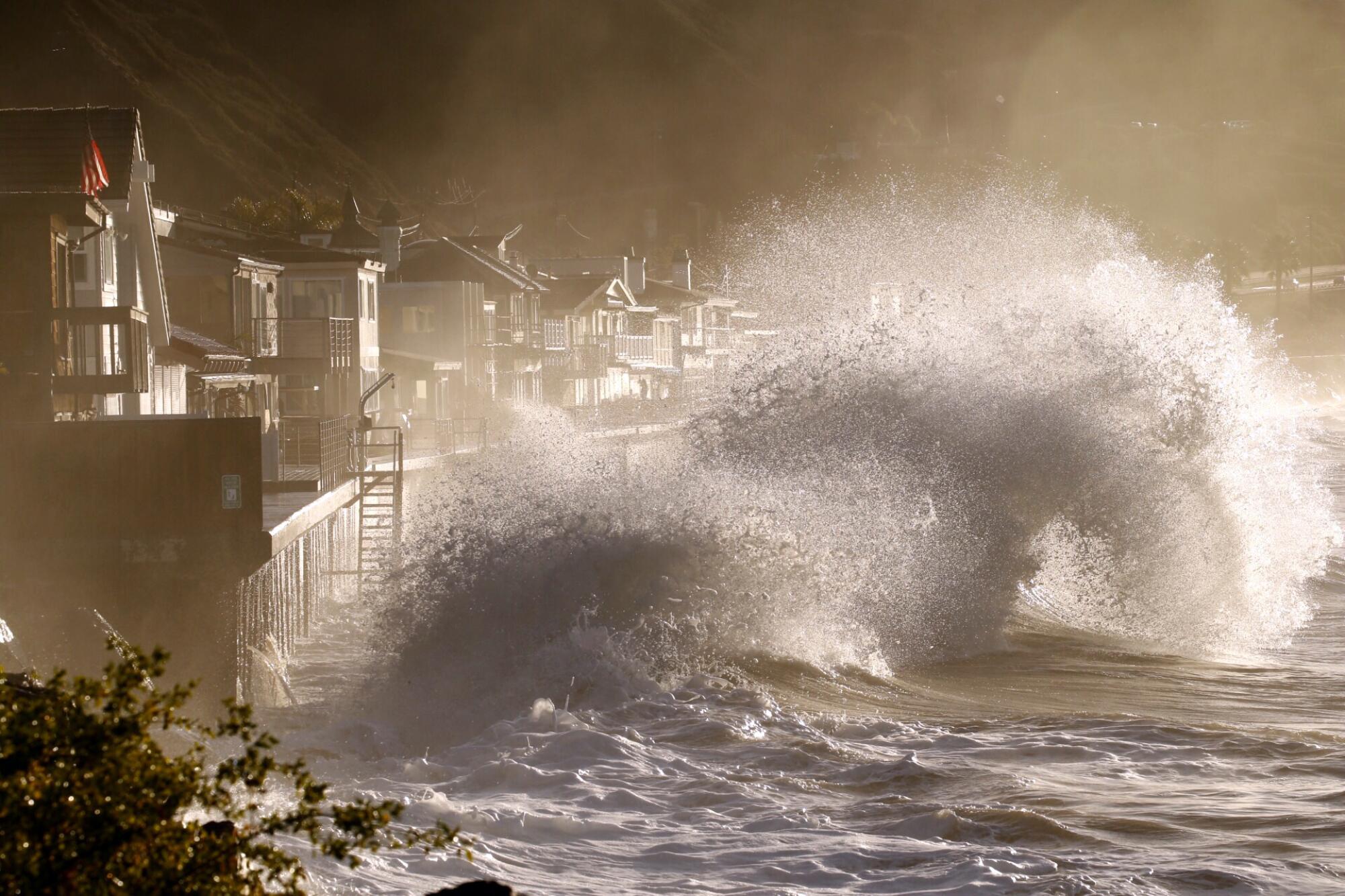
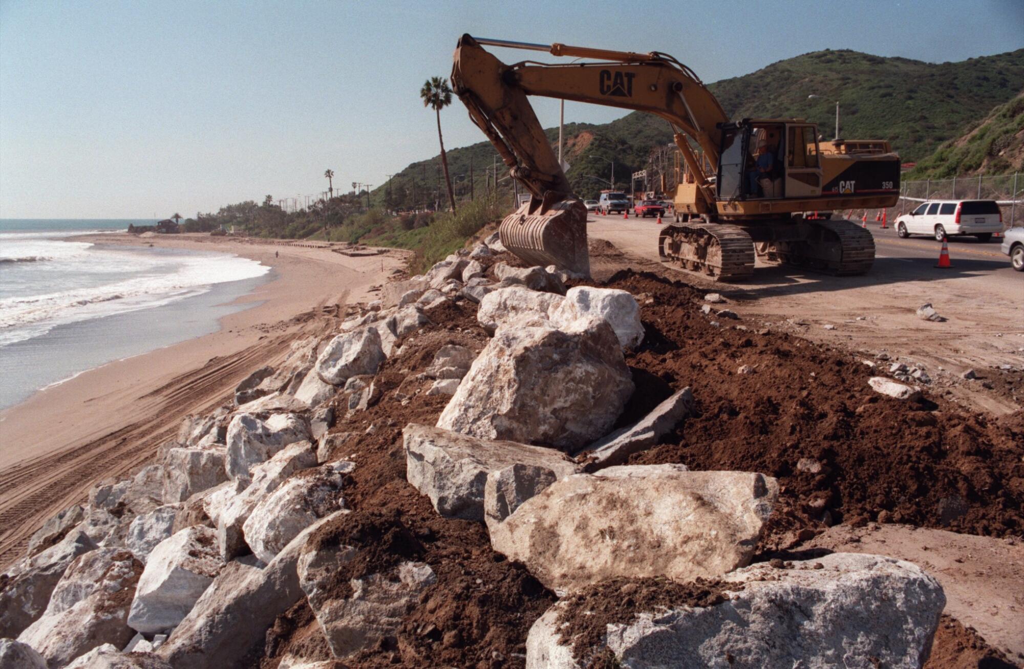
In 1982-83, the Pacific climate pattern caused storms that pounded the state’s shoreline, damaging 1,000 homes between Santa Barbara and the Mexican border and washing the tip of the Santa Monica Pier out to sea.
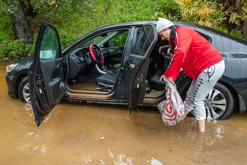
When it appeared again in 1997-98, El Niño unleashed massive flooding across the West Coast, contributing to at least 17 deaths and billions of dollars in damage.
Aggressive and impactful reporting on climate change, the environment, health and science.
But forecasts have so far proved less accurate in the 21st century. Although experts warned that El Niño would once again deliver a deluge to Southern California in 2015-16, it turned out to be something of a dud, bringing even less precipitation to the region than a non-El Niño year.
Similarly, this past winter proved to be one of the state’s wettest ever, even though California was mired in a rare three consecutive years of La Niña, El Niño’s typically dry counterpart.
That’s led some to question whether the once-fearsome “Little Boy” is still an accurate harbinger of conditions in the Golden State. On Thursday, the National Oceanic and Atmospheric Administration released its latest El Niño advisory, which states there is a 54% chance of a “historically strong” El Niño through January.
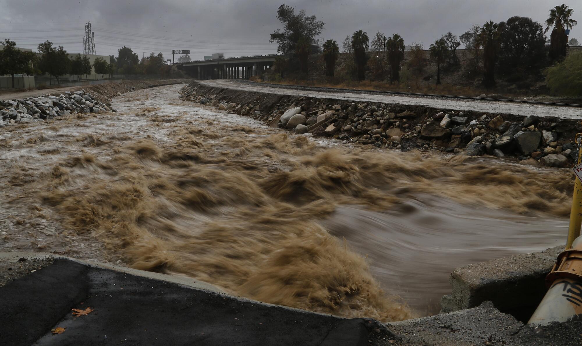
So far, however, California’s wet season has gotten off to a notably dry start, with less than 2.7 inches of precipitation statewide between Oct. 1 and Dec. 14 — about 46% of the historical average.
“When you hear El Niño, you visualize floods and mudslides almost immediately because everybody remembers ‘97-98,” said Bill Patzert, a retired climatologist with NASA’s Jet Propulsion Laboratory in La Cañada Flintridge. “But the normal pattern has never been guaranteed.”
In fact, there have been only about half a dozen El Niño events since researchers began tracking the phenomenon in earnest in the 1950s, Patzert said, which means there isn’t much real-world data to work off of.
But he and other experts said El Niño is still one of the best gauges in the forecasting toolbox, even if it doesn’t always hit the mark.
“El Niño and La Niña are one of many things in the Earth system that can affect whether California sees wet or dry winters,” said Daniel Swain, a climate scientist with UCLA. “And critically, it is one of the only things that we can actually predict in advance. So it remains today the single most important predictor of California winter precipitation ... even though it doesn’t tell us everything we need to know to make a slam-dunk prediction.”
While El Niño tends to move on a seasonal timescale, there are other patterns, such as the Madden-Julian Oscillation, that move at sub-seasonal scales and can also sway conditions. The oscillation is an eastward-moving disturbance of rain, wind and pressure that often manifests as anomalous rainfall. It was partly responsible for the unexpectedly wet conditions earlier this year.
Swain said it’s one of many such variables that can counteract El Niño’s effects, including some that aren’t even named or represented by seasonal predictive models.
“All of those things matter, but the problem is, three months in advance, four months in advance, even two months in advance, we can’t predict them. But we can usually do that with El Niño and La Niña, so that’s why we keep sticking with it,” Swain said.
“If it’s the only thing that gives us any predictability, I don’t think we should be ignoring it,” he added.
The first winter outlook from the National Oceanic and Atmospheric Administration predicts that a strong El Niño will remain in place through at least the spring, bringing warm, wet conditions to California and large swaths of the U.S.
Indeed, while the winter of 2022-23 was anomalously wet, the two La Niña winters before it were among the state’s driest on record — as Southern Californians have come to expect from La Niña patterns. That 2-out-of-3 success rate is a good reflection of the odds, said Shang-Ping Xie, a professor of climate science at Scripps Institution of Oceanography at UC San Diego.
“We don’t have accurate predictions — we will never have accurate predictions — because the system is chaotic,” he said. But long-term trends do show that El Niño increases the probability of a wet winter on the West Coast, and California in particular.
Xie said the current El Niño probably won’t be as strong as those of 1982-83 and 1997-98, but that its reach extends from the international date line to the coast of South America, which could portend effects across several regions, including much of North America.
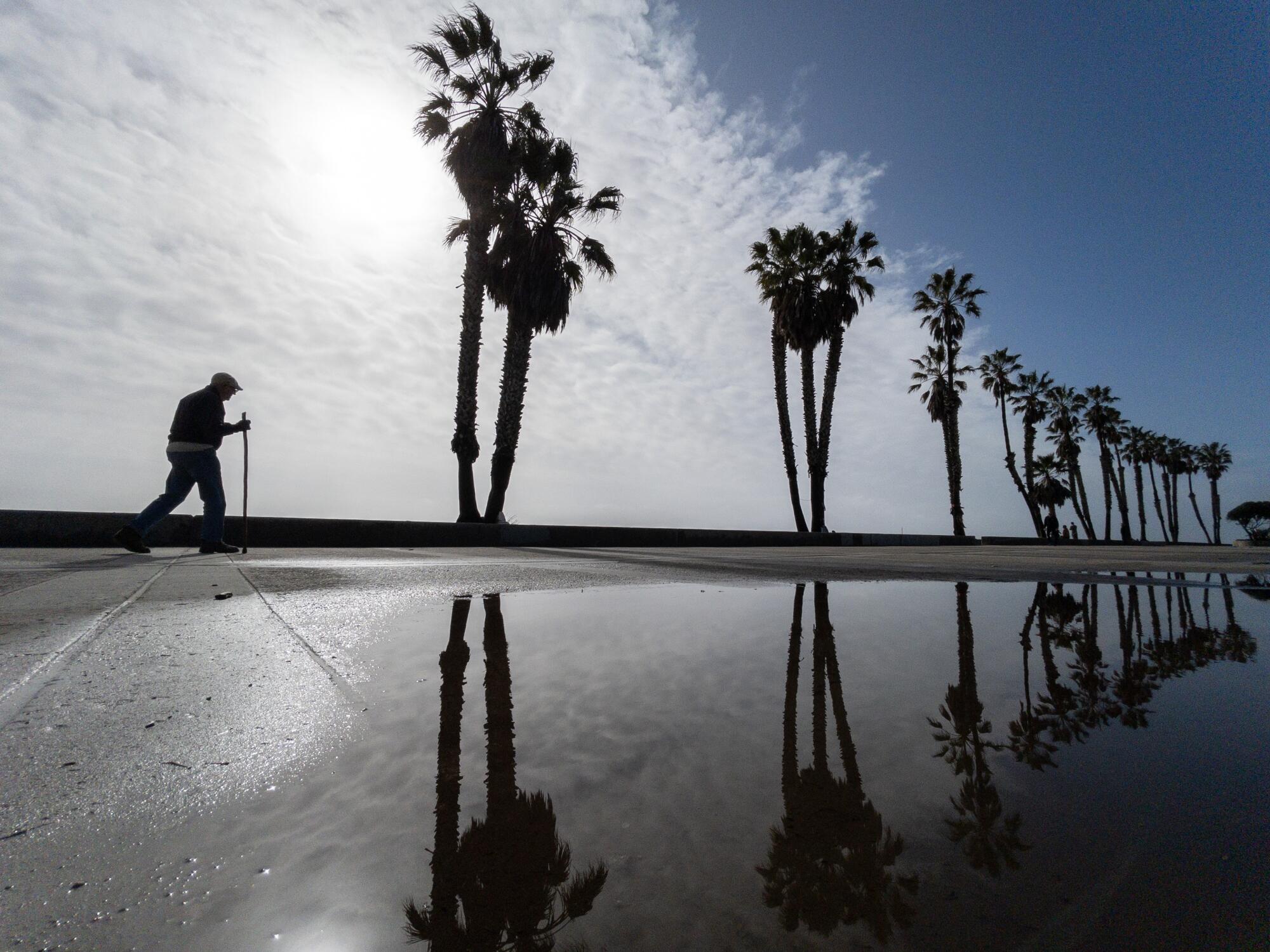
The latest seasonal outlook from NOAA calls for wetter-than-usual conditions in California through February, along with increased odds of rainfall across the southeastern United States. What’s more, forecasts show that a strong storm pattern may be heading for California around the last week of December.
Warmer-than-normal conditions are also expected across the West Coast and most of the northern half of the U.S through February. In fact, while El Niño may not always translate into a wet winter for Southern California, globally, it is already helping to make 2023 the planet’s hottest year on record, along with climate change.
“Realistically, science is about prediction, but science is also about the limits on the predictions,” Xie said.
He noted that some researchers are investigating whether climate change is affecting El Niño’s traditional habits. The pattern forms in the eastern equatorial Pacific Ocean, which has not experienced the same degree of warming as nearly every other ocean on Earth in recent decades, he said. The reasons for that are not yet clear, nor its potential effects.
“That is a hot topic,” he said.
But there is also a possibility that climate change could lead to stronger El Niño and La Niña modulations, Xie said — making the strongest El Niño events even stronger, and extreme rainfalls more extreme.
For decades, El Niño seemed synonymous with wet winters for Southern California, while La Niña was a heralder of drought. But the would-be model didn’t hold up this winter.
Patzert said if climate change has had any impacts on El Niño, they’ve been subtle.
“El Niño is a large disturbance in the Force. The important question about El Niño is not whether it will have a big impact, but rather when, where and who gets walloped,” he said.
Few people know the pain of an overhyped El Niño more than Patzert, whose prediction for a soaking, “too big to fail” system in California in 2015-16 failed to materialize.
Patzert said he wasn’t totally wrong. That year’s El Niño did bring major rains, but they hit parts of northern Mexico and the Gulf Coast as opposed to Southern California.
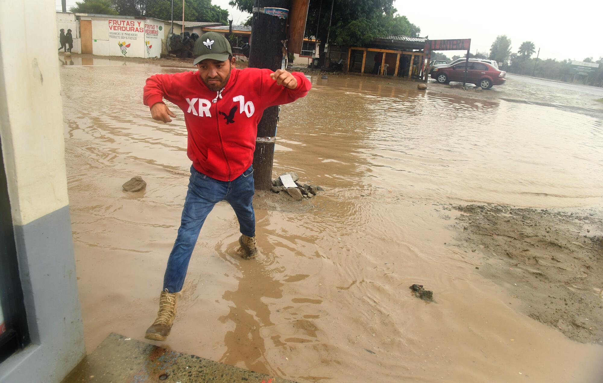
“El Niño definitely delivered,” he said. “It happened. It just happened to the south and to the east.”
In addition to its location, the strength of any given El Niño also plays a critical role in its effects, as weak El Niños and La Niñas don’t tend to exert a meaningful influence on California’s conditions. The current system is considered strong and may get stronger before returning to neutral conditions between April and June, according to NOAA.
Though the start of the wet season has been relatively dry in California, Swain, of UCLA, referred to the current El Niño as a “predictive success” since a strong system did manifest as forecast. Odds are now growing for potentially wet and active conditions to arrive in the state before the end of the year, he said.
But like the others, Swain underscored that El Niño has never been a guarantee when it comes to California.
“El Niño is never going to be a slam dunk,” he said. “It’s always going to be a tilt in the odds.”
Toward a more sustainable California
Get Boiling Point, our newsletter exploring climate change, energy and the environment, and become part of the conversation — and the solution.
You may occasionally receive promotional content from the Los Angeles Times.


