‘Dry’ California got big rains. Was it really an epic weather forecasting fail?
- Share via
For decades, two climate patterns in the Pacific Ocean have loomed large in predicting weather in California and other parts of the globe. El Niño — a warming of sea-surface temperatures in the tropical Pacific — seemed synonymous with wet winters for Southern California, while La Niña was a heralder of drought.
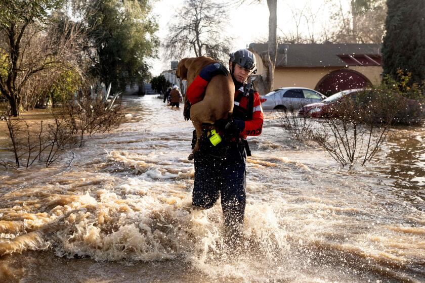
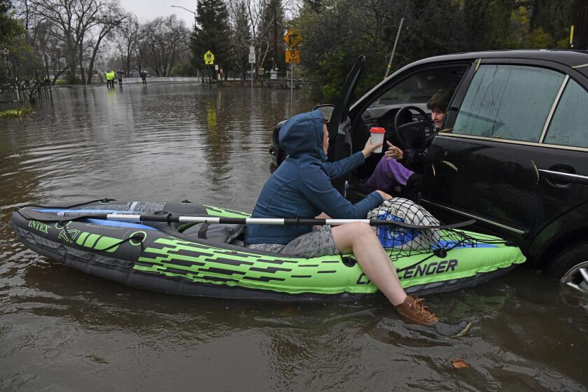
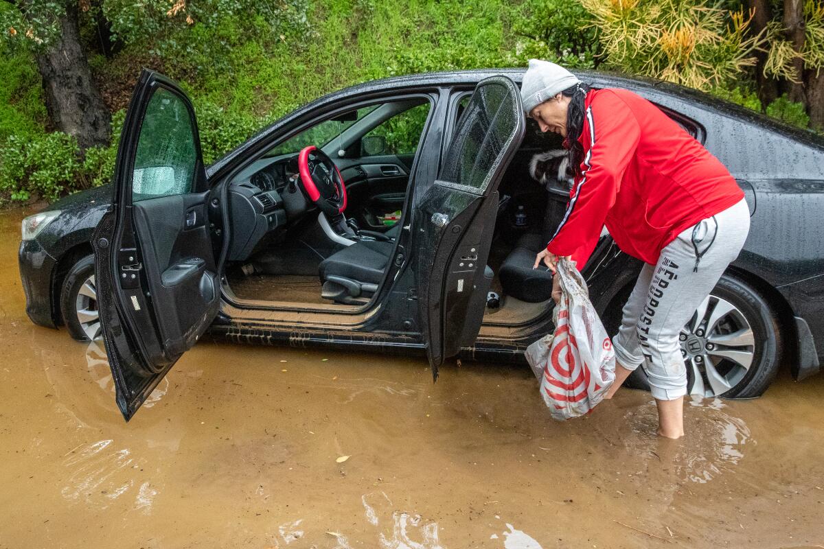
But the would-be model didn’t hold up this winter. Despite La Niña’s presence, a robust series of 10 storms brought impressive precipitation across California, spurring floods and landslides, increasing reservoir levels and dumping eye-popping snowfall in the mountains.
The Sierra Nevada has a snowpack of 240% of average for the date, and 126% of where it should be by the start of April. San Francisco was drenched with more than 18 inches of rain since Christmas, posting its wettest 22-day period since 1862. Downtown Los Angeles has logged more than 13 inches of rain since October — more than 90% of its annual average of 14.25 inches.
Though winter isn’t over, and a renewed dry spell can’t be ruled out, the significant storms have defied expectations of a dry winter.
Experts say California’s recent series of storms was no more severe than what the state has experienced in the last century.
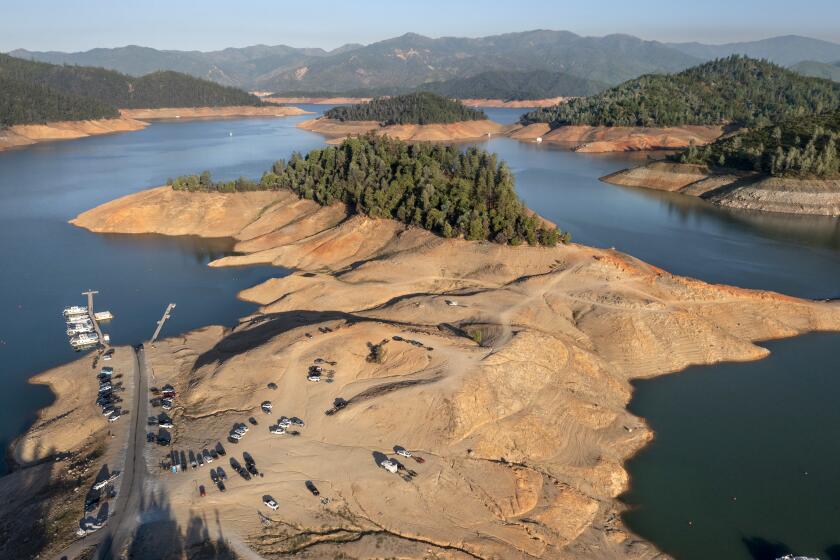
The forecast in October by the Climate Prediction Center, a division of the National Weather Service, indicated the odds were stacked against the Golden State: a rare third year of La Niña was expected. And California had already recorded its three driest years in the historical record.
The center’s seasonal forecast for December, January and February said there were equal chances of a dry or wet season in Northern California. But for Southern California, the agency reported there was a 33% to 50% chance of below-normal precipitation.
Taking the midpoint of that forecast — say, 40% — that meant there was a 35% probability of near-normal precipitation and a 25% chance of above-normal precipitation, said David DeWitt, director of the Climate Prediction Center.
“These probabilities are going to be relatively modest ... because that is the state of the science,” DeWitt said.
Those subtleties, however, tend to get less attention. Easier to understand was the bottom line, as a center’s statement noted: “The greatest chances for drier-than-average conditions are forecast in portions of California,” as well as other southern parts of the nation.
Typically, La Niña produces dry winters in Southern California. And that pattern fit the previous two years.
But this winter, it changed. Since the start of December, downtown L.A. has received more than 11 inches of rain — more than double the average 4.91 inches for that time, and also above the entire December-January-February average of 9.41 inches.
Still, this shift is not an anomaly. In fact, La Niña was present during a spectacularly wet season: the winter of 2016–17.
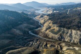
Storms were so intense across California that they ended a punishing drought that ran from 2012 to 2017. By the end of the 2016–17 water year, downtown L.A. got 134% of its average rainfall; San Jose suffered surprise flooding that inundated hundreds of homes; and a retaining wall threatened to collapse at California’s second-largest reservoir, triggering an order to evacuate more than 100,000 people downstream of filled-to-the-brim Lake Oroville.
That season was so memorable that the northern Sierra Nevada — crucial to the state’s water supply — recorded its wettest precipitation in the historical record. Skiers were coasting down mountain slopes in late June.
Deep splotches of dark red and purple signifying the worst levels of drought have been erased from California’s map, thanks to a series of powerful storms.
One meteorologist who has warned against putting too many eggs in the La Niña basket is Jan Null, a former lead forecaster for the National Weather Service. In late 2020, as La Niña was developing, he tweeted of the phenomenon: “What does it mean for California and U.S. rainfall? Almost anything!”
Four months ago, he again tweeted: “Does La Niña automatically mean another dry winter for California? Not necessarily.”
Null, an adjunct professor at San Jose State’s Department of Meteorology and Climate Sciences, has put together data comparing La Niña and El Niño years and what they’ve meant — or not — for California’s precipitation.
If you look at all the La Niña events over roughly the last 75 years, Southern California does tend to get below-average rainfall, while for Northern California, it’s more a roll of the dice. For instance, during La Niña seasons since the 1950s, coastal Southern California got just 80% of its average annual rainfall, while the San Francisco Bay Area got 93%, according to Null’s website.
On the flip side, during all El Niños since the 1950s, coastal Southern California got 126% of its average precipitation, while the Bay Area got 109%, Null calculated.
But there are also plenty of memorable exceptions in which wet years coincided with La Niña events. One such was in the winter of 2010–11, which brought 142% of downtown L.A.’s average annual rainfall. A particularly powerful storm just before Christmas caused flash flooding and debris flows, bringing $36 million in damage to Orange County, including $12 million to Laguna Beach.
“The bottom line is that if you count every El Niño as wet and every La Niña as dry, sooner or later you’re gonna get embarrassed.”
— Bill Patzert, retired climatologist
A big reason why El Niño and La Niña are so fixed in the minds of many Californians as the crystal ball of winter weather is how the science developed in the 1980s and ’90s after particularly punishing winter storms in 1982–83.
There was no way to predict El Niño back then. Scientists “really didn’t even understand at that time that it was even occurring,” DeWitt said, but it later was associated with significant mayhem worldwide. In California, the 1982–83 season brought the second-wettest annual precipitation to the northern Sierra and, according to data Null has compiled, $2.3 billion in damage in today’s dollars, one of the costliest flood seasons in the state in the past half-century.
In early 1983, El Niño was so powerful that storms decimated piers along the California coast. A middle section of the landmark Seal Beach Pier collapsed, and the tip of Santa Monica’s historic pier washed into the sea. One storm at the end of January damaged 1,000 homes between Santa Barbara and the Mexican border as heavy surf was worsened by unusually high tides that pounded oceanfront neighborhoods.
It was that jolt that pushed scientists to figure out ways to predict the next El Niño. The failure to forecast the 1982–83 event led to the development of a range of tools that successfully predicted another El Niño in 1997–98, which came in at record strength.
There was “massive flooding over the West Coast, especially California. And it was well predicted,” DeWitt said. The damage in California was severe — with at least 17 deaths — and brought Los Angeles its wettest February on record.
“And then the next year, 1998–99, was a strong La Niña, and you saw exactly the opposite ... these very dry conditions,” DeWitt said.
“And that imprinted on a lot of people — including the scientific community — a couple of messages: one, that that was what you were always going to see with El Niño and La Niña, especially significant-strength ones; and that basically, this was a solved problem.
“And not one of those was ever true,” DeWitt added.
He remembers his predecessor at the Climate Prediction Center testifying to Congress about the upcoming 1997–98 El Niño and its predicted effects, a forecast that ended up being on the money. “And it created this confidence that you could always rely on just knowing ... the El Niño/La Niña phase, and that would be able to give you a very accurate prediction for precipitation, especially for California. And that is just not scientifically true.”
In other words, the weather effects from El Niño and La Niña usually happen — until they don’t, and sometimes in a spectacularly disappointing way.
So when a third supersized El Niño event emerged in 2015, there was hope it would raise the prospect of big, drought-quenching storms for California. Instead, downtown L.A. got less than 50% of its average rainfall; San Francisco broke even, with its average annual tally; and the northern Sierra got only 9% above its average yearly precipitation.
California ‘storm train’ may rival notorious El Niño winter of 1997–98
“The bottom line is that if you count every El Niño as wet and every La Niña as dry, sooner or later you’re gonna get embarrassed,” said retired climatologist Bill Patzert.
Patzert developed a reputation of being “as right as rain” on El Niño- and La Niña-influenced weather patterns, but he was among those who bet on a wet winter in California in 2015–16. He notes, however, that Texas was hit hard by floods that spring, and southern Texas does tend to get above-average precipitation during an El Niño event.
In the weather game, El Niño and La Niña are still the superstars, kind of like Stephen Curry of the Golden State Warriors, Null said.
“But you still have nights that Klay Thompson or Draymond Green take over,” Null added. In other words, it’s possible for other factors to minimize the impacts of a normal El Niño or La Niña.
In fact, recent correlations between El Niño and La Niña and precipitation in California “hasn’t really proven out as well,” said Marty Ralph, director of the Center for Western Weather and Water Extremes at the Scripps Institution of Oceanography at UC San Diego.
The correlation is imperfect, which could mean “there’s some processes that are interrupting and interfering with that correlation,” Ralph said.
So while La Niña and El Niño do factor into Southern California weather, another phenomenon known as the Madden-Julian Oscillation can affect whether storms hit. And instead of being forecast months in advance, they can be predicted only weeks ahead of time.
The Madden-Julian Oscillation — or MJO — is separate from La Niña and El Niño. It starts as a massive expanse of extra large precipitation, often in the form of tropical thunderstorms, that tend to move from the Indian Ocean eastward into the Pacific Ocean, Ralph said. That can release an enormous amount of latent heat into the atmosphere, and through that action, it can influence storm tracks and whether they hit California.
But even the MJO correlation isn’t perfect. Ralph remembers that over a four-year period, there were two years where the MJO was correlated with atmospheric rivers reaching California. The other two years, the relationship didn’t appear.
About 95% of the water that flowed into the Sacramento-San Joaquin River Delta in the first two weeks of January ended up in the Pacific Ocean. Here’s why.
Ralph assumed there must be something interfering with the correlation when the pattern didn’t work. “And lo and behold, about three, four years later, there was a paper — a brilliant study — that found in the stratosphere, there’s something called the quasi-biennial oscillation,” which can disrupt the connection between the MJO and weather on the West Coast.
“The bottom line is: there’s a lot more to learn about what’s controlling the precipitation anomalies for the season, for the wet seasons on the West Coast,” Ralph said.
As for the rest of the winter, California is in a dry spell for the next couple of weeks. But DeWitt is looking closely at the MJO for clues as to what February will bring, as that answer will prove important to California’s water supply. Already, some specific phases of the observed MJO have been tied to the series of atmospheric river-fueled storms that recently struck California.
And now, conditions suggest the start of a new MJO. If it stays in its first few phases then dies, that would bode poorly for more rain for California. But if it continues, the state could face similar heavy-rain conditions, around the middle or third week of February, DeWitt said.
“It doesn’t mean we’re going to have as intense atmospheric rivers, or that we’re going to have this same level of very high rates of precipitation [as we did recently], but it would have an enhanced probability of precipitation over California,” DeWitt said.
More to Read
Sign up for Essential California
The most important California stories and recommendations in your inbox every morning.
You may occasionally receive promotional content from the Los Angeles Times.
