California’s snowpack is among the deepest ever. Now get ready for the perilous ‘big melt’
- Share via
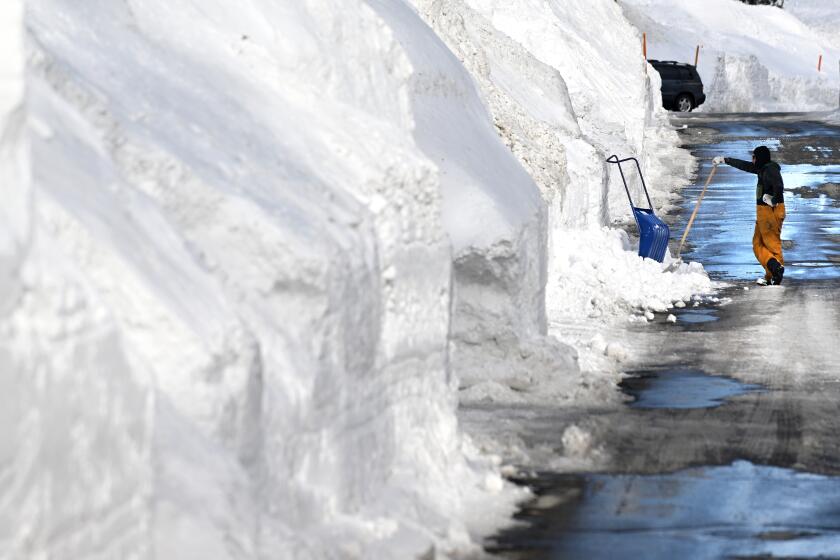
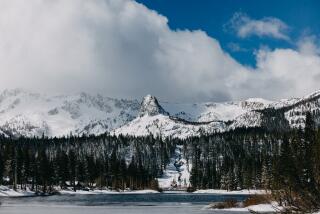
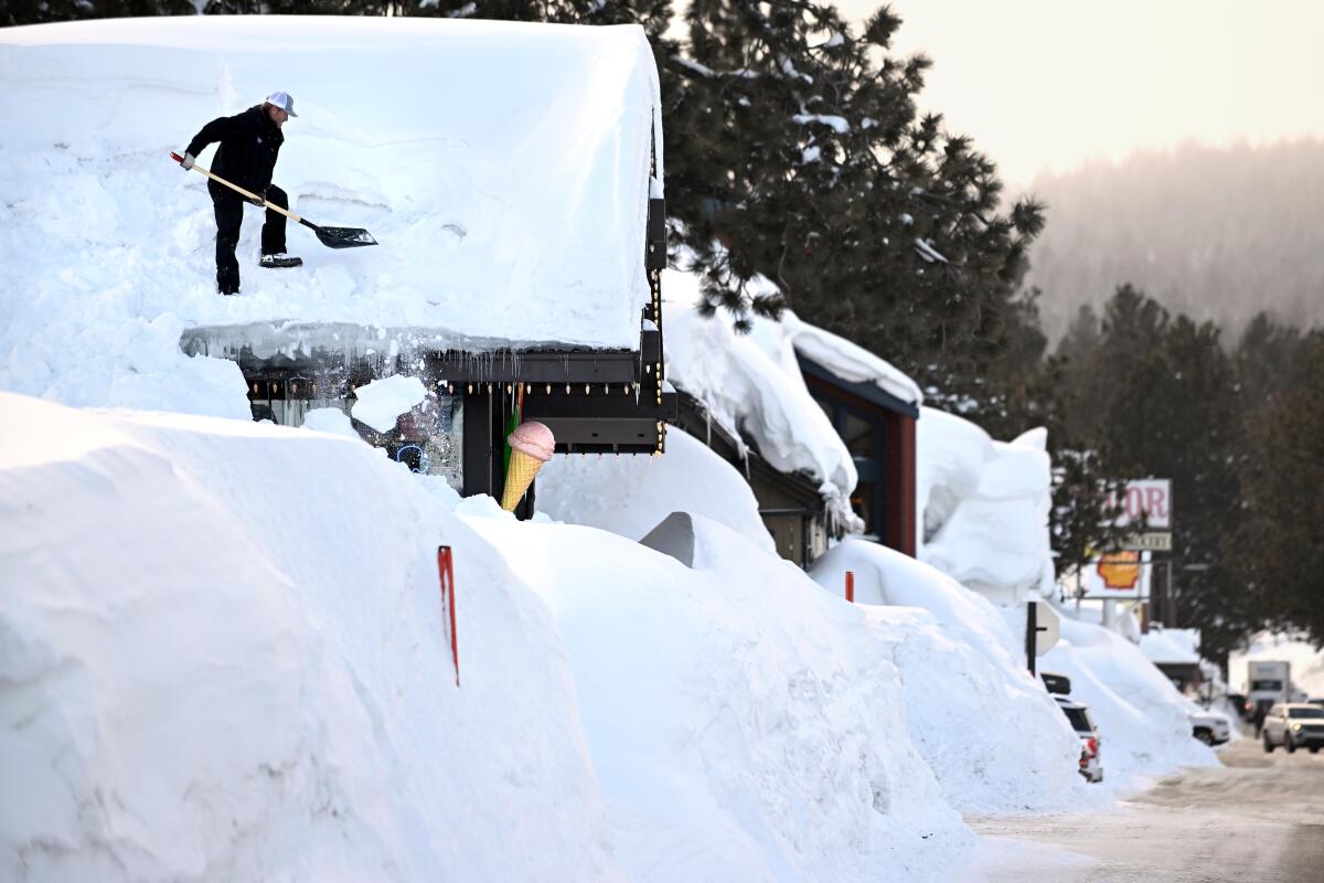
California’s wet and wintry start to the year has resulted in perhaps the deepest snowpack recorded in more than 70 years, officials said Monday.
The snowpack is so deep that it currently contains roughly 30 million acre-feet of water — or more water than Lake Mead, the nation’s largest reservoir, according to a Times analysis of snow sensor data.
But though the bounty has eased drought conditions, experts warn that the dense Sierra Nevada snowpack will soon melt, potentially unleashing torrents of water and creating considerable concern about spring flooding in valleys, foothills and communities below.
“All of that water is going to have to come downhill sooner rather than later,” said Daniel Swain, a climate scientist at UCLA. Incoming warmer weather is “good news for a lot of folks who need it, but it does mean that the ‘big melt’ is on the way.”
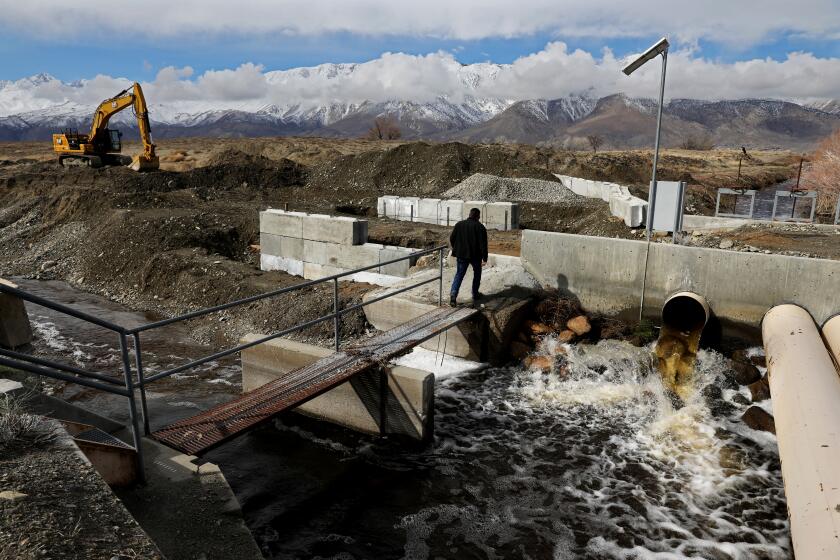
As record snows saddle the eastern Sierra Nevada, snowmelt threatens to inundate Los Angeles Department of Water and Power infrastructure.
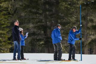
State officials announced the record snowpack Monday at their fourth snow survey of the season at Phillips Station near South Lake Tahoe. The surveys are conducted monthly, with April 1 serving as the benchmark date when the snowpack is typically deepest.
The statewide snowpack on Monday was 237% of normal for the date — the deepest on record since the state’s network of snow sensors was established in the mid-1980s. The snow water equivalent — or the amount of water contained in the snow — was 61.1 inches.
It is also deeper than previous records of 227% set in 1983 and 224% set in 1969, and tied with the record of 237% set in 1952, measured using earlier tools and baselines. Those were the only other years with April snowpack above 200%, said Sean de Guzman, manager of snow surveys for the Department of Water Resources.
With some snow sensors yet to report, “it’s looking like this year’s statewide snowpack will probably most likely be either the first- or second- biggest snowpack on record dating back to 1950,” De Guzman said.
Snowpack in the southern Sierra was even deeper, measuring a record 306% of normal for the date.
The Times’ analysis is based on calculations by hydroclimatologist Michael Dettinger of UC San Diego’s Scripps Institution of Oceanography and the Desert Research Institute in Nevada.
The extraordinary snowpack was the direct result of a succession of historic blizzards and more than a dozen atmospheric river storms that began pummeling the state at the start of the year. The storms replenished rivers and reservoirs and dropped piles of snow across the state, but they also caused widespread flooding, levee breaches and nearly three dozen deaths.
The abundance of water allowed state and federal agencies to drastically increase allocations for water providers across the state and also prompted Gov. Gavin Newsom to roll back some of his drought emergency restrictions, which were issued in 2021 amid the state’s driest three years on record.
But though the U.S. Drought Monitor and other indicators of dryness are significantly improved, it is possible to have too much of a good thing, experts said.
With only a few more days of chilly weather on the horizon, conditions are expected to be warm and dry across much of the state in the coming weeks. That includes the San Joaquin Valley, the Owens Valley and slopes of the southern Sierra.
“As that record southern Sierra snowpack melts in the days and weeks to come — and it is going to do that between now and June — most of it is going to melt and flow downhill,” Swain said.
The rushing water could fill some of the region’s smaller reservoirs “multiple times over, which means that essentially, those reservoir operators are going to have to release water continuously, [with] potentially high flows, to maintain safety margins in these reservoirs and these dams,” he said.
How high those flows will get, and what their ultimate effects are, will largely depend on how quickly temperatures rise.
In “normal” years, snowpack melts gradually through the spring, feeding rivers, nourishing plants and refilling reservoirs that are designed to store water through the dry months of summer.
But rapid melting brought on by an early-season heat wave — or even just a warm, humid air mass — could swamp areas already coping with flooding.
The ‘phantom’ Tulare Lake returns
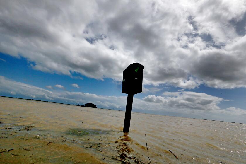
Portions of the San Joaquin Valley were inundated with so much floodwater during the recent storms that the once-dry Tulare Lake has begun to reemerge.
Similar flooding occurred in the San Joaquin Valley and Tulare Lake Basin after the winters of 1969 and 1983, Swain said.
Five of the largest reservoirs in the Tulare Basin are at an average of 67% capacity, according to state data. And unlike the Sacramento and San Joaquin River basins, the Tulare Basin does not flow into the ocean.
Although some of the melting snow will seep into the ground or be lost to evaporation, it will still contribute to a sudden surge in rivers.
“The real challenge as we move into spring and summer is flooding — significant flooding — particularly in the Tulare Lake Basin,” said DWR director Karla Nemeth. She added that officials will be transitioning from snow measurements to runoff measurements in the weeks ahead to help water and flood managers prepare.
“There is variability — it does depend how quickly California warms up as to how quickly we will experience the snowmelt,” she said, “but we are into those longer daylight hours, which can trigger snowmelt at a much more rapid pace.”
Newsom on Friday issued an executive order to help prepare the Tulare Basin for potential flooding, including efforts geared toward response and recovery.
State officials and experts have attributed the record winter precipitation to “climate whiplash” — the abrupt change from periods of prolonged drought to shorter periods of heavy precipitation due in part to climate change. Dry conditions will return again, they said.
“Even though we have this extraordinary snowpack, we know that the droughts are getting deeper and more frequent and that means we have to use water efficiently no matter what our hydrologic conditions,”Nemeth said.
She added that despite a surface water surplus, groundwater supplies remain depleted, particularly in the Central Valley. It is possible that residents there could experience simultaneous drought and flood conditions, she said.
John Abatzoglou, a climatologist at UC Merced, said “it’s the California story.”
“We see that throughout the tree ring record. That sort of tempo has always been there,” Abatzoglou said. “There’s no bet that we’ll continue to see wet years after this, and odds are the next drought is around the corner.”
California has approved a plan to use more than 600,000 acre-feet of floodwaters to replenish groundwater and supply wildlife refuges in the Central Valley.
But state water managers have also been criticized for their handling of the year’s abundant water, and they’ve acknowledged they must do more to capture supplies as the snow melts.
Jeanine Jones, the Department of Water Resources’ interstate resource manager, pointed to recent executive orders facilitating groundwater recharge, including diverting more than 600,000 acre-feet from the swollen San Joaquin River to areas where it could spread and percolate into the aquifer beneath the valley.
There is a “big effort to try to get as much of that floodwater as possible someplace underground, particularly knowing that we have a few months, probably, in the runoff season to do that,” she said.
The potential for spring flooding extends beyond the Central Valley, with officials in Southern California also concerned about the melt. Though areas like Los Angeles will probably be spared because of a lack of nearby snowpack, its water infrastructure could be at risk.
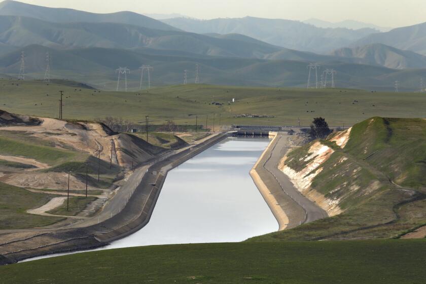
The Los Angeles Aqueduct — which draws water from the Owens Valley and delivers it to millions of people in L.A. — was already undermined this spring when floodwaters caused a 120-foot section of the structure to crumble. It was the first time the aqueduct has ever been breached by extreme weather.
Officials from the Los Angeles Department of Water and Power said during a board meeting last week that crews were working hard to repair the aqueduct but must also brace for the incoming runoff.
“I’m concerned about what we’ll see the next few weeks and months as snow begins to melt, and want to make sure that we are as proactive as we can be — not just in terms of the work that we’re doing, but also in terms of preparing the public,” said Cynthia McClain-Hill, president of the DWP board.
The Los Angeles Department of Water and Power is struggling to maintain the city’s Eastern Sierra aqueduct amid continued flooding from snowmelt.
McClain-Hill said the region’s previously strained water systems “dodged a bullet” thanks to the recent precipitation, which allowed state and local officials to replenish drained reservoirs and boost supplies.
But sometimes, she said, “we can’t stop the water — and the potential for damage, or flooding, or other eventualities that could be problematic.”
Benjamin Hatchett, an assistant research professor at the Desert Research Institute who recently published a study on California’s declining snowpack, said it’s in everyone’s best interest if it melts slowly and fills up reservoirs as the water is used for irrigation.
“Now we wait patiently to see how quickly or not quickly it comes out of the mountains,” Hatchett said. “It’s like a rock on the edge of a cliff, and one gust of wind is all it takes to knock it down.”
More to Read
About this story
