Massive El Niño is now ‘too big to fail,’ scientist says
- Share via
An El Niño that is among the strongest on record is gaining strength in the Pacific Ocean, and climate scientists say California is likely to face a wet winter.
“There’s no longer a possibility that El Niño wimps out at this point. It’s too big to fail,” said Bill Patzert, climatologist for NASA’s Jet Propulsion Laboratory in La Cañada Flintridge.
“And the winter over North America is definitely not going to be normal,” he said.
Water and Power is The Times’ guide to the drought. Sign up to get the free newsletter >>
Just three weeks ago, the National Weather Service’s Climate Prediction Center raised the odds of California getting doused with a wetter-than-average winter. Southern California now has more than a 60% chance of a wet winter, a 33% chance of a normal winter and less than a 7% chance of a dry winter.
The odds of a wet winter farther north are increasing too. San Francisco has more than a 40% chance of a wet winter, 33% chance of a normal winter and less than a 27% chance of a dry winter.
Scientists know that El Niño is getting stronger because of rising sea-level ocean temperatures in the Pacific west of Peru, and a change in directions of the wind along the equator that allow warm waters to surge toward the Americas.
“The trade winds are weakening yet again. That should strengthen this El Niño,” Patzert said.
Those factors can cause a dramatic change of patterns in the atmosphere, and can take winter storms that normally pour rain on the jungles of southern Mexico and Central America and move them over California and the southern United States.
“The ocean has warmed up a little bit more. ... It’s certainly still a strong event,” said Mike Halpert, deputy director of the Climate Prediction Center. Halpert said this El Niño still isn’t quite as strong as the current record holder, the El Niño that developed in 1997, but it’s “still respectable. Probably the second strongest we’ve seen at this time of year.”
“We certainly favor a wetter-than-average winter,” Halpert said. Though he cautioned that “when you’re dealing with climate predictions, you can never get a guarantee,” he added, “this could be one of the types of winters like in 1997-98.”
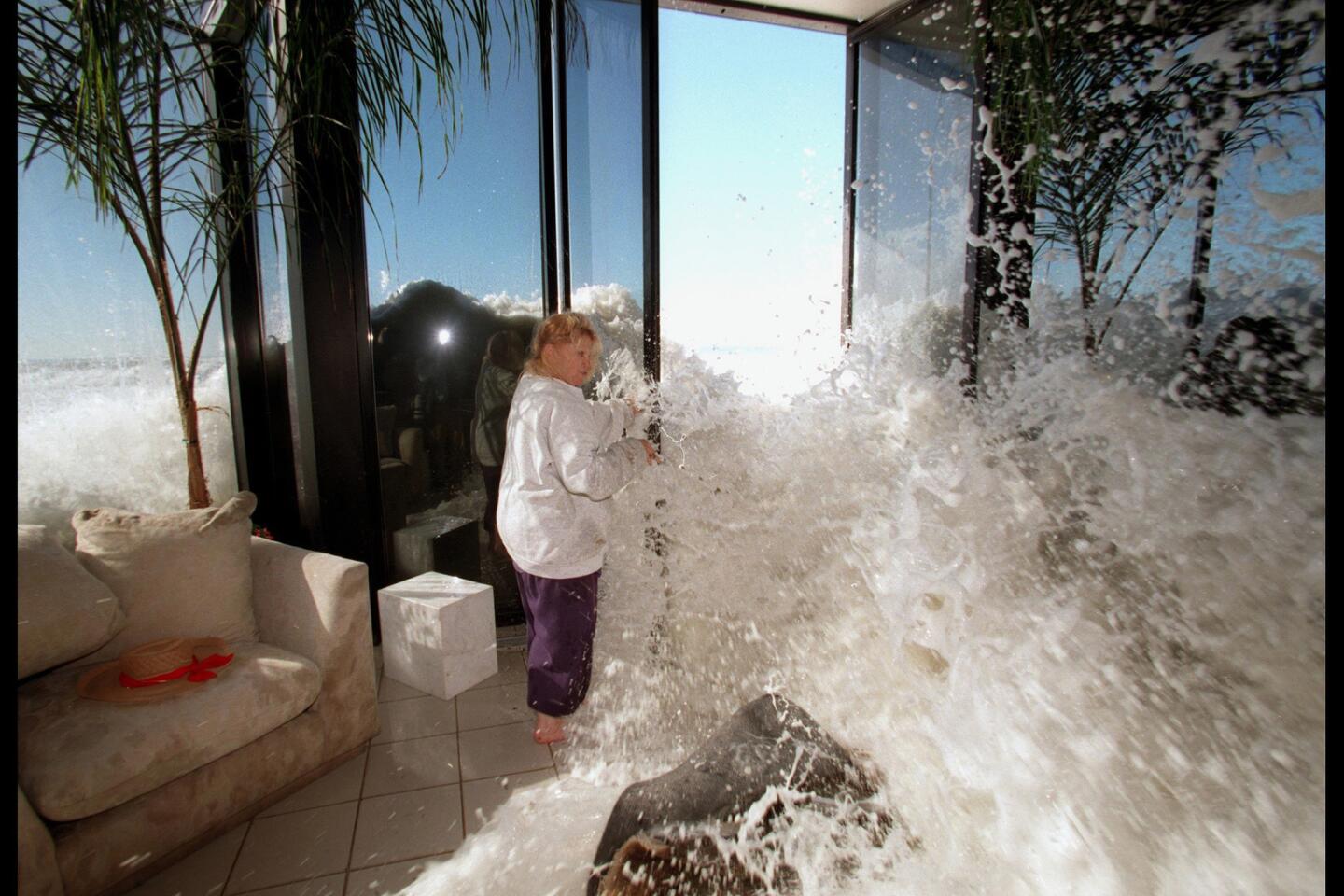
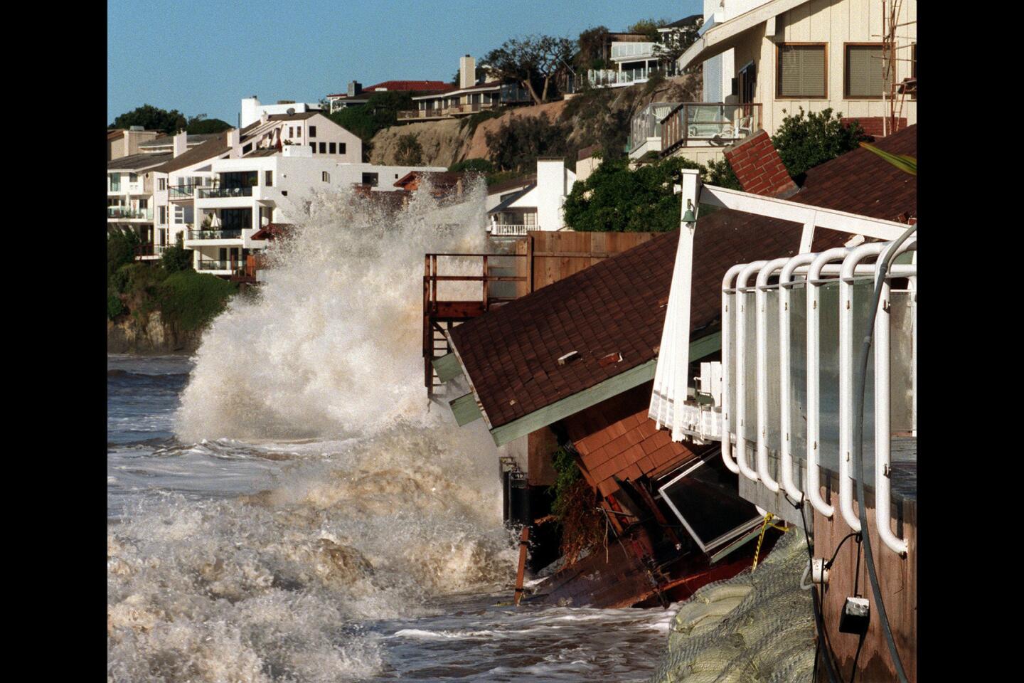
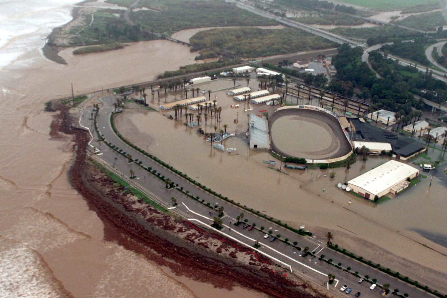
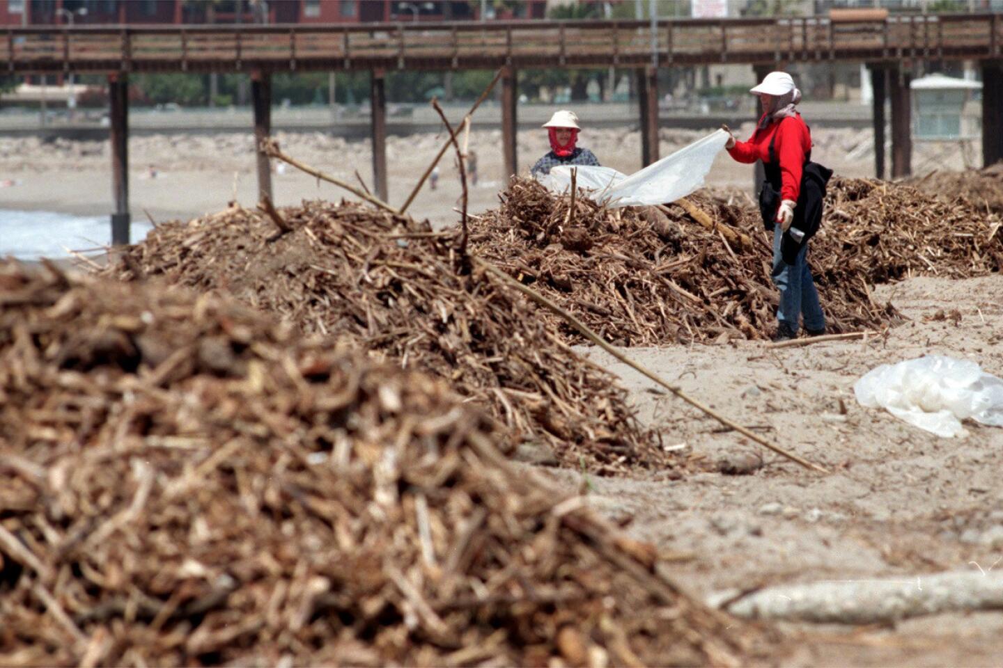
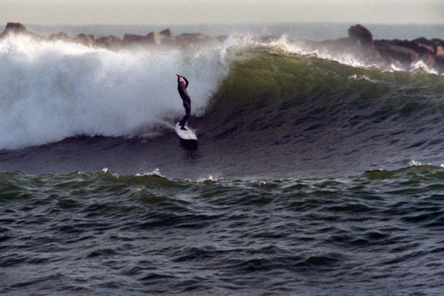
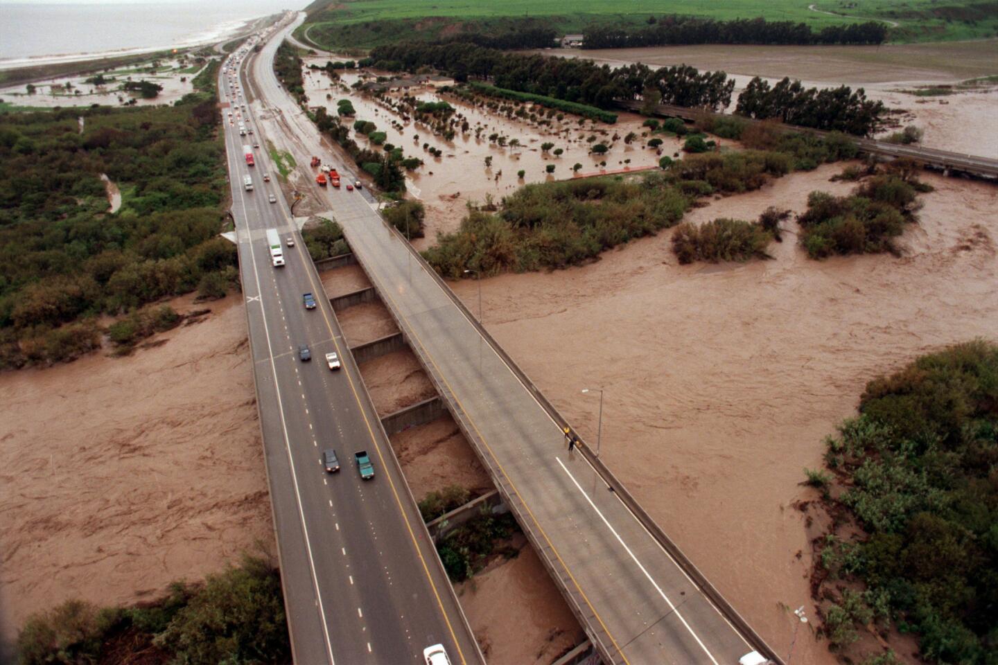
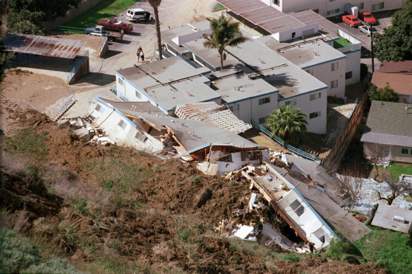
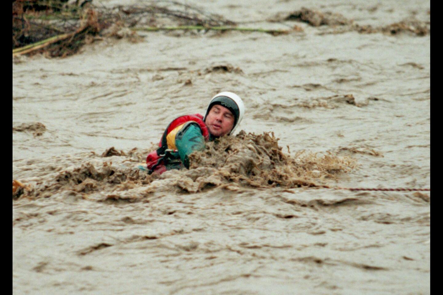
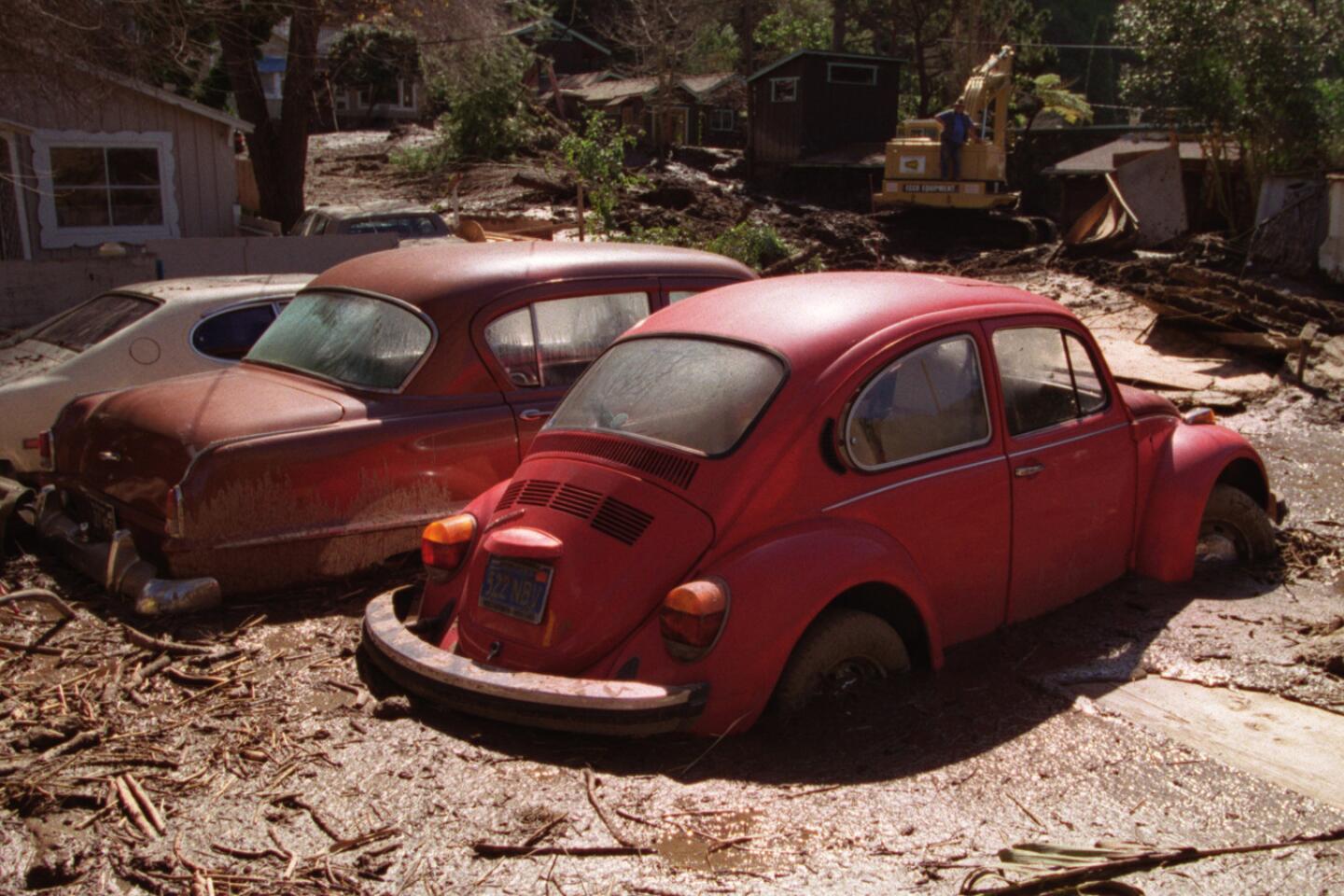
That winter was dramatic for California. Heavy rains came to Orange County in December 1997, dropping an astonishing 7 inches of rain in some parts of the region, flooding mobile home parks in Huntington Beach and forcing crews to use inflatable boats to make rescues, while mudslides destroyed hillside homes.
See the most-read stories this hour >>
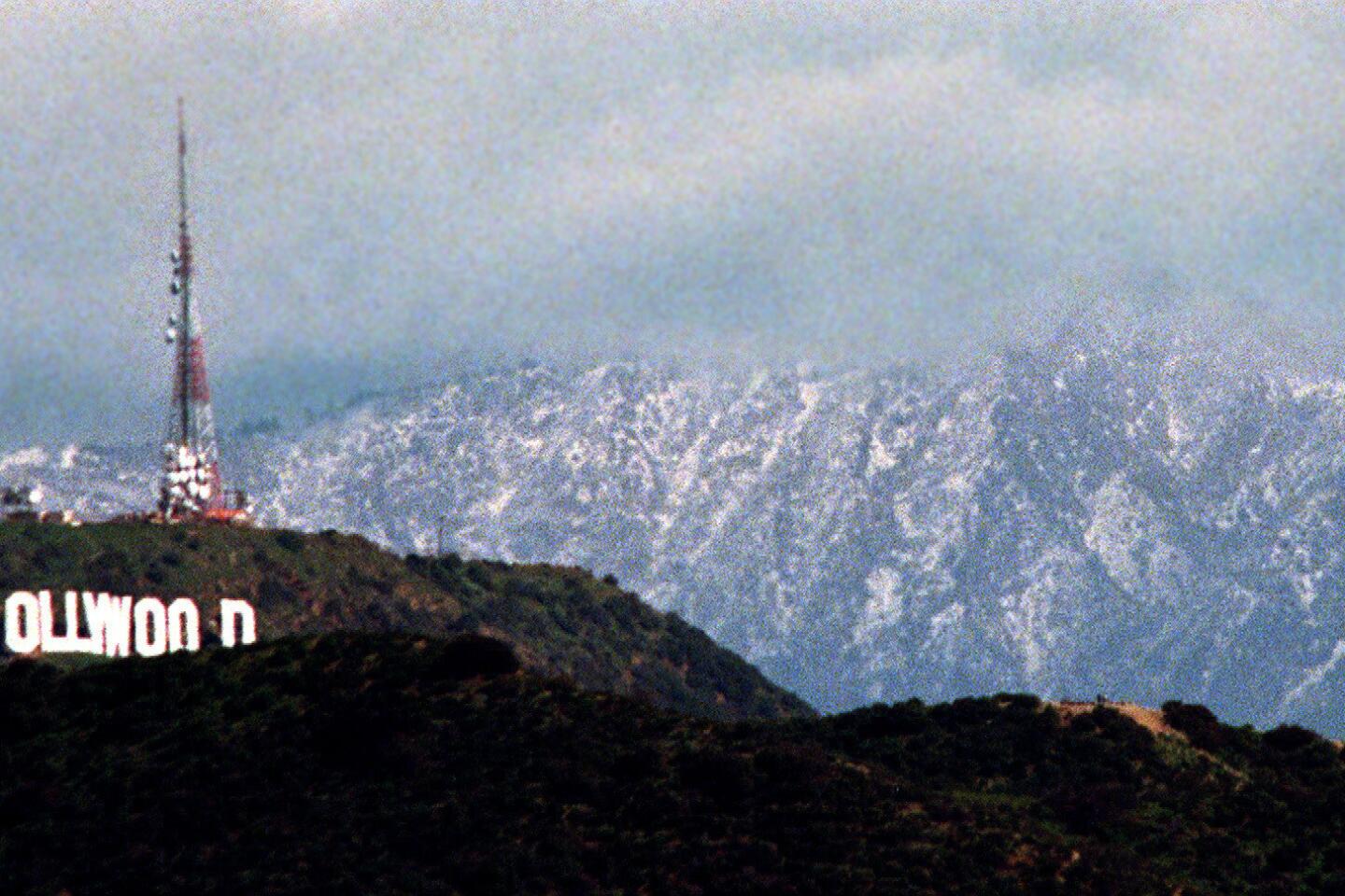
El Niño rains started in Los Angeles County in January 1998, and were the worst across the region in February. Downtown L.A. got about a year’s worth of rain in February alone. Two California Highway Patrol officers died in San Luis Obispo County after their car fell into a massive sinkhole, and devastating mudslides plowed into hillside homes in Laguna Beach, killing residents. More than half a billion dollars in damage was reported in California, and 17 people died.
El Niño is a relatively newly studied phenomenon. Halpert said the 1982-83 El Niño, the second-strongest on record, came as a shock, with few prepared for it. But there was warning about the 1997-98 El Niño, and Halpert said he hopes people in California are preparing for the prospect of a damaging wet winter now.
“Hopefully, the fact that this has been well-advertised, folks are preparing now for what could be a very wet-type winter,” Halpert said.
Patzert, the climatologist for the Jet Propulsion Laboratory, said “it’s fair to say” that the current El Niño will be similar to the strongest two El Niños on record.
“If you look at the really big El Niños, that’s ’82-’83 and ’97-’98, essentially the whole state got hosed, from north to south,” Patzert said. “For instance, Northern California, Sacramento, got almost double the rainfall, and we certainly got double here in L.A.”
Patzert said satellite images of the Pacific Ocean showing the height of seawater -- a reflection of how warm the water is -- show an enormous area at a higher temperature, an area of the ocean that is larger than it was at this time in 1997.
It is so big, Patzert said, that even if ocean temperatures were to start dropping now, El Niño would still have a significant impact on this winter’s rains.
Patzert said Southern California and the rest of the southern U.S., all the way to Florida, can expect a very wet winter, while it should be relatively mild in the upper part of the United States, including New England, a dramatic contrast to the intense snowfall Boston received last winter.
But Patzert issued a note of warning to Californians: Don’t think this El Niño spells the end of this state’s punishing four-year drought.
The last record El Niño that ended in 1998 was quickly followed by the arrival of El Niño’s dry sister, La Niña.
“Thinking ahead one year, could we be whiplashed from deluge back to drought again?” Patzert said. “Because remember, La Niña is the diva of drought.”
Patzert said that in the last 140 years in California, seven out of every 10 years are dry, so it would be foolish to declare an end to water conservation during this winter’s rains.
“This is no time to celebrate and backtrack on our water-saving habits that we’ve developed recently,” Patzert said. “Because conservation is going to be our new lifestyle. Our new normal.”
Follow me on Twitter for more news on El Nino: @ronlin
MORE ON EL NINO:
Skiers, resorts cast hopeful eye toward El Niño
Flood-prone Newport Beach is getting ready for El Niño
The great El Niño of 1997-98, and what it means for the winter to come
More to Read
Sign up for Essential California
The most important California stories and recommendations in your inbox every morning.
You may occasionally receive promotional content from the Los Angeles Times.
