A rare third year of La Niña is on deck for California, forecasters say
- Share via
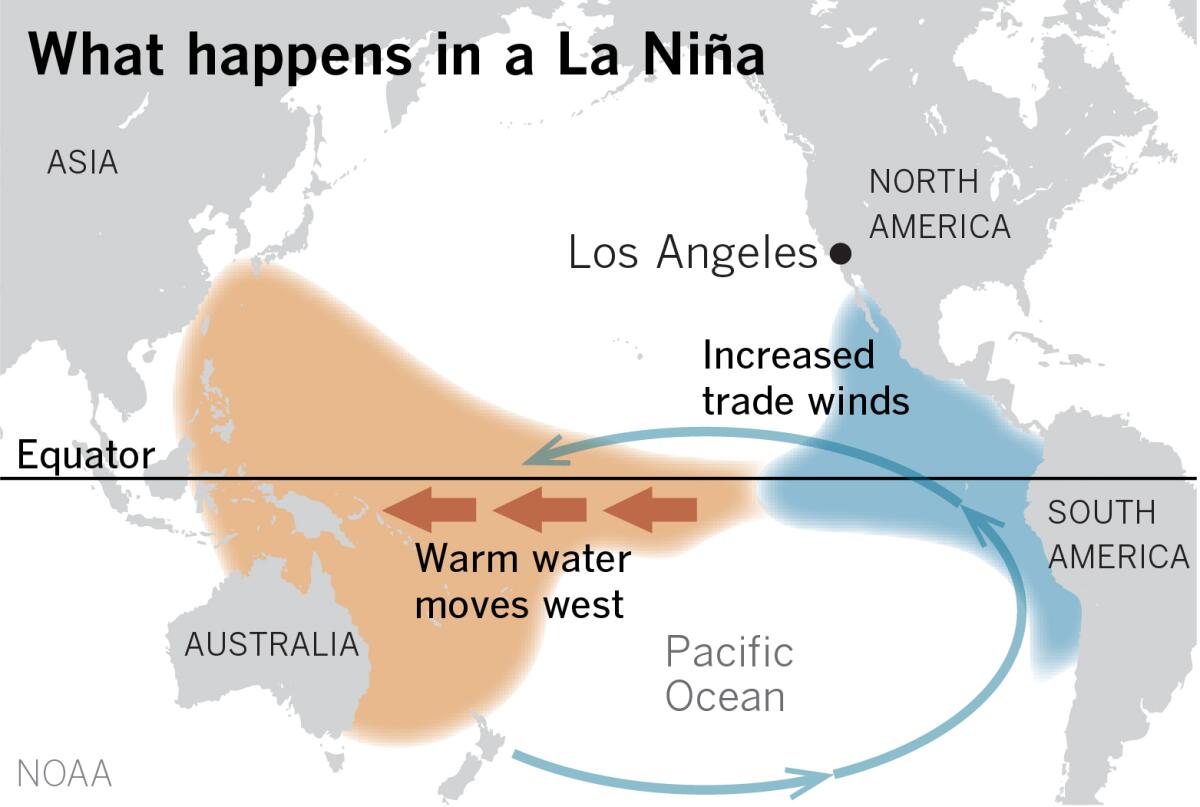
Californians should brace for another year of La Niña as the stubborn climate pattern in the tropical Pacific is expected to persist for a third consecutive year, forecasters say.
The latest outlook, published Thursday by the National Weather Service’s Climate Prediction Center, has increased the chances of La Niña sticking around through November to 91%, a near certainty. The pattern may also linger into winter, with an 80% chance of La Niña from November to January and a 54% chance from January to March.
La Niña is the cooler phase of the El Niño-Southern Oscillation climate pattern and is a significant driver of weather conditions across the globe, including temperature, rain and snowfall, jet streams and tropical cyclones.
In the southwestern United States, La Niña seasons tend to be drier, which could spell trouble for the drought-ravaged region.
“It doesn’t mean for sure, 100% it’s going to be dry, but it does tilt the odds toward dry,” said Mike Halpert, deputy director of the Climate Prediction Center. “If you had been wet for a while now, drier than average wouldn’t matter — but it becomes very significant this year because of the drought that’s already in place. Another dry winter is certainly not going to be good news for California.”
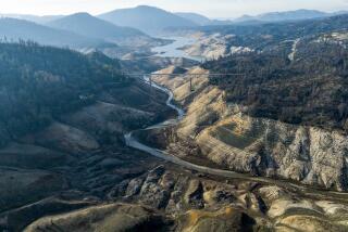
According to The Times’ drought tracker, more than 97% of the state is now under severe, extreme or exceptional drought, the three worst categories. The state’s reservoirs are at about 41% of capacity.
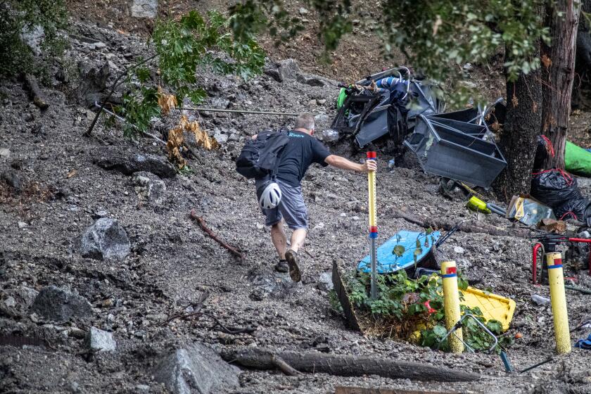
Residents in Oak Glen and Forest Falls had been ordered to evacuate because of threats from mudslides and debris, affecting about 50 homes, authorities said.
Should the forecast manifest, it would be only the third time La Niña has stuck around for three consecutive years since records began in the early 1950s, Halpert said. The only other such “triple dips” were from 1973 to 1976 and from 1998 to 2001.
“We have seen it, obviously, but not a lot,” he said.
The outlook mirrors that of the World Meteorological Organization, which is also predicting another La Niña this year. That forecast includes a 70% chance that La Niña will continue in September to November, and gradually decreases to 55% in December to February.
“It is exceptional to have three consecutive years with a La Niña event,” WMO Secretary-General Petteri Taalas said in a post about the forecast, which notes that it would be the “first triple dip La Niña of the century.”
The effects of the pattern aren’t limited to the Southwest. La Niñas are known to result in wetter, snowier conditions in parts of the northern U.S., more frequent tornadoes in the south-central U.S. and increased Atlantic hurricane season activity.
Globally, La Niña can reduce crop yields in the Horn of Africa, southeast South America and other regions, and produce colder, drier conditions in west Antarctica, among other effects.
On the U.S. West Coast, La Niña can also reduce the number of atmospheric rivers, which could be worrisome in California, which receives much of its precipitation in the winter. A dry season this year forced officials to slash allocations from the State Water Project to just 5%.
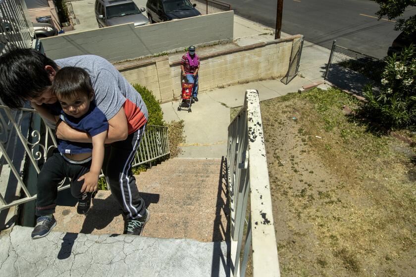
‘Whether you live in a luxury house or in an apartment, we all have to reduce water consumption,’ says UC Davis professor Samuel Sandoval Solís.
Halpert said the relationship between human-caused climate change and La Niña remains a topic of interest.
“La Niña and El Niño have existed for hundreds, thousands, of years we think, so it’s not like climate change has any manifestation on the actual phenomena,” he said. “A more relevant question is, is climate change changing the frequency of the two events, and to be honest, that’s really still an open research question.”
According to the WMO, climate change is already amplifying the effects of some naturally occurring events such as La Niña.
“All naturally occurring climate events now take place in the context of human-induced climate change, which is increasing global temperatures, exacerbating extreme weather and impacting seasonal rainfall patterns,” Taalas said.
Last fall, notably dry conditions helped contribute to the spread of multiple September and October wildfires in California, including the Windy fire and KNP Complex fire, which destroyed some ancient sequoias.
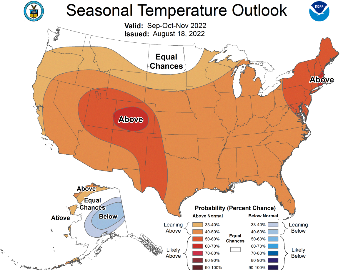
And while La Niña only tends to have a slight impact on temperatures in Southern California, a separate climate outlook issued by the Climate Prediction Center shows a higher likelihood of above-normal temperatures across much of the U.S. through November.
California has a roughly 33% to 50% chance of being warmer than average, the outlook indicates. Though it does not include temperature predictions for December and into next year, a warm La Niña winter could affect the timing and availability of water in the state, as warmer temperatures can make more precipitation fall as rain instead of snow.
“We get asked a lot, when you’re in a drought and we’re predicting dry conditions, what do you do?” Halpert said. “There’s not a whole lot. There’s water restrictions — and basically the old mantra of ‘hope for the best but prepare for the worst.’”
More to Read
Sign up for Essential California
The most important California stories and recommendations in your inbox every morning.
You may occasionally receive promotional content from the Los Angeles Times.
