See the rebirth of California’s ‘phantom’ Tulare Lake in striking before-and-after images
- Share via
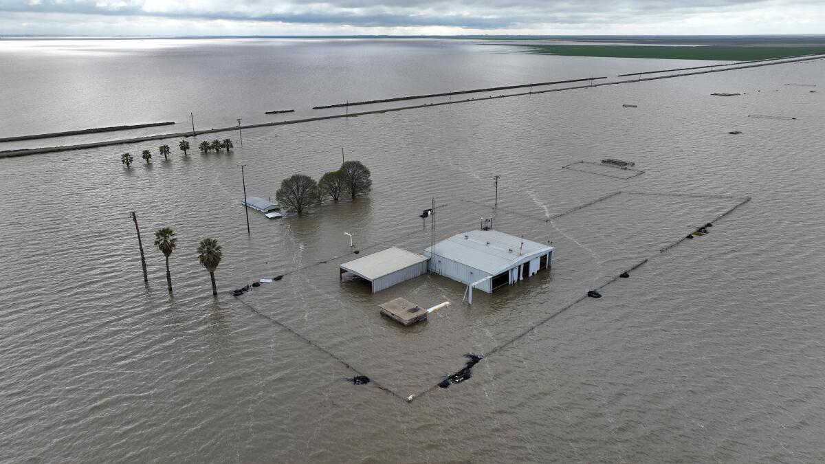
A once-mighty body of water is rising again in Central California.
Tulare Lake was once the largest freshwater lake west of the Mississippi River and was last full in 1878. It was mostly drained in the late 19th and early 20th centuries as its tributaries were dammed and diverted for agriculture.
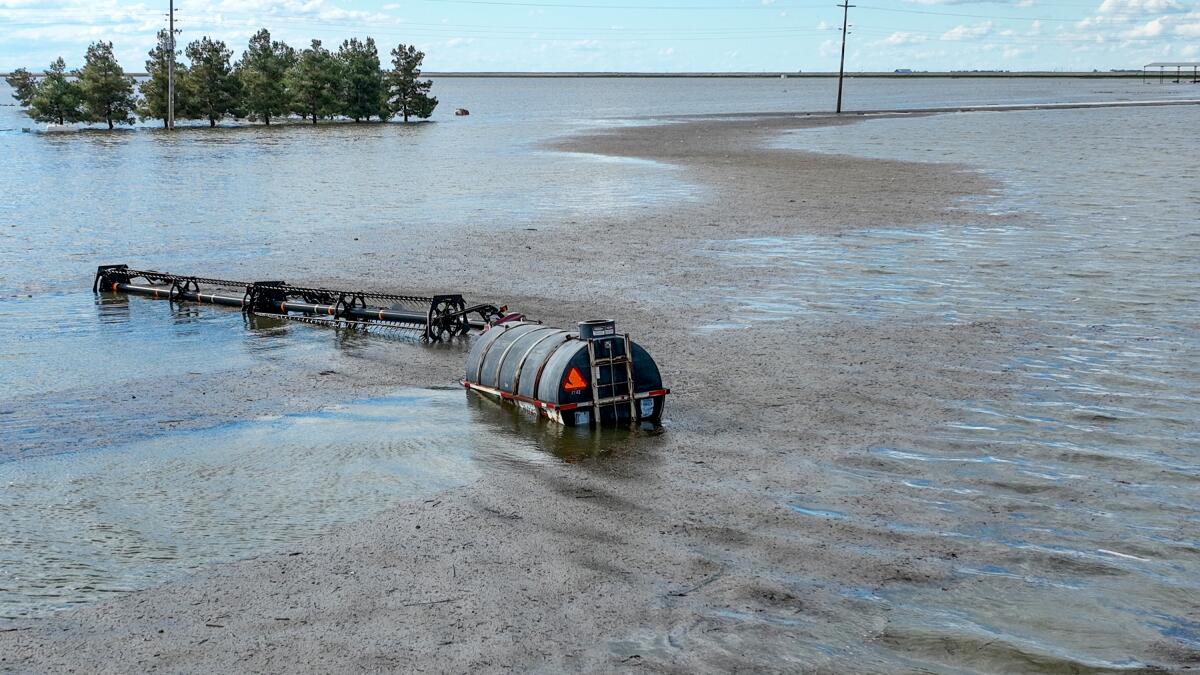
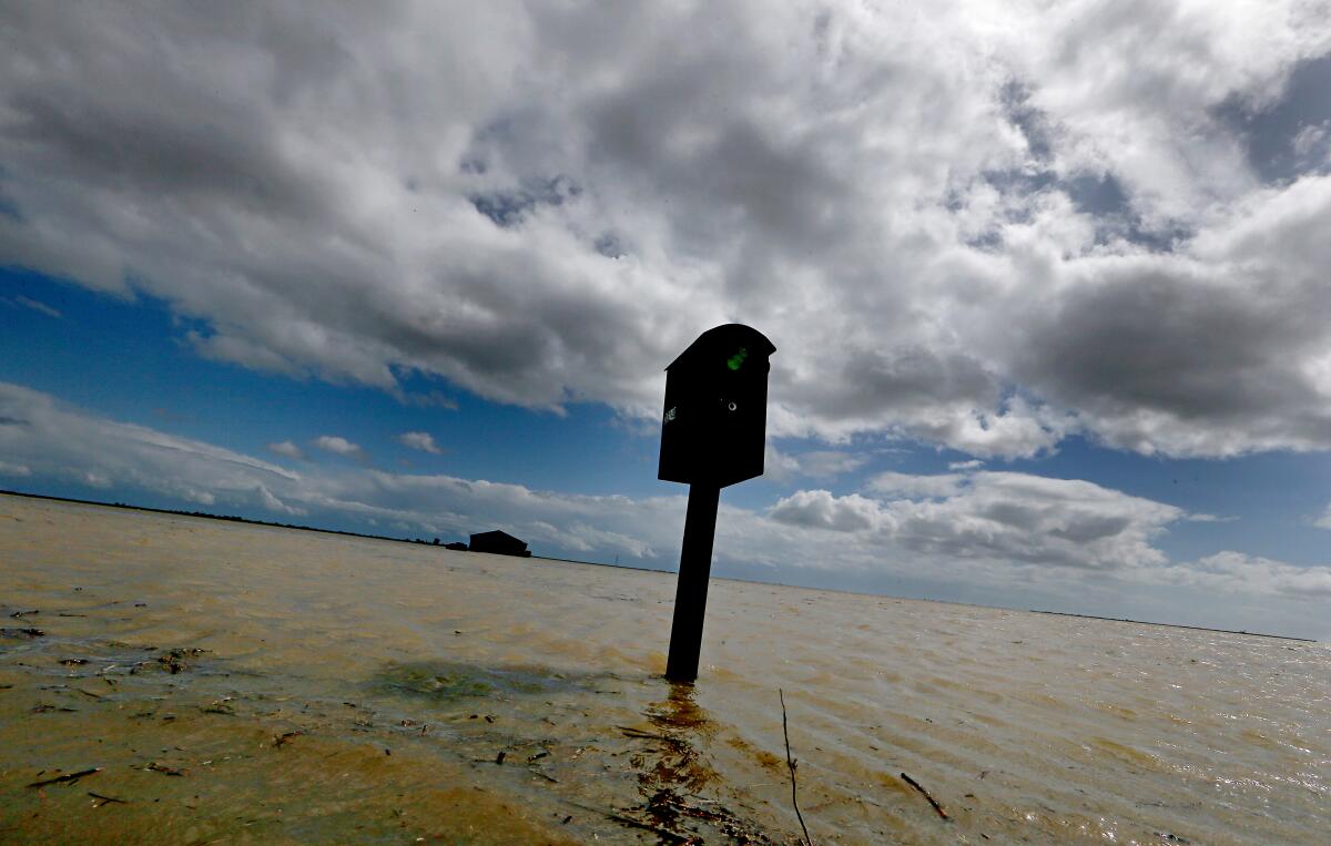
In recent weeks, after relentless storms, formerly depleted rivers are roaring from the Sierra Nevada into the valley, spilling from canals and broken levees into fields as the phantom lake reemerges.
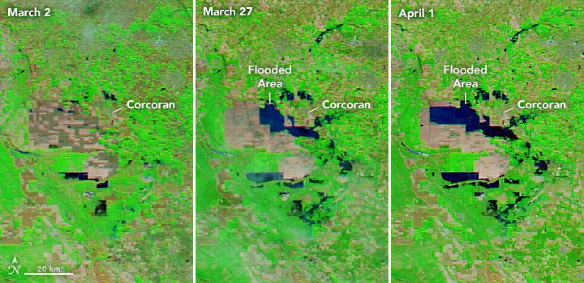
These satellite images from NASA show the farmland west of Corcoran, a town of around 22,000, before and after flooding.
In 1983, a record-setting year of rain, Tulare Lake reached its most recent high point, flooding some 82,000 acres of farmland.
“Every 15 years or so, in the wake of a record winter storm or heavy spring snowmelt, the dams and ditches cannot contain the rivers,” Mark Arax wrote in The Times that year. “When that happens, the great inland sea, at least a hint of it anyway, rouses from its slumber.”
In this interactive slider, the image on the left shows farmland in October 2021 on what was previously Tulare Lake. The image on the right, from March 24, 2023, shows murky water overtaking vast swaths of the land.
Some 10,000 acres of farmland have already flooded, and more inundation is likely as California’s record-setting snowpack melts off.
With temperatures on the rise, communities are bracing for that next environmental threat from the snowmelt.
These false-color images from NASA use a deep blue to show water and a bright green to show vegetation. The image on the left, from March 2022, shows a dry lake bed and relatively arid farmland. On the right, water has overtaken a large area and vegetation has expanded considerably.
In addition to ruining crops, the reemergence of Tulare Lake has brought fears of contamination by Los Angeles County’s sewage sludge.
If a sewage plant in the area were to flood, the surrounding farmland would no longer be suitable for growing human food. Nearby levees will be put to the test.
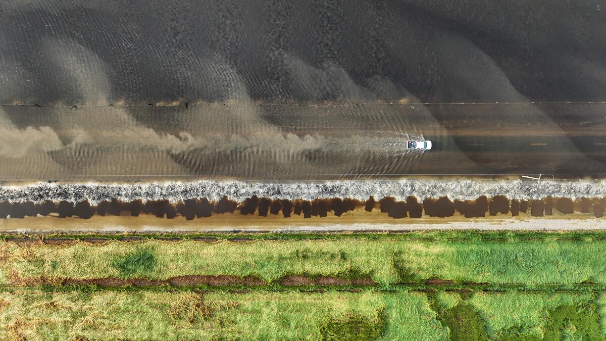
“I think what we’re all hoping for at this point is that it melts gradually,” Antoinette Serrato, a meteorologist with the National Weather Service in Hanford, said of the snowpack. “If it melts gradually, then most of the levees are designed to be able to hold that.”
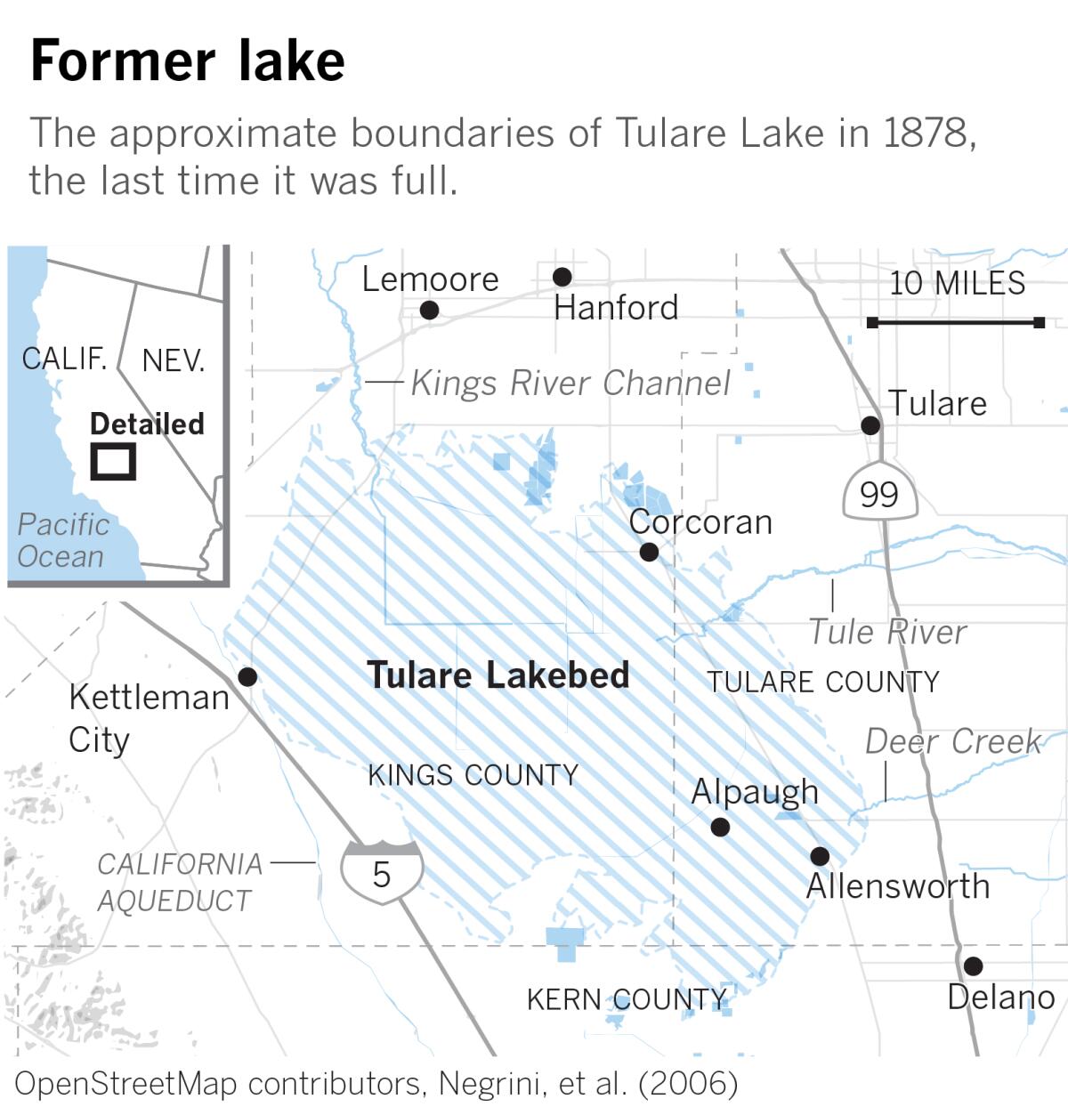
Before white settlers arrived in the Central Valley in the 1800s, Tulare Lake was the center of life for the Native Yokut people who lived by its shores and along the rivers.
Then farmers began diverting water and claiming land in the lake bottom.
The lake’s rise is “just a very small reminder of what was once here,” Leo Sisco, the tribe’s chairman, said in an interview with The Times last month.
Times staff writers Ian James, Susanne Rust and Brennon Dixson and staff photographer Robert Gauthier contributed to this report.
More to Read
Sign up for Essential California
The most important California stories and recommendations in your inbox every morning.
You may occasionally receive promotional content from the Los Angeles Times.

