April showers break records in L.A. County, with more rain and snow on the way

- Share via
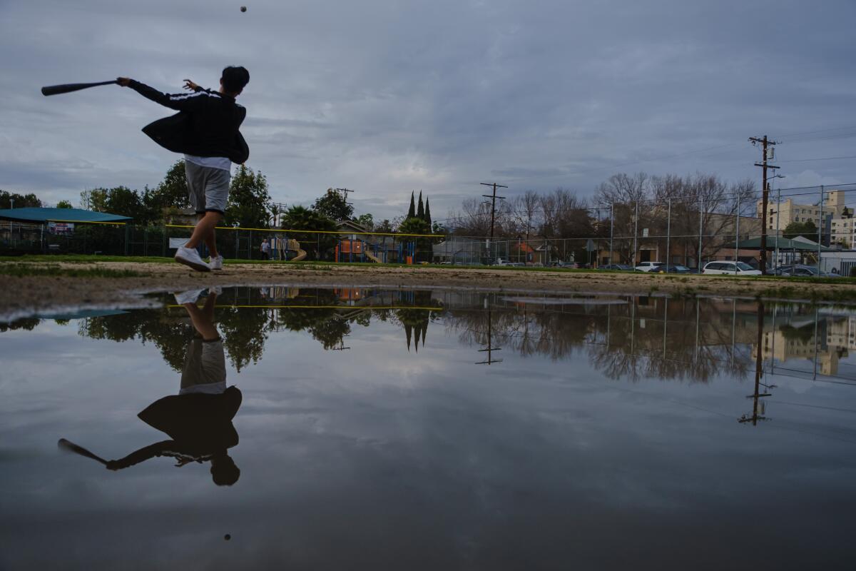
A slow-moving storm that unleashed widespread rain across Southern California on Monday, shattering a 62-year-old rainfall record in downtown Los Angeles, isn’t letting up quite yet.
The low-pressure system is expected to bring more rain, less than an inch, to the coast and valleys Tuesday evening through Wednesday. The foothills and mountains could see up to an inch during the same period. There’s also a slight chance of thunderstorms, which could increase rainfall rates across the Southland, said Joe Sirard, a meteorologist with the National Weather Service in Oxnard.
“The vast majority of the precipitation happened yesterday, but we’re getting another surge of moisture late this evening,” Sirard said.
Heavy rain battered the region Monday, prompting evacuation warnings near areas scarred by wildfires and triggering a debris flow in the Hollywood Hills.
The daily precipitation totals also rewrote record books across Los Angeles County. Downtown L.A. received a record-setting 1.10 inches of rain, breaking the record of 0.84 of an inch set in 1958. Burbank received 0.96 inches, surpassing a record of 0.85 inches for the day set in 1986. Palmdale and Lancaster received 0.36 inches and 0.39 inches, respectively, breaking records set in 1958 and 1978.
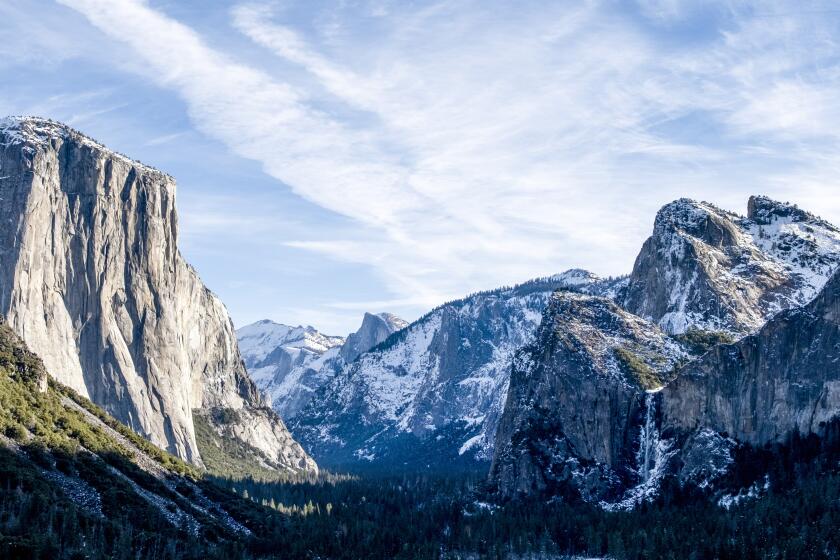
The storm is also expected to bring more much-needed snow to California’s mountains.
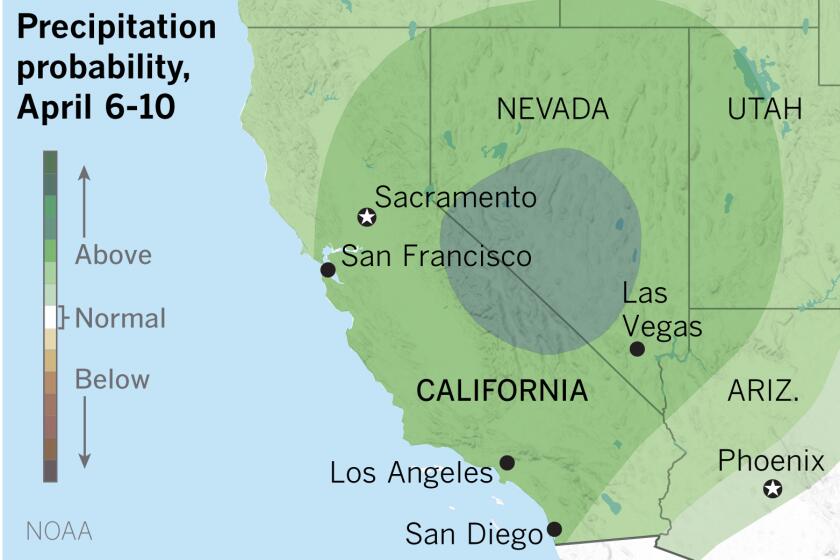
It’s not enough to make up for a dry winter, but the precipitation outlook for early April looks promising
L.A. County mountains are forecast to see heavy snow at higher elevations through Thursday, with accumulations between 12 and 18 inches above 6,000 feet. Up to a foot of fresh powder could fall at elevations as low as 5,000 feet, Sirard said.
Drivers taking the 5 Freeway north from L.A. to Kern County should be prepared for early morning snow on the Grapevine.
“We do think the colder air will come in just enough that, [Tuesday] morning and possibly Wednesday morning, just at the coldest parts of the morning, we could get some snow on the Grapevine,” said Kathy Hoxsie, a meteorologist with the National Weather Service in Oxnard.
Hoxsie said the snow might not stick, but the area could get enough “to cause some issues” at certain points of the 40-mile stretch of Interstate 5 from Castaic north to the San Joaquin Valley.
The weather service has issued a winter weather advisory through Thursday morning, warning of dangerous driving conditions, travel delays and road closures.
“Folks who are planning to drive in the mountains need to be prepared,” Sirard said. “Though we wouldn’t recommend people drive out to look at the snow in these conditions. We need to be safe and use good judgment.”
The Sierra Nevada are expected to receive up to 4 feet of new snow at elevations above 7,000 feet and up to 3 feet at as low as 5,000 feet.
The Lake Tahoe area, where surveyors with the Department of Water Resources last week measured a mediocre snowpack resulting from a mostly dry winter, could see up to a foot of snow, forecasters say.
Times staff writer Jaclyn Cosgrove contributed to this report.
More to Read
Sign up for Essential California
The most important California stories and recommendations in your inbox every morning.
You may occasionally receive promotional content from the Los Angeles Times.


