Snow possible on the Grapevine this week during early mornings
- Share via
Drivers taking the 5 Freeway north of Los Angeles into Kern County should note that the Grapevine could see snow early Tuesday and Wednesday mornings this week.
“We do think the colder air will come in just enough that, tomorrow morning and possibly Wednesday morning, just at the coldest parts of the morning, we could get some snow on the Grapevine,” said Kathy Hoxsie, a meteorologist with the National Weather Service in Oxnard.
Hoxsie said the snow might not stick, but the area could get enough “to cause some issues” at certain points of the 40-mile stretch of Interstate 5 from Castaic north to the San Joaquin Valley.
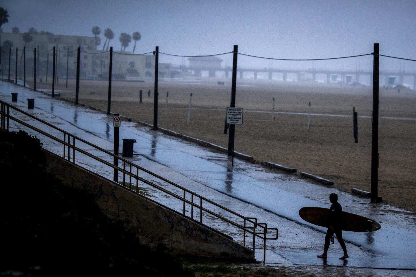
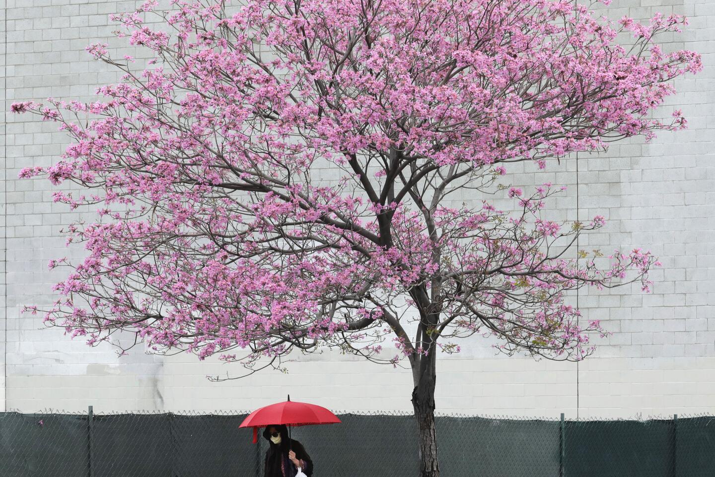
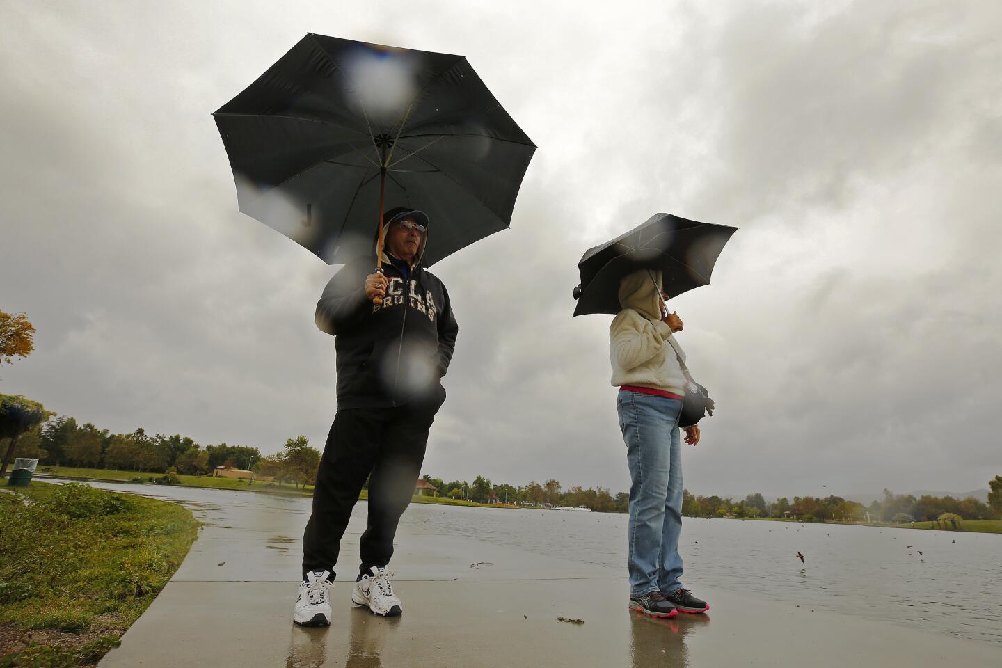
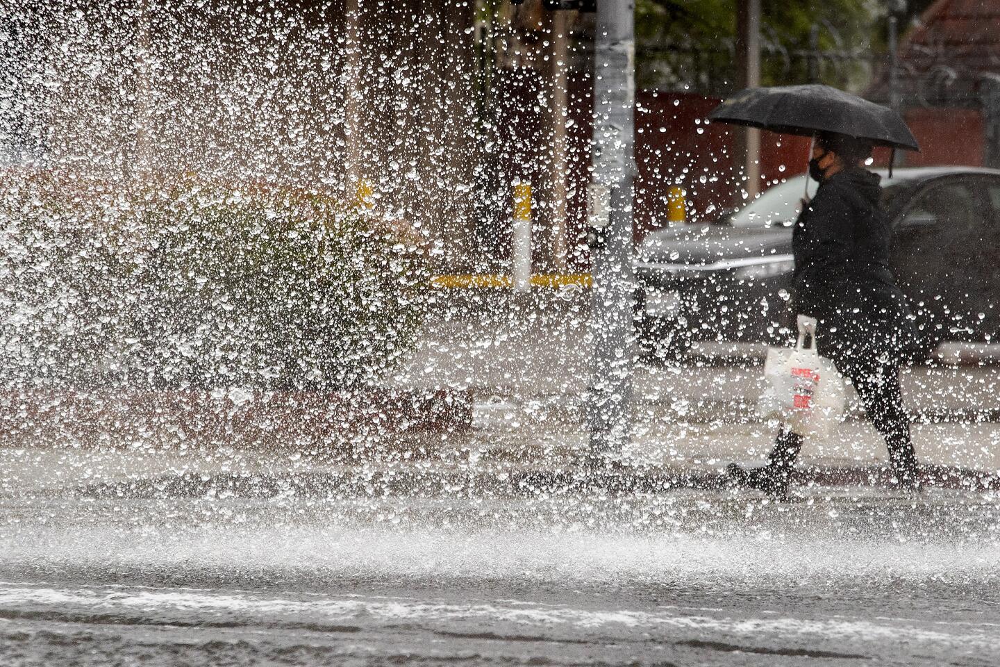
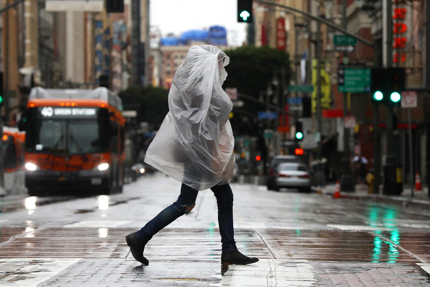
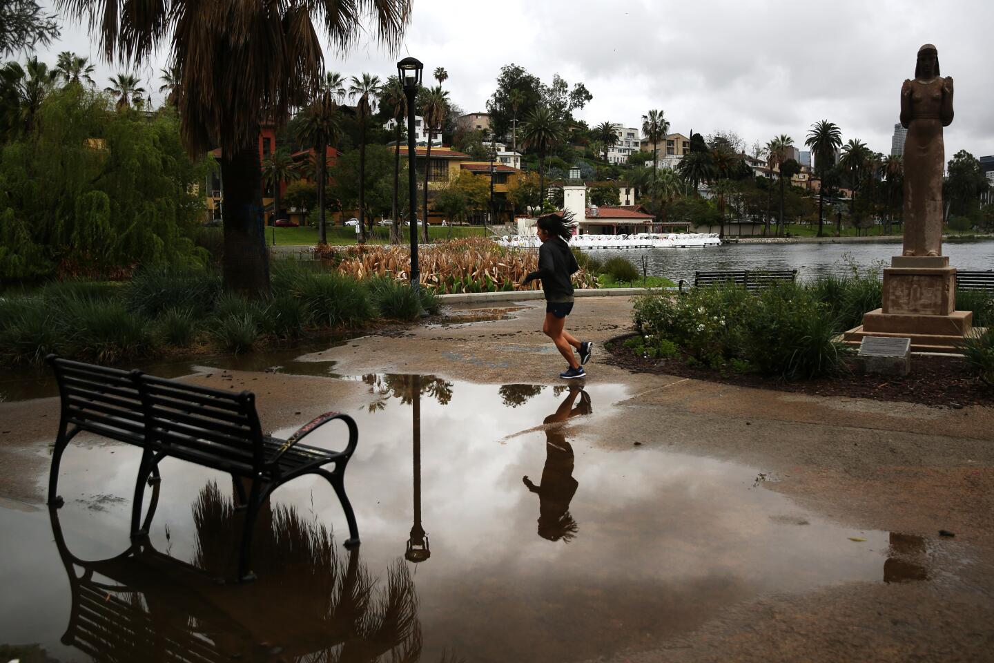
This week has already seen significant weather, with downtown Los Angeles receiving a record-setting 1.10 inches of rain Monday, which broke the previous record of 0.84 of an inch set in 1958.
“It doesn’t hurt when you have a rain band that just sits on top of you for several hours,” Hoxsie said.
The record-setting rainfall was part of a slow-moving storm that unleashed heavy rain across Southern California, triggering a debris flow in the Hollywood Hills and prompting mandatory evacuations in Orange County.
Steady rain had been falling for much of the morning across Los Angeles County when a 40- to 50-foot section of a hillside behind a one-story home in the 2800 block of North Westshire Drive in the Hollywood Hills came sliding down shortly before 9:30 a.m. The slide sent 4 feet of mud into the backyard, according to the Los Angeles Fire Department.
The inside of the home was not damaged, and no one was injured, fire officials said. Lechner Place is closed to traffic from Westshire Drive to Hollyridge Drive because of the slide.
A band of heavy precipitation that moved through Orange County mid-morning prompted officials to announce mandatory evacuations for an area near where the Holy fire burned in August 2018. The areas under mandatory evacuation include Trabuco Elementary School, which is closed amid the coronavirus outbreak, along with Trabuco Fire Station, O’Neill Regional Park and about five homes in Trabuco Creek.
Officials also issued voluntary evacuation warnings for homes in the Rose Canyon and Mystic Ranch-El Cariso area.
During past storms, residents in the area who have been told to evacuate instead typically shelter in place, according to the Orange County Sheriff’s Department. But those who decide to leave their homes and are in need of shelter are being directed to call the county’s Emergency Operations Center Hotline at (714) 628-7085.
The downpour prompted the National Weather Service to issue a flash flood warning for San Bernardino, Riverside and Orange counties, warning of rainfall rates between 0.40 and 0.65 inches per hour that could trigger flooding.
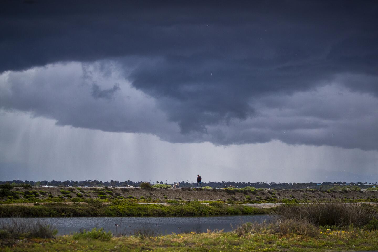
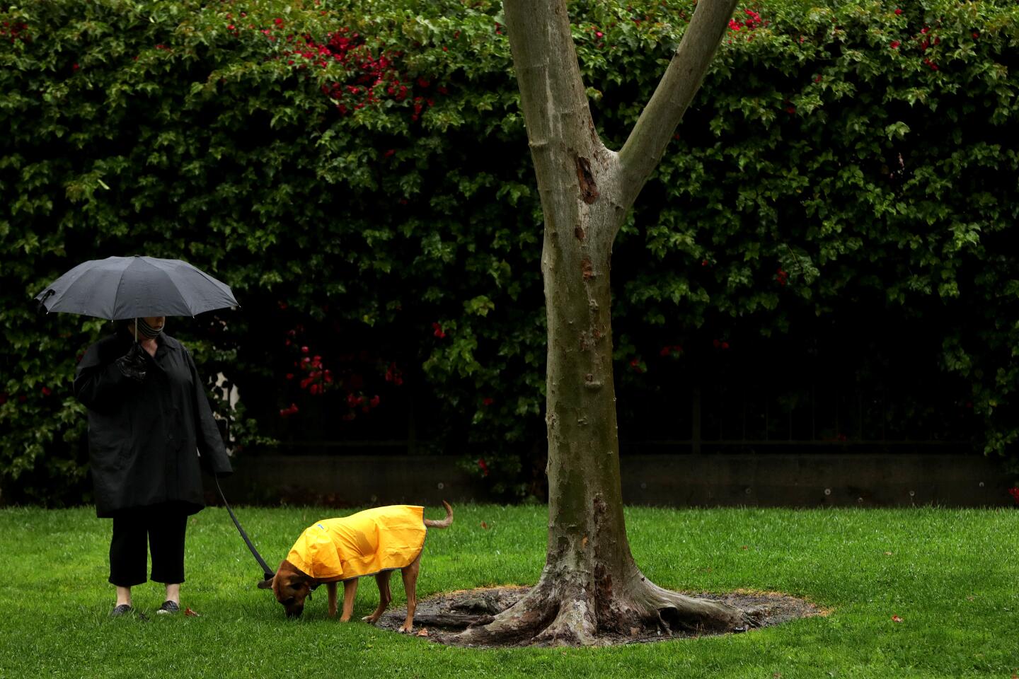
The drenching rain, a result of a low-pressure system with a center lingering off the coast of the Bay Area, comes as officials continue to implore Californians to stay home to help curb the spread of the coronavirus.
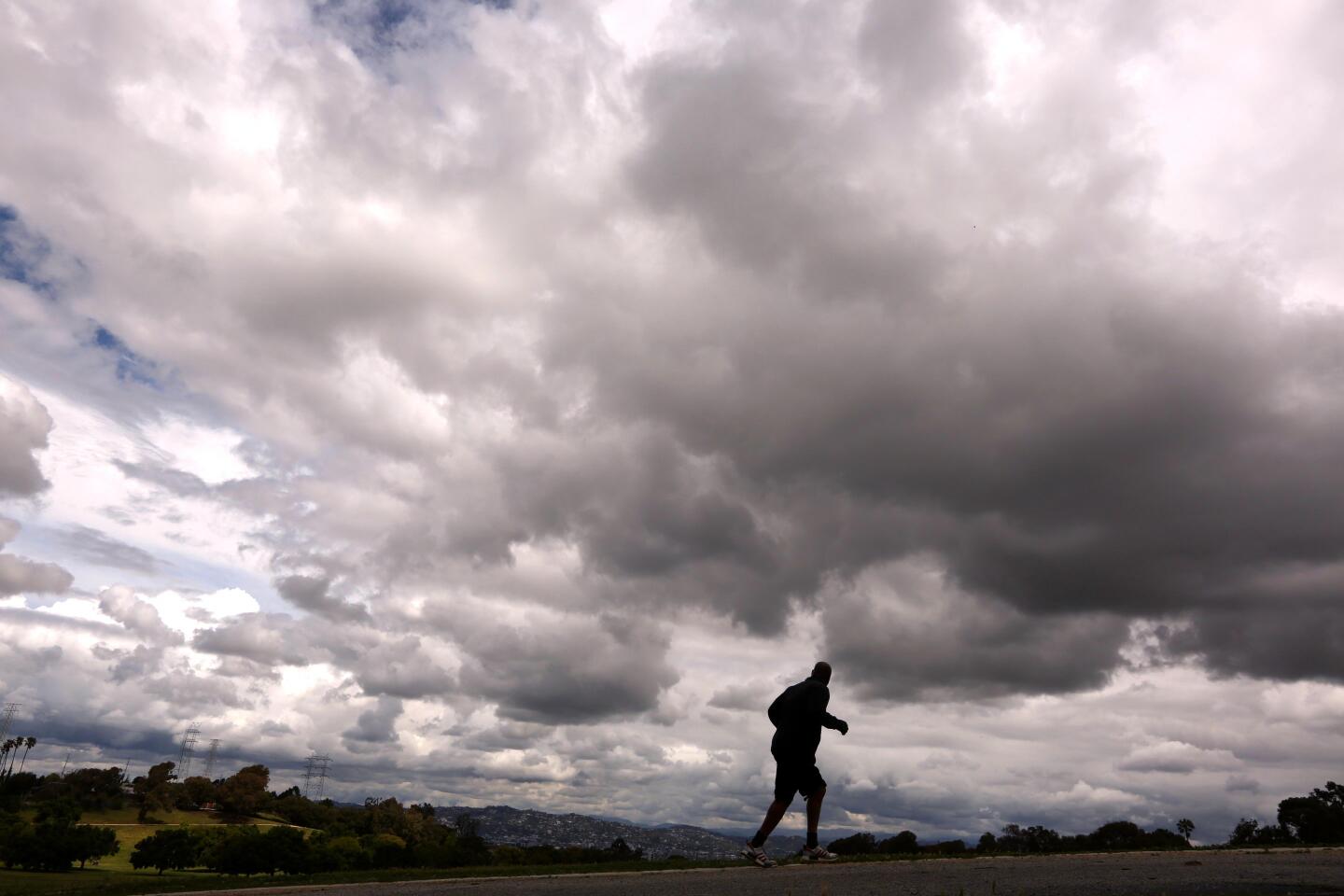
The bulk of the rain is expected to diminish overnight Monday. Heavy rain will return Tuesday night through at least Wednesday evening, and some areas could see showers Thursday, said Tom Fisher, a meteorologist with the National Weather Service in Oxnard.
As of 10 a.m. Monday, the storm had dumped 1.65 inches on Beverly Hills, 1.5 inches in Bel-Air, more than an inch in downtown Los Angeles and more than 2 inches in Woodland Hills. The Los Angeles County mountains got an even better soaking, having already received up to 4.65 inches of precipitation by Monday morning, according to the weather service.
“It’s very moisture-rich,” Fisher said of the storm. “This is more of what we expect to see in a January or February system. It’s unusual, but it’s welcome.”
With no major storms in the forecast, California could be headed for another dry water year, experts warn.
The storm is expected to bring between an inch and 2 inches of rain to the coasts and valleys through Tuesday. The San Gabriel Mountains are expected to see a bit more, with forecasters anticipating between 3 and 5 inches falling along the range.
The weather service also warned of possible shallow debris flows around the areas where the Getty and Saddleridge fires burned last year.
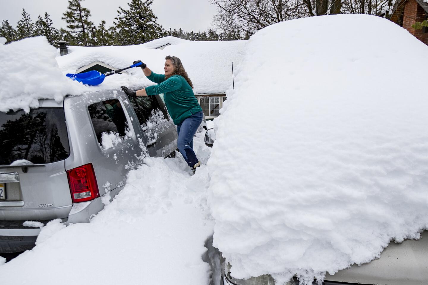
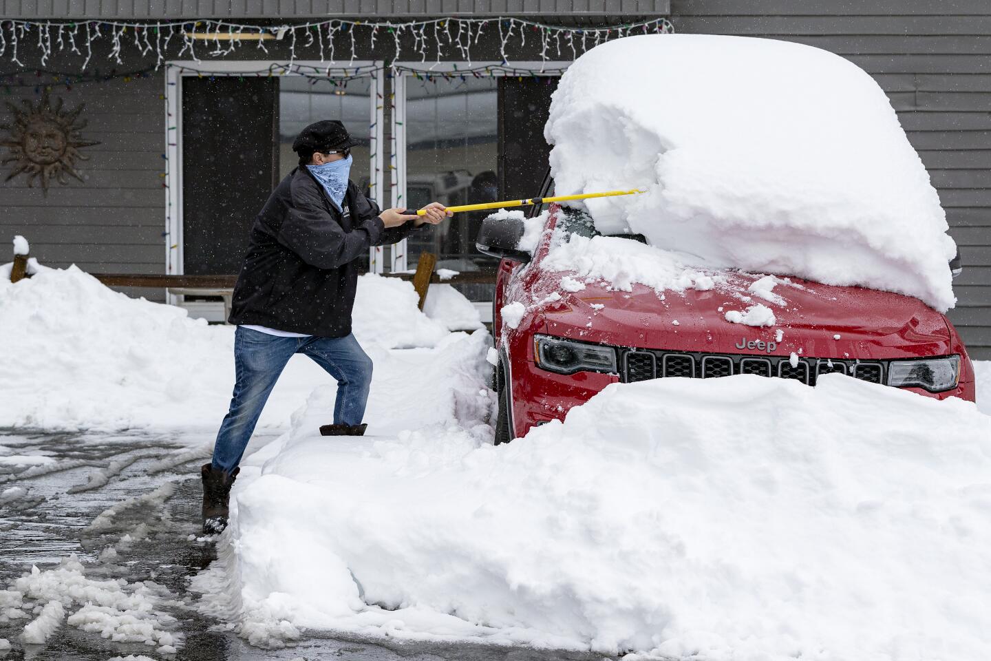
The storm is also expected to dump some much-needed snow across California’s mountains.
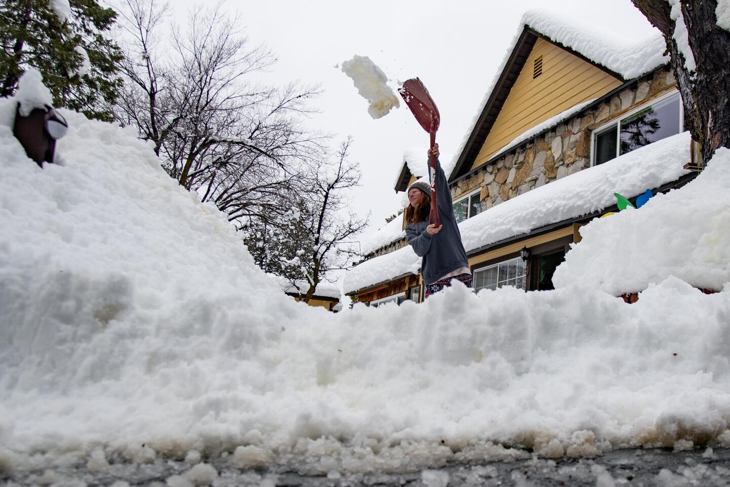
The Los Angeles County mountains are forecast to see heavy snow at higher elevations through Thursday, with 15 to 30 inches predicted at 6,000 feet and higher, and 4 to 12 inches at 4,500 feet.
The Sierra Nevada is also expected to receive a solid dumping of fresh powder, with up to 4 feet likely above 7,000 feet and up to 3 feet up as low as 5,000 feet in the southern section of the mountain range.
The Lake Tahoe area, where surveyors with the Department of Water Resources last week measured a lackluster snowpack resulting from a mostly dry winter, could see up to a foot of snow, forecasters say.
“This storm has stronger orographic lifting than what we saw in the several systems in March,” Fisher said, meaning the storm is primed to bring more rain and snow to mountain areas. “This one is on a good trajectory to bring us significant rainfall.”
Times staff writer Paul Duginski contributed to this report.
More to Read
Sign up for Essential California
The most important California stories and recommendations in your inbox every morning.
You may occasionally receive promotional content from the Los Angeles Times.
