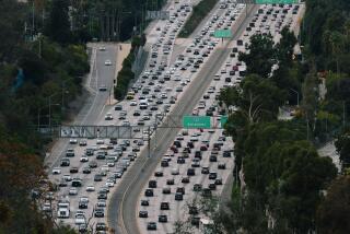
The Grapevine is the heart of California’s freeway system. It’s also vulnerable
- Share via
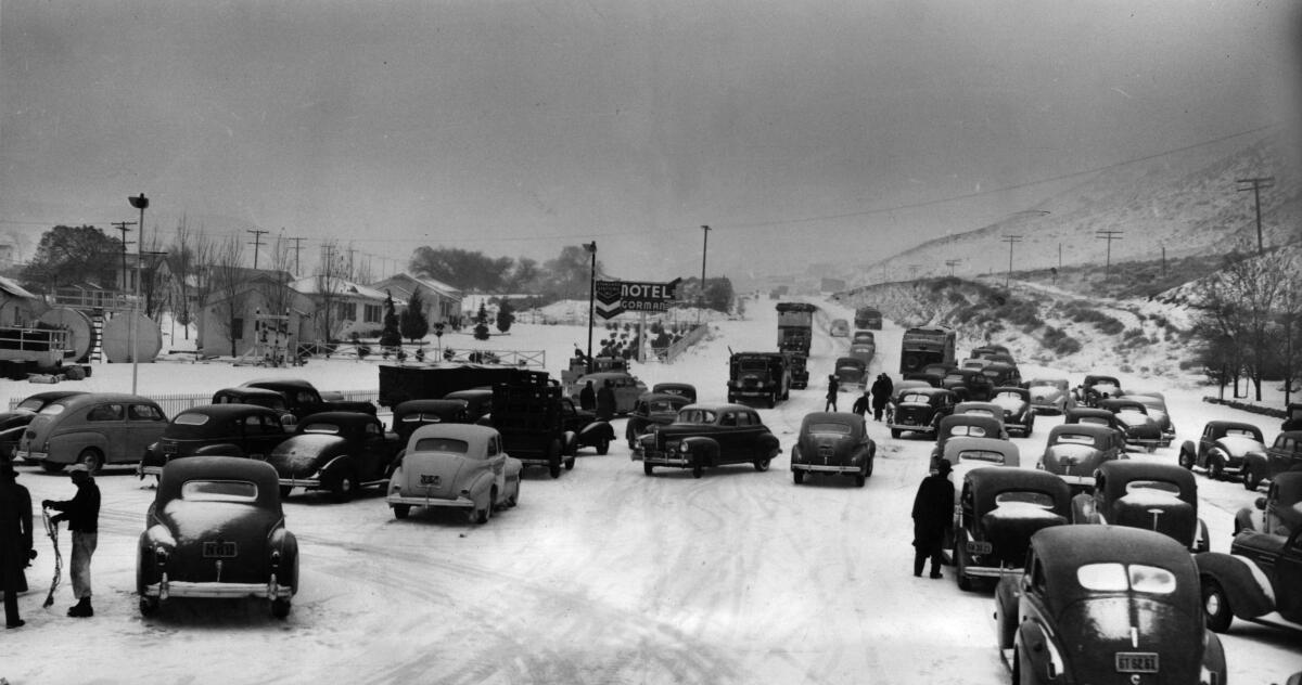
Holiday travelers will be tested again as a new cold storm arrives on the West Coast from the Aleutian Islands late Sunday, and snow levels may dip as low as 2,500 feet. Mountain roads and passes are likely to be affected, and the National Weather Service warns those who need to travel into or through the mountains should not wait until Monday or Tuesday — New Year’s Eve — to do it.
If getting over the mountains between Los Angeles and Kern counties will be tough in the next few days, imagine what it was like before Interstate 5 was completed in 1970.
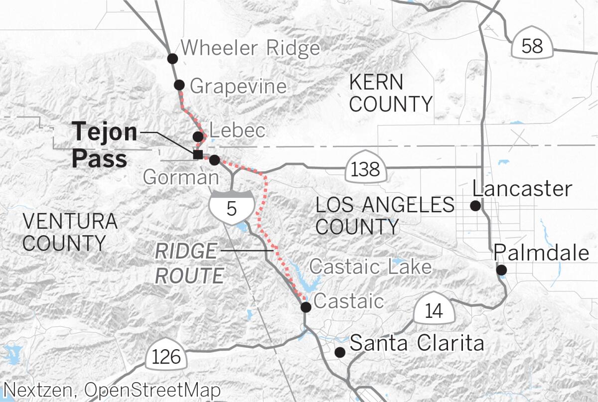
The old route, known as the Ridge Route, opened in 1915 and was fully paved by 1919. According to a 1997 story in The Times, in an effort to minimize earth moving, it featured 697 curves, which caused drivers to make the equivalent of 110 complete circles as they crossed the mountains. It was a 20-foot-wide roadway carved out of the mountains with horse-drawn dirt scrapers.
The speed limit on this rustic road was 15 mph.
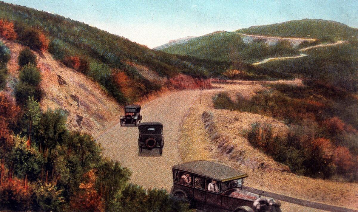
In 1933, the state opened a three-lane road called the “Ridge Route Alternative,” which eliminated some of the curves. This route was eventually designated as California 99, and was expanded to four lanes in the 1950s.
According to a story in The Times, businesses sprouted along the route to serve the traveling public. These included gas stations, diners, hotels and nightclubs that hosted Hollywood stars and gangsters. Clark Gable, Jean Harlow and Bugsy Siegel were among those who visited places such as Sandberg’s Summit Hotel and Kelly’s Halfway Inn, an establishment at the halfway point on the 12-hour drive between Los Angeles and Bakersfield.
The interstate freeway came through in the late 1960s, creating a major economic link between the northern and southern parts of California.
Given the curvy nature of the Ridge Route, it’s not surprising that many think that the curlicues — like the tendrils of a grape plant — inspired the Grapevine name. But it actually arises from the fact that in 1772, the Spanish soldier and explorer Don Pedro Fages found thickets of wild grapevines in a canyon there and named it Cañada de las Uvas, or Grapevine Canyon.
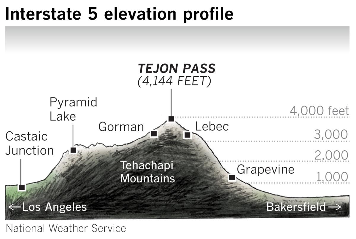
Although the entire route of Interstate 5 from Castaic north to the San Joaquin Valley is frequently called the Grapevine, some say only the few steep miles from Fort Tejon to the bottom of the grade constitutes the Grapevine. On that matter, popular usage seems to be winning out, and the whole 40-mile stretch is usually thought of as the Grapevine.
The arrival of the interstate highway smoothed out and straightened the route since the days of the Ridge Route, but the mountains haven’t quite been conquered. It may not routinely take 12 hours to travel over the Tehachapis, but snow and ice can make the journey treacherous, resulting in closures such as the 36-hour Christmas shutdown that ended Friday morning.
More to Read
Sign up for Essential California
The most important California stories and recommendations in your inbox every morning.
You may occasionally receive promotional content from the Los Angeles Times.
