- Share via
Experts are warning Californians to brace for a ‘very active’ wildfire season this fall as two back-to-back wet winters and forecasts for a warmer-than-normal summer are likely to prime the state’s landscape for fire.
Even as recent blazes triggered evacuations in Los Angeles and Sonoma counties, those incidents may prove to be relatively tame compared with what the rest of the year could have in store, said Daniel Swain, a UCLA climate scientist and extreme weather expert.
“We could in fact see a very active finish to fire season 2024, but we aren’t there yet,” Swain said during a briefing Monday.
Dense vegetation bolstered by record and near-record precipitation over the last two years will steadily dry and cure over a hot summer — a process known as “fuel loading.” Although this drying has begun at lower elevations, this is not the case yet at higher elevations — where some of the worst wildfires in recent history have occurred. These areas are still moist from recent rain and snow, but are likely to grow drier and more flammable toward late summer.
Aggressive and impactful reporting on climate change, the environment, health and science.
“The good news is increasingly in the rear-view mirror,” Swain said. “The bad news is that I think that the back half of this season is going to be much more active — with a lot more concerning level of wildfire activity in a lot of areas — than the first half.”
The “transition point” is likely to occur sometime in July at lower elevations and in August at higher elevations, he said. But fire activity could extend into September, October and possibly even November, with a growing intensity as the season goes on.
(The latest seasonal outlook from the National Oceanic and Atmospheric Administration indicates that warmer-than-normal conditions are in store for California and the vast majority of the country in June, July and August.)
More than 20 wildfires have started since Saturday in California, and they have burned more than 20,000 acres, according to Cal Fire.
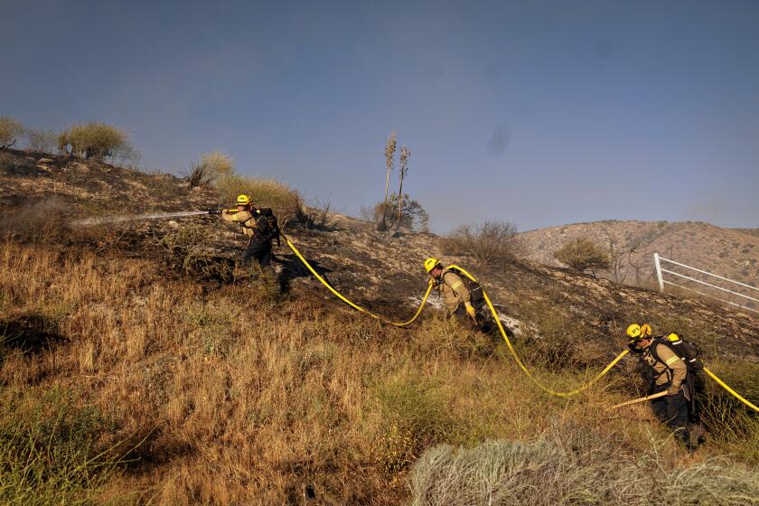
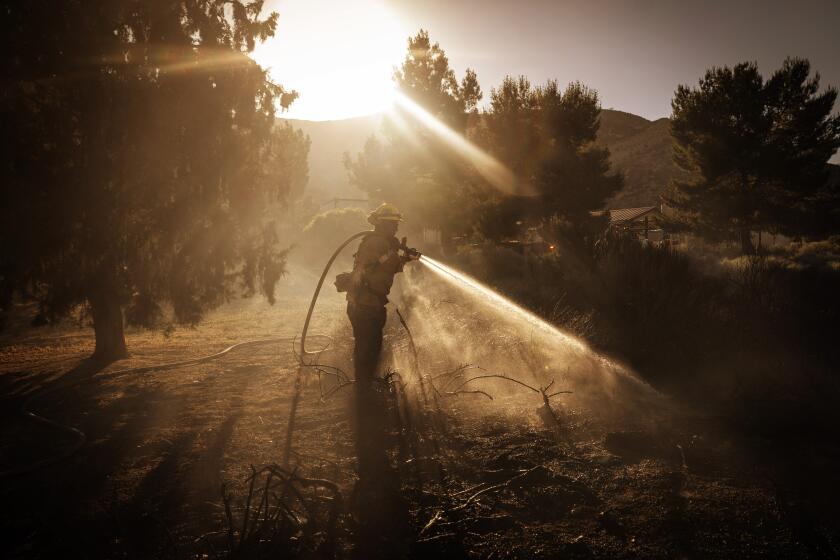
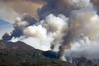
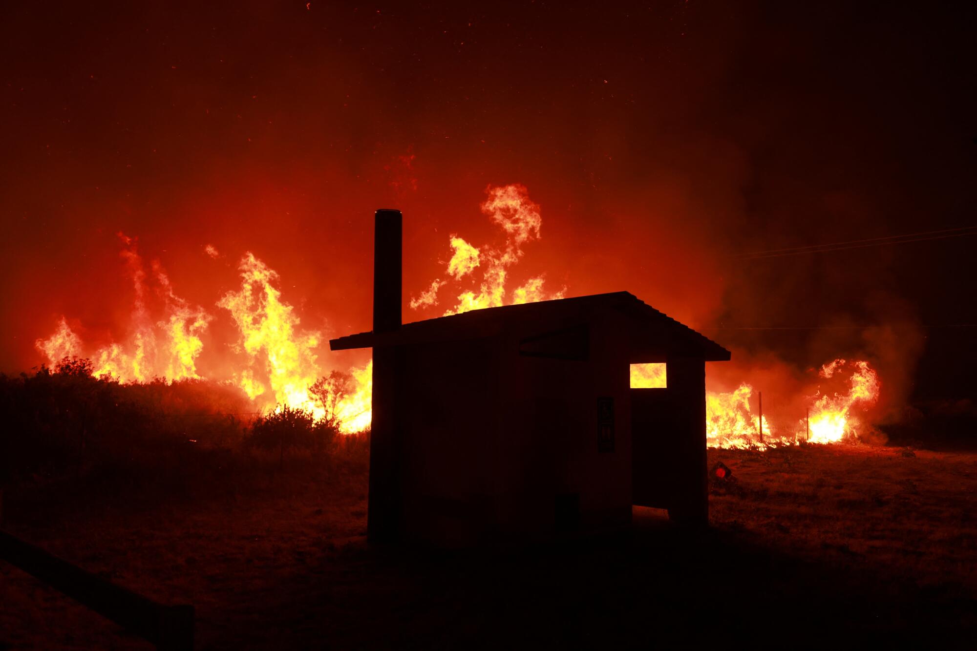
The forecast comes as crews battle more than 15 active blazes across the state, including the 15,000-acre Post fire in Los Angeles and Ventura counties, which was stoked by gusty winds and fueled by drying grasses.
Forecasters with the California Department of Forestry and Fire Protection still anticipate below-normal fire activity along the Southern California coasts and mountains and in the Sierra Nevada in June and July, and near-normal activity in August. That probably will change in September however, as the agency has forecast above-normal fire activity.
“That doesn’t mean there is no chance of a destructive vegetation fire — it just means that the fuel conditions are telling us that that activity is potentially going to be below normal all the way through July,” said Isaac Sanchez, deputy chief of communications at Cal Fire. “When you get to August, things start to kind of crank back up again.”
Crews are preparing for a busy season, he said.
“We have to expect that things are going to be busier than we’re facing right now, and they’re only going to get worse. Really, that’s the only way we can be prepared to aggressively fight fires like this.”
Recently, Southern California fire officials offered a similar prediction.
“The rain produced large fields of green vegetation throughout the area, and this year we saw areas that received nearly 200% more rain than usual,” Los Angeles County Fire Chief Anthony Marrone told reporters Friday. “Unfortunately, this vegetation will soon dry out and become fuel for wildland fires, especially in the Santa Monica Mountains, the Santa Clarita Valley and the Antelope Valley.”
He referenced 2018’s Woolsey fire and 2020’s Bobcat fire as examples of “why we can never let our guard down.” The Woolsey fire killed three people, burned nearly 100,000 acres and destroyed more than 1,600 structures in and around Malibu. The Bobcat fire seared 116,000 acres in and around the Angeles National Forest and nearly torched the Mt. Wilson Observatory.
“This year’s fire season has the potential to be just as devastating,” Marrone said.
But there are other factors at play as well, including the current transition from El Niño to La Niña. La Niña is associated with drier conditions along the West Coast and in Southern California in particular. La Niña was last in place during the state’s three driest years on record, 2020 through 2022, which also saw record acreage burned.
Climate change is also driving warmer global temperatures and a thirstier atmosphere, both of which can extract more water from the landscape and pave the way for hotter and faster fires in the West and other arid areas, Swain said.
In fact, he said the state’s recent cycling between wet and dry conditions is in some ways the worst setup for wildfire activity in a warming world.
Northwestern winds is pushing smoke from the Post fire into the Santa Clarita and Castiac areas, affecting residents’ air quality. Local officials share guidance on how to keep the air inside your home clean during a wildfire.
“You get these periods of extreme fire activity, and then you pause and regrow a lot of that vegetation when it gets wet, and then you burn it all again when it gets dry,” he said.
He noted that he did not make similar predictions for active seasons during the last two years, which were dominated by atmospheric rivers, flooding and heavy snowpack and proved to produce relatively light wildfire activity.
“This is a season where I do expect to see that transition back toward a really active fire regime across much of California and the West — maybe a little bit less so at very high elevations, but everywhere else, we’re going to see greatly increased levels of fire activity this year relative to the past couple of years,” Swain said.
There is a 65% chance that La Niña conditions will develop between July and September. The climate pattern is associated with dry weather in Southern California.

