- Share via
Heavy rain and flooding over the last year have caused roughly $100 million in damage to Los Angeles Department of Water and Power infrastructure and dust control systems in the Owens Valley, according to officials, and that figure is expected to climb as Southern California endures yet another atmospheric river this week.
Although heavy storms have dumped a bounty of rain and snow along the southern Sierra Nevada, enabling Los Angeles to draw millions of gallons of water for its residents, the precipitation has also taken a heavy toll on systems designed to prevent choking dust storms from developing on the dry bed of Owens Lake.
“We’re trying to build resilience into our Owens Valley operations,” said Adam Perez, manager of the Los Angeles Aqueduct. “But large amounts of stormwater in short order causes damage, and we do our best to address that.”
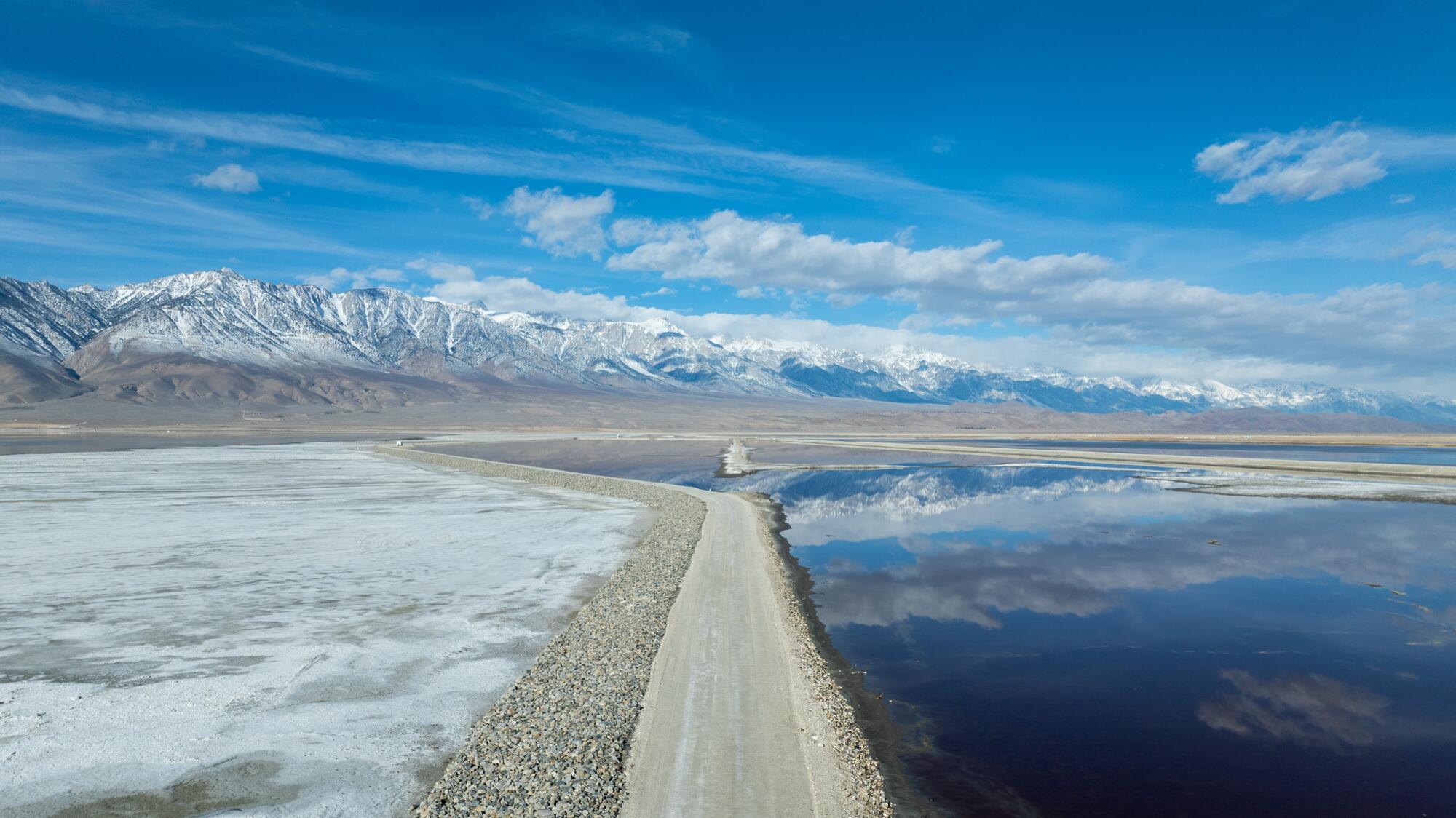
The storm damage includes a major breach of the aqueduct that occurred in March of last year, damage inflicted by Tropical Storm Hilary in August, and the submersion of dust sensors and dust control systems throughout the lake bed.
Aggressive and impactful reporting on climate change, the environment, health and science.
Although damage estimates are still being calculated, a preliminary assessment estimated the costs will be more than $100 million, DWP officials said. The agency has not yet determined how much of that expense will be passed along to its 4 million ratepayers — roughly half of whom live in disadvantaged communities.
Owens Lake evaporated into a brine pool encircled by vast salt flats after its inflows were diverted to Los Angeles in 1913. After the salt flats became a source of unhealthful dust pollution, the city was ordered to control the problem.
Los Angeles County flood control network withstands punishing rains -- for now
The brine pool, which normally contains 5,000 acre-feet of water, has grown to about 50,000 acre-feet due to emergency releases of water created by a series of unusually powerful storms that began early last year. This extra water has submerged and damaged extensive dust control measures.
“Releasing water into the brine pool is not something we do lightly, but our dams are full and creeks are still running high, so it’s something we have to do to comply with the California Division of Safety of Dams requirements,” Perez said.
A recent National Academy of Sciences study puts the region’s increasingly erratic weather patterns in context, with worrisome repercussions for the DWP: “Climate change is anticipated to adversely impact the Owens Valley water supply and therefore dust control efforts, with longer and more severe droughts and more extreme wet years.
“Because of climate-related changes,” it says, “the availability of water for dust mitigation will be more variable, more water will be needed during dry periods to mitigate dust and maintain habitat, and more pressure will be put on the system to support downstream water demands.”
The DWP has spent $2.5 billion to combat the swirling clouds of powder-fine dust kicked up by fearsome wind gusts on the dry lake bed. By introducing vegetation, gravel, tillage and shallow flooding, the department has reduced air pollution by 99% and brought a measure of peace in the rural valley where people have long had bitter feelings toward Los Angeles.
Acrimony has seethed in Owens Valley since the early 1900s, when the city had agents pose as farmers and ranchers to buy land and water rights in the valley, then began building an aqueduct to collect and divert water from Inyo County to the water-craving metropolis about 180 miles to the south.
L.A. diverted so much water via the aqueduct system that it was nearly impossible for local farmers and ranchers to make a living — a scandal dramatized in the classic 1974 film “Chinatown.”
A series of atmospheric rivers in March 2023 severed the aqueduct, chewed through berms, inundated electrical equipment with hypersaline muck and required the removal of an estimated 300,000 cubic yards of debris and silt deposited on spreading grounds by floodwaters diverted from rivers, canals, and reservoirs.
The pinyon pines and juniper trees that fill the high desert, seen by many as an invasive scourge, are drawing interest as a source of renewable energy.
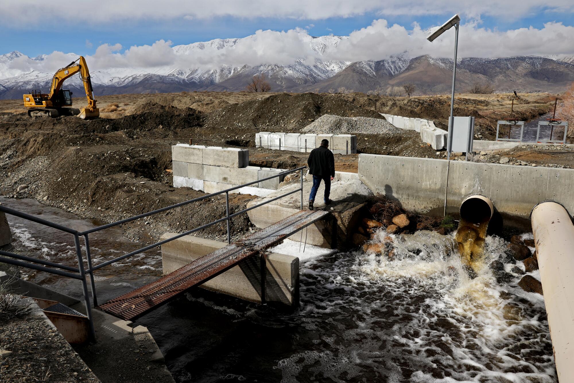
DWP recovery efforts included repairing roads, adding riprap armor to 14 miles of berm slopes, removing critical electrical equipment threatened by corrosive floodwaters, and installing monitoring stations and cameras to track flooding in real time. More than 200 daily personnel working around the clock used 86 excavators and 54 dump trucks to deliver 200,000 tons of rock, bail 300,000 cubic yards of sediment and deploy 15,000 sandbags.
Last year’s record snowmelt also meant managing 1 million acre-feet of water along the aqueduct, which is equivalent to filling about 493,617 Olympic-size swimming pools, officials said.
1
2
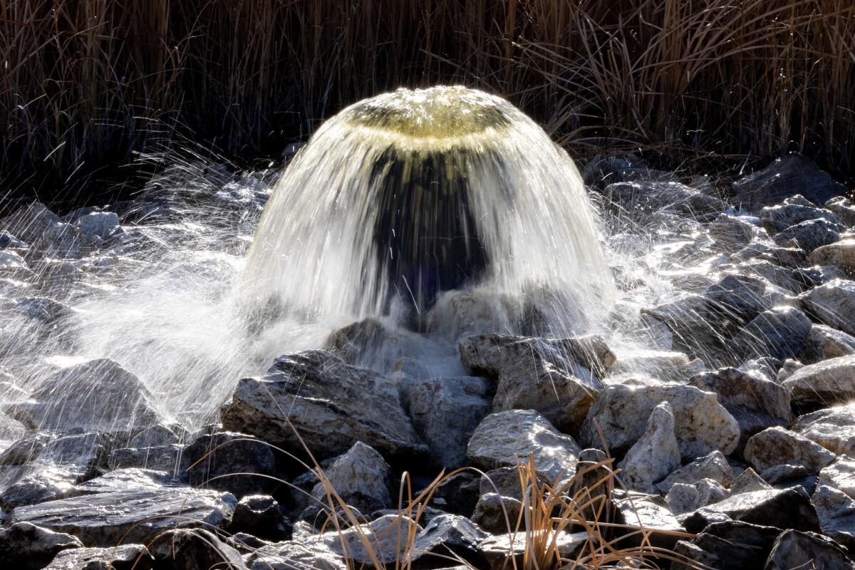
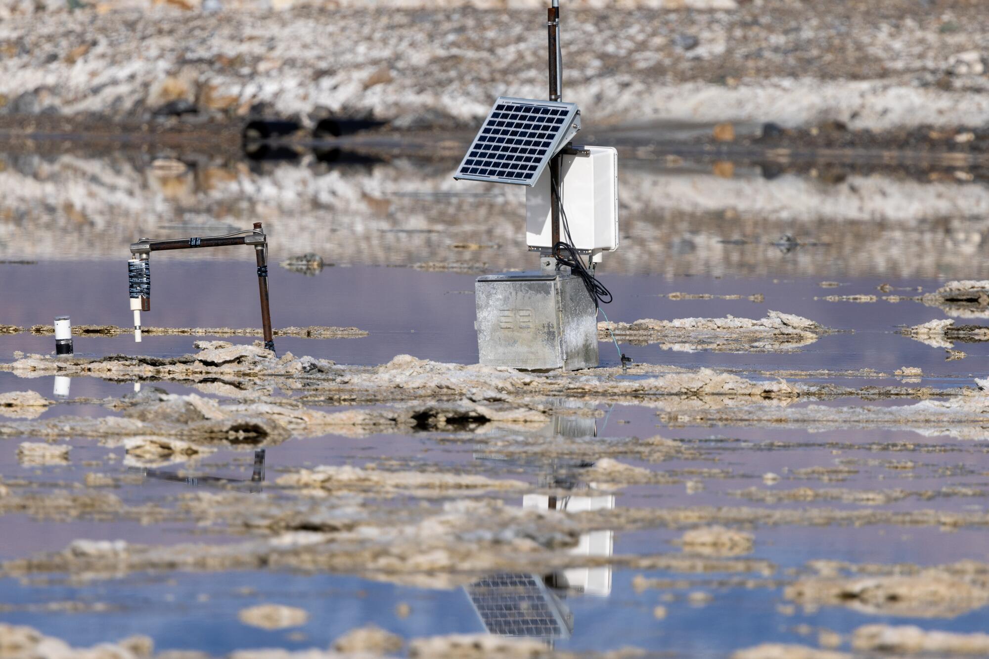
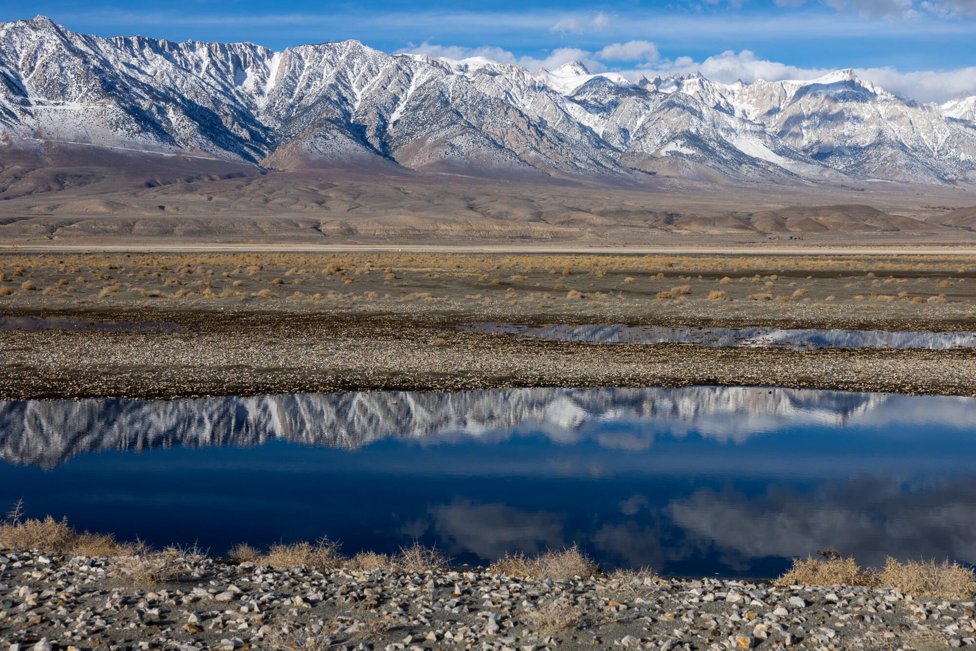
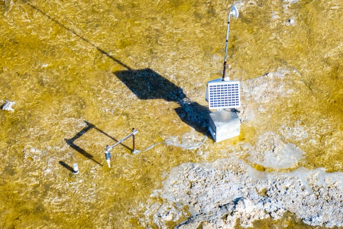
1. Monitoring equipment in a brine pool, part of the Owens Lake dust mitigation program on the dry lake bed. 2. Water flows through an aerator at Owens Lake on Wednesday, Feb. 14, 2024 in Lone Pine, CA. (Brian van der Brug/Los Angeles Times)
Now, a century after the aqueduct tapped its inflows of snowmelt from the Owens River and Cottonwood Creek, those massive storms — and a parade of others that followed — have transformed much of the playa into a vividly unfamiliar inland sea bound by jagged snow-capped Sierra peaks, rust-streaked hills and piles of sharp-edged lava.
“This is the most water I’ve ever seen in Owens Lake,” said David Kruger, 79, a hiking consultant and resident of Lone Pine. “I’ve been directing friends to some of the best places to grab photographs of this rare and impressive vista before it evaporates.”
Gwen Gardner, 96, was only half kidding when he said, “I’m surprised that there aren’t at least a few people cruising around that lake in canoes.”
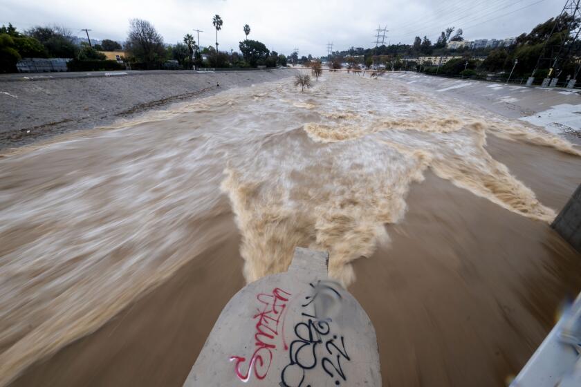
Capturing rainfall is only one part of the L.A. River’s job. It is also a flood control channel that is critical to protecting lives and properties when stormwaters surge.
This part of the eastern Sierra is a landscape that changes fast due to climate change and Los Angeles politics. “The evaporation rate of the brine pool is about 6 feet per year,” Perez said. “So most of it will be gone by late fall.”
The forecast for Owens Valley runoff in 2023-24 is calling for 955,600 acre-feet of water, or 233% of normal, officials said. The DWP plans to export about 395,000 acre-feet of that water, and the rest will be used in Owens Valley for municipal and irrigation purposes, and dust mitigation on the lake bed. An acre-foot of water is enough water to supply two or three homes for a year.
The abundance of stormwater and snowmelt has energized campaigns led by conservation groups, tribal leaders and air regulators to stop Los Angeles from diverting water from the eastern Sierra watershed.
When Jaime Lopez-Wolters, desert lands organizer for the nonprofit Friends of the Inyo, wants to introduce people to the problem, he takes them to a bluff overlooking a serene landscape born of seismic upheavals, sudden storms and flows of frigid snowmelt that Cottonwood Creek had emptied into Owens Lake for thousands of years.
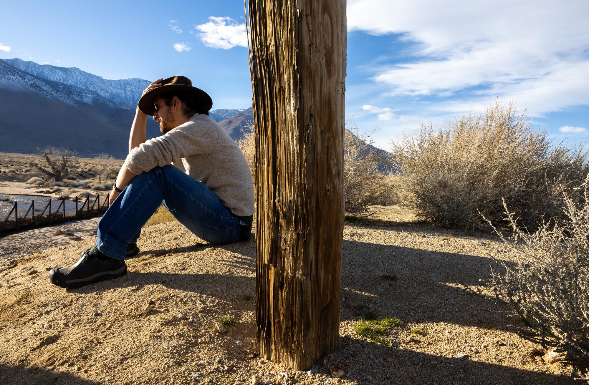
“This stretch of the river is usually bone-dry because its water is diverted into the aqueduct,” he said. “Right now, however, DWP is using the riverbed as an escape valve for stormwater in the system.”
“Our question for Los Angeles is this,” he added. “At what point does it become more expensive to keep pumping this water to L.A. than to leave it here to do the work it had been doing since time immemorial?”
Modifying the amount of water diverted to Los Angeles and allowing Owens Lake to refill and reach a steady state falls outside the DWP’s charge, which is focused on balancing the costs of maintaining its aging aqueduct and dust control projects amid damaging winter storms against the financial burden passed on to its ratepayers.

