Ian James is a reporter who focuses on water and climate change in California and the West. Before joining the Los Angeles Times in 2021, he was an environment reporter at the Arizona Republic and the Desert Sun. He previously worked for the Associated Press as a correspondent in the Caribbean and as bureau chief in Venezuela. Follow him on Bluesky @ianjames.bsky.social and on X @ByIanJames.
- Share via
1
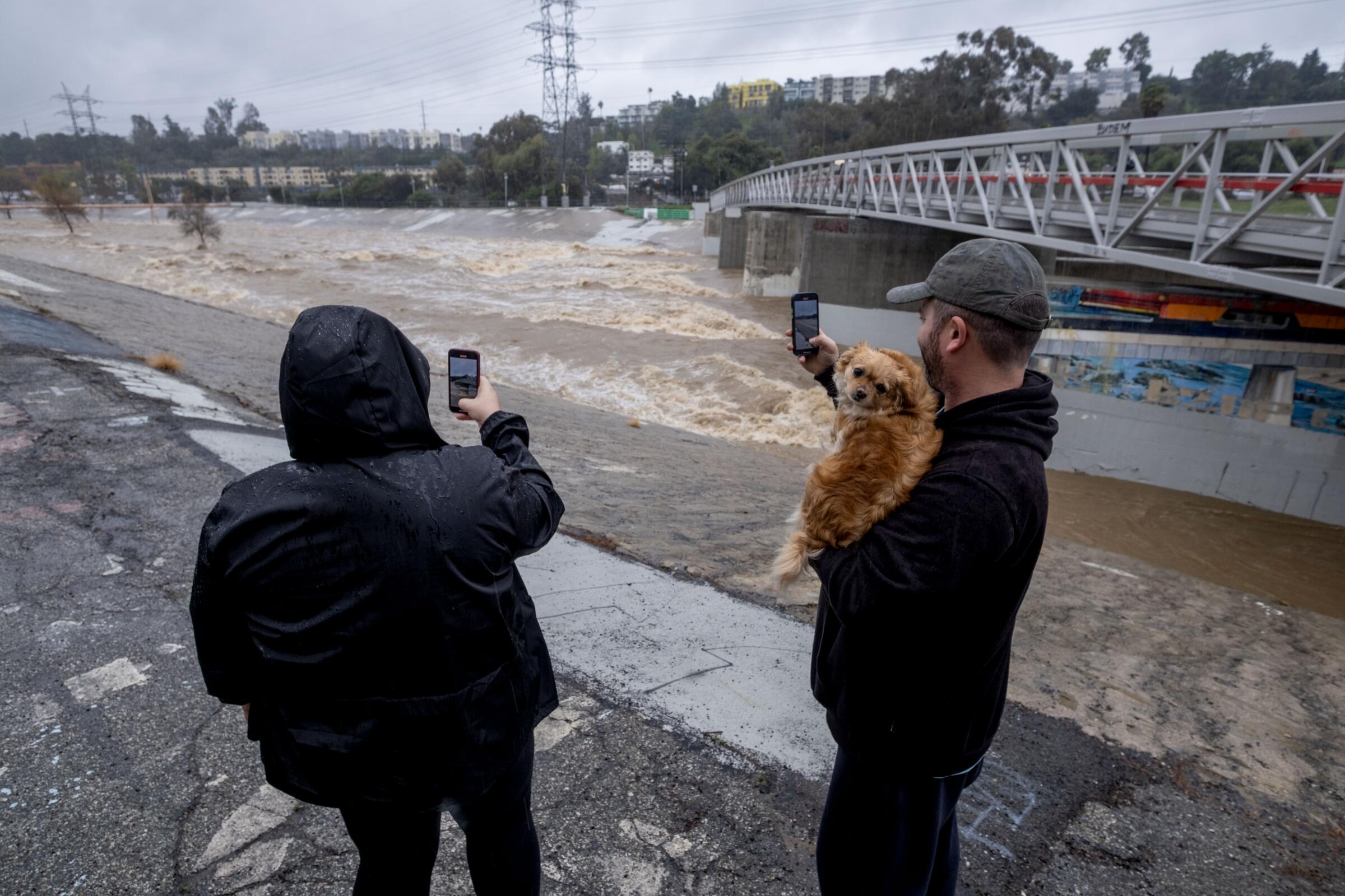
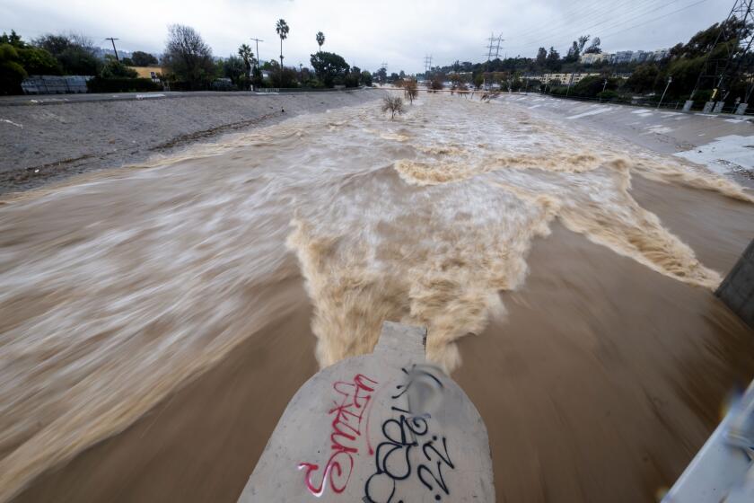
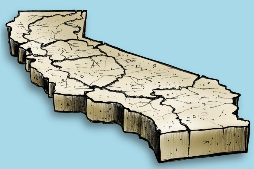
For as long as weather records have been kept, California has been defined by its highly variable climate, with dramatic and sometimes volatile swings between droughts and floods. As human-caused climate change heats up the planet, the state faces even more intense extremes, with increasingly frequent and severe droughts punctuated by stronger and wetter storms.
The disruption of the Earth’s climate is upending the water cycle, influencing weather patterns and affecting the storms that bring rain and snow to the western United States. As rising temperatures, driven by fossil fuel-burning and accumulating greenhouse gases, continue to heat the atmosphere and oceans, the storms that build over the Pacific and reach California are projected to change in ways that will have major implications for generations to come.
Here’s a look at how humanity’s heating of the planet affects California’s storms, and what scientists say about these shifts and what they will mean.
2
Wetter, more intense storms
Scientists have long known that as the atmosphere gets warmer, the air is able to hold more moisture. With higher temperatures, the humidity in a storm can increase to a greater degree before that water vapor condenses into rain.
“In general, this allows the most intense downpours to get more intense, because there can be a greater amount of water vapor in the air,” UCLA atmospheric scientist Karen McKinnon said. “However, it’s not yet clear if we are seeing this signal in the Western U.S. and California, although we do expect to see it in the future.”
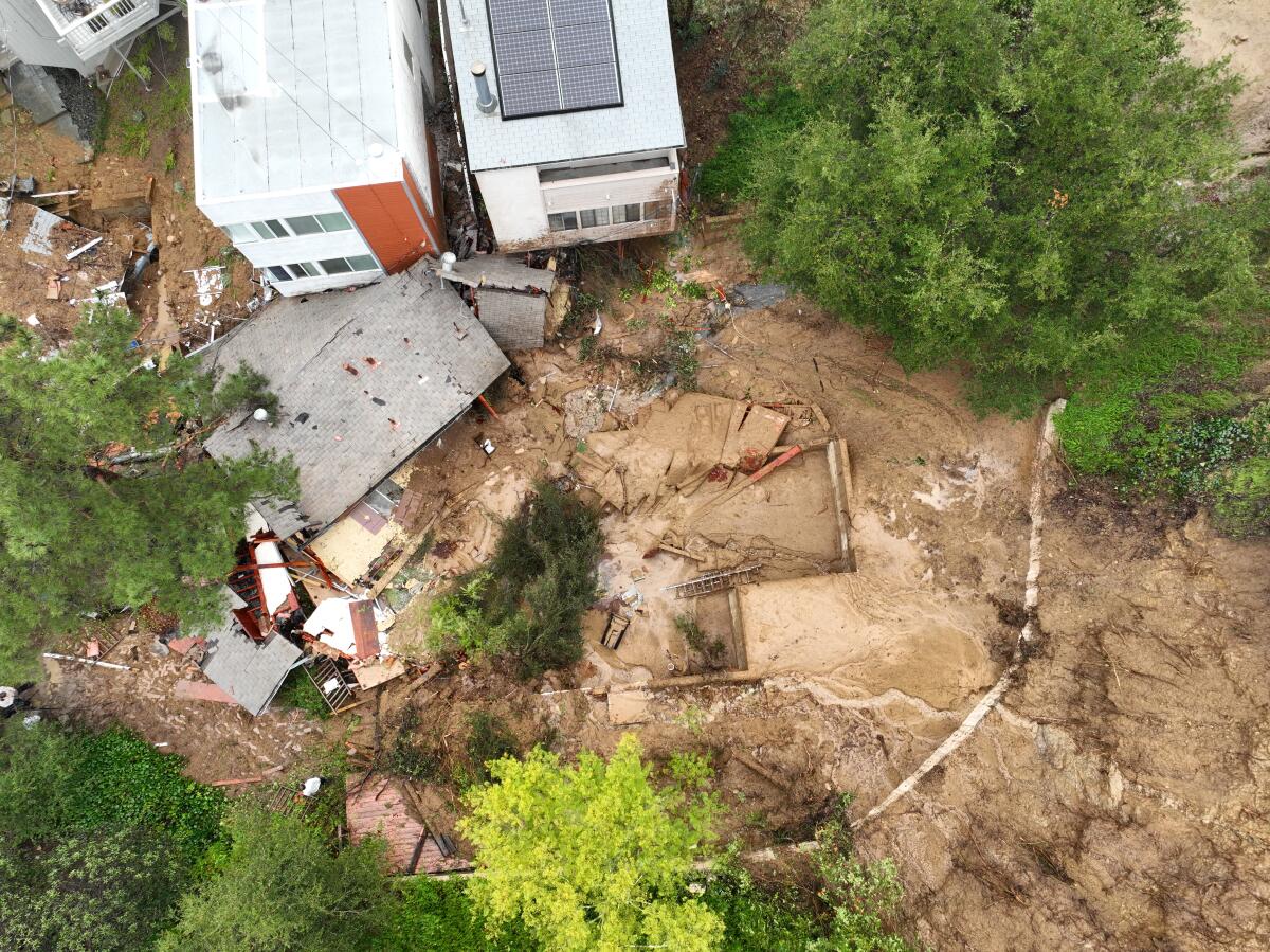
An aerial view of a Beverly Crest home that was pushed off its foundation by a mudslide caused by heavy rainfall in Los Angeles.
(Allen J. Schaben / Los Angeles Times)
Much of the precipitation in California and the West comes from major storms called atmospheric rivers that sweep in from the Pacific. Scientists have projected that atmospheric rivers will grow more potent as temperatures continue to rise, and will become an even more dominant driver of California’s water supplies and flooding.
Based on well-established principles of thermodynamics, scientists say, when the atmosphere grows 1 degree warmer, the air’s water-holding capacity increases by up to 3.9%. And with the increase in global average temperatures now more than 2 degrees over preindustrial times, research has shown that the increase in water vapor is leading to more extreme downpours in many parts of the world.
Aggressive and impactful reporting on climate change, the environment, health and science.
As the climate warms, the atmospheric rivers that churn toward California over warmer ocean waters are projected to carry more water vapor, leading to more intense precipitation. (Using simulations, researchers have estimated that a storm like the powerful 2017 atmospheric river that damaged Oroville Dam and triggered the emergency evacuation of 188,000 people could bring about 11% more precipitation because of the warming that has occurred so far.)
“We expect less frequent but more intense precipitation,” said Alexander Gershunov, a research meteorologist at the Scripps Institution of Oceanography at UC San Diego. “Climate models clearly project an intensification of rain, especially from atmospheric rivers, in the future. … And that’s a very high confidence expectation for a warmer future. However, we have not observed that trend yet.”
Gershunov said he and other scientists are unsure why the available observational data don’t yet show an increase in the intensity of atmospheric rivers on the West Coast, and it’s a question they plan to research further.
Even though they haven’t yet seen an intensification of precipitation in the data, Gershunov said that eventually, as warming continues, “we expect the trend to emerge.”
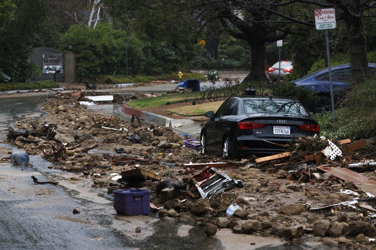
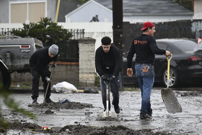
Debris lines the street in front of nine homes that were evacuated due to a landslide from heavy rainfall during the atmospheric river hitting in Studio City.
(Carlin Stiehl / For The Times)
Another active area of research involves estimating how much the severity of a certain extreme weather event, such as a record storm, is attributable to higher temperatures caused by climate change. And how severe the climate-driven intensification becomes is expected to depend on how much more greenhouse gases humans pump into the atmosphere.
Climate scientists note that the rapid rise in global temperatures is now an ever-present factor influencing weather around the world.
“Definitely climate change has made every single weather event different from how it used to be, a little bit,” said Alex Hall, a UCLA climate scientist.
Los Angeles County flood control network withstands punishing rains -- for now
Hall and his colleagues have studied how atmospheric rivers will likely become more extreme with climate change.
Based on the warming that has occurred so far, Hall said, big rain events are generally heavier, “probably somewhere around 10% juicier” than in the past.
“Wherever there is precipitation, it’s probably getting juiced a little bit by the air being warmer and holding more moisture,” Hall said. “And as the climate continues to warm and as warming probably accelerates, the signal will become larger.”
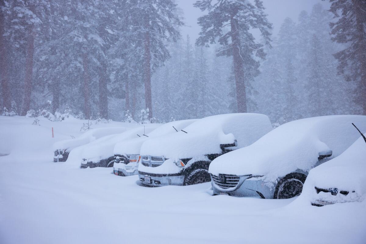
(Peter Morning / Mammoth Mountain)
3
More rain, less snow in the mountains
Snow in the Sierra Nevada has traditionally stored a substantial portion of California’s water, enabling the snowmelt to flow dependably in the spring and summer. But scientists have documented how average mountain snowlines have been retreating higher over the last few decades because of warming, and have projected that much more of the snowpack will be lost as temperatures continue to rise.
On average, more precipitation has been falling as rain rather than snow. And where snow remains, warmer temperatures are leading to earlier and quicker melting, as well as more rain-on-snow events.
These changes are altering the timing of runoff and creating the conditions for more intense deluges streaming from the mountains.
“You end up with less snow confined to higher elevations,” Gershunov said. “Below the snowline, it’s rain, and so that runs off.”
This can lead to big runoff events in winter, creating challenges for water management, in part because the state’s reservoirs were largely designed to capture snowmelt.
As scientists describe it, climate change is increasing the “rainfall over snow ratio.”
“Higher rain over snow ratio, faster snowmelt, and more intense storms can significantly impact water resource management in California,” said Amir AghaKouchak, a UC Irvine professor of civil and environmental engineering. “A shift toward more intense rain, as opposed to snow, will strain an already water-challenged environment to its limit.”
The latest maps and charts on the California drought, including water usage, conservation and reservoir levels.
AghaKouchak has studied how the snowpack is projected to be affected under different levels of warming. He has also researched how climate change increases the risks of compound events and “cascading hazards.”
For example, as the snowpack shrinks and melts faster, vegetation is left drier in traditionally snow-covered areas, contributing to wildfires at higher elevations. AghaKouchak’s research has found that wildfires have been occurring at higher elevations in recent decades.
Severe wildfires then leave burned areas in the mountains, which during heavy rainfall can trigger flooding and destructive flows of sediment and debris.
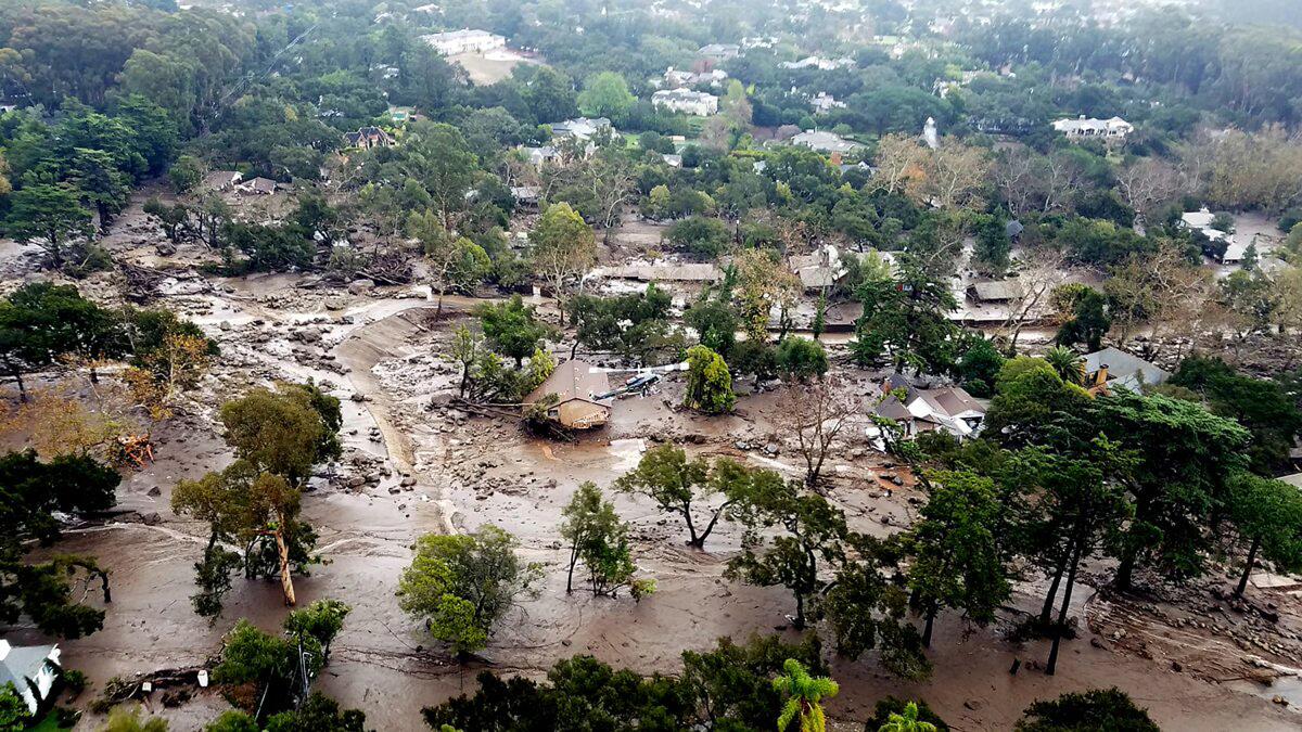
A January 2018 photo of homes damaged by mudflows in Montecito, Calif.
(Matt Udkow / Santa Barbara County Fire Department)
In a 2020 study, AghaKouchak and other scientists also pointed to an example of cascading hazards: the disaster in 2018 in Montecito, where an extreme downpour triggered debris flows that killed 23 people and destroyed 130 homes.
“As the world continues to warm, climate hazards are expected to increase in frequency and intensity,” the scientists wrote. “Chains of cascading events can interact with the primary event or events, which can create feedbacks that are difficult to model.”
And with more intense storms and extreme runoff, experts say California must prepare for mounting flood risks.
4
Risks of devastating floods with more intense storms
Even as California deals with hotter, more intense droughts, the state faces worsening flood risks from increasingly extreme deluges. Factors driving the risks include changing precipitation patterns, aging infrastructure and development that has expanded in low-lying areas, including in natural floodplains along rivers and creeks.
Experts say the state’s flood control infrastructure, from levees to dams, urgently needs to be updated, and that flood management practices need to be rethought.
“My main concern is that our infrastructure systems are aging, and many are not in good condition,” AghaKouchak said, noting that the U.S. Army Corps of Engineers’ national inventory of dams indicates that California has many dams classified as “high hazard.”
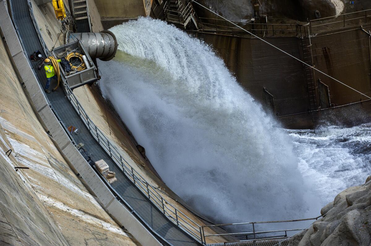
A January 2023 photo shows water being released from the Santa Anita Dam, in Sierra Madre.
(Mel Melcon / Los Angeles Times)
Most of the state’s existing flood-control infrastructure was designed decades ago based on the climate of the past, AghaKouchak said, and much of it is no longer adequate.
“The infrastructure that by and large we have today, it really wasn’t built for 21st century conditions. It was built during the 20th century, during a time when the extremes were less extreme,” said Edith de Guzman, a cooperative extension researcher at UCLA who focuses on water equity and adaptation policy. “We need to catch up with the changes and unfortunately, our flood management isn’t changing as quickly as our flood risk is changing.”
From the sky, scientists are dropping devices with parachutes to peer into powerful atmospheric river storms, giving California advance warning.
Research examining flood risks nationally has found that communities behind levees are disproportionately poorer and people of color.
In a 2022 study, researchers at UC Irvine found that in the Los Angeles Basin, nearly 1 million people live in areas that could be threatened in a 100-year flood, and that Black and low-income communities are especially vulnerable.
In many parts of California, experts say, low-income communities also face higher risks of flooding due to a lack of investments in flood-control infrastructure.
“There are these lingering unmet needs for flood infrastructure in those communities,” de Guzman said.
At the same time, scientists have found that climate change is dramatically increasing the risk of a catastrophic megaflood in California, projecting that by the latter part of the century an extreme series of storms could bring two to four times more runoff in the Sierra Nevada.
What can Californians do to be better prepared for torrential rain, winds and floods? Manage water for tomorrow’s climate, not yesterday’s.
Researchers have also said that flood damages from warmer atmospheric rivers could triple in western states by the end of the century, but that efforts to curb greenhouse gas emissions could significantly reduce the damages.
The historic series of atmospheric rivers in 2023 showed how vulnerable parts of the state are, as floodwaters inundated low-lying communities in the Central Valley and other areas after levees breached.
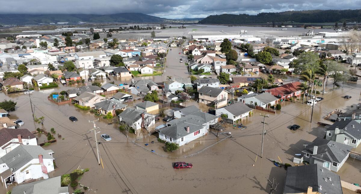
A March 2023 photo shows vehicles and homes engulfed by floodwaters in Pajaro after an atmospheric river.
(Josh Edelson / AFP via Getty Images)
The extremely wet year followed the state’s driest three-year period on record — the sort of abrupt swing that experts and state officials say represents the more extreme “climate whiplash” California must prepare for.
5
Rethinking water management to adapt
The terms “weather whiplash” and “climate whiplash” are often used to describe the sudden shifts between dry and wet that California and other parts of the world are witnessing, and that are projected to become extreme as the climate heats up. Research has shown that warming is intensifying the water cycle, and scientists say this will exacerbate the already volatile swings in California’s hydroclimate.
Researchers say these profound changes demand an extensive rethinking of how California and other western states manage water, requiring investments in infrastructure to protect communities and capture stormwater, as well as new approaches that work with nature to better withstand droughts and floods.
That includes restoring natural floodplains where possible in cities and farming areas, providing outlets where floodwaters can spread out and seep into the ground to replenish aquifers.
“We need to be able to capture more when it’s wet to reduce the flood risk. But also that helps us to carry on when it’s dry,” de Guzman said.
In parts of California’s Central Valley, farmlands are being used to soak up storm water and replenish depleted groundwater.
She said more capacity to capture and store water is vital to adapt to those dramatic swings, and groundwater basins that have been depleted by pumping offer plenty of storage space to complement engineered reservoirs. De Guzman said the state needs a combination of large flood-control projects and nature-based solutions, including “punching holes” in some paved areas of cities to create room for capturing stormwater.
“We now know that having opportunities to slowly spread and sink the water is part of the solution. And it could be smaller scale, but that does add up,” de Guzman said.
Hall agrees. He says with California’s “feast-or-famine” hydrology growing more intense, the state needs the equivalent of a larger “savings account,” and smarter ways of banking water — such as making room for seasonal flooding among Central Valley farmlands to replenish groundwater.
“It adds to our savings,” Hall said. “We should re-embrace the natural system as much as we can.”
As global warming brings more intense storms, adapting will be costly. The state’s current flood protection plan for the Central Valley warns that catastrophic flooding would put many areas underwater, threatening millions of residents. The plan calls for $25 billion to $30 billion in investments over the next 30 years, outlining recommendations that include strengthening levees and restoring natural floodplains.
For scientists, there are still many unknowns about how storms and flood risks will evolve as temperatures rise. De Guzman said the intensifying extremes will also test how swiftly the state and the region can adapt.
“How quickly can infrastructure be built to mitigate the worst impacts?” she said. “That’s an unknown.”
