- Share via
Still reeling from last year’s onslaught of winter wind and rain, communities along the California coast are bracing for a one-two punch of hefty storms that began to move onshore Wednesday and could bring turbulent weather across the state through at least early next week.
Federal, county and municipal officials began responding Wednesday to some early flooding, road closures and power outages from the first strong atmospheric river system, following Gov. Gavin Newsom’s move Tuesday to activate California’s Emergency Operations Center. State officials warned that the back-to-back storms may be only the beginning of a strong, wet weather pattern that could linger for up to two weeks.
“This is a longer-duration event,” Brian Ferguson, a spokesman for the state’s Office of Emergency Services, said at a news conference Wednesday morning. “It’s not just the localized impacts, but the duration of the impacts and the wide geographic distribution of the challenges. ... We want to be early and proactive on our emergency response efforts.”
Fire crews, swift water rescue teams and other first responders have moved into place throughout the state in preparation of the storms, and supplies such as sandbags and snowplows are being distributed, Ferguson said.
A major atmospheric river storm is bringing heavy rain, strong wind and significant snowfall across California.
“The state is working around the clock with our local partners to deploy life-saving equipment and resources statewide,” Newsom said. “With more storms on the horizon, we’ll continue to mobilize every available resource to protect Californians.”
The first storm was expected to wallop the northern part of the state beginning Wednesday, with the National Weather Service issuing multiple flood advisories, winter storm and high wind warnings across the state through at least Friday. The second one, forecast to arrive late Sunday, is anticipated to hit harder in the south, potentially wreaking havoc in Southern California.
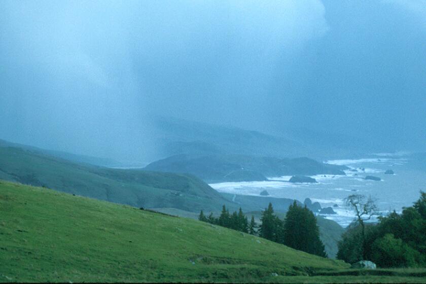
Along the North Coast from Klamath to Fort Bragg early Wednesday, officials reported widespread urban and small stream flooding, with an additional inch or 2 of rain expected to fall. In the Bay Area, wind gusts had been recorded above 60 mph, reaching as high as 70 mph at one location in Marin, according to the weather service.
Officials continue to predict further power outages through the night and into Thursday. Ferguson said state officials are working with utilities to get crews dispatched quickly when power goes down.
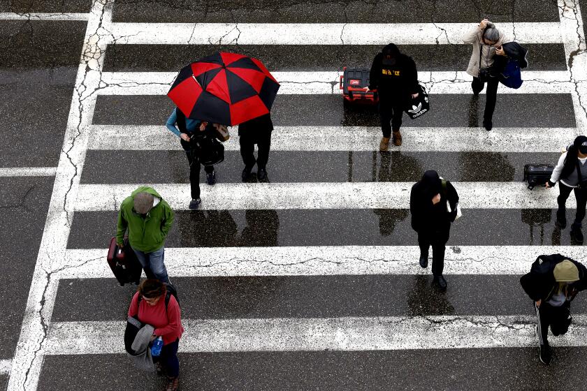
“Much if not the entire portion of the state is expecting measurable rainfall as we head through today and tomorrow,” Robert Hart, a National Weather Service meteorologist, said Wednesday. Northern and Central California can generally expect 2 to 5 inches, with up to 6 inches locally, he said.
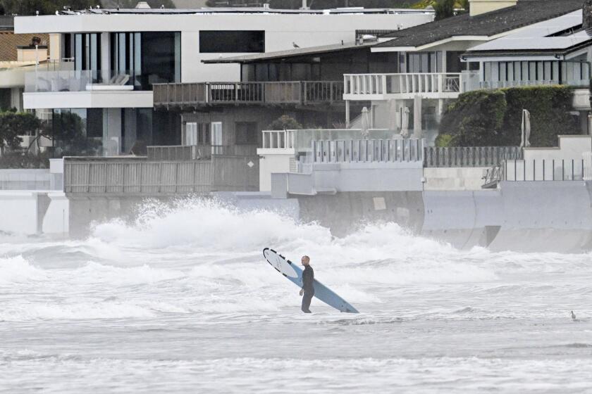
As the storm moves south Thursday, Southern California can expect on average 1 to 3 inches of rain, but up to 5 inches locally, Hart said.
A major atmospheric river storm is bringing heavy rain, strong wind and significant snowfall across California.
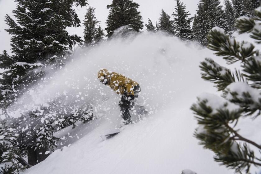
The second storm system, aimed with a particular ferocity toward Southern California, is “the one we’re more concerned about,” Ferguson said. It is warmer — allowing it to pack more water — and is expected to move slower, which can leave particular regions inundated. Santa Barbara, Los Angeles, Ventura and San Diego could be in for massive amounts of rain. The mountains east of Los Angeles could face heavy snow.
“Storm No. 1 will be significant and is notable, but won’t bring extreme impacts anywhere,” said UCLA climate scientist Daniel Swain in a Tuesday briefing. But he said his eyes are on that still-developing second storm, which “has a higher potential to produce some major and significant either wind- and/or flood-related impacts,” with flooding concentrated in Southern California.
Atmospheric rivers are descending on Southern California. Here’s how to prepare and stay safe before and during the storms, heavy rain and potential flooding.
Ferguson added that the dangerous flooding that devastated communities such as Pajaro and Planada in last winter’s atmospheric rivers — and killed dozens across the state — was less of a concern this time around. But many of the levees that crisscross the state are aging, privately maintained and something of an unknown to officials.
“That is always a challenge,” he said. “We don’t know which levees have ground squirrels in them, which farmer put a pipe [in somewhere]. Unknowns are the things that are hardest to solve for.”
He added that officials are also confronting “tons of misinformation and bad information” about the weather on social media. Contrary to one rumor flying around cyberspace, this is not a megaflood or “ARkStorm” scenario, he said, though he still urged residents to take it seriously and prepare.
The storm expected to hit California this week will bring significant rainfall, which could cause minor flooding across the state.
Jim Shivers, a spokesman for Caltrans District 5 — which covers the Central Coast — said they’re keeping an eye on Paul’s Slide, a two-mile stretch of Highway 1 south of Big Sur that was knocked out by a landslide last year. It’s been closed ever since and remains under repair.
Worker safety is the biggest concern, he said, and the agency will pull all construction workers from the site until the storm has passed.
In Monterey and Santa Cruz counties, officials said there are no signs these storms will cause flooding in the Pajaro River — where a levee breached last year, flooding the community of Pajaro — but said those areas will be monitored closely.
Mark Strudley, executive director at Pajaro Regional Flood Management Agency, said the 400-foot area that breached last year “and caused all the grief ... was repaired using modern engineering standards [and] is actually better built than the older levees to either side of it.”
Because of that and “a bunch of other work that the counties did in preparation for this winter, we are going into this winter in a better position than we went in last year,” he said. However, despite those efforts, “it is still an old, decrepit levee system. So you can make your best efforts, but if Mother Nature gets too angry at us, you know ... they’re still vulnerable.”
In Mendocino County, though, the Navarro and Russian rivers are forecast to reach flood stage by early Thursday, according to the California Nevada River Forecast Center, and waters at many points along the Sacramento Valley rivershed could also rise dangerously high.
In Navarro, where the Navarro River was forecast to overflow, the National Weather Service said flooding of Highway 128 just east of Highway 1 “is certain and the road will be closed.” In Hopland, the Russian River was expected to cause significant flooding on Highway 175 near the Russian River bridge, as well as minor flooding on Highway 222 near Ukiah and surrounding cropland, the weather service warned.
Later Thursday, the San Diego River at Fashion Valley is expected to again overflow its banks, according to the forecast center, as occurred last week during historic rains that caused widespread urban flooding and some devastating flash floods in the area.
“We don’t expect a repeat of Jan. 22 [flash flooding] on Thursday,” Alex Tardy, a meteorologist with the weather service in San Diego, said Wednesday, adding, “That said, new and additional flooding is possible.”
Much of San Diego and Orange counties, as well as parts of Riverside and San Bernardino counties, have a flood advisory out for Thursday, when the first storm will have moved south and east. But Tardy pointed out that besides San Diego, much of Southern California has received below average rainfall this year.
“In general, this is a beneficial rain,” he said. “We need this rain, we need the snow too.”
In Los Angeles, officials are less concerned about the first storm — though some minor flooding is likely — but worries are mounting about the second system. County and city officials opened additional shelter options through at least Tuesday, offering motel vouchers during the coming storms for anyone living on the street.
“There’s growing confidence that we’re going to see many hours of steady, moderate-to-heavy rain,” Ryan Kittell, a meteorologist with the National Weather Service in Oxnard, said of the next storm, which could hit the region as early as Sunday.
Two ‘thousand-year events’ pummeled San Diego and Ventura. Officials say El Niño, climate change and seasonal patterns make similar storms more likely.
Unlike last year, when many officials initially brushed off concerns about incoming storms, everyone is on high alert and urging residents to be cautious.
“We started sending messaging to likely impacted neighborhoods last night and are resupplying sand for sandbags throughout the county,” said Jason Hoppin, a spokesman for Santa Cruz County.
“If you have experienced flooding on your property in the past, we urge you to TAKE PROTECTIVE MEASURES TODAY,” he wrote in a countywide alert.


