Major atmospheric river storm slams into Southern California

- Share via
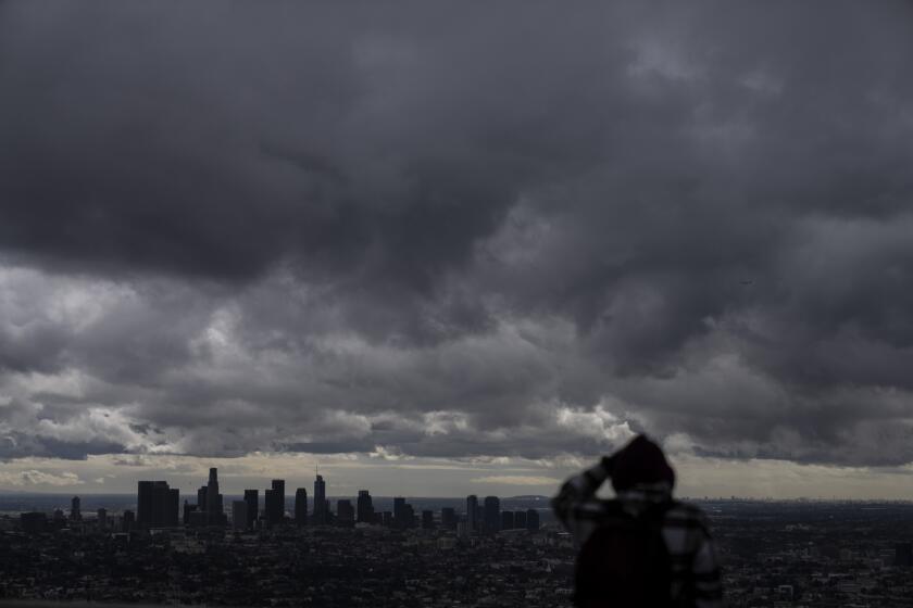
A major atmospheric river storm slammed into Southern California on Thursday after hitting Northern California hard the previous day.
Statewide, officials are bracing for power outages, dangerous travel and potential widespread flooding.

The system is the first of back-to-back storms that forecasters say could cause perilous conditions through next week, depending on the severity, strength and speed of the storm systems.
Here’s the latest on when Californians can expect to see the storm’s impact:
Thursday morning
Showers will continue across Northern California, but the storm’s strength will turn toward at Southern California and the Central Valley.
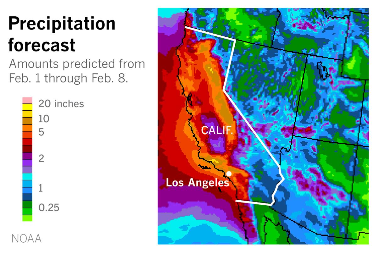
The heaviest rain in Los Angeles and Ventura counties is expected Thursday, with 1 to 3 inches in most areas. There is also the possibility of sporadically heavy rainfall rates that could cause minor flooding. Currently, no flood advisories have been issued for the region, but forecasts all but promise a slow morning commute.
Hurricane Hilary is moving toward Southern California. Here’s how to prepare and stay safe before and during the storm, heavy rain and potential flooding.
However, a winter storm warning will be in effect beginning early Thursday for the Los Angeles, Riverside and San Bernardino county mountains, including the San Gabriels, where the highest elevations could get up to 2 feet of snow. A dusting to a few inches of snow are possible as low as 4,500 feet, and forecasters are warning that “travel may be difficult to impossible” in the mountains, including along the 5 Freeway corridor.
High surf could bring waves of up to 8, 10 and 12 feet along Ventura, Los Angeles, Orange and San Diego county beaches, and rip currents will make any ocean activities dangerous, the weather service warned.
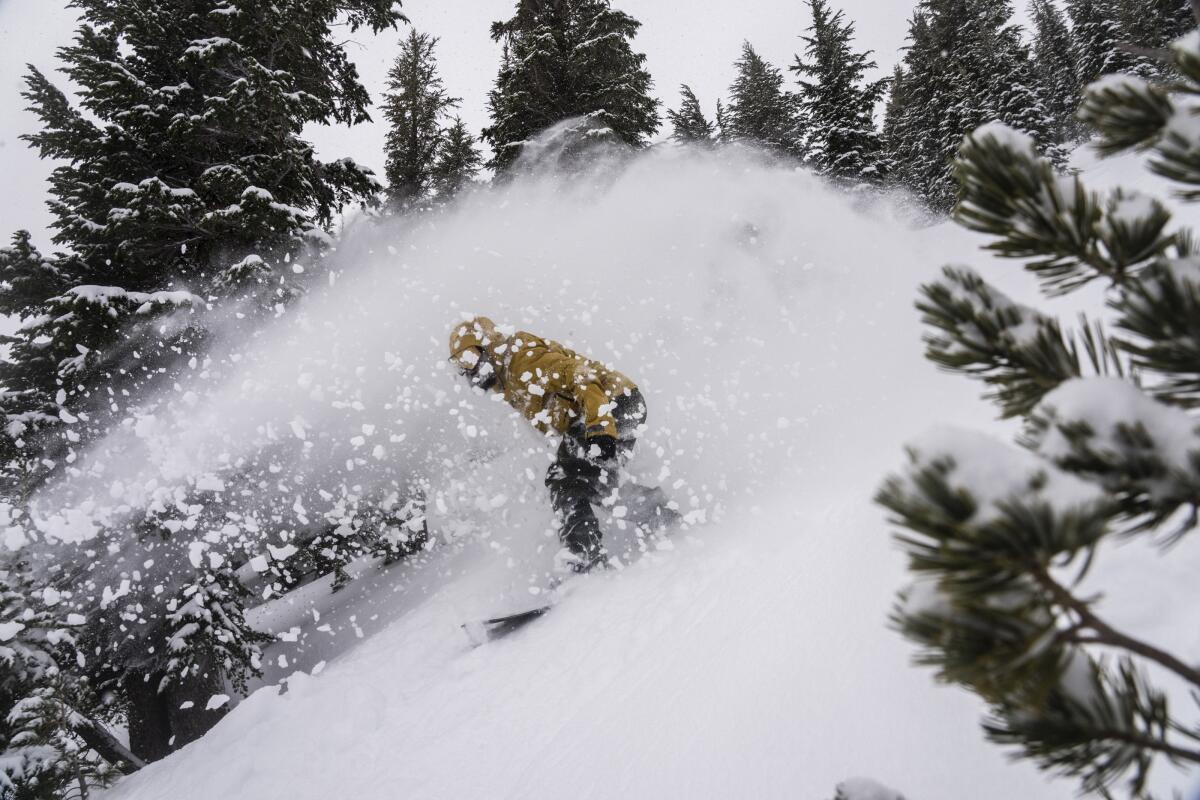
The southern Sierra expects heavy snowfall beginning late Wednesday through Thursday — getting 1 to 4 feet, depending on elevation — but heavy rain in the foothills could cause flooding and mudslides, the National Weather Service warned.
Farther south and east, across much of Orange, San Diego, Riverside and San Bernardino counties, a flood watch will go into effect Thursday morning and run through Friday. With a slight chance for thunderstorms all day Thursday, forecasters warn that “excessive runoff may result in flooding of rivers, creeks, streams, and other low-lying and flood-prone locations.”
Thursday night
Showers and bands of heavy rain will continue across southwest California, from the coast to the mountains.
The San Diego River at Fashion Valley is likely to flood by late Thursday, according to the California Nevada River Forecast Center.
Forecasters say snow levels will begin to drop Thursday night to about 4,500 to 5,000 feet, though heavy snow is not expected in those areas.
Friday
Much of the wind, flood and winter storm advisories will expire Friday, though lingering showers will remain in both Northern and Southern California.
Dangerous surf conditions will remain a threat along Southern California beaches through early Sunday.
Fire crews, swift water rescue teams and other first responders have been moving into place throughout the state in preparation for the storms.
Saturday, Sunday and beyond
Saturday is expected to be a bit of a reprieve from precipitation — but officials say it won’t last long.
A second strong storm, more focused on Southern California, is expected to bring more rain, wind and snow as early as Sunday.
“The potential is growing for a very significant storm,” said Ryan Kittell, a meteorologist with the National Weather Service in Oxnard. “There’s growing confidence that we’re going to see many hours of steady, moderate-to-heavy rain.”
More to Read
Sign up for Essential California
The most important California stories and recommendations in your inbox every morning.
You may occasionally receive promotional content from the Los Angeles Times.


