- Share via
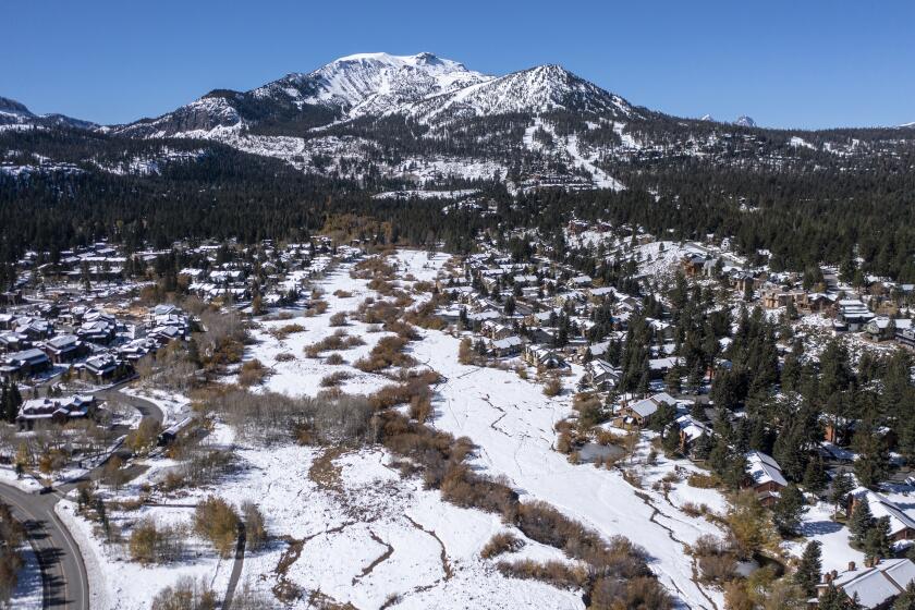
Although recent storms have thrashed the California coastline and boosted reservoir levels, the downpours have so far failed to deposit significant snowpack in the Sierra Nevada, which experts say is in the grips of a severe, early season “snow drought.”
December’s powerful storms delivered super-sized waves and record-setting rainfall in California, but most of it fell in coastal areas, and almost none in the interior part of the state that is home to the Sierra, said Daniel Swain, a climate scientist with UCLA.
“In some cases there is literally no measurable snow on the ground at all,” Swain said during a briefing Tuesday. “What this means is that right now, as of today, snowpack is at or below all-time record-low numbers for the beginning of January, and I know that’s pretty alarming.”
Aggressive and impactful reporting on climate change, the environment, health and science.
While there is still time for snowpack conditions to improve, the potential for a meager snow season is worrying. For decades, Californians have depended on the reliable appearance of spring and summer snowmelt to provide nearly a third of the state’s supply of water. Sparse snowpack can also lead to drier, more fire-prone forests.
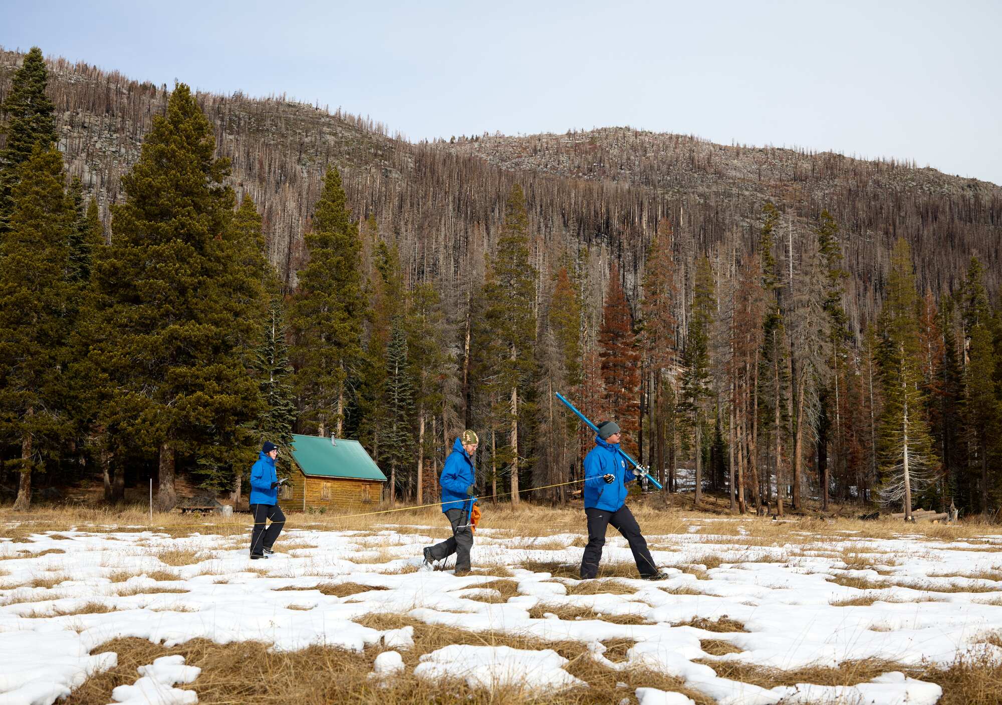
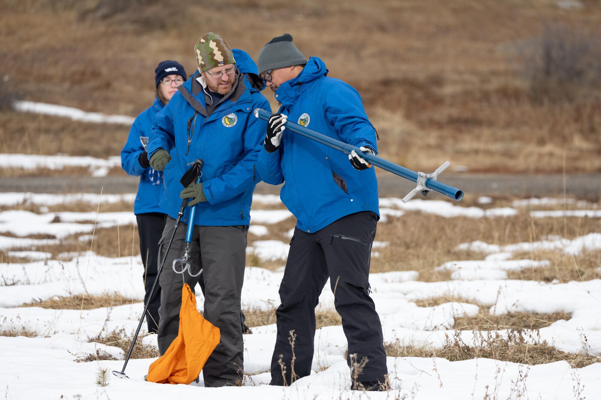
On Tuesday, state officials conducted their first snow survey of the season at Phillips Station, near South Lake Tahoe, where the ground was a patchy mixture of grass and powder. The monthly surveys in winter and spring are key to forecasting how the state’s resources will be allocated each year.
Snowpack at the location measured 7.5 inches, with a snow water content of 3 inches, said Sean de Guzman, manager of the California Department of Water Resources’ snow surveys and water supply forecasting unit. That amounts to just 30% of average for the date, and 12% of the average for April 1, when snowpack is typically at its deepest.
“The January snow survey is always our first big reveal of snow conditions for the year,” de Guzman said. “Last year on this date, we were standing on almost 5 feet of snow — so vastly different than what we are standing on here today.”
Electronic readings from 130 stations across California indicate the snow water content statewide is just 2.5 inches, or 25% of average for the date, compared with 185% at the same time last year.
“While we are glad the recent storms brought a small boost to the snowpack, the dry fall and below average conditions today shows how fast water conditions can change,” de Guzman said.
Low precipitation and warm temperatures are causing snow drought conditions throughout the West, not just in the Sierra Nevada, according to the National Integrated Drought Information System. Other regions include the Northern Rockies and parts of the Lower Colorado River Basin and Rio Grand River Basin.
“Snow drought conditions will continue to evolve throughout the winter,” the NIDIS said on its website. “Early in the season, snow drought recovery can happen quickly. Recovery from snow drought in late winter and early spring, when snowpack is typically near peak, can be more difficult.”
Unlike a typical drought, which refers to a total lack of moisture, a snow drought refers to a deficit in the expected amount of snow, Swain said.
“You may actually see average to above-average precipitation and have average to above-average soil moisture, but have a abysmally low snowpack,” he said. “And that is potentially what we’re headed for this winter in some parts of California and the Southwest.”
Global average temperatures last month were 2.59 degrees above the 20th century average — 0.68 degrees above the previous record, officials say.
Part of the challenge is that much of the state’s recent precipitation has fallen as rain instead of snow — a product of warmer conditions driven by El Niño and human-caused climate change. El Niño, a climate pattern in the tropical Pacific, arrived in June and is associated with hotter temperatures worldwide.
Though data from December is still pending, federal climate officials have said 2023 is “virtually certain” to go down as the hottest year on record.
“We have seen a number of storms that probably would have been cooler — and been snowfall — that have been rainfall,” said Andrew Schwartz, director of UC Berkeley’s Central Sierra Snow Lab at Donner Pass, where snowfall currently measures 32% of average.
Data dating back to 1978 show notable trends in that regard, Schwartz said, with snowfall declining and rainfall increasing in every month except for February.
“This really shows us that our snow season is getting shorter,” he said. “We’re going to have to plan for shorter periods of snowpack, and the complications that may bring with our management of water resources.”
Indeed, portions of the state’s water infrastructure were designed for the slow trickle of snowmelt, not the rapid deluge of rain, according to state climatologist Mike Anderson. A more mixed regime will require new strategies and technology, such as forecast-informed reservoir operations and aerial mapping tools to better prepare for runoff, manage water releases from dams and “help the state adapt as we move into a warmer world,” he said.
New research has found that winters of low snow, or even no snow, could become a regular occurrence in California in as little as 35 years.
There is good news, however. The recent storms helped replenish major reservoirs, which stand at 116% of average levels for the date, according to state data. California’s two largest reservoirs, Lake Shasta and Lake Oroville, are at 69% and 68% capacity, respectively.
What’s more, an incoming storm sequence is expected to bring a much colder conditions to California over the next 10 days, including several storms capable of dropping 6 to 12 inches of snow in the mountains, Swain said. That could move the state out of record-low territory by mid-January, although snowpack will likely still remain well below average.
“I don’t necessarily think this is going to be a good snow year — in fact it might end up being a pretty bad snow year — even if Central and Southern California do end up seeing above average precipitation overall this winter, which remains a distinct possibility, because it’s likely to be warm most of the time,” he said.
But there is still a long way to go. California’s water year runs from Oct. 1 through Sept. 30, with the majority of the state’s precipitation typically falling in January, February and March.
“We’re only about one-third of the way through the ‘big three’ months, and a lot can change,” said Anderson, the state climatologist.
Anderson noted that El Niño is only one of several factors that can drive conditions in California, including sub-seasonal climate patterns that can play a role in the types and temperatures of storms that hit the state.
The latest maps and charts on the California drought, including water usage, conservation and reservoir levels.
De Guzman, of DWR, said the snow survey results “show that it’s really still too early to determine what kind of year we’ll have in terms of wet or dry, and there can be so many things that happen with our storm systems between now and April, when we should see our peak snowpack.”
He noted that state officials are simultaneously preparing for either extreme wet or extreme dry conditions, including shoring up flood infrastructure and coordinating with emergency response partners in hopes of avoiding a repeat of last year, which saw devastating flooding, levee breaches, road damage and fatalities driven by more than 30 atmospheric rivers.
“California saw firsthand last year how historic drought conditions can quickly give way to unprecedented, dangerous flooding,” read a statement from DWR Director Karla Nemeth. “Although El Niño does not guarantee an above average water year, California is preparing for the possibility of more extreme storms while increasing our climate resilience for the next drought.”
Seasonal outlooks from the National Oceanic and Atmospheric Administration still favor warmer-than-normal temperatures and above-normal precipitation in California through at least March, de Guzman said, noting “we still have a lot of season left.”
The next snow survey will take place on Feb. 1.

