Brutal storm will make direct hit on L.A. County, O.C.; people urged to avoid driving if possible
- Share via
With this week’s monster storm now expected to make a direct hit on Los Angeles County and Orange County on Sunday and Monday, officials are urging people to stay off roads amid concerns about flooding and mudslides.
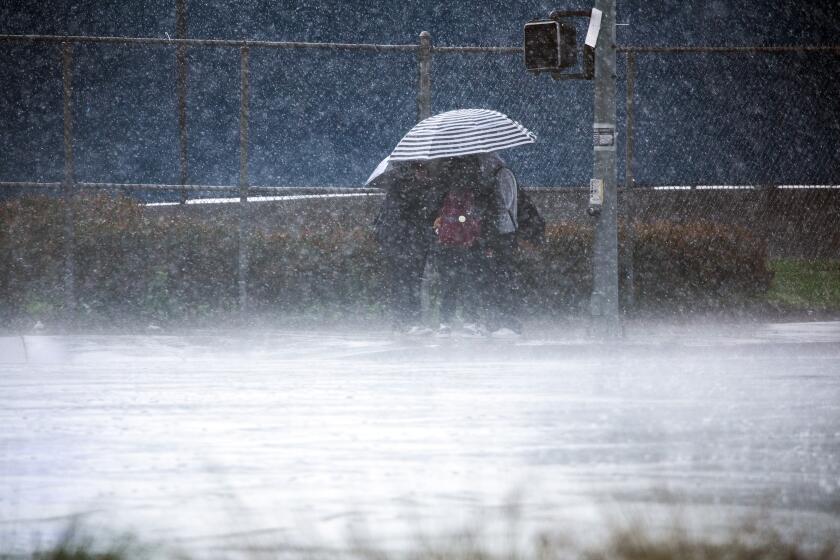
The intense, sustained rains are going to make for an ugly and potentially dangerous Monday commute, and officials said people should avoid being on the roads if possible.
“If anyone has an opportunity to work remotely on Monday, that’s definitely the day to do it,” said Ryan Kittell, a meteorologist with the National Weather Service in Oxnard.
Forecast worsens for L.A., O.C., Inland Empire
The forecast rain totals for Los Angeles County worsened Sunday, with totals generally going up by about 2 inches in some areas. It’s now possible that, by the time this storm tapers off Tuesday, Pasadena could see around 10 inches of rain; with about 7 inches in Northridge, Pomona and Santa Clarita; about 6 inches in downtown Los Angeles, Long Beach and Westlake Village; and about 5 inches in Redondo Beach.
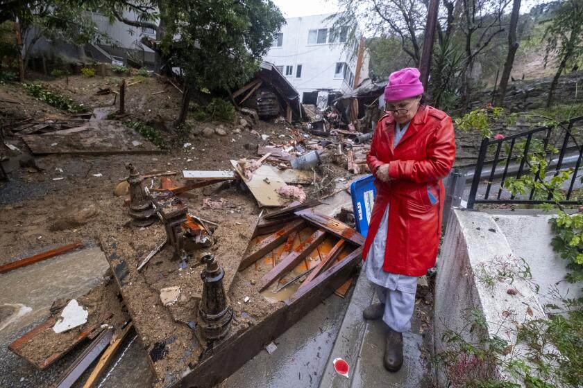
If these totals hold true, the Southland is likely to see widespread flooding and mudflows and debris flows in hillside areas, especially those hit by recent fires.
Orange County and the Inland Empire also saw their forecasted rain totals worsen, also climbing by about 2 inches in some areas. “Torrential rainfall expected,” the weather service said, with Anaheim, Irvine and Ontario now forecast to get 5 inches to 7 inches of rain.
San Clemente and San Bernardino could get 4 inches to 5 inches of rain, and Riverside and Lake Elsinore, between 3 inches and 4 inches.
The weather service designated Los Angeles, Ventura and Santa Barbara counties as having an “extreme” weather risk level, the worst on a five-level scale, for Sunday and Monday. The weather risk level was upgraded to “extreme” on Monday for Orange County, the Inland Empire, the Santa Ana Mountains, the San Bernardino Mountains and the beaches of San Diego County.
Orange County issued an evacuation warning Sunday night for areas in the Santa Ana Mountains, including along sections of the Santiago, Silverado, Williams, Modjeska, Trabuco, Live Oak, Rose, Holy Jim and Black Star canyons, as well as around Irvine Lake.
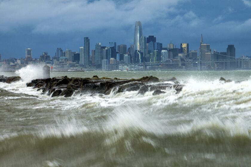
Chilling rain, swirling gray clouds and blustery winds rolled into Southern California on Sunday as what was anticipated as the strongest storm of the season promised near-record rainfall and flash flooding through Tuesday.
Danger on roads
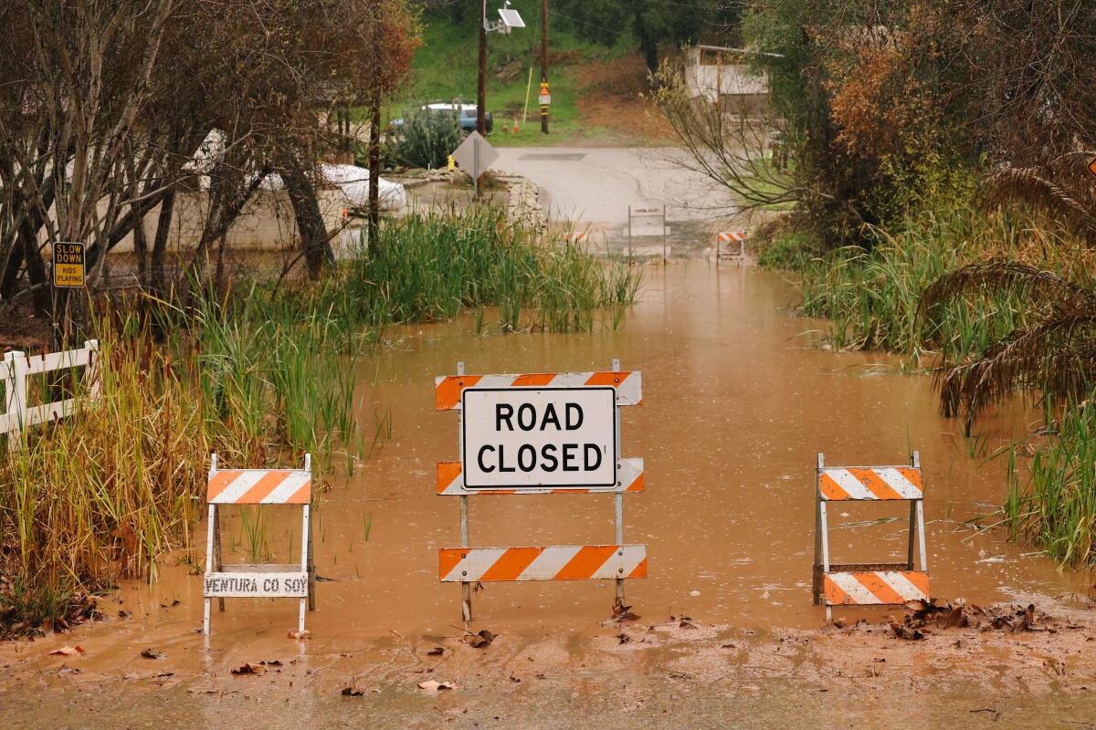
“We’re expecting a lot of freeway flooding and road flooding, road closures. Many parked cars will be flooded... especially in low-lying areas of neighborhoods,” Kittell said. “Even if the rain does start to let up on Monday morning, just the sheer amount of rain overnight will cause lingering flooding issues into the morning hours,” Kittell said. “Especially, stay off the freeways.”
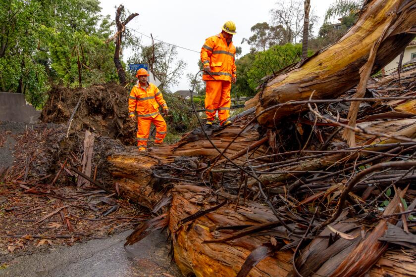
Kittell added: “Any areas that are vulnerable to mudslides — this definitely has the signature for that, especially as you get closer to Los Angeles County, but also including Ventura and Santa Barbara County.” Expect plenty of mud, rocks and debris on canyon roads, “flooded neighborhoods,” and the potential for people living near creeks and rivers to need rescue from strong flows.
‘Stay home’
“If you are not home already, please get home and stay home. Stay off the roads,” Los Angeles Mayor Karen Bass said. “As we anticipate this weather event continuing into the next couple of days, if you are able to work remotely, please stay home.”
L.A. City Council President Paul Krekorian said the anticipated amount of rainfall is rare for Los Angeles, and noted that “we’ve only had this kind of intensity twice before in the last over 40 years, so take it seriously.”
“If you absolutely have to drive, slow down,” Krekorian said. “Don’t drive through flooded areas — there are going to be potholes. There are going to be dangers, and you’re going to be putting not only yourself but others on the road at risk as well.”
The forecast just got worse for Orange County, the Inland Empire and mountain communities.
Some Los Angeles County employees are being advised to work from home Monday, said Lindsey Horvath, chair of the county Board of Supervisors.
Last week’s storm was far less powerful but caused significant street flooding.
On Thursday, inundated roads clogged the morning commute, closing southbound lanes of the 710 Freeway at Pacific Coast Highway in Long Beach and a portion of PCH at the McClure Tunnel in Santa Monica. In Huntington Beach, a three-mile stretch of PCH was also shut down by flooding.
Almost seven miles of Palos Verdes Drive South from Hawthorne Boulevard to Palos Verdes Drive East closed for a few hours Thursday because of flooding and a mudslide that left debris and mud across the roadway, with authorities urging residents to “shelter in place until the heavy rain passes.”
Officials are expecting life-threatening damage and issuing evacuation orders or warnings in parts of Los Angeles, Ventura and Santa Barbara counties.
Floodwaters also submerged vehicles in low-lying areas of Long Beach on Thursday.
Worse than Hilary?
For some of the populous areas of Southern California, this storm will bring winds that will actually be “much stronger” than Tropical Storm Hilary in August, especially in the lower elevations, Kittell said.
Hilary brought most of its rain on the inland side of Southern California’s mountains and in the deserts; this weekend’s storm is focused on “the coastal side of the mountain — so where a lot of people live ... the urban, city areas along the coast and valleys, and the south-facing foothills,” he added.
Forecasters said the Los Angeles area, where the system could park for a long time Sunday into Monday, was of major concern.
Schools
The L.A. Unified School District will hold classes Monday.
“Our schools represent more than just education. They are the places where many of our kids receive their nutrition,” Supt. Alberto Carvalho said. “After this weekend, many will depend on that breakfast, the lunch, the snack and in many cases, a dinner. Our schools will be open.”
But recognizing the threat of the storm, Carvalho also said parents and staff should not put themselves in danger Monday.
“We will be exercising a great deal of grace, of patience and understanding both with our students as well as our workforce,” Carvalho said. “I urge parents and the workforce to make decisions on the basis of what you know surrounding your community and your journey to your school or place of work. Do not put yourself in danger.”
LAUSD’s early strategy, keeping schools open, is a sharp departure from the quick decision to close schools as Tropical Storm Hilary approached last August.
Santa Barbara Unified School District will not operate classes Monday. Several campuses of the California State University system — Dominguez Hills, Fullerton, Los Angeles, Northridge, Pomona and San Bernardino— canceled in-person classes for Monday, and at least some of them may be moved online. The Long Beach campus said in-person classes “may shift to online instruction or alternative assignments, where possible.”
More safety information
- The Times’ complete guide to storm safety preparedness
- How to drive in the rain
- What we know about this storm
- Preparing for disaster if you are disabled
- Understanding mudslides
- Signing up for emergency alerts
Times staff writers Howard Blume and Andrew J. Campa contributed to this report.
More to Read
Sign up for Essential California
The most important California stories and recommendations in your inbox every morning.
You may occasionally receive promotional content from the Los Angeles Times.
