Don’t put away your umbrella yet: Cold storm system moves into California, bringing more rain, snow

- Share via
Here we go again: A powerful Pacific storm moved into California on Tuesday, promising to deliver strong winds, low temperatures and even more rain to the waterlogged state.
The “cold and vigorous storm system” originated in the Gulf of Alaska, the National Weather Service said. It will strike Northern California on Tuesday and make its way south and east through Wednesday, keeping high temperatures in the 50s across much of the state.
The storm will likely result in “more downed trees and power lines and power outages” but is not expected to be as violent as the bomb cyclone that struck the state last week, said UCLA climate scientist Daniel Swain.
“I don’t think there’s going to be a repeat of that, even though the impacts from this storm will be higher than a storm of this magnitude would usually be, just because there’s been so many strong storms that have preceded it,” he said.
Newsom’s decision to rescind some of the most severe restrictions comes after drenching storms eased extreme drought conditions across the state.
Upper Northern California felt the first effects Tuesday, with more than 14,000 people in Del Norte, Siskiyou and Shasta counties losing power for several hours. Winter storm warnings and advisories covered nearly all of the region, with officials warning of potential wind gusts of 45 mph and heavy snow above 2,500 feet, including up to 24 inches in portions of Trinity County.
The San Francisco Bay Area, where widespread power outages and at least five deaths were reported during last week’s storm, was experiencing showers Tuesday morning when it was shaken by a 3.5 magnitude earthquake.
The system was expected to strengthen over Sonoma, Marin and Napa counties, as well as the San Francisco peninsula, throughout the day. The San Francisco Bay Ferry reported service disruptions as conditions grew stormier. Thunderstorms and hail were reported near San Francisco International Airport.
Wind gusts up to 50 mph were possible in the Bay Area and along the Central Coast, with 1 to 2 inches of rain and low-elevation snow. Up to 7 inches of snow could fall near the peaks of the Santa Lucia Mountains.
Farther inland, the Sacramento Valley and Sierra Nevada were bracing for widespread rain and heavy mountain snow. Strong winds Tuesday afternoon brought down trees and power lines throughout Placer County, officials said, and about 2,200 people were without power.
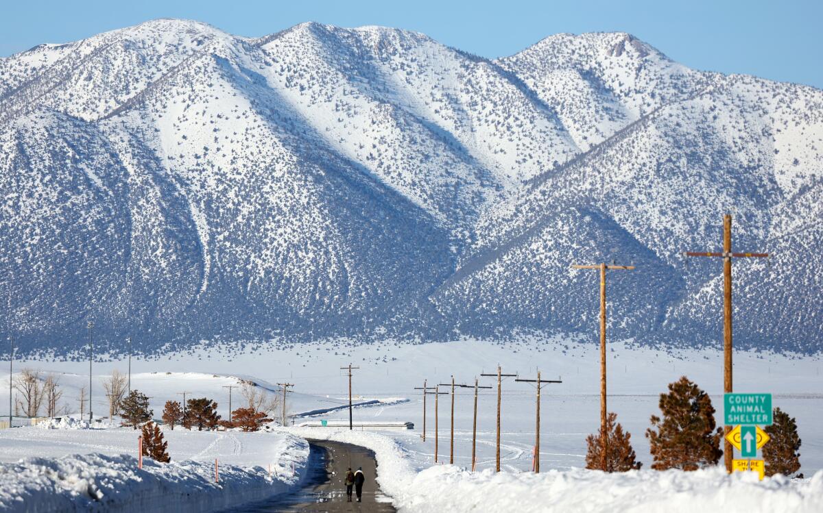
The Sierra could receive up to 4 feet of fresh powder, while the Coastal Range and Shasta County mountains could see up to 3 feet, said Chelsea Peters, a meteorologist with the weather service in Sacramento.
“We had a couple of weeks’ break there in late January and into February, but otherwise, it’s kind of been nonstop,” she said of the state’s wet season. “This winter has been abnormally wet overall, and then, on top of that, significantly anomalous in terms of the snowfall that we’ve seen, particularly in the Sierra.”
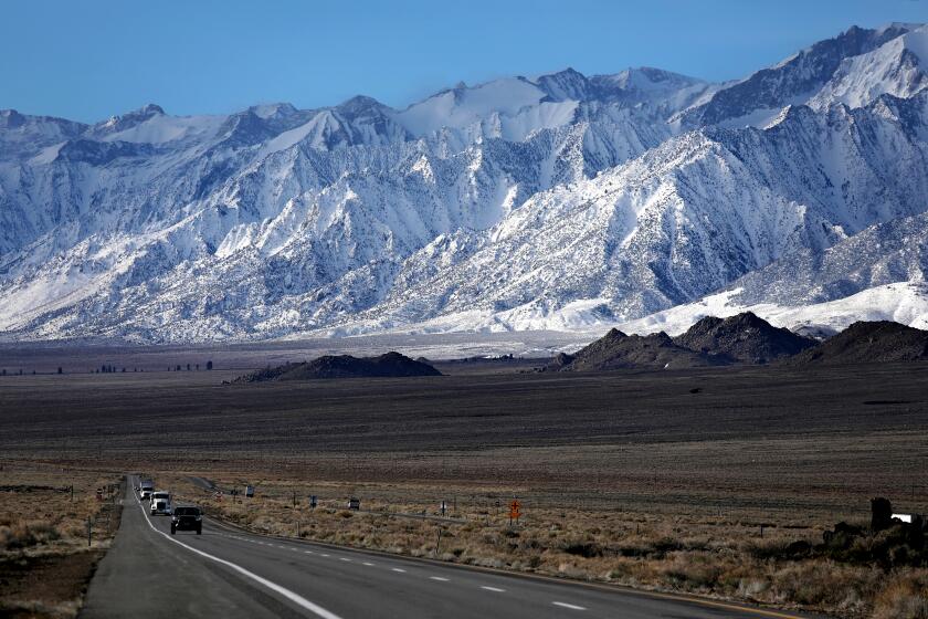
Statewide snowpack on Tuesday was 227% of normal for the date, according to state data. In the southern Sierra, it was 284% of normal — an all-time record.
Peters said the incoming snow will continue to add to hazards and travel risks in mountain areas.
“There are pretty heavy snowfall rates expected — generally 2 to 4 inches an hour, which is not good driving conditions,” she said, adding that travel plans in the mountains should be rescheduled for after the storm if possible.
The statewide snowpack record also hangs in the balance as another storm is poised to bring even more snow to the Sierra.
Southern California won’t escape the storm, which is expected to move into the region Wednesday afternoon and continue into Thursday. Coasts and valleys from San Luis Obispo to Los Angeles could get up to an inch of rain, while hills and mountain areas could see up to 2 inches.
The storm will also deliver snow, including up to 8 inches at elevations above 5,000 feet. The Santa Barbara and Ventura County mountains could get up to 14 inches, with 18 inches possible in the L.A. County mountains.
A winter weather advisory will be in effect from early Wednesday morning through Thursday for the Santa Barbara and Ventura County mountains and into the Interstate 5 corridor of the L.A. County mountains. A winter storm watch has been added to the San Gabriel Mountains.
In Southern California, “isolated thunderstorms with brief heavy downpours, gusty winds and small hail remain a possibility, especially Wednesday and Thursday,” forecasters said.
However, much of the focus remains on the Central Valley, where residents continue to deal with the effects of severe floods from rain, snow and swelling rivers brought on by previous storms.
Gov. Gavin Newsom on Tuesday afternoon requested a presidential declaration of major disaster for the counties of Calaveras, Kern, Los Angeles, Mariposa, Monterey, San Benito, Santa Cruz, Tulare and Tuolumne. If approved, the declaration could boost emergency response and recovery efforts in communities affected by storm-related flooding, debris flows, snow and avalanches.
Evacuation warnings remain in effect in parts of Porterville, Allensworth and other areas of Tulare County along the Tule River. Officials have expressed concern about severe flooding as the deep Sierra snow melts in the weeks and months ahead.
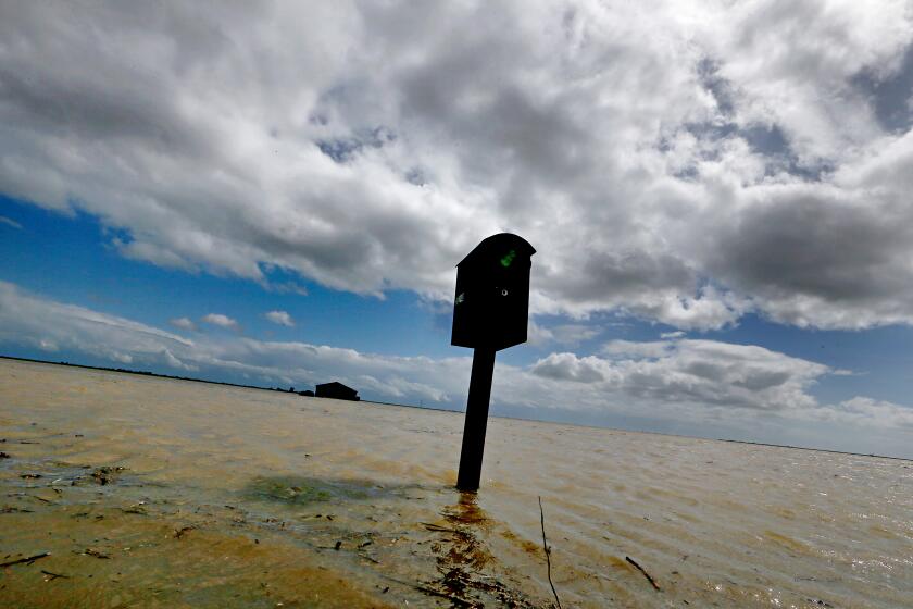
Tulare Lake — which was drained in the late 19th and early 20th centuries to divert more water for agriculture — has already begun to reemerge as floodwater swallows fields, orchards and low-lying towns.
The ‘phantom’ Tulare Lake returns
The Central Valley is expected to receive up to half an inch of rain, while the southern Sierra could see 4 feet of snow at elevations above 5,000 feet, according to Josue Chamberlain, a meteorologist with the weather service in Hanford.
“It’s been a wet and snowy winter, but this storm system seems to be more moderate compared to the last system,” Chamberlain said. However, avalanche watches are in effect until Wednesday morning in Mono County, the eastern Sierra slopes of Inyo County and the greater Lake Tahoe area.
A flood watch will also be in effect from 5 p.m. Tuesday to 4 a.m. Thursday in much of the Central Valley, from Bakersfield to Modesto. Officials are continuing to monitor levee breaches around Alpaugh and Allensworth, said Jeffery McLaughlin, deputy chief with the Tulare County Fire Department.
The storm arrives on the heels of a winter and early spring that have eased drought conditions but tested the state’s residents with extreme weather, including widespread flooding, tornadoes and deadly blizzards.
Conditions are expected to clear briefly after the storm, but another could hit the state sometime between Sunday night and Tuesday, forecasters said.
“It’s been a hell of a year in California weather, and it isn’t over yet,” said UCLA’s Swain. “There’s still more to come.”
More to Read
Sign up for Essential California
The most important California stories and recommendations in your inbox every morning.
You may occasionally receive promotional content from the Los Angeles Times.


