Storm sets new L.A. rain records. Another blast is on the way. Here’s a timeline

- Share via
Southern California will get a break in the rain for part of Sunday, but a new storm is on the way.
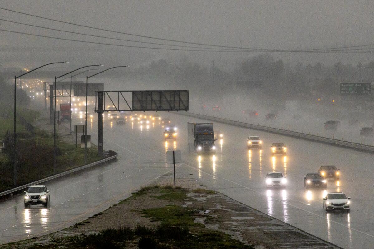
The region was hit by intense storms on Saturday. That storm set several new rainfall records for the date, including downtown L.A. (1.82 inches), LAX (1.53 inches) and Long Beach airport (1.72 inches).
According to the National Weather Service, the new rain brought seasonal totals to 11.91 inches, “which is 6.46 inches above normal to date.”
Forecast
Sunday: Mostly cloudy with rain developing in the evening.
Monday: Rain in the morning, showers in the afternoon.
Tuesday: Sunny.
Wednesday: Sunny.
Details
- Snow levels will drop to 5,000 feet
- Hazardous driving conditions
- Minor flooding and mudslides possible, but no major flooding expected.
- Rockslides are possible in canyons and steep hillsides,
- Los Angeles Mayor Karen Bass on Friday declared a local state of emergency in response to mudslides, flooding and road closures. The declaration, which asks the governor’s office to waive regulations that would slow recovery efforts, directs city departments to continue assessing storm damage and seek state and federal assistance.
- The statewide onslaught of storms has helped put a significant dent in drought conditions. Just one month ago, 7% of California was in exceptional drought and 36% in extreme drought, according to the U.S. Drought Monitor. But on Thursday, that had dramatically changed: 0% of the state was in exceptional drought, and only a tiny portion of far Northern California, 0.32%, was in extreme drought.
More to Read
Sign up for Essential California
The most important California stories and recommendations in your inbox every morning.
You may occasionally receive promotional content from the Los Angeles Times.


