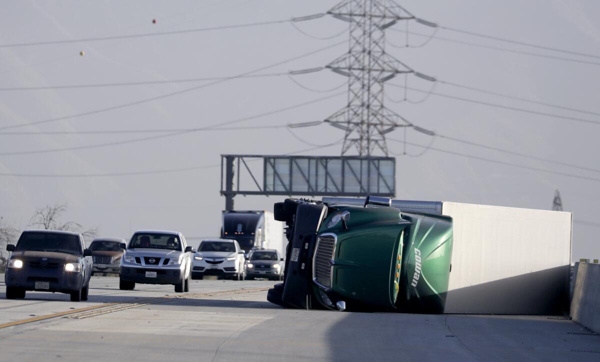
Strong winds flip trucks like toys, blow down trees in Southern California

- Share via
Strong winds that buffeted Southern California overnight, toppling trees and overturning big rigs, are expected to continue through Tuesday.
Northeast winds from 15 to 30 mph with gusts up to 40 mph are expected for Los Angeles County coastal regions including downtown L.A., Malibu, Santa Monica, Beverly Hills and Long Beach through at least noon, forecasters say. Higher elevations are expected to see gusts up to 65 mph, said Lisa Phillips, a meteorologist with the National Weather Service in Oxnard.
“It’s going to be tapering off through today and then into overnight,” she said. “Wednesday should not be too bad.”
The weather service issued a wind advisory, warning that driving could be difficult, especially for high-profile vehicles, and tree limbs could fall, potentially causing power outages. The 101 and 405 freeways and Pacific Coast Highway could be affected by strong crosswinds, the weather service said.
The winds, which began Monday, picked up strength overnight, reaching 54 mph in Malibu Hills, 58 mph near Camp Nine in the Angeles National Forest and 71 mph along the coast near Escondido Canyon.
Strong gusts flipped at least two big rigs traveling on the 15 Freeway through Fontana early Tuesday. In Yucaipa, firefighters responded to a home overnight after a massive tree fell onto a Nissan Sentra, crushing the vehicle.
Temperatures are expected to hover in the high 60s to low 70s across much of Los Angeles County this week.
Long-term models suggest no significant precipitation across California over the next two weeks, raising concern among experts that the already large precipitation deficit will continue to grow.
February is typically the state’s wettest month, bringing an average rainfall of 3.8 inches to downtown L.A. But there have been only trace amounts of precipitation in downtown so far this month, according to National Weather Service data.
From a wildfire risk perspective, the “worst possible sequence would be continued dry February followed by brief burst of wet conditions in spring,” Daniel Swain, a climate scientist with UCLA and the National Center for Atmospheric Research, wrote on Twitter.
The reason, he says, is that late rains allow seasonal grasses and brush to grow rapidly, but an accumulated precipitation deficit would prime older vegetation to burn.
More to Read
Sign up for Essential California
The most important California stories and recommendations in your inbox every morning.
You may occasionally receive promotional content from the Los Angeles Times.


