Nature’s Visual Treasures in San Gabriel River’s East Fork
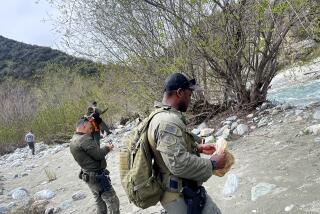
East Fork Trail penetrates the monumental middle section of the East Fork of the San Gabriel River. Sometimes you will spot a weekend gold miner finding a flash in his pan, but the real treasure of this section of the San Gabriel River lies in its beauty, its alders and tumbling waters.
It’s wet going--even with a low water level, figure on some wading--but you’ll be well rewarded for all your boulder hopping and stream crossings. The dizzy chasm of the Narrows is awesome, the steepest river gorge in the San Gabriel Mountains.
Directions to trail head: From the Foothill Freeway (Interstate 210) in Azusa, exit on Azusa Avenue (California 39) and head north. As you drive through Azusa, Azusa Avenue will become San Gabriel Canyon Road. Ten miles up California 39, turn right (east) on East Fork Road and continue eight more miles to East Fork (Fire) Station. Park in the large dirt lot just below a locked gate.
The hike: Hike north on the crumbling roadbed that contours the slope above the east side of the river. In half a mile, the trail descends to the canyon floor, where it begins crossing and recrossing the river. You will pass the cracked asphalt remains of the old East Fork Road that once led to the Narrows. It was chewed to pieces in the great flood of 1938. Two miles and several river crossings from the trail head, you’ll pass near Swan Rock, a mighty wall west of the river with the faint gray outline of a Gargantuan swan. Yes, you do have to use your imagination.
As the canyon floor widens and twists northward, the trail climbs the right side of the canyon floor and continues on the remains of East Fork Road, high above the rushing water. After ascending north a ways, you will reach the “Bridge to Nowhere.” No road meets the bridge at either end; the pavement was carried away by the 1938 flood. Cross the bridge and, after you reach the other side, bear right on a slim trail that soon drops you into the Narrows. A quarter mile from the bridge, near the turbulent river, is Narrows Camp, a fine place to picnic and view the handsome gorge.
The intrepid may continue three-quarters of a mile upriver through the Narrows to Iron Fork Camp, and another one mile beyond this camp to Fish Fork Camp. The trail beyond Narrows Camp is all but washed away; energetic hikers will imagine themselves as spawning salmon and slosh up the riverbed to these camps. At Fish Fork Camp, the waters of Fish Fork cascade down from Mt. Baldy’s shoulders to join the East Fork. It’s been a popular fishing spot for generations of anglers.
East Fork Trail
East Fork Station to Narrows Camp: nine miles round trip; 1,000-foot elevation gain.
More to Read
Sign up for The Wild
We’ll help you find the best places to hike, bike and run, as well as the perfect silent spots for meditation and yoga.
You may occasionally receive promotional content from the Los Angeles Times.


