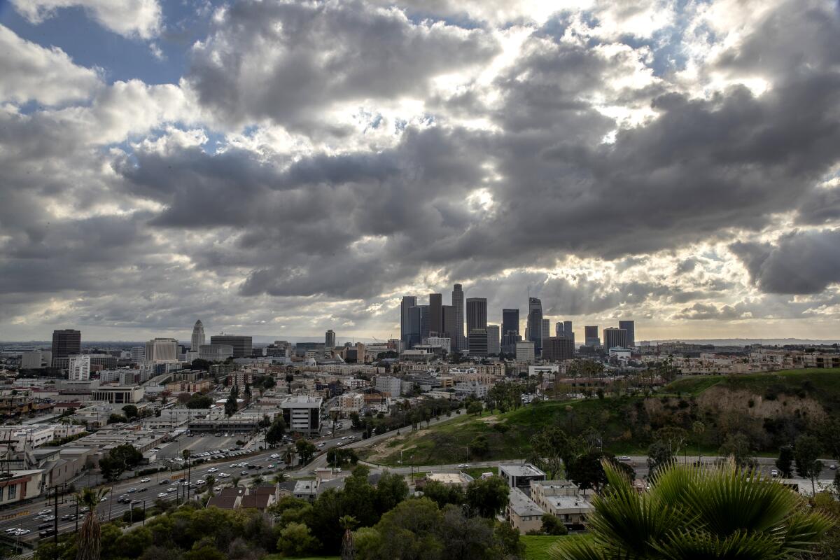
Chilly rainstorm dampens Southern California overnight. Clear skies on the horizon

A chilly winter storm produced some of the first measurable rain of the year for many Southern California communities overnight, then left nearly as quickly as it arrived.
The storm, which originated south of Alaska earlier in the week, dumped heavy rain and snow across much of the northern part of the state Thursday, causing flooding in some areas and road closures in mountain passes. But by the time the system reached Los Angeles County around 9 p.m., it had weakened considerably, said David Bruno, a meteorologist with the National Weather Service in Oxnard.
Light rain continued for a few hours before the front moved out about 2 a.m. A band of heavy showers dumped 1.10 inches of rain on Monte Nido in the Santa Monica Mountains. However, the countyŌĆÖs coastal cities saw no more than half an inch of rain, Bruno said.
Santa Barbara County got a bit more precipitation. Refugio Pass in the Santa Ynez Mountains received 1.42 inches of rain, while Gaviota got just over an inch.
ŌĆ£This happens fairly often where the system is more powerful in the central part of the state, and by the time it reaches Los Angeles, it narrows and has a smaller area of precipitation,ŌĆØ Bruno said.
The storm dropped snow levels to 3,400 feet, dusting the 5 Freeway corridor through the Grapevine with fresh powder. The snow prompted the California Highway Patrol to escort traffic through the area, but no closures were necessary.
However, the California Department of Transportation closed State Route 2 from Highway 39 to Grassy Hollow Campground west of the Mountain High ski area in Wrightwood on Friday morning because of heavy snow.
It was not clear when the road would reopen.
The storm brought Southern California the most rain it is likely to see for at least a week. A very weak storm moving toward the state from the central Pacific Ocean probably wonŌĆÖt result in much, if any, rain for Los Angeles next week, forecasters say.
The weather system comes on the heels of what has been a dry January after the state saw significant rain in late November and December. Those early winter storms were enough to keep the majority of California out of drought conditions, according to a map released Thursday by the National Drought Mitigation Center.
Despite the modest rain amounts this month, precipitation in L.A. is still above average for the water year as California heads into February, which is typically the wettest month for the state, Bruno said.
Portions of Northern California ŌĆö including San Francisco, San Jose and Santa Rosa ŌĆö are below normal for this point in the water year, according to data from the weather service.
ŌĆ£It does look like weŌĆÖre going to have another dry week,ŌĆØ Bruno said. ŌĆ£WeŌĆÖre going to have to get it in gear in February.ŌĆØ
More to Read
Sign up for Essential California
The most important California stories and recommendations in your inbox every morning.
You may occasionally receive promotional content from the Los Angeles Times.


