Angeles National Forest closes some popular trails until April 30

- Share via
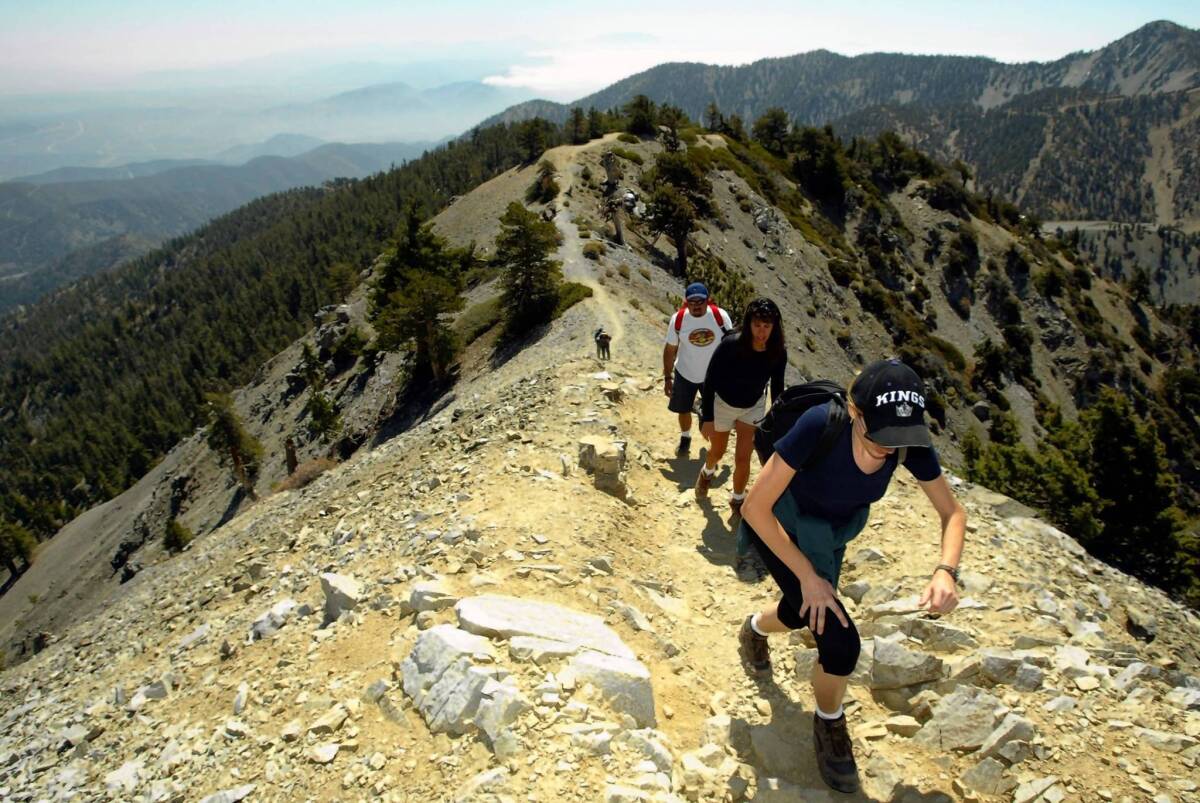
Popular forest roads and trails in areas of the Angeles National Forest, including those leading to Mt. Baldy, Mt. Wilson and Echo Mountain above Altadena, will close Saturday until April 30 over coronavirus concerns, a U.S. Forest statement said.
The 700,000-acre forest north of Los Angeles is one of the city’s closest and most popular recreation areas for hikers, trail runners and bicyclists. Closures affect 81.5 miles of trails out of 760 miles, including four trail heads, 23 trail access areas and 19 forest roads.
For the record:
12:20 p.m. April 3, 2020An earlier version of this wrongly story said trails were closed through July 1. The U.S. Forest service closures apply through April 30.
Visitors will still be able to walk in other areas of the forest “but does restrict access to roughly 40,000 out of 700,000 acres of the Angeles,” the order said.
Amid coronavirus restrictions, tips for walking, hiking, cycling, running near home
“In alignment with current federal, state, and local guidance for social distancing and to ensure health safety of its visitors, volunteers and employees, the Angeles National Forest will temporarily shut down portions of the San Gabriel Mountains National Monument and Los Angeles Gateway Ranger District,” the statement said.
Individuals will be fined $5,000 and organizations $10,000 for violating the trail closures or face imprisonment of up to six months.
Trail head and road closures include:
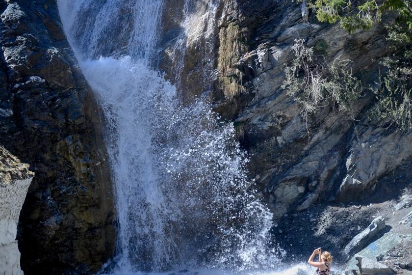
- Trail heads and trails at San Antonio Falls, Icehouse Canyon and North Devil’s Backbone, routes that lead to the top of 10,050-foot Mt. Baldy. In the same area, trails to Telegraph Peak, Timber Mountain, the Three Ts, Bighorn Peak and the Chapman Trail.
- Trails to Millard Canyon, Mt. Wilson, Gabrielino Trail, Rim Trail, Valley Forge Trail, Sam Merrill Trail, San Gabriel Peak, El Prieto, Ontario Peak, Bear Canyon Loop Trail, Sunset Ridge and others in the San Gabriel Mountains north of Los Angeles.
- Road closures include the Mt. Wilson Toll Road and fire roads to Big Santa Anita Canyon, Mt. Lowe, Gould Mesa, Arroyo Seco Road, Mt. Lukens Road and others.
It’s surprisingly easy to learn the best techniques that help you get the most out of the simple act of breathing.
The Forest Service also may temporarily cut off access to “additional recreation areas that attract large crowds and cannot meet social distancing guidelines” set by the CDC. Check out the full closure order and maps for details.
Also, the National Park Service this weekend will close all Santa Monica Mountains National Recreation Area trails, trail heads, restrooms, overlooks and pullouts in Ventura County — and then reopen them Monday, when crowds are thinner.
The move announced Tuesday covers Rancho Sierra Vista (including the Wendy Trailhead); Cheeseboro Canyon Trailhead; the Deer Creek area; and all trails within Circle X, which includes Sandstone Creek, Mishe Mokwa, the Grotto Trail, the trails and overlooks along Yerba Buena Road, and the Backbone Trail along the spine of the Santa Monicas.
More to Read
Sign up for The Wild
We’ll help you find the best places to hike, bike and run, as well as the perfect silent spots for meditation and yoga.
You may occasionally receive promotional content from the Los Angeles Times.


