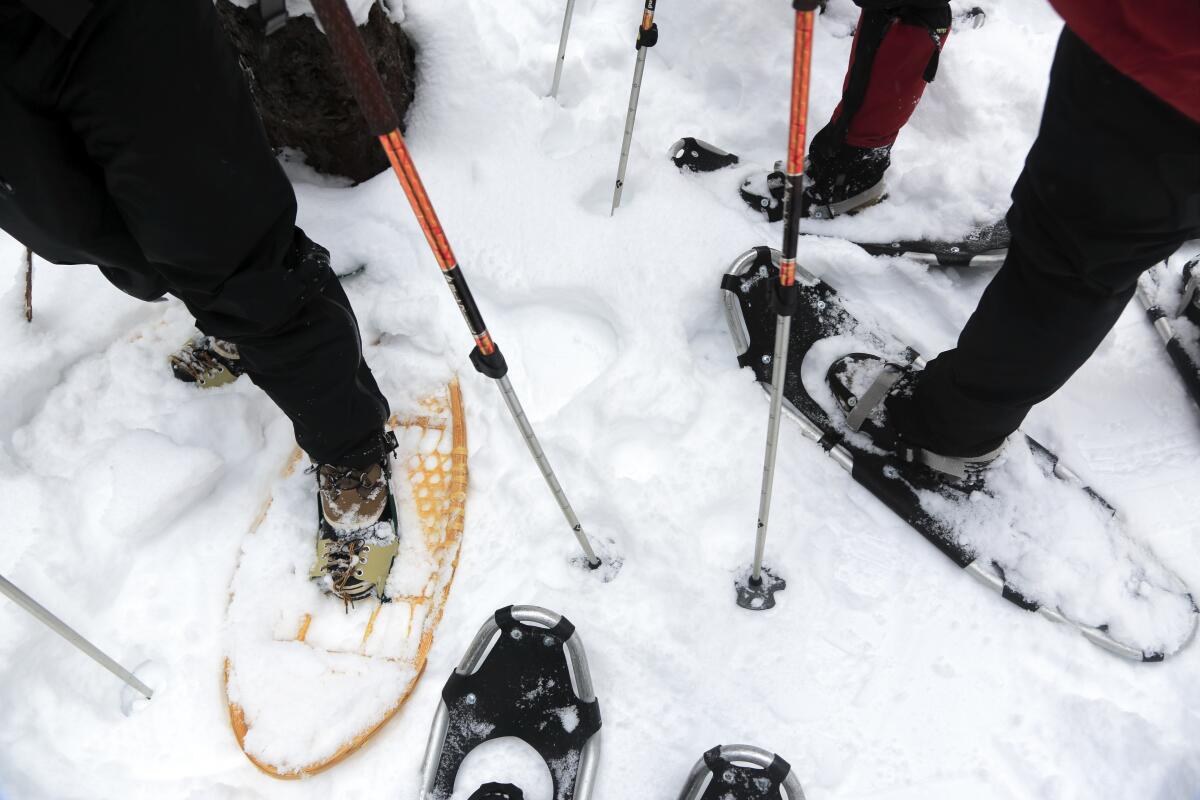
It’s a glorious time to try snowshoeing. Here are 9 great trails in San Diego
- Share via
With snowshoes strapped to my boots, I set out on untrammeled snow, other than various animal tracks, in the direction of Oakzanita Peak, one of my favorite spots in Cuyamaca Rancho State Park. From snow-covered East Mesa Fire Road, I stepped onto Upper Descanso Creek Trail, knowing the trek to the peak in approximately foot-deep snow was going to be steep and strenuous. At the creek crossing, I stopped and thought of coyotes and deer having fresh drinking water possibly into early summer.
Up and up I slowly went, pausing to take in the winter vistas in the land of the Kumeyaay. The sun cast shadows of the season’s trees and shrubs. On a white canvas, the dark lines swayed and danced in the breeze, providing a soft consideration of the rhythms of nature. Dancing manzanitas, chaparral and tree species whose names I did not know reminded me of the importance of knowledge, humility and, for goodness sake, the need to simply dance.
When I finally stood atop Oakzanita Peak, I experienced winter’s majesty. Alone in contentment, the land resonated and became frozen in my mind’s eye, reminding me there is beauty in this world.
Snowshoeing, one of the fastest-growing winter outdoor recreation sports in the United States, is well documented as beginning with North American Native peoples. Their snowshoe designs varied around the continent according to snow types and frequency, along with depths, as well as the materials they used. The same is true today, in a sense, in that there are numerous kinds of snowshoes available. Rental store staff and customer service team members at gear shops can assist you with finding the snowshoes that fit your needs.
If you are able to go on a hike, you should be able to snowshoe. In a nutshell, you simply put on your favorite winter boots to keep your feet warm and dry and then you strap snowshoes onto your boot-covered feet. Then, with a slightly wider gait so as to not knock your snowshoes together and possibly fall, you put one foot in front of the other and off you go!
Off I went on multiple outings in San Diego’s east county mountains over the past few weeks, with the super abundance of snow. While San Diego is famous for its 70 miles of beautiful beaches, it is lesser known for its mile-high peaks that rise less than an hour away by car, if you plan well. Out there, pine forests and mixed oak groves blend together with the flora and fauna of the farthest reaches of the Colorado Desert, which is part of the larger Sonoran Desert, providing one of the most biodiverse regions in the United States for adventuring. In winter, it almost always snows in the upper elevations (5,000 to 6,000-plus feet) of the Cuyamaca and Laguna mountain ranges, and sometimes, like during this season, we get historic snowfalls and you can go for days on end.
Planning your weekend?
Stay up to date on the best things to do, see and eat in L.A.
Below are nine trails in San Diego County to try. Before you go, here are some considerations:
- If you’ve never snowshoed, be prepared for possibly tripping over yourself until you get the hang of it. Generally speaking, when your feet are in boots and strapped to snowshoes, you’ll have to walk with a wider gait. Trekking poles are great to have, not only for keeping balance and for any possible stream crossings, but once you get the hang of it, they’ll help move you down the trail with more strength and ease. Also, gaiters — waterproof wraps that strap around your ankle and calf — help to keep the snow out of your shoes.
- When considering miles/distance, most beginners will find one mile of snowshoeing to be the equivalent of two miles of hiking, with regard to energy output. For sure, your leg muscles are going to get worked differently than when you are walking/hiking without snowshoes on your feet.
- For snowshoe rentals, check your local gear shops. REI San Diego does show snowshoe rentals on their website.
- Cuyamaca Rancho State Park has parking fees. This can be challenging, however, since the QR codes at trailheads/parking areas often aren’t accessible due to lack of cellphone service/coverage. Pro tip: if you have pen and paper in your vehicle, leave a note on your dashboard saying you don’t have cell service.
- If you visit Laguna Mountain Recreation Area, you need to purchase and display an Adventure Pass ($5 daily) in your vehicle when you park along the Sunrise Highway. A National Parks pass will work as well.
- Cleveland National Forest Recreation Passes and Permits: Snow chains are often required on the Sunrise Highway. Four-wheel drive and all-wheel drive vehicles with all-season tires may not be required to have them, but California Highway Patrol checkpoints may require you to have them in your vehicle.
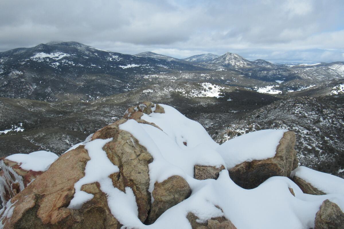
Oakzanita Peak, Cuyamaca Rancho State Park
To snowshoe up to Oakzanita Peak, I recommend parking at East Mesa Parking Area off Route 79. Head south a short bit on East Side Trail from the parking area and then turn left onto East Mesa Fire Road. In less than a mile, turn right on Upper Descanso Creek Trail. From there, step by step, you’ll make your way up to the peak.
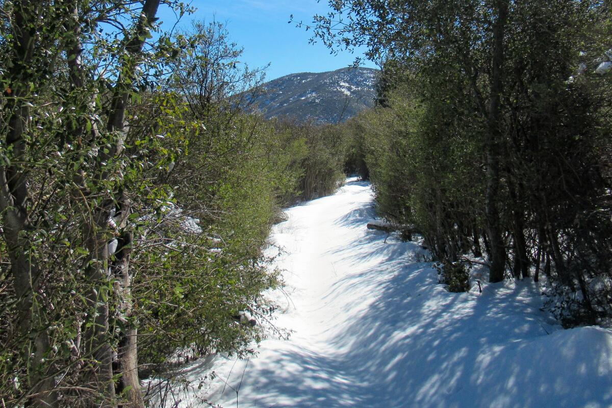
East Side Trail to West Side Trail Lollipop Loop, Cuyamaca Rancho State Park
From the East Mesa Parking Area off Route 79, head north on East Side Trail, passing through beautiful mixed oaks, pine and manzanita trees. In about a mile, you’ll arrive at the Sweetwater Parking Area (optional to park here to shorten your outing) and continue north on East Side Trail. In another mile or so, turn left onto Cold Stream Trail and continue to the visitor center (pro tip: there are bathrooms here).
Turn left/west onto the park access road and then cross over Route 79 and continue on West Side Trail, which is easily seen from the road crossing. At the junction a few hundred feet into it, stay left on West Side Trail. At Japacha Fire Road, turn left again and then back onto West Side Trail and stay to the left, going in the direction of Route 79/Sweetwater Parking Area, which is visible from the trail. At this point, you’re back to where you started and then you proceed south on East Side Trail to the East Mesa Parking Area.
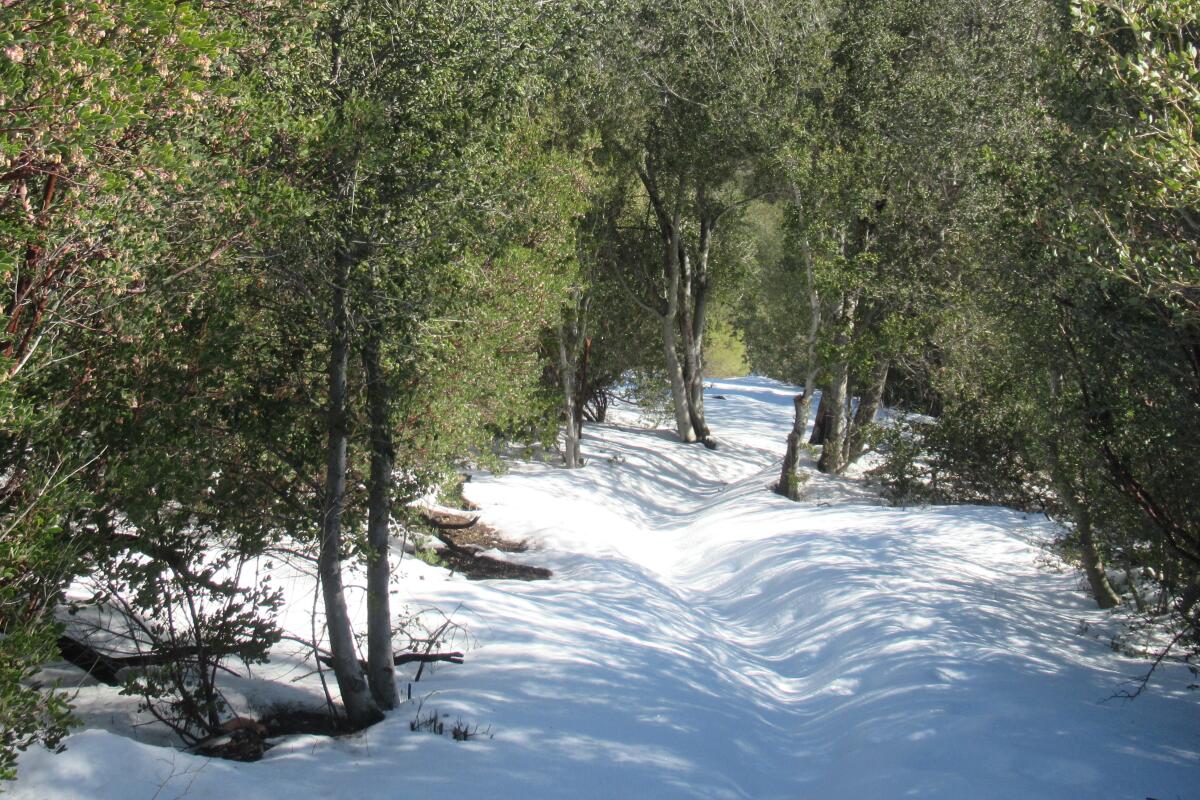
Cold Stream Trail to West Side Trail, Visitor Center Loop, Cuyamaca Rancho State Park
Park your vehicle at the visitor center and then head north on Cold Stream Trail. Directly behind the Visitor Center, be sure to stop and see the Kumeyaay Indian houses and replica village setting. The houses are called e’waa (ee-wah), the door openings offering an imaginary trip into native peoples’ homes. Continuing on Cold Stream Trail, be sure to stay to the left at the first trail intersection, admiring the meadow area on your left that is covered in snow. You’ll also get great views of Stonewall Peak up in front of you. As you snowshoe past the meadow area, you’ll begin to hear running water. That’s Cold Stream and if you’re curious, when you hear the rushing water get louder, go off trail and look for small cascading waterfalls. There are two along the way. From Cold Stream Trail, turn left over the little bridge and up on to Route 79/West Mesa Parking Area. Cross over Route 79 and then turn left onto West Side Trail, meandering your way south for a little over a mile to the trail junction that points you to turn left back to the Visitor Center. This is a 2½-mile loop.
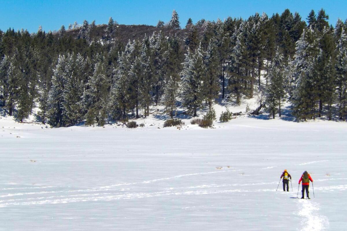
Big Laguna Trail, Laguna Mountain Recreation Area, Cleveland National Forest
Most people park at Mile Marker 19, the “kiosk area.” It can be very crowded and dodgy when trying to drive through this area, as both sides of the road are parked full well before noon when the snow is deep on the weekends, turning a two-lane mountain road into more of a one-lane road. Pro tip: If you plan to start your snowshoe adventure here, arrive within an hour or so after sunup, at the latest, to get a parking spot that is clearly off the road.
A nice outing that can get upwards of 8 to 10 miles long would be to start out on the main trail that goes directly to the snow-covered meadows. Do not take the first right turn/trail and do not go left onto Sunset Trail. Basically, stay straight. The main trail will be the most trammeled. Again, this can be confusing because the entire trail system is marked as Big Laguna Trail. If in doubt, ask someone.
You’ll descend through a wonderful pine forest and then it’ll open up into the meadows. Follow the circuitous trail as it wanders over in the direction of the Big Meadow area. You can snowshoe north along the west side of the meadow and then at the top, cross over on the trail and turn right, going down/south the east side of the meadow. Cross over/turn right at the dam area and then you’ll notice you’re back where you were earlier. Turn left and retrace your steps back up to your vehicle.
Again, there are other trails out there and all marked as Big Laguna Trail. If you’re adventurous, looking for a longer day of snowshoeing and if you have plenty of food and hydration, go for a day-long snowshoe trek around the Big Meadow area. Instead of singing, “Rocky Mountain High, Co-lo-ra-do” you can sing “Laguna Mountain High, San Di-eg-oh!” This can be anywhere from 8 to 10-plus miles, depending on what you want to do.
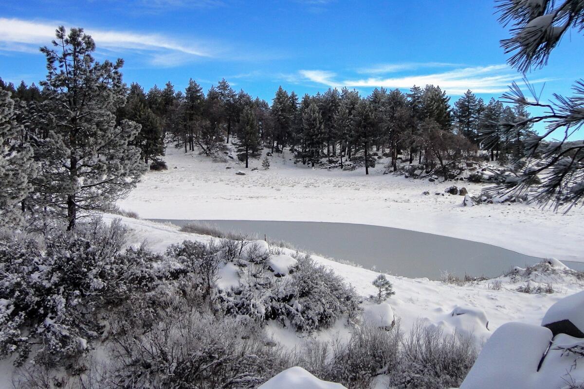
Sunset Trail to the Meadows Loop, Laguna Mountain Recreation Area, Cleveland National Forest
From the kiosk at Mile Marker 19 of the Sunrise Highway that is marked as “Meadows,” head out on the main trail and then turn left onto Sunset Trail. Up top and then on the backside, you’ll get great views of the surrounding mountains and be farther away from the crowd. As you descend back down to the meadows area, you’ll see a small pond called Water of the Woods. Here, you can turn right and then go back in the direction of your car, or you can turn left and continue on Sunset Trail, going again off the beaten path and continuing north to the other end of Big Meadow. This section of Sunset feels remote and it’s quite a site to see snow covered cactus while on it.
Once at the other end of Sunset Trail (about 4½ miles from when you got on it at the beginning), you can decide whether to go back down via the east or west side of the Big Meadow. Which is better? If it’s a windy day, I’d go down the east side, as there are more trees, mostly pines, to block the wind. If you want a sweeping view, take the west side and soak it in, along with the sun, if it’s shining bright.
If you do the loop, turning back at Water of the Woods, it’s about 3½ miles long. Completing all of the Sunset Trail and then going on the east or west side of the Big Meadow, is about eight miles round trip.
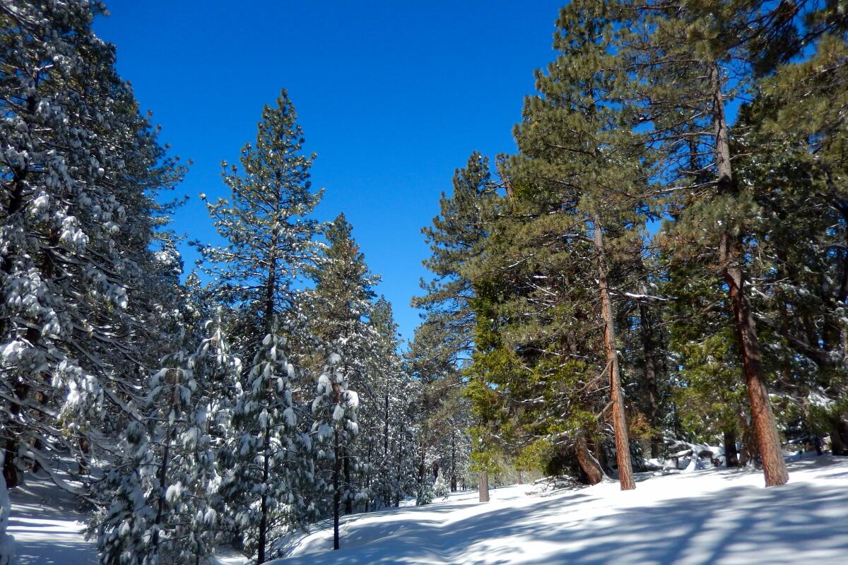
Old County Road to Chico Ravine Loop, Laguna Mountain Recreation Area, Cleveland National Forest
From the Meadows kiosk sign at Mile Marker 19 of the Sunrise Highway, head out on the main trail and take an immediate right on a connector trail that takes you to an old county road. Turn left on the old county road (it’s closed, meaning there’s no traffic on it) and walk your way in a gradual ascent over a mile or so to Chico Ravine Trail, which will be marked on your left. Take it and head down Chico Ravine, a breathtakingly beautiful, pine-forested slope with ephemeral water rushing through, which you’ll hear but probably not see. The trail opens up into the meadows at the bottom.
On your left, you’ll walk along a fencerow. When the fence turns left, you can too. Follow the trail until you see a turn-in on your left, over a cattle guard and through the fence. Take this trail back up to the main trail and then turn left on it, heading back to your vehicle at the kiosk area. This loop is a little over four miles long.
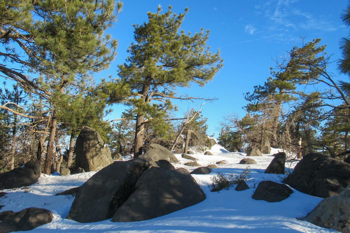
Wooded Hill Nature Trail Loop, Laguna Mountain Recreation Area, Cleveland National Forest
Simply put, it’s one of my favorite little trail systems in the Lagunas. You’ll probably have to park along the Sunrise Highway (since the gate from the parking area to Wooded Hill Road will be probably be closed), adding on another half mile or so round trip, bringing the total mileage to about two.
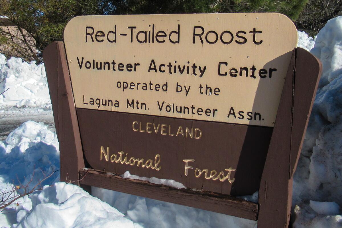
Red-Tailed Roost Trail, Laguna Mountain Recreation Area, Cleveland National Forest
Red-Tailed Roost trailhead has a parking area that is plowed out in winter. Head out clockwise on Red Tail, working your way up the side of the rise. Be sure to watch to your right, catching views of the Mount Laguna Observatory telescopes in the distance (they look like golf balls). The observatory is owned and operated by San Diego State University.
Work your way on Red-Tailed, where you’ll eventually descend to Escondido Ravine Road (forest road that is not open to vehicles). Turn right at this T intersection and wander along for a while until it comes to the trail junction with Red-Tailed Roost, turning right and climbing back up in the direction that you started. This is about a 4.75 mile loop, with a strenuous ending.
Penny Pines to Noble Canyon Trail, Laguna Mountain Recreation Area, Cleveland National Forest
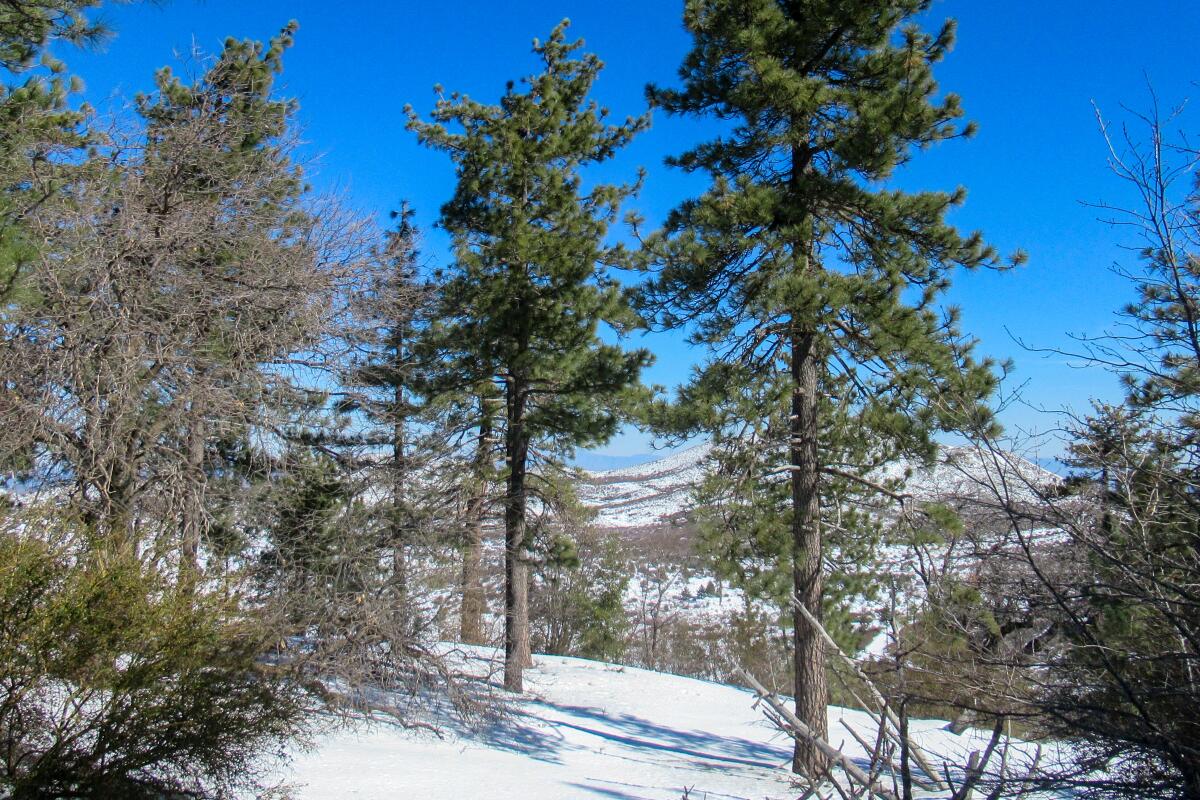
Park your vehicle at the well-marked Penny Pines Trailhead/Parking Area along the Sunrise Highway. On the west side of the highway is the Noble Canyon Trailhead. In a few hundred feet, go straight on Noble Canyon Trail. As you begin to ascend, keep watching on your right in the far distance. On a clear day, you’ll see snow-capped, 11,503-foot San Gorgonio Mountain, a.k.a. Old Greyback, which is the highest peak in Southern California.
Noble Canyon Trail will come to a four-way intersection. Go left, following the trail in the direction of the Big Laguna Trail/Meadows area. This connector trail will come to a T intersection. Go left to go back to your vehicle, which would be about a 2½-mile loop. Be sure to look up and out as you descend to see the desert-to-mountain landscape.
Note: You can turn right at the T intersection and head over to see the Big Meadow, adding on a little over a half mile or so round trip, bringing your total mileage to some three miles. Of course, you could add on as much as you’d like by exploring more of the meadows areas.
Sign up for This Evening's Big Stories
Catch up on the day with the 7 biggest L.A. Times stories in your inbox every weekday evening.
You may occasionally receive promotional content from the Los Angeles Times.


