The 14 best desert hikes in Southern California
- Share via
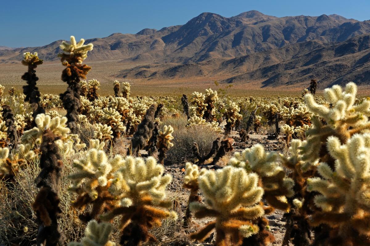
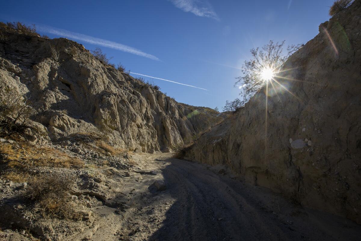
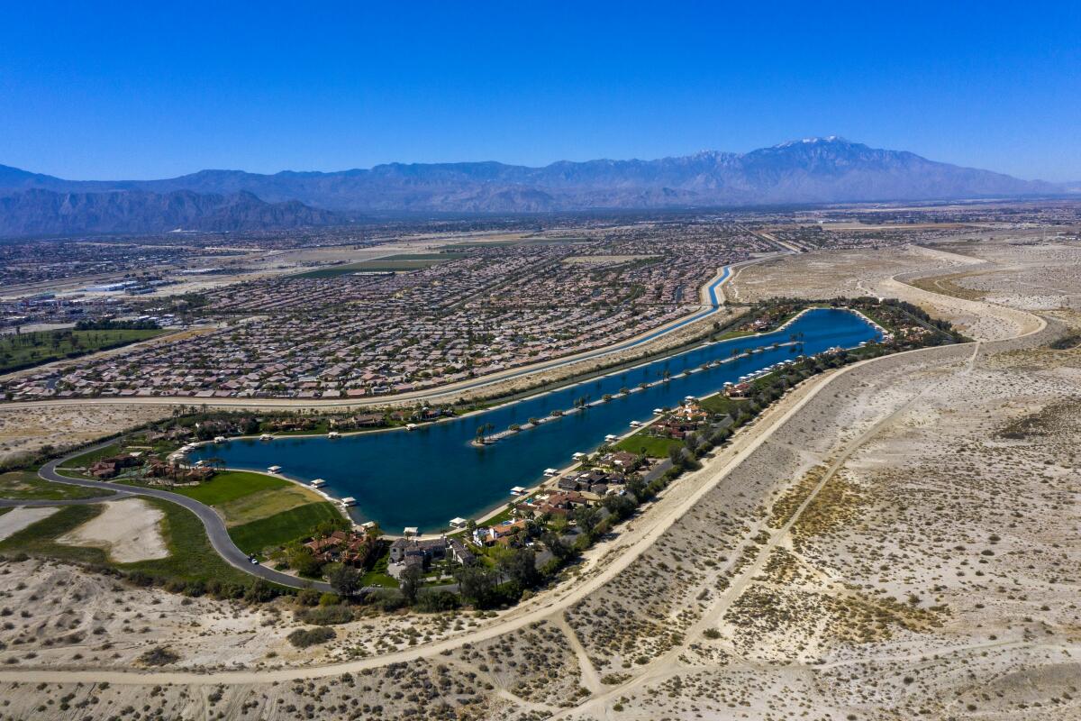
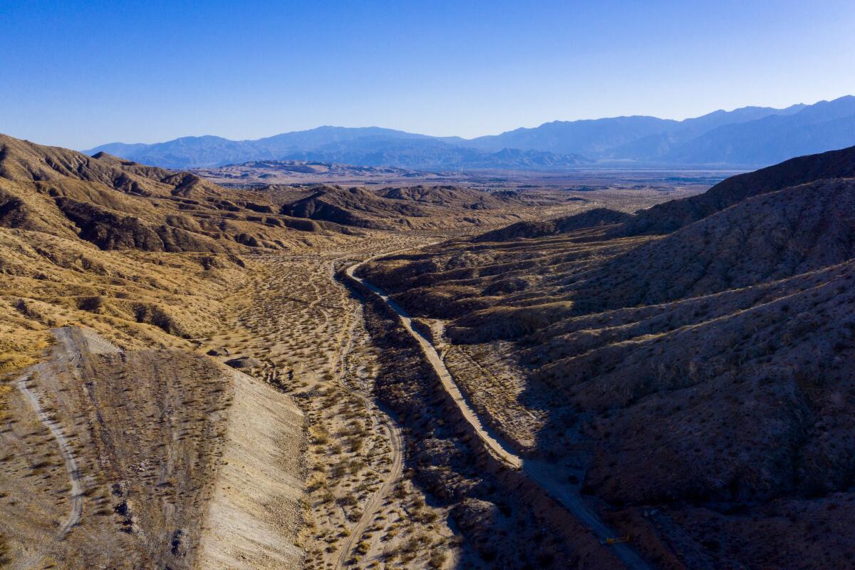
There are millions of acres of deserts to explore within driving distance of L.A. The big boulders at Joshua Tree National Park, the famed low point at Death Valley National Park, and the remote canyons of Anza-Borrego Desert State Park are woven into Southern California’s landscape. The best time to hike is in spring, late fall and winter when temperatures are cool and wildflowers may be abundant.
Here are trails we recommend for those who want to explore the desert on foot. For more trail options, see the 50 best hikes in L.A.
Amboy Crater
Start at the parking lot (free) at Crater Road and Route 66 in Mojave Trails National Monument. Directions to trailhead.
Willow Hole/Wonderland of Rocks
Start on the Boy Scout Trail near Quail Springs Picnic Area. Directions to trailhead.
Wall Street Mill
Park at paved lot, start at Queen Valley Road just past Barker Dam. Directions to trailhead.
Rattlesnake Canyon
Start at the Rattlesnake Canyon Picnic Area in Joshua Tree National Park, a little more than a mile east of Indian Cove Campground. Directions to trailhead.
49 Palms Oasis
Free parking in paved lot; start 1¾ miles south of California 62 off Fortynine Palms Canyon Road. Directions to trailhead.
Mesquite Flats
Start two miles east of Stovepipe Wells on California 190. Directions to trailhead.
Badwater Basin Salt Flats
Park in paved lot and start on trail 17 miles south of Furnace Creek off Badwater Road. Directions to trailhead.
The Slot
Start at the trail two miles north of California 78 near Buttes Pass Road. Directions to trailhead.
Hellhole Canyon
Park in the dirt lot (free) at Montezuma Valley Road, one mile south of Palm Canyon Drive. Directions to trailhead.

Kim Nicol Trail
Park and start at 20th Avenue and Corkill Road in unincorporated Desert Edge, east of Desert Hot Springs. Directions to trailhead.

Indio Hills Badlands Trail
Park and start at Golf Center Parkway in Indio. Directions to trailhead.

Long Canyon Trail
You may need to set up a car shuttle to complete the point-to-point trek. Check with the conservancy at cvmc.ca.gov to find out when this trail comes online. Directions to trailhead.
Zabriskie Point/Golden Canyon/Gower Gulch Loop
Park in paved lot, start five miles southeast of Furnace Creek in Death Valley National Park. Directions to trailhead.
Sign up for The Wild
We’ll help you find the best places to hike, bike and run, as well as the perfect silent spots for meditation and yoga.
You may occasionally receive promotional content from the Los Angeles Times.


