San Mateo County piers
San Mateo County piers
Johnson Pier at Pillar Point Harbor, Half Moon Bay
Overview: The L-shaped concrete pier is more utilitarian than recreational. Cars and trucks are permitted on it, and there is a fishery at the end, with a harbor seal or two begging for handouts. Four gangplanks run from the pier down to ramps along which boats are berthed. These are mostly private craft, though the Princeton Waters Maritime Salon (2-6 p.m. Wednesdays, 10 a.m.-4 p.m. Thursdays-Saturdays) invites passersby to stop.
Parking: Free in the lot at the foot of the pier.
Directions: Exit Highway 1 at Pillar Point Harbor, turn right and take the road to the harbor and pier.
Pacifica Pier
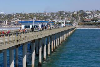
Overview: In the second edition of his book âPier Fishing in California,â Ken Jones called this the best pier in California for catching fish. The number of fishermen here would seem to confirm that, but for tourists, the allures of this 1,140-foot weather-beaten spot are fewer. Most notable is the cute, low-key Chit-Chat Café at the pierâs foot, which opens at 7 a.m. daily (âweather permitting,â says the sign on the door), serving soup, sandwiches, breakfast bagels and omelets, as well as information on which fish are biting.
Notable views: Views inland are more interesting, with rolling green hills tapering off to a craggy shoreline to the south.
Parking: Limited free parking on nearby streets.
Directions: Exit Highway 1 at Paloma Avenue/Francisco Boulevard off-ramp. Take Paloma to the coast, turn left on Beach Road. and follow it to the pier.
More: https://www.pacificapier.com
Oyster Bay Pier
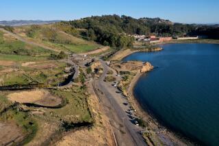
Overview: This 300-foot concrete pier, built in 1983, reaches out into a pleasant bay. Itâs a modest, homey spot, with a snack bar across the parking lot at the foot of the pier, plus a jogging trail that loops past the pier and grassy areas. Itâs a tranquil location heading into or out of San Francisco on the 101 Freeway, and a good locale for a picnic on a mild day to take advantage of the water and the ambience.
Notable views: There is a 270-degree view, including the planes taking off and landing at San Francisco airport. To the north, you can see the San Francisco skyline in the distance; Oakland is visible across the bay.
Parking: A dozen or so free parking spaces at the foot of the pier. A larger, free parking lot is nearby.
Directions: 101 Freeway to South San Francisco/Oyster Point Boulevard. Go one mile east and turn right on Marina Boulevard until reaching an office complex. At the far end of the complex, look for a sign to the marina parking lot. The pier is visible at the end.
-- Christopher Smith
More to Read
Sign up for The Wild
Weâll help you find the best places to hike, bike and run, as well as the perfect silent spots for meditation and yoga.
You may occasionally receive promotional content from the Los Angeles Times.
