Road trips from SoCal: Sierra Nevada
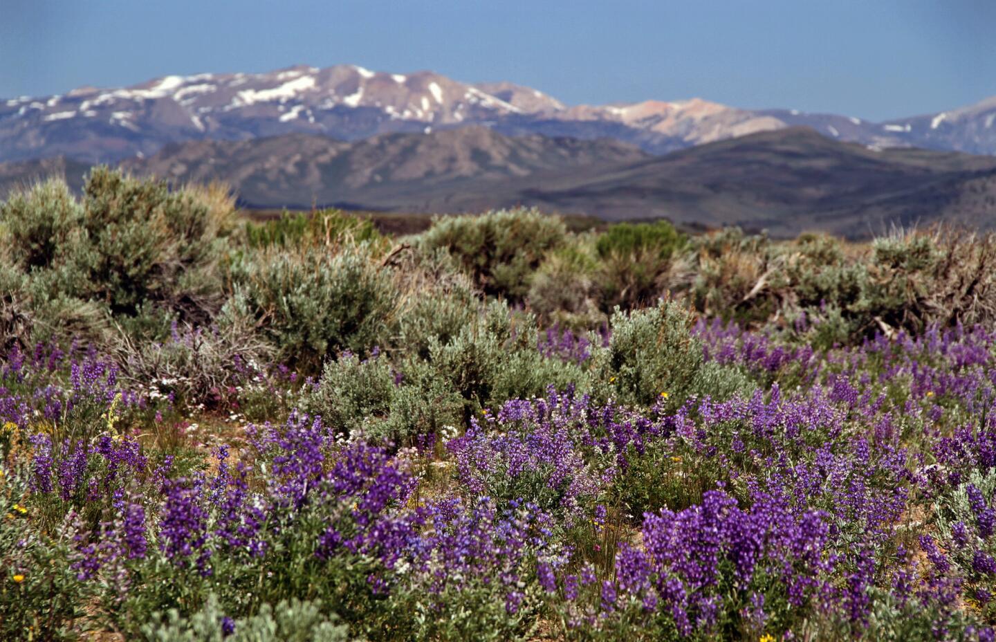
Stopping at Bodie State Historic Park is a must in this remote area of the Eastern Sierra south of Bridgeport, Calif. But to really appreciate the hills, visitors should take 18 scenic miles on the off-road Geiger Grade from high desert sage to little aspen groves that blaze yellow in the fall. (Tim Shisler / For The Times )
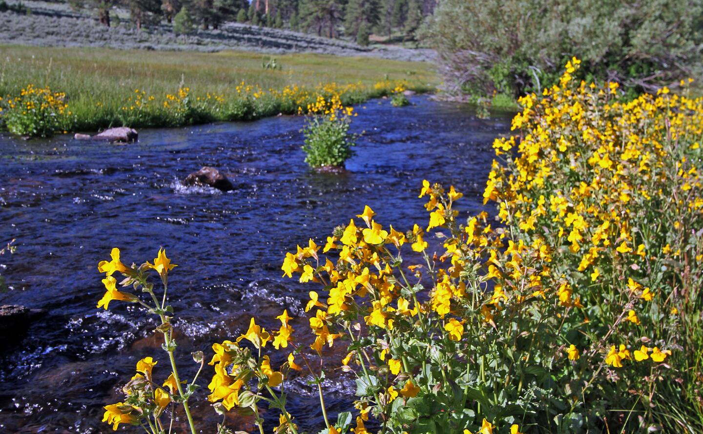
Sagebrush-covered flats and scattered juniper give rise to rocky slopes on the Modoc Plateau in the northeast corner of the state thatâs home to herds of wild horses and antelope. (Tim Shisler / For The Times )
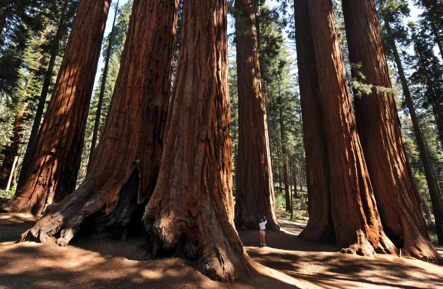
Established in 1890, Sequoia is the nationâs second-oldest national park after Yellowstone. The 406,425-acre park is home to some of the worldâs largest trees, including the famous Gen. Sherman tree. Avoid the crowds by visiting in the spring and fall. Park traffic peaks in July and August. (Mark Ralston / AFP/Getty Images)
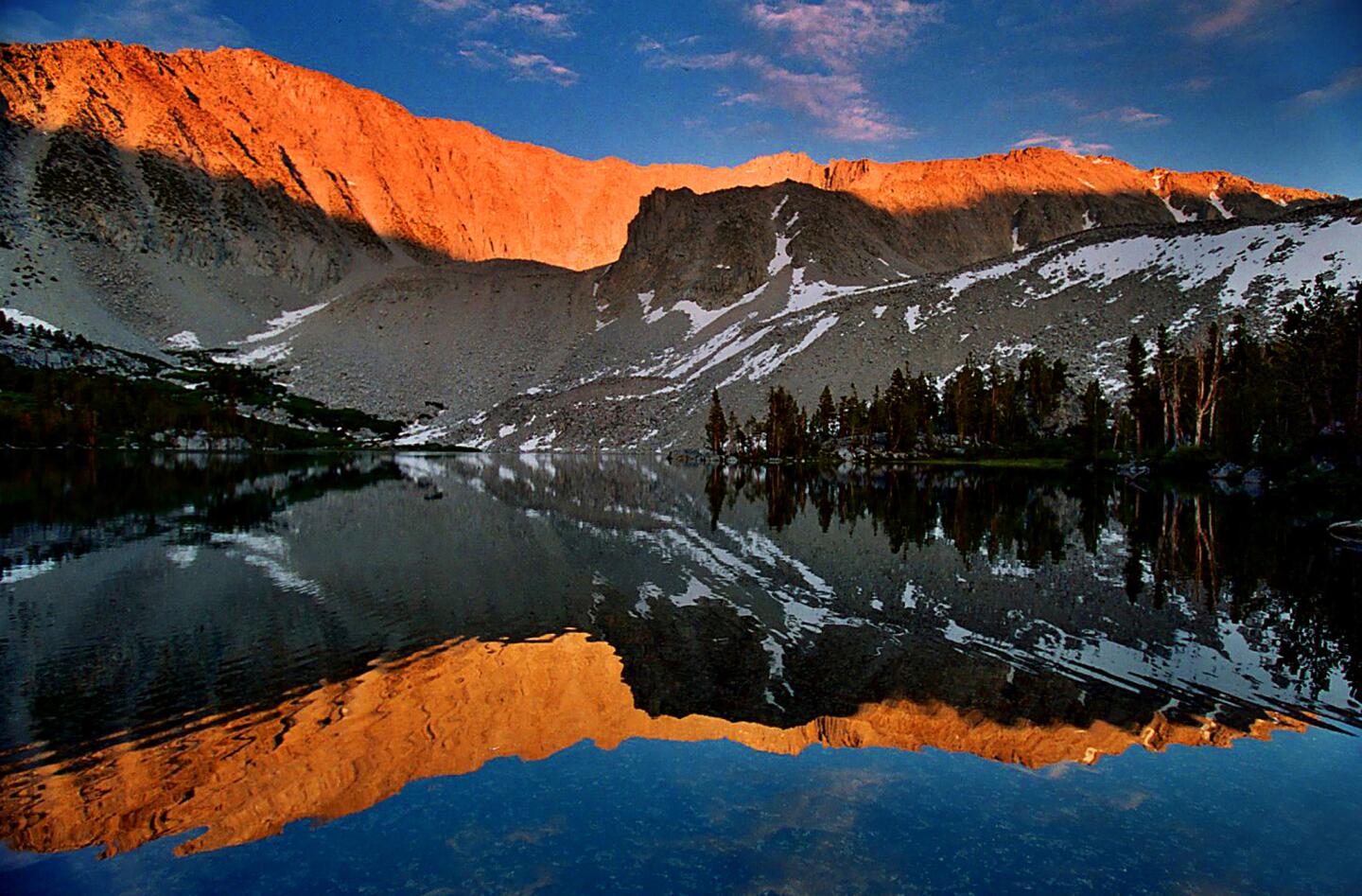
For hikers, the John Muir Wilderness, southwest of Mammoth Lakes, has few equals. With 590 miles of trails, dozens of pristine aquamarine lakes and the most spectacular peaks in the Sierra Nevada, this wilderness area exemplifies the beauty its namesake so prized. (Ken Hively / Los Angeles Times)
Advertisement
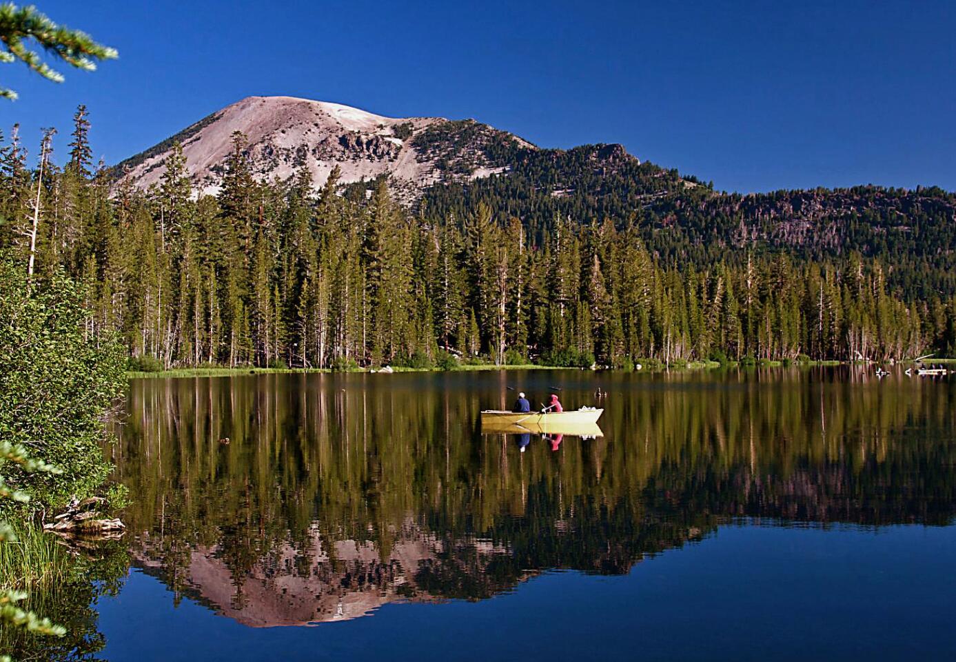
For skiing and snowboarding in winter, hiking and mountain-biking in summer. (Chad McDermott / Los Angeles Times)
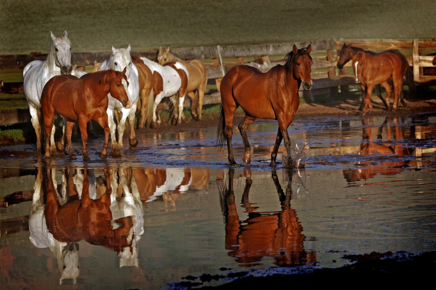
The heifers are acting surly, but my horse pushes forward. My young crew of 10 or so cowpunchers encircles about 30 head of cattle on a wide pasture in the shadow of a sawtooth mountain just west of Bridgeport. Our horses slowly lead the cattle toward a gate at the far end of the field. (Myung J. Chun / Los Angeles Times)
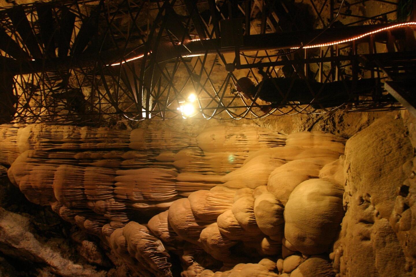
Distance: 378 miles one-way.
As I step off a 25-foot-tall wooden platform, a shrill scream nearly drowns out the high-pitched zipping sound of a metal trolley spinning along a half-inch metal cable just above me.
Legs flailing, hair blowing in the wind, a white-knuckle grasp on a harness, I fly at 40 mph toward a tiny tower, barely visible in the distance. A blur of trees, shrubs and hiking trails flies past my feet. Itâs all happening so fast that itâs hard to take in. If only that annoying girlie scream would stop.
Wait a minute. That falsetto is mine.
Then itâs over. Somehow I miraculously slow down and swing to a stop, and Iâm standing on the other tower, ready to do it again.
-- Hugo MartĂn
(Stephen Osman / Los Angeles Times)
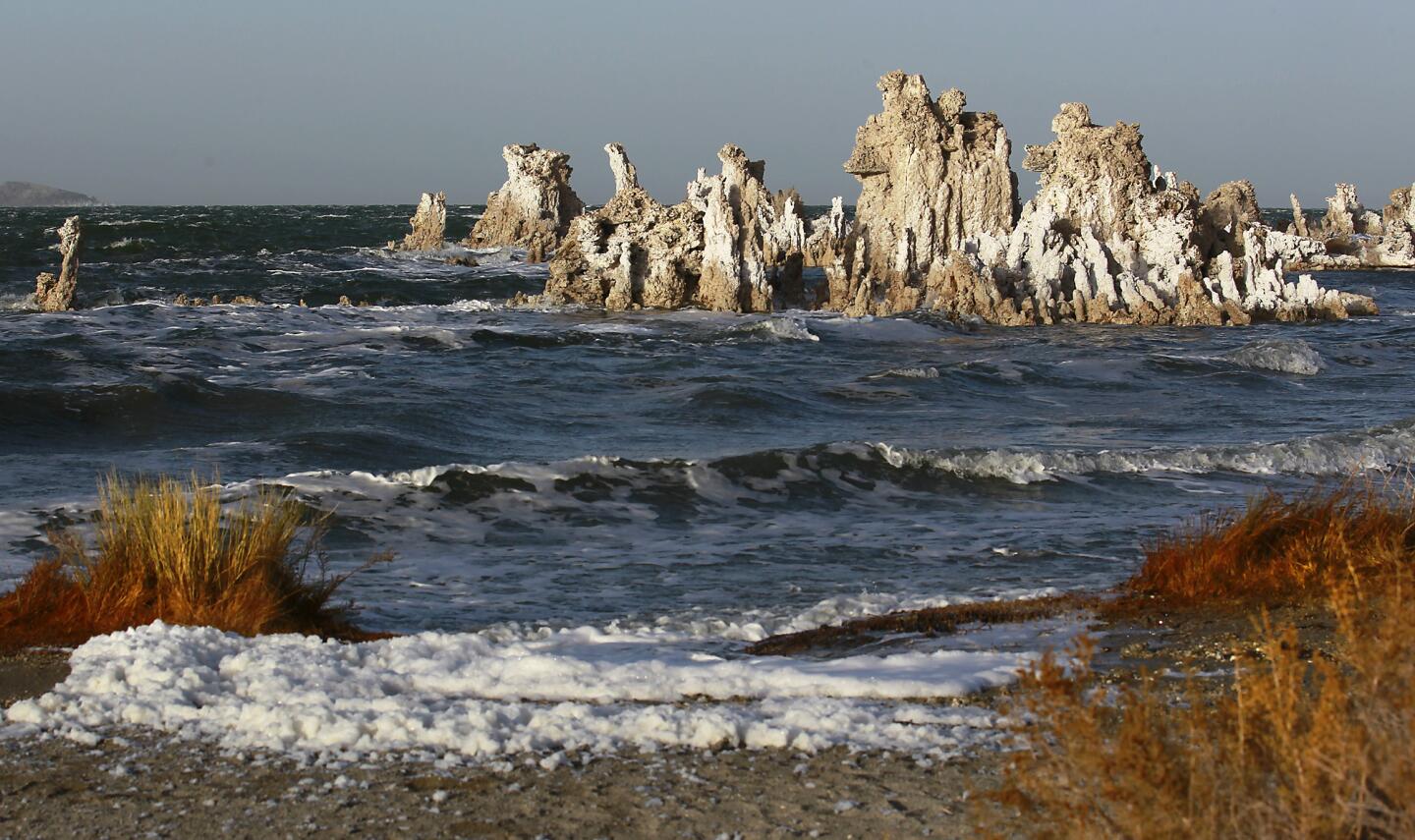
Distance: 333 miles one-way.
If you havenât seen a tufa tower (or donât know what one is), proceed immediately to Mono Lake, rent a kayak and paddle out to these bizarre turrets in this inland salt lake. Insiders know that this lake northeast of Yosemite is a perfect example of one of
Advertisement
Distance: 234 miles one-way.
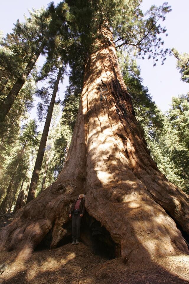
Some die-hard lovers of the great outdoors claim to appreciate the hardships of backpacking. But I felt plenty appreciative when I heard I could sleep on clean sheets and eat gourmet meals at a new luxury tent camp in Giant Sequoia National Monument.
Sequoia High Sierra Camp sits on 40 of the 49,000 acres of private land that was grandfathered into the monument.
-- Susan Spano
(Ricardo DeAratanha / Los Angeles Times)
Distance: 488 miles one-way.
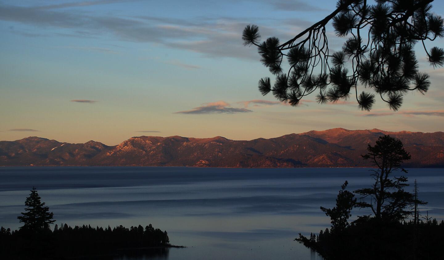
Positioned astride the
Contact: North Lake Tahoe Visitors & Convention Bureau, (800) 462-5196; Lake Tahoe Visitors Authority, (800) 288-2463 (AT-TAHOE); www.visitinglaketahoe.com (Brian van der Brug / Los Angeles Times)
Distance: 488 miles one-way.
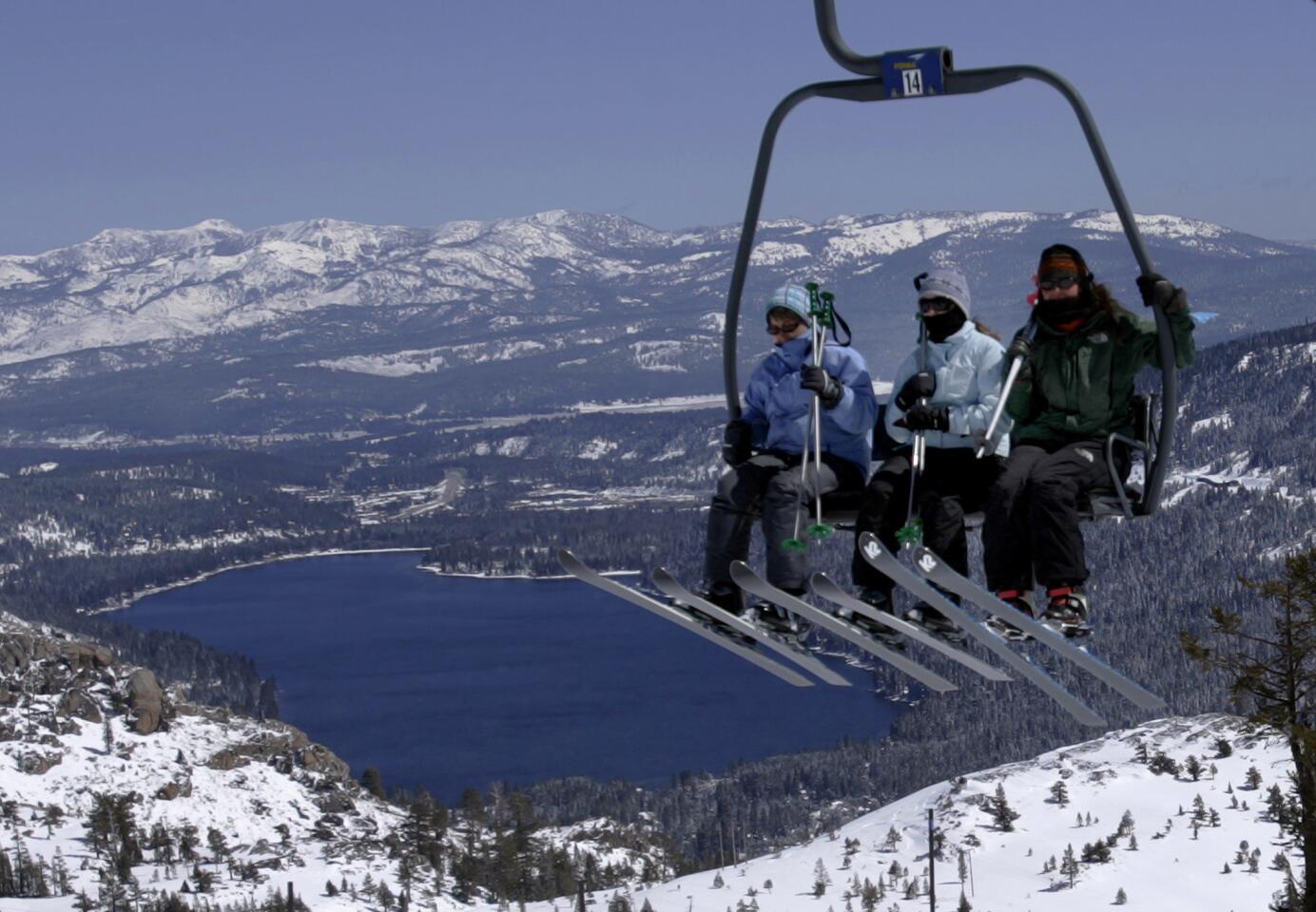
The sign on the shoulder of U.S. 40, west of Truckee, says itâs âOld School Thursdayâ at Donner Ski Ranch, lift tickets $10 a day. They must be pretty desperate to offer tickets that cheap, I think as I pull into the rutted parking lot that is only a quarter full. Itâs late January, the mountains are covered with snow, and ski season is well underway.
Talk about old school. The main lift to the summit is manned by a middle-aged guy in a thick flannel jacket, jeans and hiking boots. His long gray hair sticks out from under a baseball cap. The lift is a renovated three-seat chair that moves as if itâs being pulled by a team of mules.
--Hugo Martin
(Gina Ferazzi / Los Angeles Times)
Distance: 310 miles one-way.
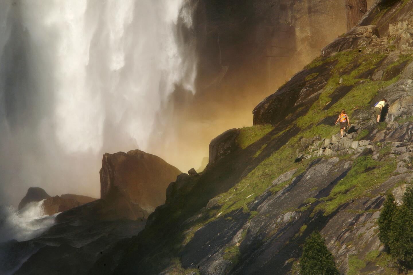
Maybe itâs because Iâm punchy. Itâs been a trying day, 10 hours on the road. The babies got carsick in the mountains, and one threw up rather spectacularly. After arriving at Upper Pines campsite, I had to back the 26-foot Airstream trailer into a tight space between trees, in the dark, a nerve-racking man audition with a gathering audience of seasoned and skeptical RVers shouting advice: âCut the wheels to the left. . . . The other other left!â
--Dan Neil
(Mark Boster / Los Angeles Times)
Advertisement
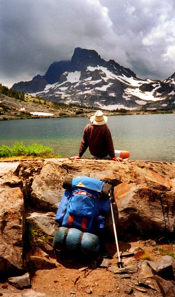
Distance: 305 miles one-way. Ask folks whether theyâve been to the Sierra, and theyâll likely cite a well-tromped trail in Yosemite. But plunge deeper into Californiaâs iconic backyard and you get to Thousand Island Lake, a spot around 10,000 feet above sea level where teensy granite islands glitter in the sun, where alpenglow bouncing off Banner Peak rivals the Northern Lights, where you could spend slack-jawed hours staring at the landscape. Ansel Adams snapped it; John Muir dubbed it âIslet Lake.â Do it as a day hike, or sleep over to catch the light show over the lake at dusk and dawn. Far from Mt. Whitneyâs crowd, the lake showcases the Sierra stun factor. Quietly. Info: Thousand Island Lake is seven miles from the Agnew Meadows Trailhead off California 203 near Mammoth Mountain. Camping permit required. Inyo National Forest, (760) 873-2400, www.fs.fed.us/r5/inyo/. -- Mary E. Forgione (Ken Hively / Los Angeles Times)
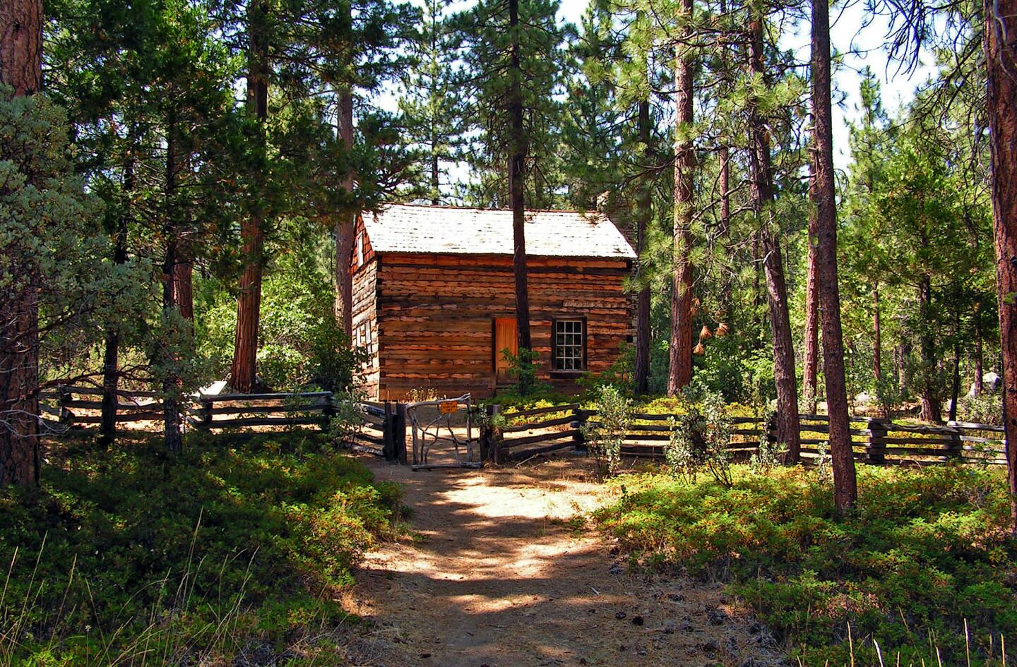
Distance: 263 miles one-way.
So where is this drive? The seasonal loop swings within 20 miles of the southern entrance to Yosemite National Park -- which, admittedly, has more spectacular natural formations -- but you feel eons away from the hordes at Half Dome.
--Mary Forgione
(Mary Forgione / Los Angeles Times)
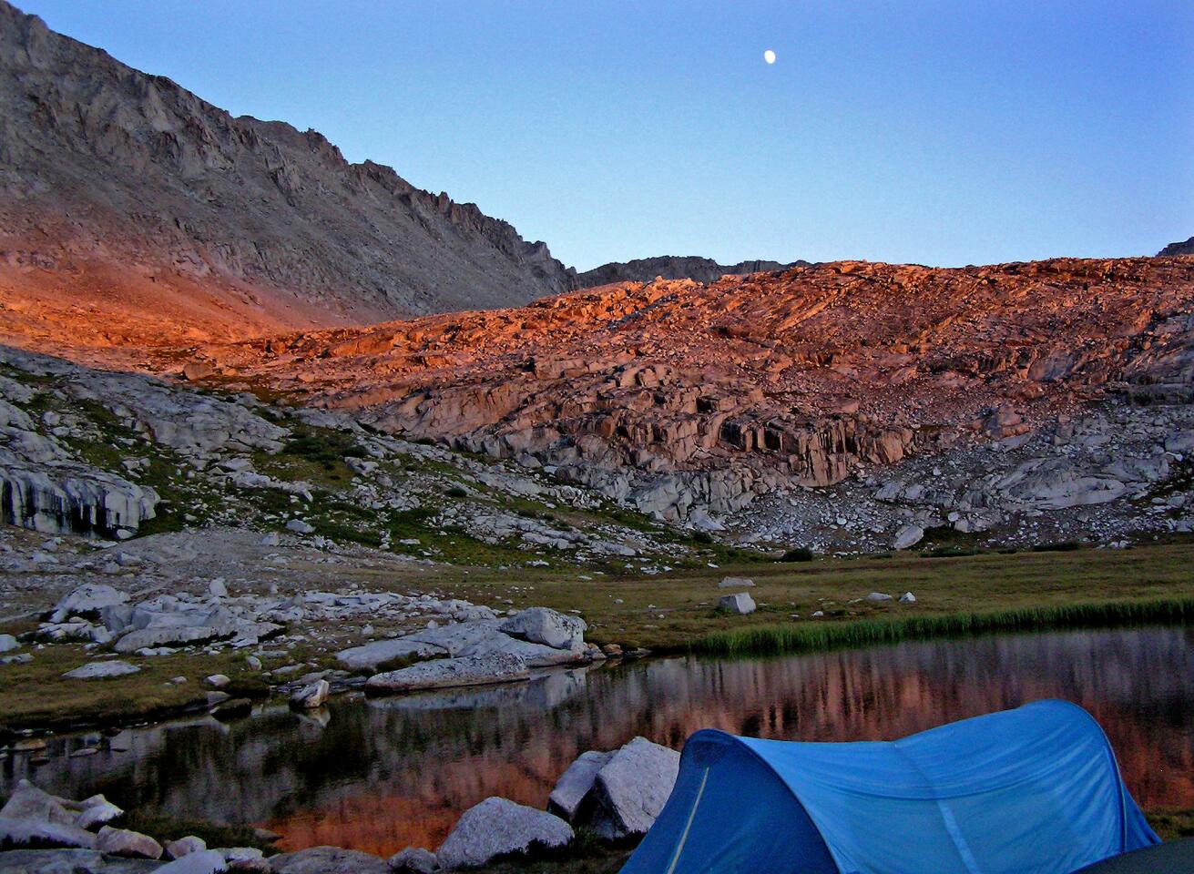
Distance: 221 miles one-way.
ItÂs the highest point in the lower 48  14,497 feet above sea level  and just 76 miles west of Badwater as the crow flies, 135 miles as the ultra-marathoners jog, walk and crawl. Intimidated by the climb? Take a little hike from the Whitney Portal Store at the trailhead instead.
Contact: Inyo National Forest, (760) 873-2400, www.fs.fed.us/r5/inyo/ or www.whitneyportalstore.com (Jacquie Kaner / For The Times)


