Devastating floods might be more common than we thought, study says

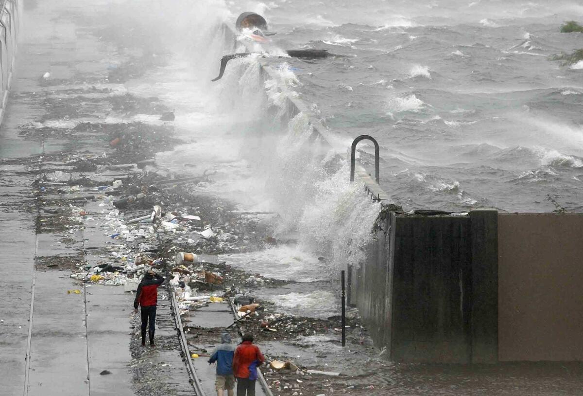
The chances of heavy rainfall and high storm surges occuring in tandem is increasing, which puts U.S. cities at greater risk of flooding, researchers say. Above, water flows over the Industrial Canal floodwall in New Orleans in 2008.
- Share via
Keep the sandbags handy. Previous flood assessments have underestimated the actual risk of dangerous floods in many parts of the country, according to a new study. By looking back at the historical weather records, researchers have found an important synergy between two flood risk factors in coastal zones that has often gone overlooked.
In the past, engineers usually determined flood risk for coastal areas by looking at the separate probabilities of intense rainfall and the especially high seas caused by raging wind, called storm surges.
But some of the worst floods in coastal areas are caused by the unfortunate concurrence of big storm surges with high rainfall – a double-whammy for flooding, because it can result in the sea spilling over onto land while rivers and urban drainage systems overflow onto the streets.
By examining these two phenomena together, researchers showed that heavy precipitation and high seas are occurring in tandem more often in many coastal cities, especially along the Gulf and Atlantic coasts of the U.S. The results were published this week in Nature Climate Change.
“This is an important yet less studied aspect of vulnerability along the coastline,” said Shaleen Jain, a civil and environmental engineer at the University of Maine and one of the authors of the study. Nearly 40% of the U.S. population lives in coastal counties, researchers noted.
The scientists combed through historical records of rainfall, tide gauge readings and hurricane tracks dating back to 1900 for 30 port cities around the continental United States. They noted all the instances where high storm surges corresponded to strong rainfall.
Neither the frequency of big storm surges nor heavy rainfall alone have changed dramatically since 1900, but the probability of them occurring at the same time – and the resulting devastating floods – has shown a marked increase in many U.S. cities, said Thomas Wahl, a coastal engineer at the University of South Florida and the lead author of the study. These cities include Boston; New York City; Tampa, Fla.; Houston; San Diego; Los Angeles; and San Francisco.
In New York City, for example, the risk of a severe flood today caused by both storm surge and strong rainfall is more than twice as likely as it was in the early part of the 20th century, Wahl said.
In the 1940s, extreme flooding caused by very high seas combined with intense rain used to have a probability of happening every 105 years, whereas now it has a probability of happening every 42 years, the researchers found. And if the risk of severe flooding from rainfall and storm surges were calculated separately for New York City, as traditionally has been done, it would drastically underestimate the risk of severe flood, putting the probability at once every 245 years.
It’s not clear why high storm surges and heavy rains are coinciding more now than they did in the past, Jain said, though some possibilities include more frequent tropical cyclones, sea level changes, or weakening of the Gulf Stream.
Based on a recent report from the Government Accountability Office about the Army Corps of Engineers’ efforts to assess the impacts of extreme weather events, it’s likely that many of the nation’s coastal cities are unprepared for today’s frequency of severe floods. Many of the structures meant to prevent floods, like dams, levees and hurricane barriers, are outdated.
“Much of the Corps infrastructure was built over 50 years ago and may not be designed to operate within current climate patterns,” the report states.
For more science news, follow me on Twitter @sasha_hl and “like” Los Angeles Times Science & Health on Facebook.
ALSO:
Pushed by El Niño, California faces days of dangerous weather
Fires followed by floods: California faces dramatic climate year with El Nino, drought
Texas floods: Water ‘lapping at the front doors’ as evacuations get underway


