What we should do with all that rainwater
- Share via
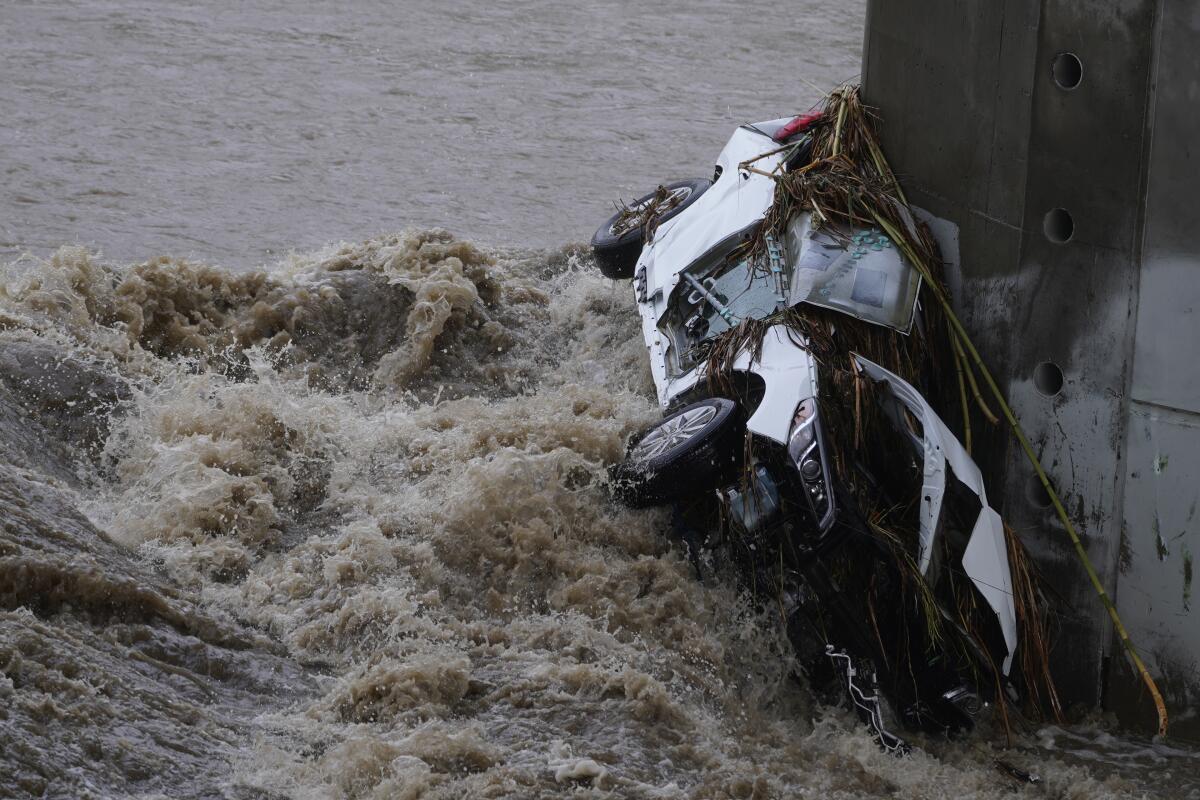
More rain is expected in Southern California later this week, although not a downpour of the magnitude that dropped up to five inches on parts of the region on Tuesday and broke the 1888 record for the wettest Dec. 14 in downtown Los Angeles.
A day earlier, the same storm hit Northern California and dropped up to 10 feet of snow in some of the higher elevations of the Sierra Nevada.
That’s the typical winter storm pattern for California: The north gets a majority of the precipitation and usually gets it the day before we do in the south because of the state’s geography. The storms move not just southward but eastward, and Southern California lies significantly east of the northern part of the state (it’s counterintuitive, but Los Angeles is east of Lake Tahoe).
As the March rains loosen more Southern California mud and fill more Northern California reservoirs, the state still flirts with drought and we still run short of water.
Each of the regions also has very differently oriented mountain ranges. The result is that different water policy decisions apply in the north and the south, as well as different human mistakes that require different — although complementary — solutions.
In Northern California, winter storms drop their rain in coastal and inland areas before running into the Sierra Nevada mountains. Blocking the storms’ path, the Sierras force the east-moving, moisture-bearing air to higher, colder elevations, where the water falls as snow.
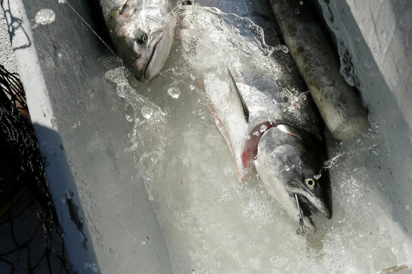
Because the Sierras run roughly north-south, their slopes face west and east. That’s where the sun shines weakest on short winter days, so historically, that orientation left the snowpack cold enough to stick around until longer and hotter days in the spring, when the sun’s angle on the slope is more direct and the air is warmer. The result was steady snowmelt that fed California’s two great rivers, the Sacramento and the San Joaquin, and made them highways for migratory species like Chinook salmon.
But climate change is making precipitation less predictable, and when it does come, it lands on slopes that are now often hot earlier in the year and can’t be counted on to hold the snowpack through the winter and spring.
California is not merely a political jurisdiction drawn on a map.
Northern Californians, and those of us in the south who import their water, have built a system that captures as much of the Sierra runoff as possible for human use. But as the water now comes less predictably and agriculture diverts more, the streams that feed the rivers are drying up, driving salmon and other species closer to extinction.
Leaving enough water to flow out to sea to sustain the salmon (and the fishing industry) is a wise policy that nevertheless is described by agricultural interests as if “their” water is being flushed down the toilet.
In October, Gov. Gavin Newsom wisely (finally) scrapped flailing talks over how much water to leave in the San Joaquin River and its tributaries, and that’s a good thing. Those decisions should be based on biology, not the sham negotiations that allowed the agriculture industry to delay givebacks. A similar quest to reach “voluntary agreements” for the Sacramento River also should end, in favor of letting the state Water Resources Control Board do its job by setting science-based flow rates that give the environment a fighting chance.
Everything’s different in Southern California. Here, the mountains are closer to the coast and run east-west. Although we do get snow on the San Gabriel and San Bernardino mountains, it rarely lasts long because the slopes face southward and absorb the full might of the sun in the winter as well as the summer. Snowmelt and rainwater rush down the Los Angeles and San Gabriel rivers in vicious winter torrents that last a few days before leaving the riverbeds almost dry once again.
There comes a point in “Water and Power” — Richard Montoya’s 2006 play about two brothers, conspiracy, corruption and Los Angeles — when a shadowy “Fixer” steals the soul of a young Latino state senator.
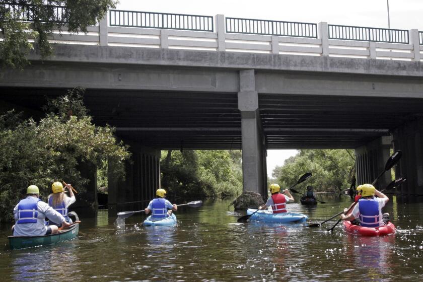
As a consequence, Los Angeles County was engineered differently from the north. Here, instead of capturing the water to use it, it comes so fast and fierce that we have diverted it to concrete channels to get rid of it as quickly as possible before it can flood communities.
But in adjusting to a warming planet and more frequent droughts, and recognizing the damage done by channelizing our local rivers, we are going to have to reverse that a bit. We’re going to have less water to count on from Sierra snowmelt and aqueducts, so we’ll have to hold on to more of our own.
Water-capture projects funded by 2018’s Measure W are intended mostly to keep urban pollutants out of Santa Monica Bay. It’s a good start, but the broader goal should be to collect and clean more of that water for urban use. Studies have proposed projects like the East Valley Stormwater Capture Program to collect runoff from nine parks in Pacoima, North Hollywood and Valley Village, and funnel that water into underground basins that will recharge the region’s groundwater aquifer. Construction begins next year. Similar projects are planned for other parts of the region, using parks, street medians and other sites as collection points.
But the need is great and we have to move faster. Many of these projects were in the planning phase decades before Measure W and are only now coming to fruition.
We’re likely to see more record-breaking rainfall like Tuesday’s, punctuating periods of continuing drought like the current one that grips the state despite the storms. Coping will mean directing more water to the sea in the north and holding on to it more in the south. It can be done — if we devote our resources to projects designed for new climate patterns and not for the California of the century past.
More to Read
A cure for the common opinion
Get thought-provoking perspectives with our weekly newsletter.
You may occasionally receive promotional content from the Los Angeles Times.
