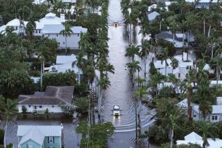
Now a hurricane, Hermine barrels toward Florida Gulf Coast
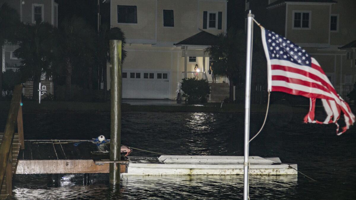
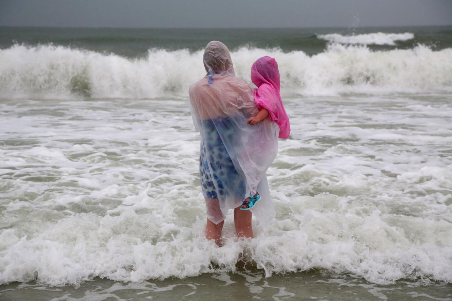
Reporting from Atlanta ŌĆö Residents along a long curve of the Florida Gulf Coast scrambled to evacuate Thursday as Hurricane Hermine intensified in the Gulf of Mexico and the state braced for the Category 1 storm.
Hermine is forecast to make landfall around the low-lying, marshy Big Bend region of the Florida Panhandle about 2 a.m. Friday, the first hurricane to strike the state in a decade.
By Thursday afternoon, sustained winds had climbed over 75 mph, and meteorologists expect them to strengthen further before hitting the coast.
In Hawaii, meanwhile, heavy rains fell, and strong waves pummeled shorelines as a downgraded yet potent Pacific storm passed near the island state.
If Hermine maintains its strength, it will be the first hurricane to strike the state since Wilma hit just south of Marco Island in southwest Florida in 2005, killing five people and causing $20 billion in damage.
ŌĆ£The bottom line is this hurricane is life-threatening,ŌĆØ Gov. Rick Scott said in a noon briefing at the State Emergency Operations Center in Tallahassee. ŌĆ£We have not had a hurricane in years.... WeŌĆÖre going to have storm surge, wind, rain. WeŌĆÖre going to have flooding. All of this together, and parts of it by itself, is life-threatening.ŌĆØ
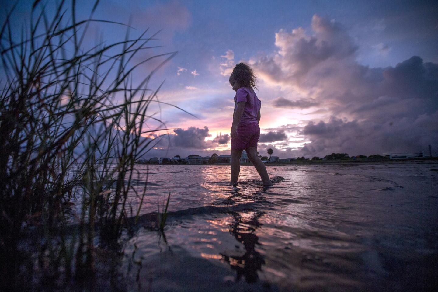
As the National Weather Service in Tallahassee forecast a storm tide of up to 9 feet that could lead to flooding, mandatory evacuations were in effect across low-lying, coastal areas of Franklin, Wakulla, Taylor, Dixie and Levy counties. Voluntary evacuations were issued along the coast of Walton, Gulf and Jefferson counties.
Scott declared a state of emergency for 51 counties Wednesday. On Thursday morning, Georgia Gov. Nathan Deal signed an executive order declaring a state of emergency for 56 counties in south, central and coastal Georgia.
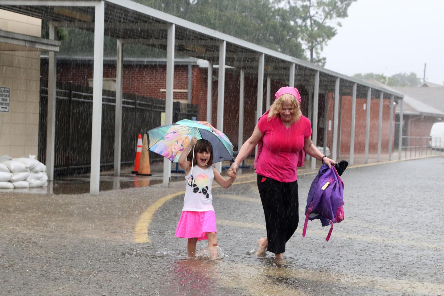
ŌĆ£WeŌĆÖre right in the target, directly in the bullŌĆÖs-eye,ŌĆØ said Steve Spradley, director of emergency management for FloridaŌĆÖs Taylor County, as a slow, steady rain soaked his region in the bend of the panhandle. ŌĆ£ItŌĆÖs quiet. WeŌĆÖre just sitting and waiting and planning.ŌĆØ
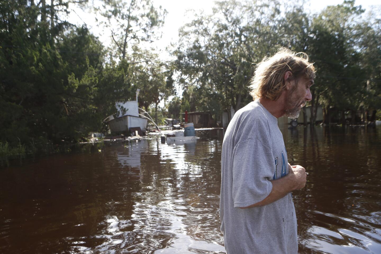
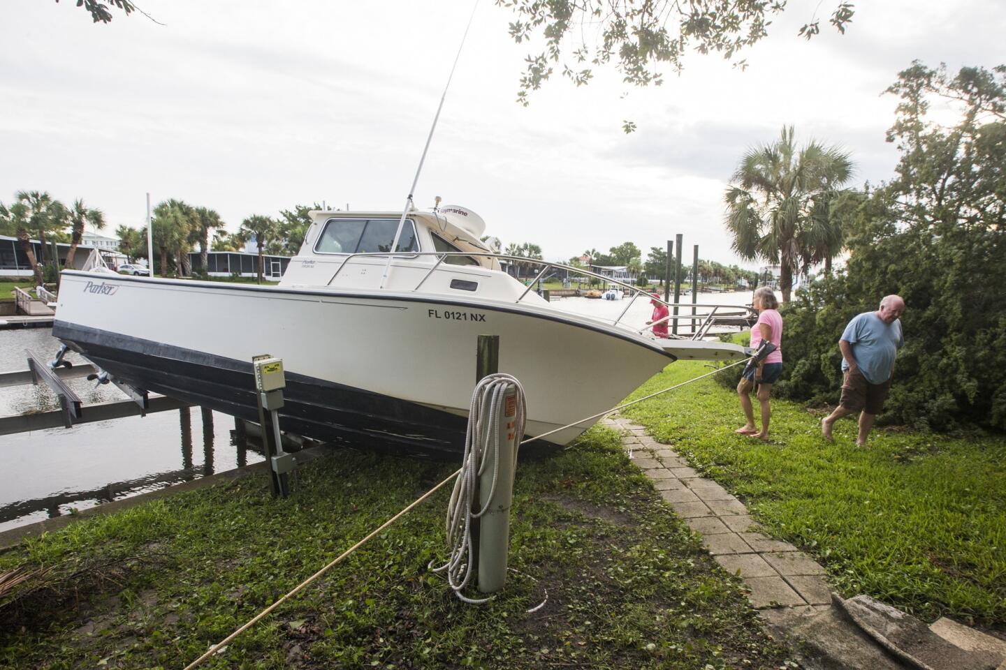
By the middle of Thursday afternoon, Spradley said, his countyŌĆÖs shelter was deserted. With an evacuation order already in place for 24 hours, many residents of the fishing communities across the coast had already pulled their RVs and boats to higher ground and evacuated to family and friendsŌĆÖ homes. Summer homes on stilts were abandoned.
Although some of the old-timers might not be overly concerned, Spradley said emergency officials had worked hard to persuade everyone to prepare.
ŌĆ£All it takes is just the right wave and the right gust of wind to ruin their day,ŌĆØ he said. ŌĆ£And an ambulance wonŌĆÖt come to them if weŌĆÖve got hurricane-force winds. TheyŌĆÖll be on their own.ŌĆØ
After a Thursday morning briefing from Bryan Koon, director of the Florida Division of Emergency Management, and the National Hurricane Center, Scott warned that the state would start to see ŌĆ£severe effectsŌĆØ about 6 p.m.
Floridians, Scott urged, must act immediately to protect their families, securing three days of food and water, as well as medicine, batteries and flashlights. Even with thousands of National Guard troops prepared to mobilize, individ- uals have to do their part, he said.
ŌĆ£Just remember: We cannot rescue you in the middle of a storm,ŌĆØ Scott said. ŌĆ£You are responsible.
ŌĆ£Charge your cellphone,ŌĆØ he added. ŌĆ£You have no idea when youŌĆÖre going to lose power. You could be out of power for days or weeks.ŌĆØ
By 8 a.m. Thursday, Hermine was less than 200 miles southwest of Apalachicola, Fla., heading north-northeast at 12 mph.
The National Hurricane Center predicted steady intensification during the next 24 hours, with danger of ŌĆ£life-threatening inundationŌĆØ from Aripeka to Indian Pass. The storm was declared a hurricane about 3 p.m.
After hitting the Gulf Coast, Hermine is expected to veer northeast, bringing gusty winds and heavy rain into southern Georgia before continuing up the East Coast.
Hurricane and tropical storm warnings and watches also were in effect for northwest Florida, southwest Georgia and southeast Alabama. A tropical storm watch was in effect on the East Coast from Marineland, Fla., to South Santee River, S.C.
The most serious threat is on the coastal areas around the Apalachicola Bay, with potential storm surges as high as 9 feet from Apalachicola to Horseshoe Beach, said Jeff Fournier, a meteorologist with the National Weather Service in Tallahassee.
ŌĆ£ItŌĆÖs very shallow, and the concave shape of the coastline make it very prone for storm surge,ŌĆØ he said.
Inland, extremely heavily rainfall, with possibly 15 to 20 inches in the Tallahassee area, could cause heavy flooding. Although winds arenŌĆÖt expected to lead to extreme structural damage, they could knock out utility lines and topple trees.
Fournier said Hermine had the potential to cause as much damage as Hurricane Kate, a Category 2 storm that came ashore with winds of 100 mph near Mexico Beach, Fla., in 1985.
ŌĆ£We have 70 miles of coastline and two barrier islands, so basically anybody living along the coastline has been told to evacuate,ŌĆØ said Pamela Brownell, director of Franklin County Emergency Management, who was coordinating emergency efforts Thursday morning at an airport near Apalachicola.
ŌĆ£We canŌĆÖt stop it. All we can do is prepare and hope our residents have listened and gotten out.ŌĆØ
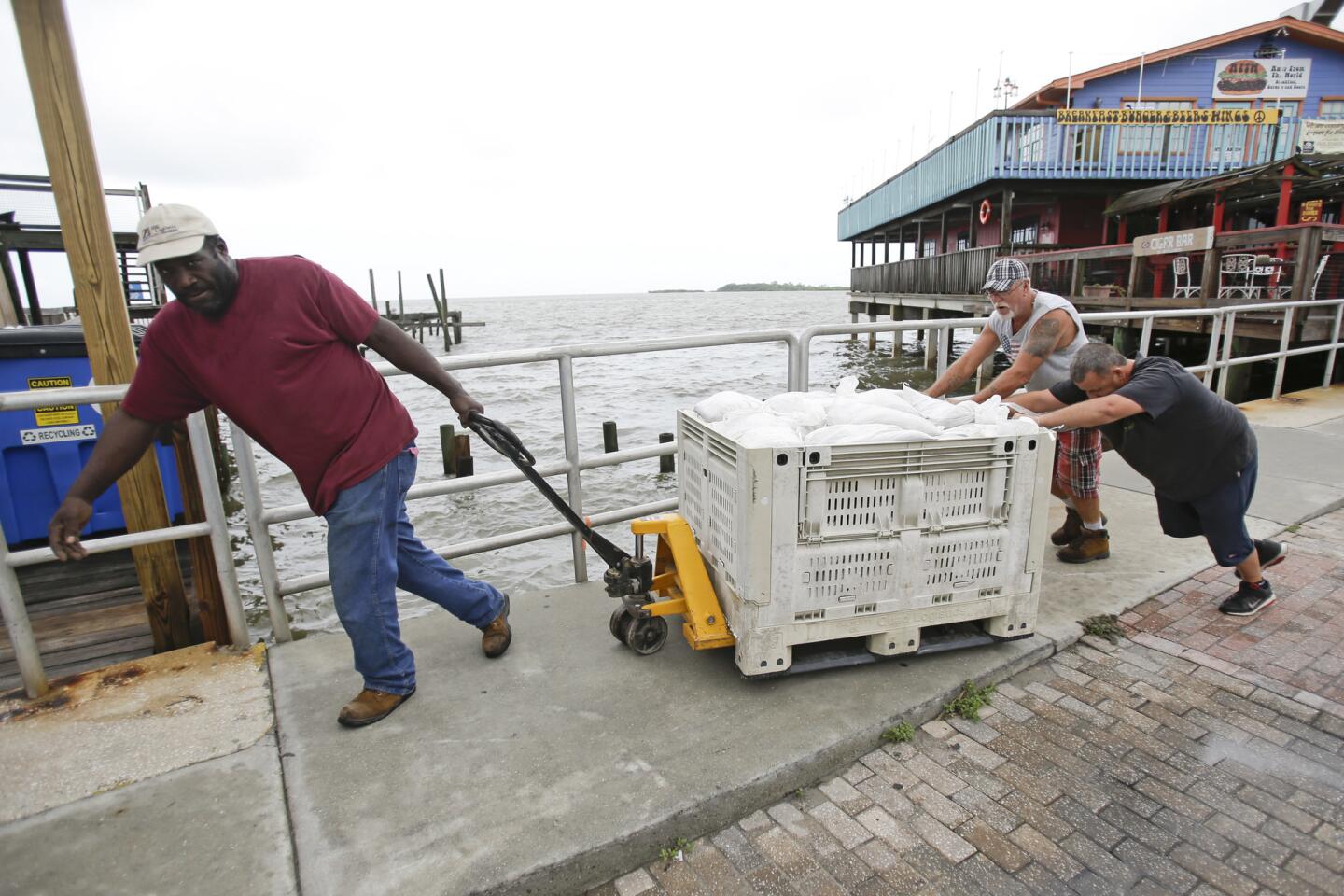
By Thursday morning, most residents had boarded up windows and placed sandbags around their homes.
Still, Brownell said, one resident had just called to inquire about carrying sandbags back to St. George Island, a barrier island that was supposed to have been evacuated.
ŌĆ£We started with sandbags Monday,ŌĆØ she said wearily. ŌĆ£But human nature is to wait until the last minute.ŌĆØ
Though Tropical Storm Madeline no longer was a hurricane, the weatherŌĆÖs uncertainty couldnŌĆÖt let HawaiiŌĆÖs Big Island relax.
There were periods of intense rainfall Wednesday as the National Weather Service downgraded Madeline, with winds falling below hurricane strength of 74 mph.
Wind speed diminished steadily throughout the day, and by 11 p.m., it was swirling at 50 mph. Forecasters said continued weakening was expected.
MadelineŌĆÖs center was about 200 miles south of Hilo and moving west-southwest and away from the state at 14 mph.
The Associated Press contributed to this report
ALSO
Dodgers plan to promote banished outfielder Yasiel Puig
Security robots are already patrolling parking lots; next, our neighborhoods?
Framed: She was the PTA mom everyone knew. Who would want to harm her?
UPDATES:
2:40 p.m.: This article was updated with information about the stormŌĆÖs intensity.
1:25 p.m.: This article was updated with information from county officials.
10:20 a.m.: This article was updated with comments from Florida Gov. Rick Scott.
9:20 a.m.: This article was updated with new details about the stormŌĆÖs progress in Florida.
6:30 a.m.: This article was updated with new details about the stormŌĆÖs progress in Florida.
3:25 a.m.: This article was updated with reporting from Hawaii.
More to Read
Sign up for Essential California
The most important California stories and recommendations in your inbox every morning.
You may occasionally receive promotional content from the Los Angeles Times.
