Big storm brings rain, snow -- and dramatic lightning over Golden Gate Bridge

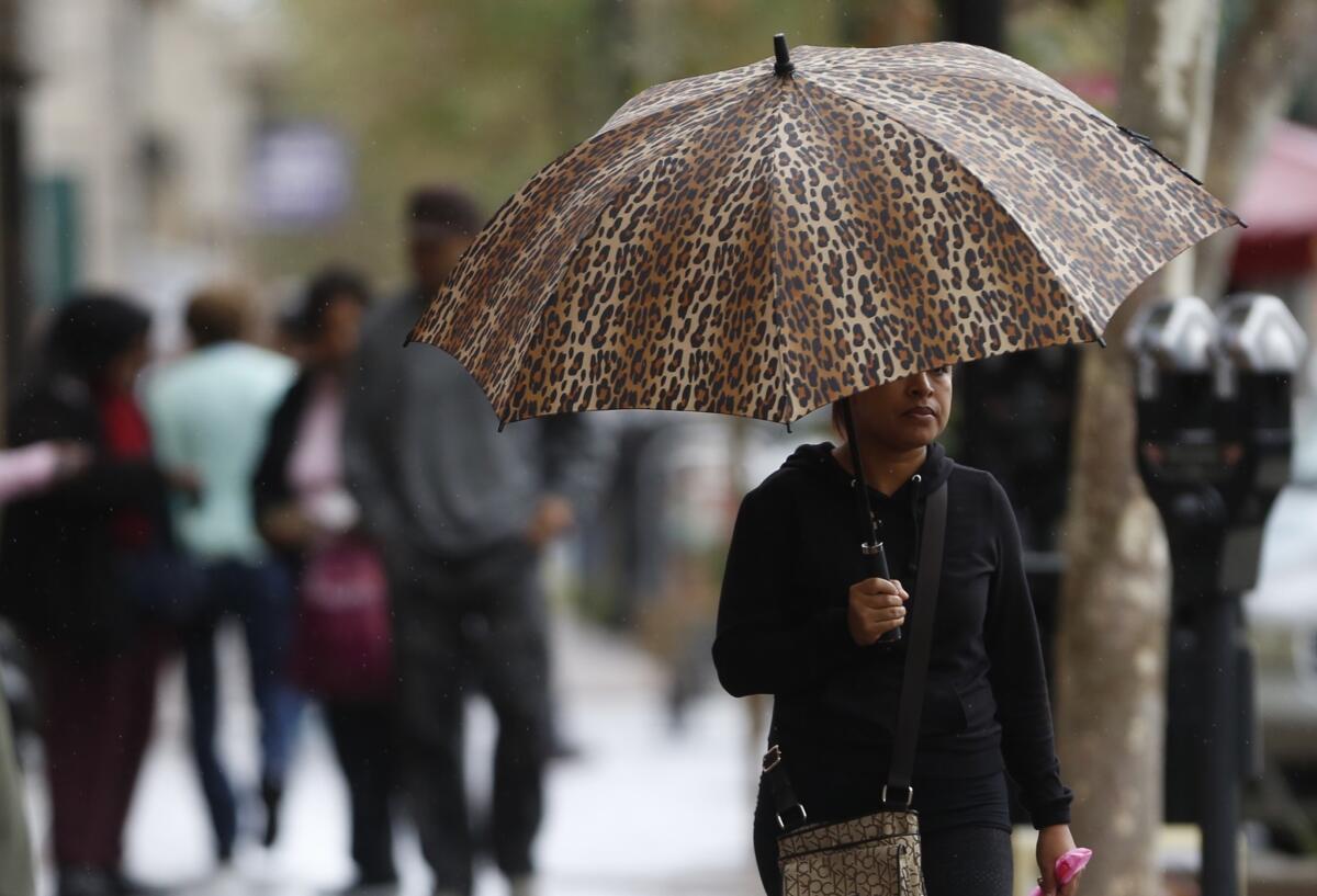
Keisha Flores holds her umbrella while she shops on Fourth Street in Santa Ana during light rain Monday.
- Share via
Rain, lightning and snow blanketed parts of Northern California on Monday, but the occasionally severe storm system weakened as it moved south, bringing to parts of Southern California only chilly temperatures and light showers that were expected to continue through Tuesday morning.
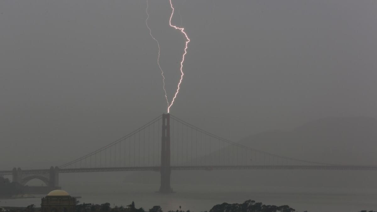
In Monterey, San Benito, Santa Cruz and Santa Clara counties, more than an inch of rain fell in some areas. The Bay Area saw less rainfall but more than 500 lightning strikes. Strong wind gusts also were reported, according to the National Weather Service.
The region east of Sacramento was briefly under a tornado warning — but no cyclone was reported.
See the most-read stories this hour >>
Across the Sierra, several inches of snow coated the mountains above 3,000 feet, with Boreal Mountain Resort near Donner Lake reporting 8 inches of powder since Sunday.
Squaw Valley, west of Lake Tahoe, expected an additional 6 inches of snow overnight into Tuesday morning, according to the ski resort.

Lightning strikes over the Golden Gate Bridge.
A low-pressure system is bringing this second storm of the season, but as it moved into Santa Barbara, Los Angeles, Orange and San Diego counties on Monday night, the system was losing its heft, said Stuart Seto, a weather specialist with the National Weather Service.
The point of reckoning, he said, was at Point Conception, the headland about 50 miles west of Santa Barbara. From there, the storm fizzled out.
“There are still showers out there, and that will continue until early Tuesday morning,” he added. “And it will still be on the cold side.”
Highs will range from the high 60s to low 70s Tuesday as a trough of low pressure moves through the Southland.
Up to 2 inches of snow was forecast for mountains above 4,500 feet by Tuesday morning, with a light dusting of snowflakes possible along the Interstate 5’s Grapevine, according to the National Weather Service.
But the brisk weather won’t last long.
Temperatures in Southern California are forecast to inch upward by five degrees Wednesday, and a gradual warming trend should continue through Saturday.
The weekend could see an elevated risk of wildfires because of the expected warm offshore winds.
“We’ll have to keep our eye out because we’ll probably get some drying,” Seto said.
Times staff writer Paloma Esquivel contributed to this post.
For breaking news in California, follow @VeronicaRochaLA
ALSO
Navy launches second test missile off Southern California coast
In court, ‘Shrimp Boy’ Chow is described as a mobster and a model citizen
Baby bear boom brings many of them to streets of Three Rivers, Calif.


