Snowpack more than doubles in a month — and it’s still storming in the Sierra
- Share via
They may have been cold and wet, but that was a good thing for surveyors making their monthly winter trip to the state’s Phillips station to measure the snowpack Thursday morning.
The weather was stormy enough that the California Department of Water Resources couldn’t livestream the ritual, as it typically does for those eager to know the progress of the state’s water supply. But when the results were in, they were great: The snowpack had more than doubled from last month — to 113 inches deep, or 43½ inches of water if it were to melt, said spokesman Chris Orrock.
The snowpack is the fifth-deepest recorded at Phillips station since the department started surveying the snow there in 1941, Orrock said.
“We’re very happy about it,” he said. “It was cold. It was snowing the whole time … and sticking.”
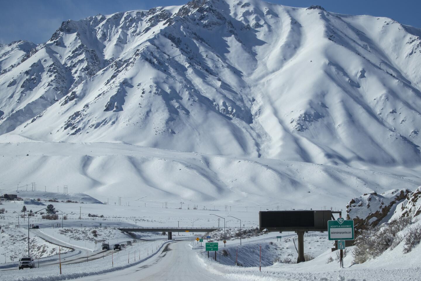
The measurement means it’s officially an above-average year for snowfall in California. And that’s no surprise after a month hit by storm after storm.
Cold and wet January weather contributed to the doubling of the snowpack at Phillips station that month — from 25 inches to 50 inches, or 18 inches of water when it melts. And the storms haven’t let up since then. Last week, cold temperatures provided a rarity in Southern California: snow. Snow levels plunged to between 800 and 1,000 feet, and the unfamiliar white powder touched Malibu, Pasadena, West Hollywood, Thousand Oaks and other unexpected places.
In Northern California, a heavy storm led to the worst flooding in 20 years in one county and the death of a man in another. Gov. Gavin Newsom declared an emergency for the counties of Amador, Glenn, Lake, Mendocino and Sonoma, where hundreds were marooned because of the flooding.
The heavy rain caused the Russian River to overflow, prompting the evacuation of the town of Guerneville and the Russian River Valley. The river crested at more than 46 feet Wednesday night but had begun to recede by Thursday afternoon.
About 2,000 homes, businesses and other structures were flooded by water up to 8 feet deep. About 3,500 people were under evacuation orders.
Two wastewater treatment plants were not working, leading to concerns about sewage spills, said Briana Khan, a Sonoma County spokeswoman.
Sonoma County officials said they expected the communities of Guerneville and Monte Rio to be accessible by car Friday. The two-day storm had rendered the towns reachable only by boat.
One National Weather Service station measured 20 inches of rain in 48 hours.
Though no flood-related serious injuries or deaths were reported in Sonoma County, a man about 150 miles to the north in Ferndale died trying to reach three children stuck inside his house.
The unidentified man was trying to walk from a barn to his home through about 5 feet of water Wednesday evening when he was carried away by the fast-moving current, said Samantha Karges, spokeswoman with the Humboldt County Sheriff’s Office.
Two adults and a child tried to rescue the man, but their tractor stalled in the water. Deputies in a boat then rescued them and the three children from the home, Karges said.
The man’s body was found Thursday morning. He was the father of a 12-year-old trapped in the home with two children under 4, Karges said. She was not sure whether all three children were related. The low-lying rural area about 215 miles north of San Francisco is home to many dairy farms and flooded when the Eel River went over its banks.
Despite the flooding, the rain has overall been terrific news for the state’s water supply, said UCLA climate scientist Neil Berg.
Orrock was cautious — but less so than usual — in making a positive prediction for the rest of the wet season.
“We still have a whole other month to go” that could give us warm and dry conditions, he said, before adding, “I don’t think that’s going to happen.”
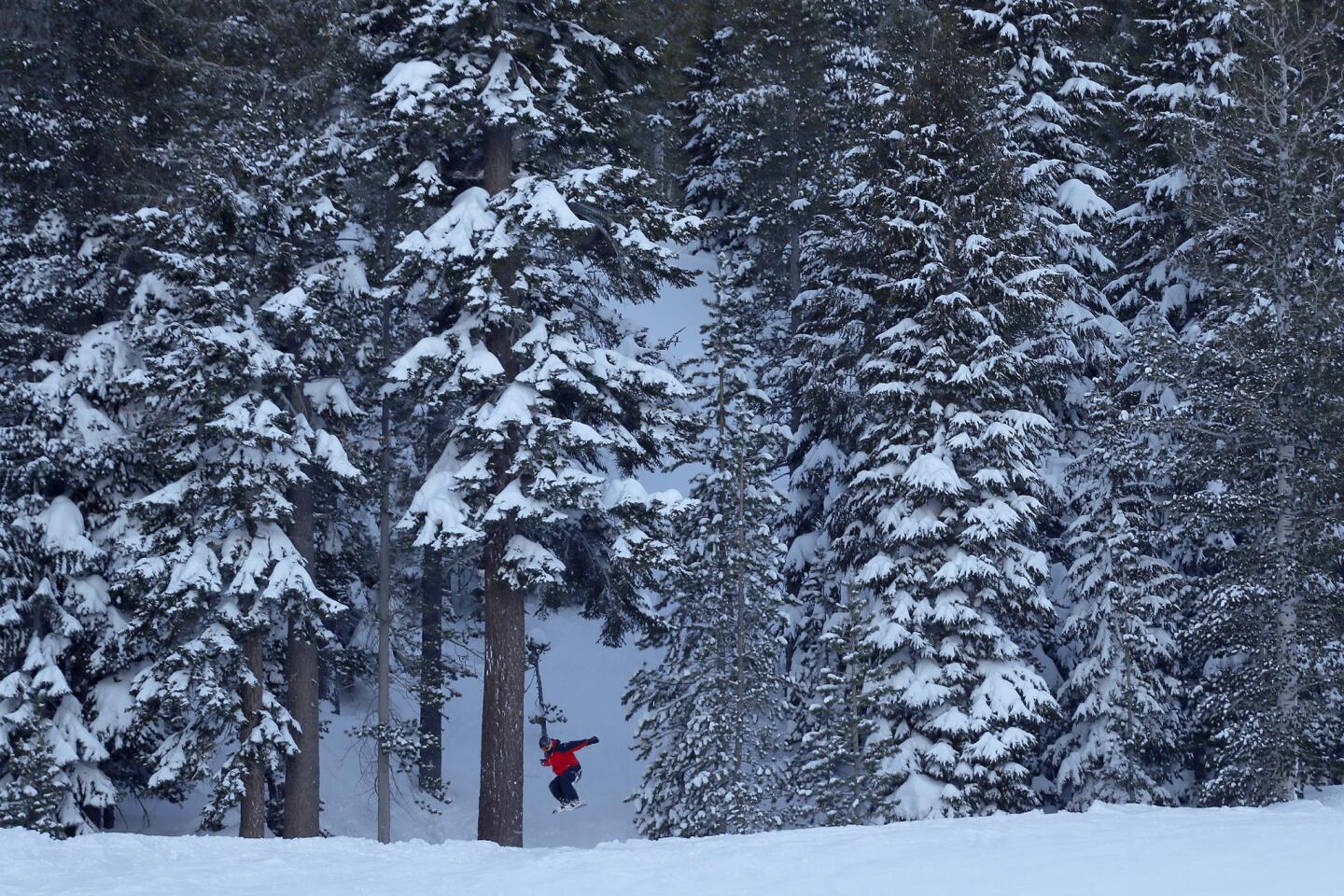
At some stations, the snow has broken records. The Sierra-at-Tahoe ski resort received the most snow in February since the department started surveying the snow there, Orrock said.
Berg said more atmospheric river-fueled storms will slam the state this week.
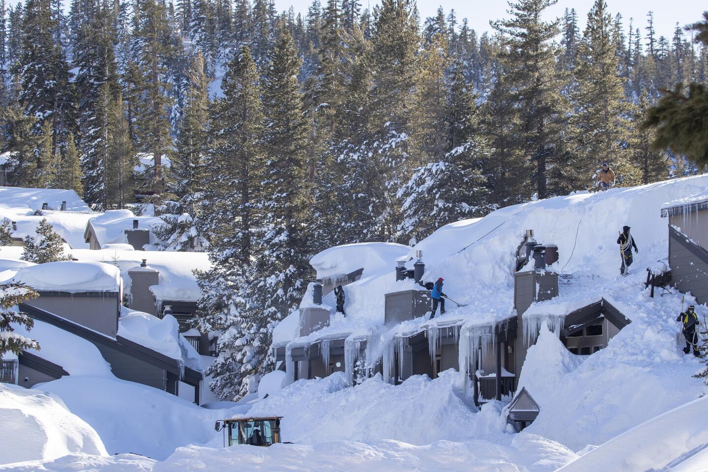
“It could dump several more feet of snow throughout the mountains,” he said.
The constant weather events have also made February a record cold month in Los Angeles. For the first time in 141 years of record keeping, temperatures in downtown L.A. did not reach 70 degrees during the second month of the year.
Even with some warm storms coming in from the Pacific, Orrock said there were enough cold storms to keep temperatures low.
State snowpack levels are 150% of normal for this time of the year. Last year, the Phillips station was grassy and dry when surveyors tried measuring the snowpack for the first survey in January.
In 2011, the snowpack peaked at 171% of normal, meteorologist Jim Mathews said. If this season’s storms continue, the chance of beating that mark is pretty good, he said.
But Berg called this winter a “fortuitous anomaly.”
“Despite February being unusually cold, we’re still warmer than average on the whole,” he said. “I don’t think this is indicative of anything larger. These are short-term weather patterns occurring in the context of significant warming trends in our climate.”
Social media users have taken the cold weather as an opportunity to comment on climate change.
“Global warming is not a joke. Snowing in Los Angeles???” one person wrote on Twitter, while another countered: “Hey #liberals look! What happened to your #globalwarming.”
But scientists said such comments confuse weather with climate, noting that it’s unlikely California’s snowpack levels will remain consistently healthy.
“We go from one extreme to another. That’s directly related to climate change,” Orrock said.
The Associated Press contributed to this report.
Twitter: @r_valejandra
More to Read
Sign up for Essential California
The most important California stories and recommendations in your inbox every morning.
You may occasionally receive promotional content from the Los Angeles Times.


