More storms, lighter rain in Southern CaliforniaŌĆÖs future
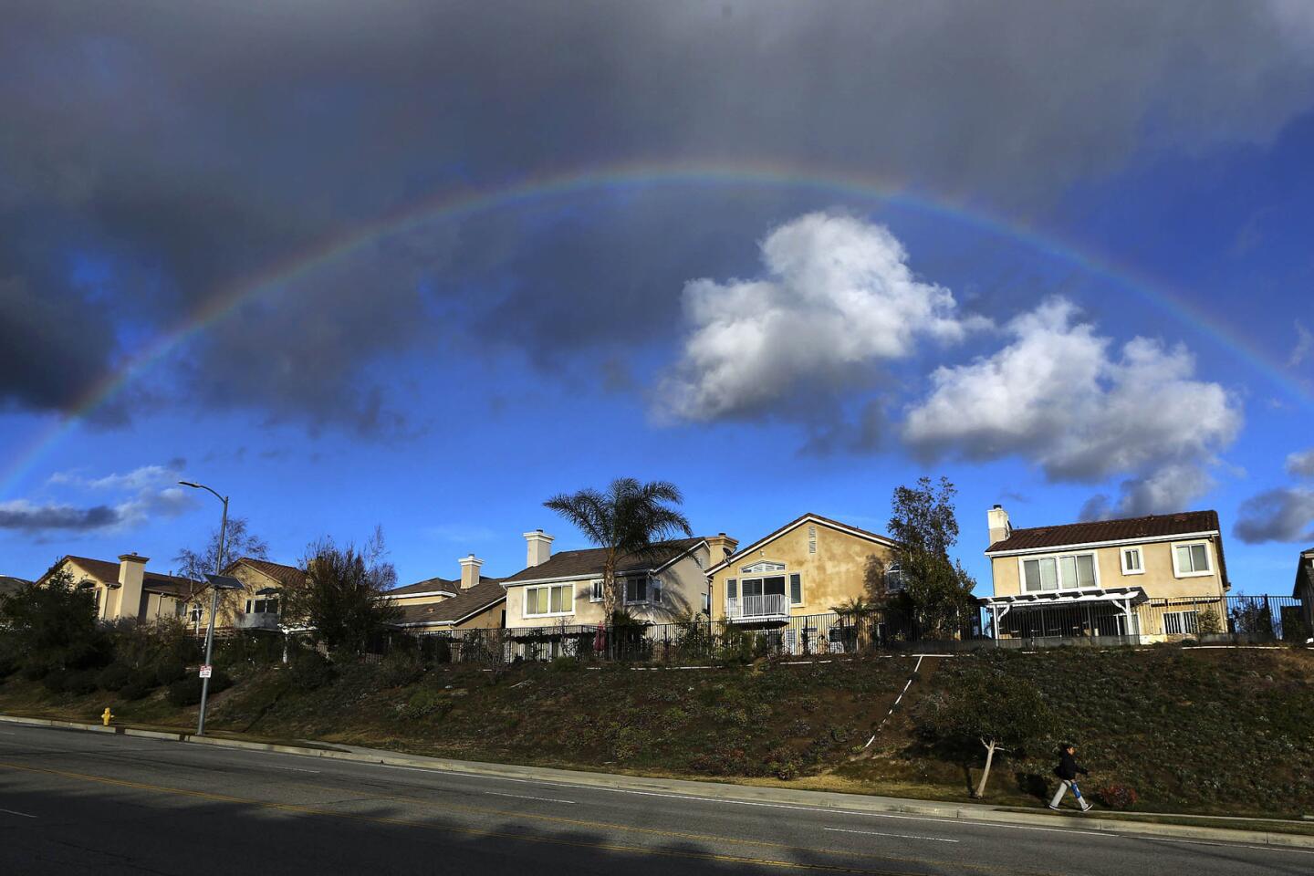
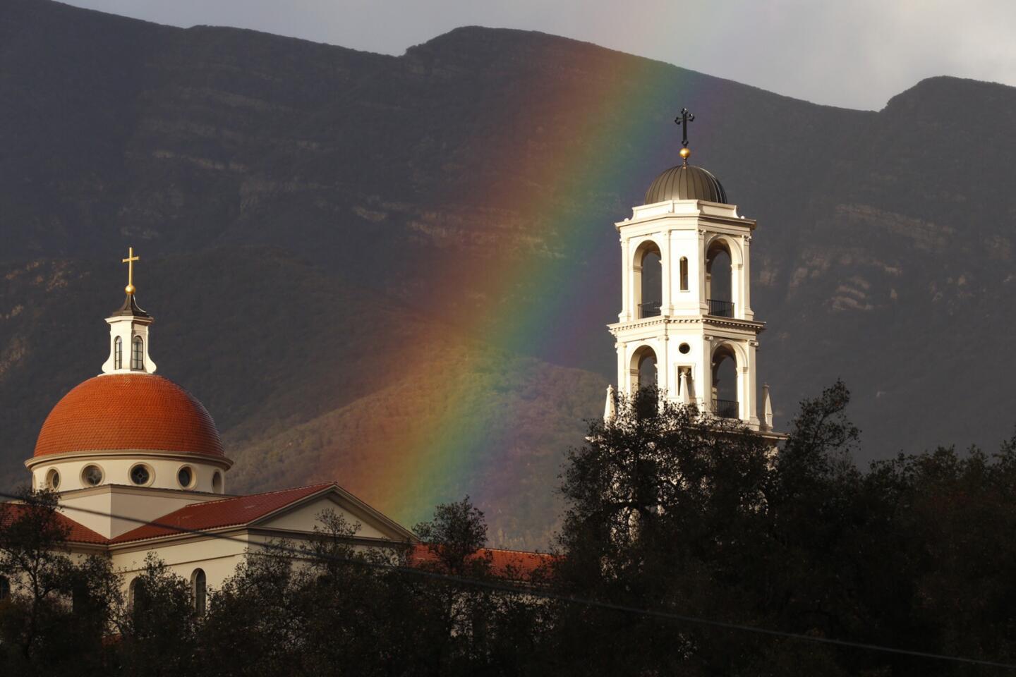
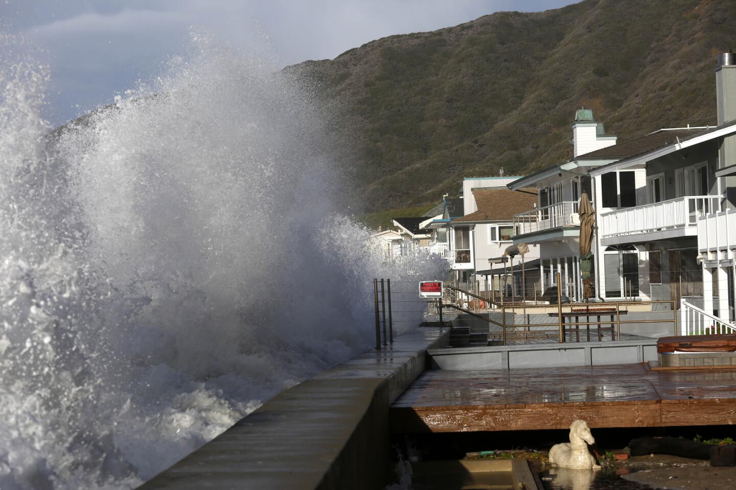
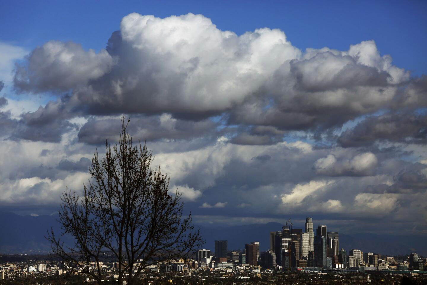
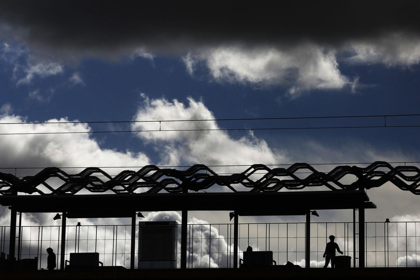
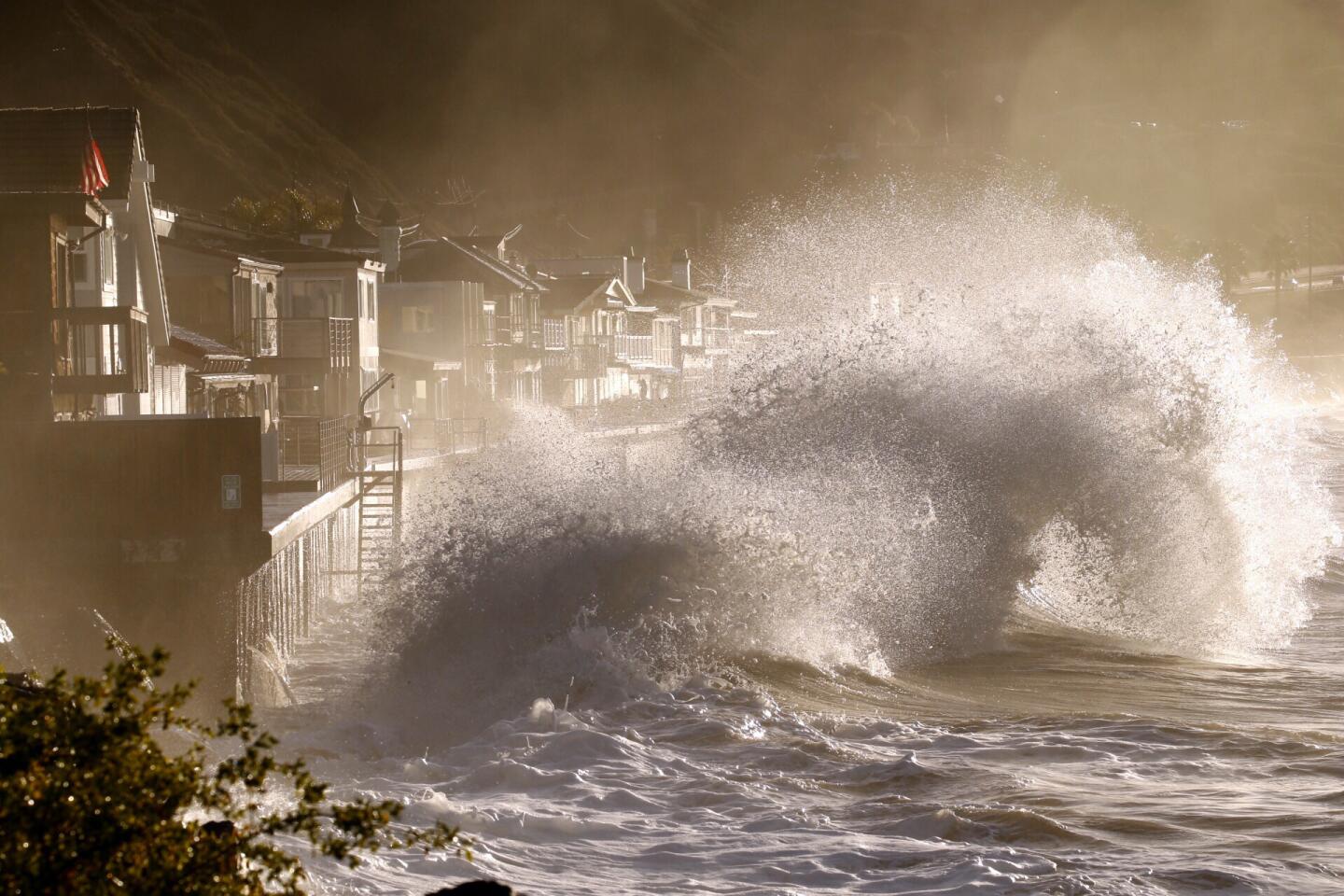
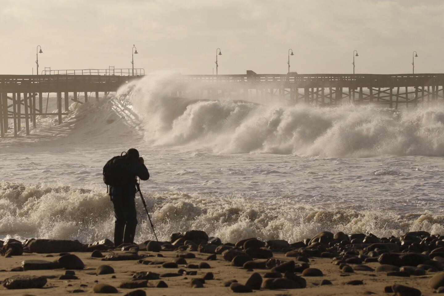
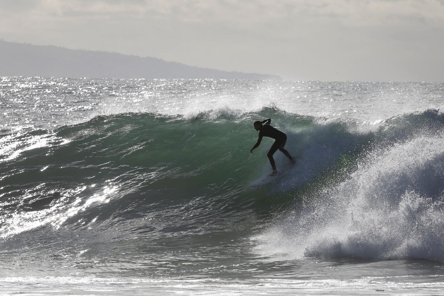
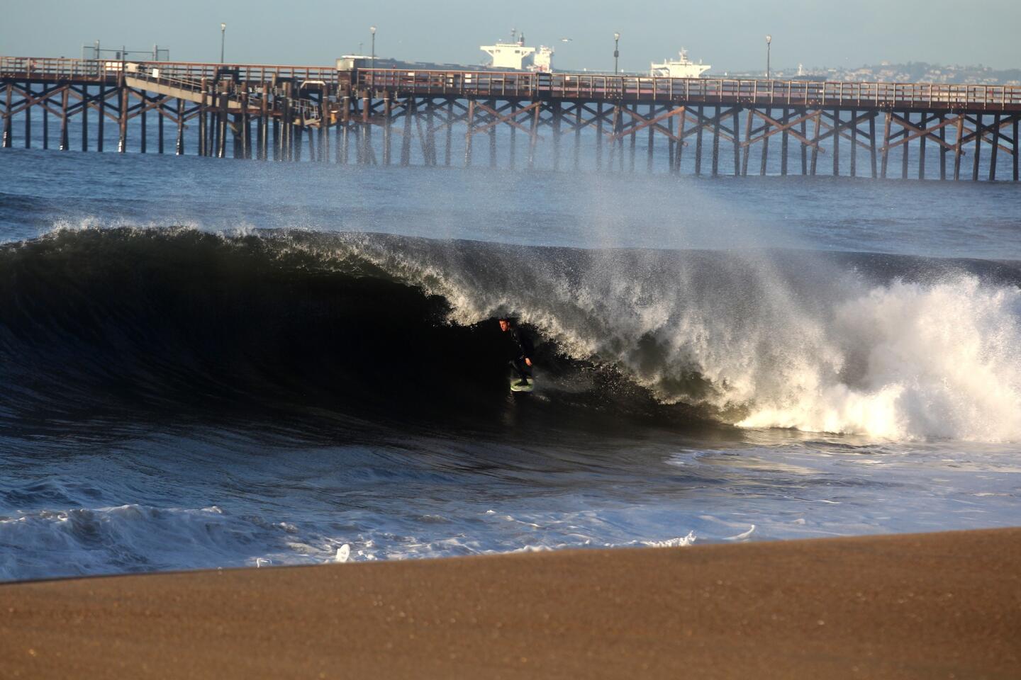
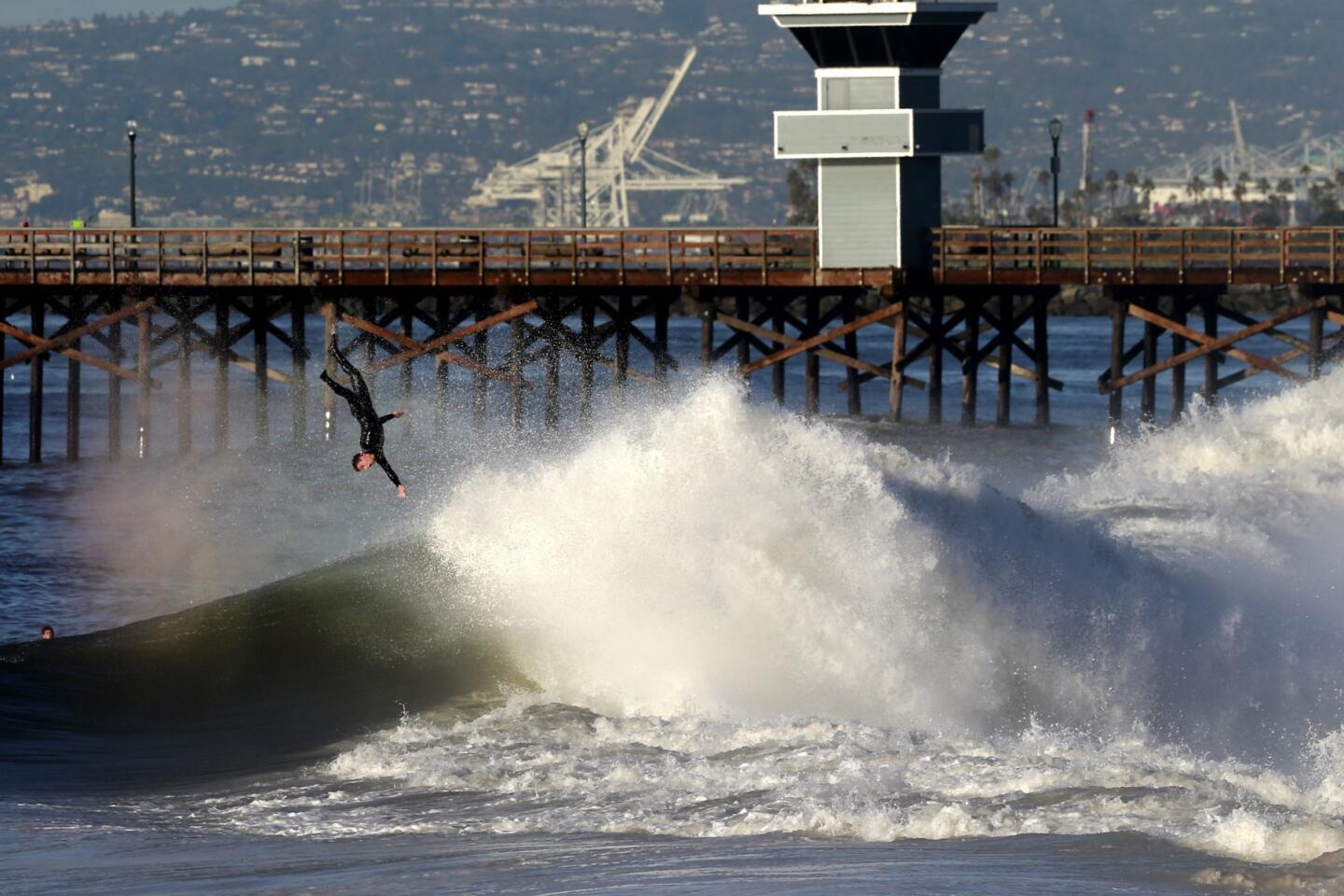
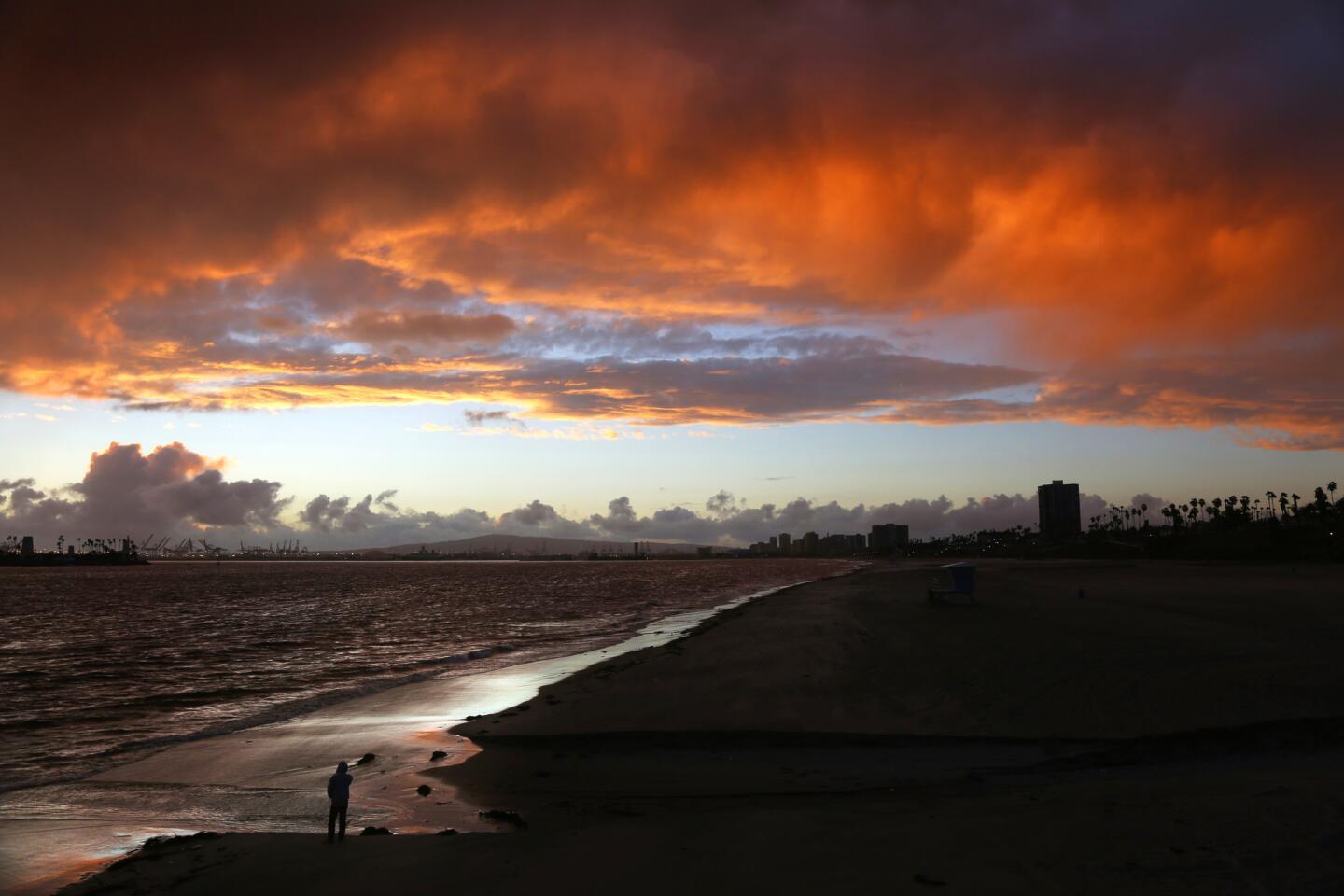
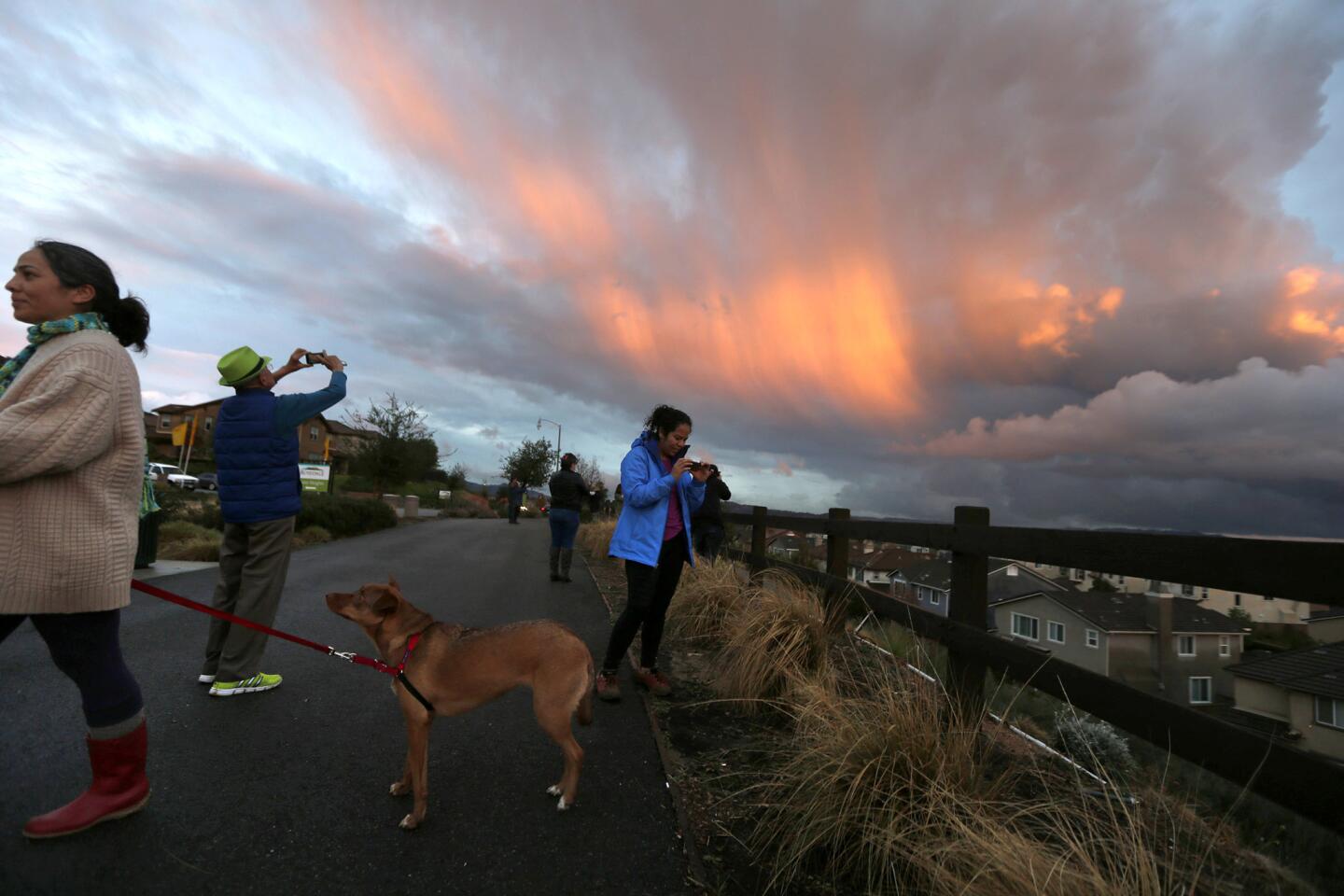
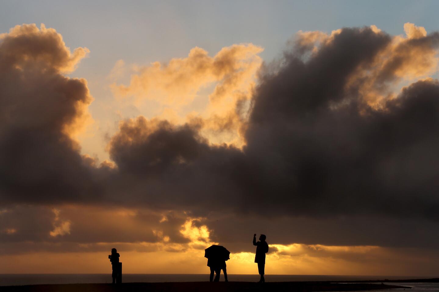
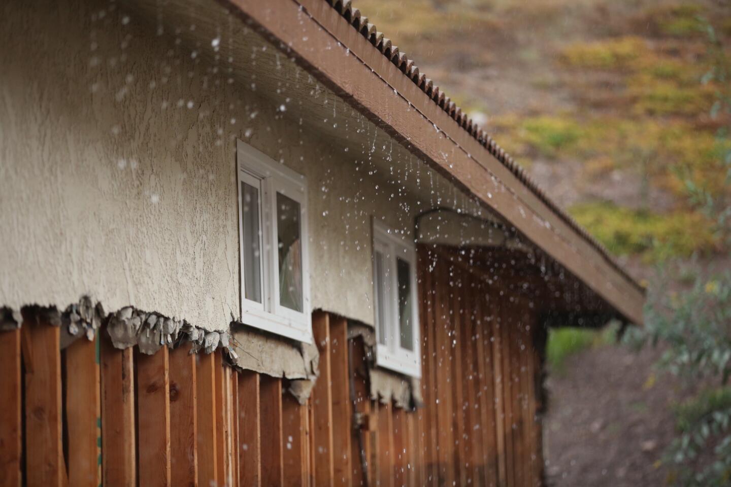
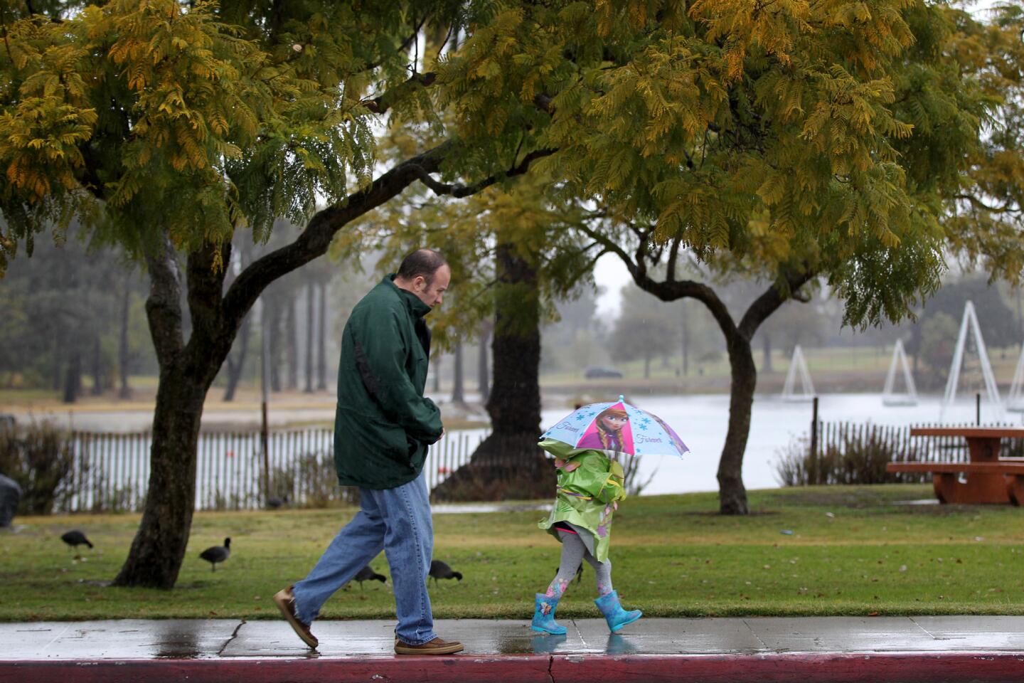
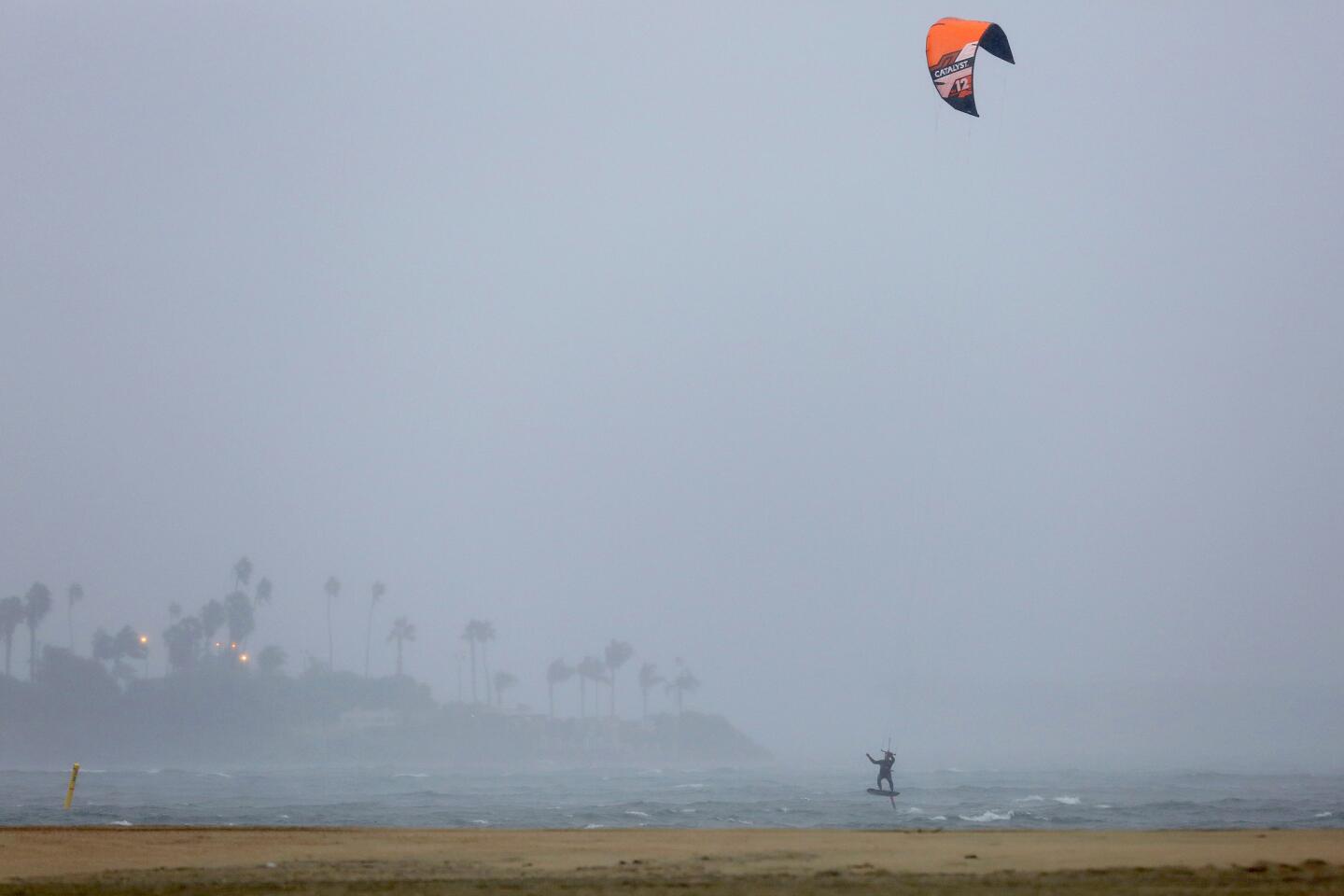
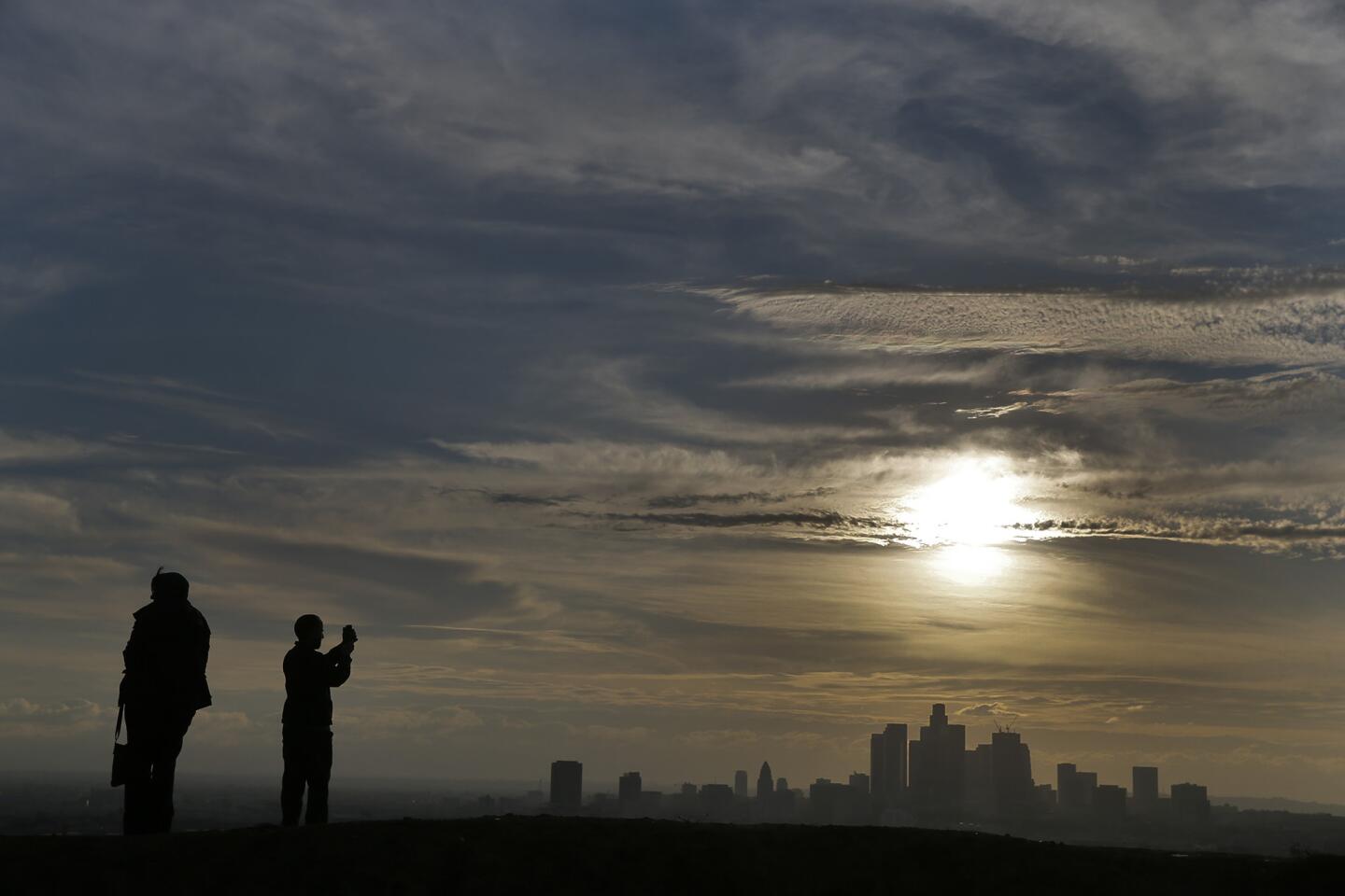
Another series of rainstorms is expected in Southern California over the next five days, though forecasters say they will pale in comparison to the rain, hail and wind that slammed the region this week.
On Saturday, about a tenth of an inch of rain is expected to fall across the Southland as a cold front moves in from the north, said National Weather Service meteorologist Emily Thornton. The bulk of the rain is predicted to land along the Central Coast.
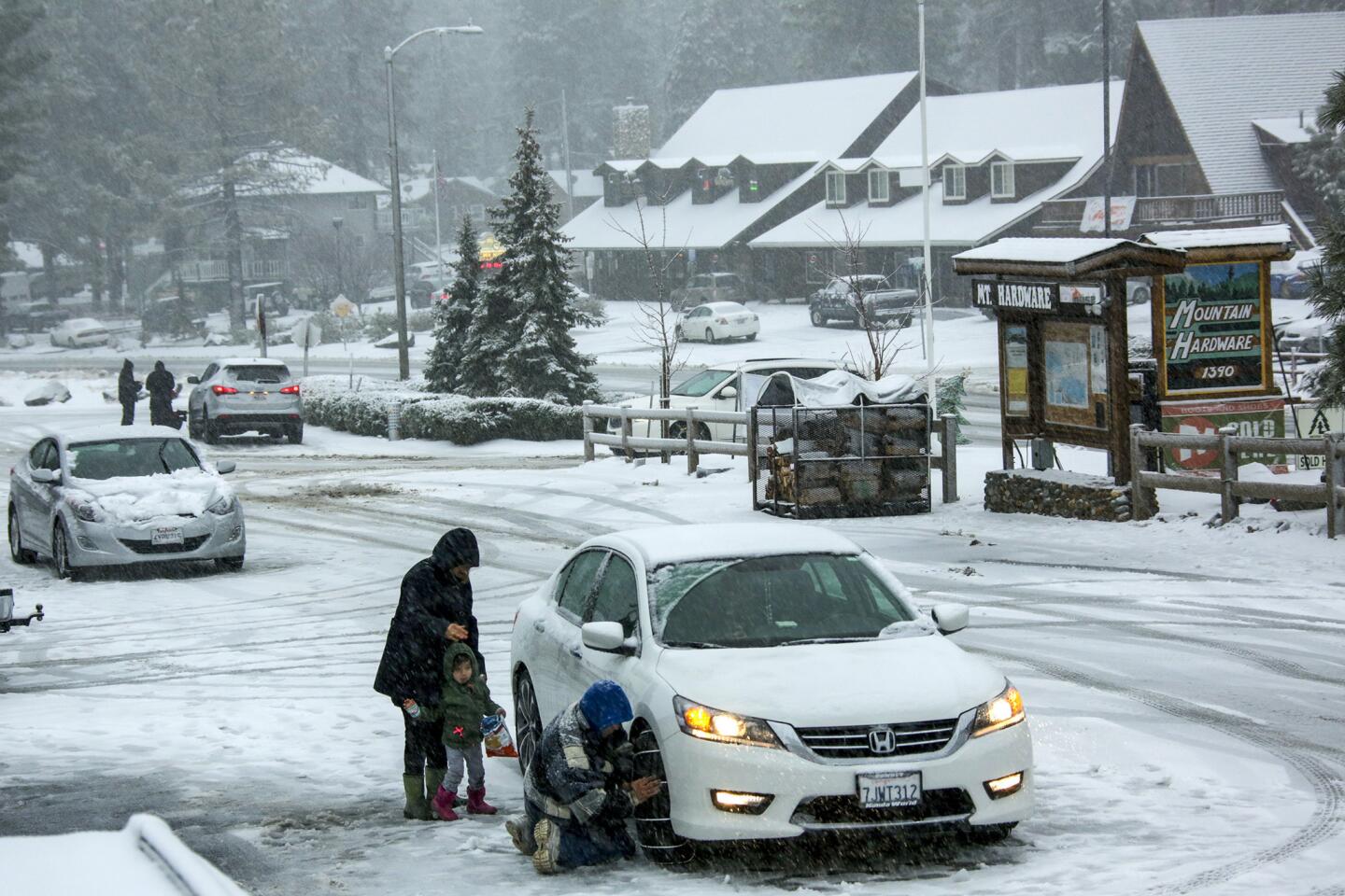
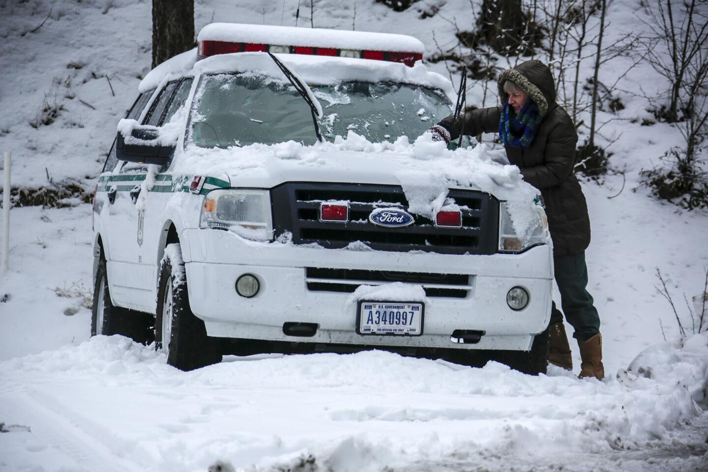
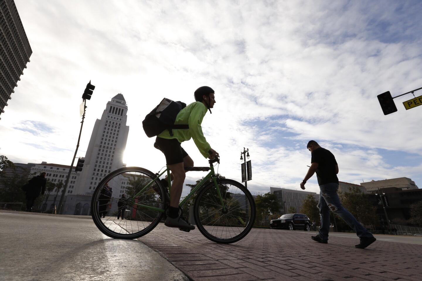
Temperatures will hover in the 50s during the day and 40s at night through the middle of next week though temperatures could approach freezing in the high desert, Thornton said.
Light rain is also expected Monday and another storm could roll through on Wednesday, Thornton said. It will be minuscule compared with the inches dumped across the mountains and valleys this week, she said.
ŌĆ£The next couple [of storms] are weak. WeŌĆÖll just have to wait for the next one,ŌĆØ Thornton said.
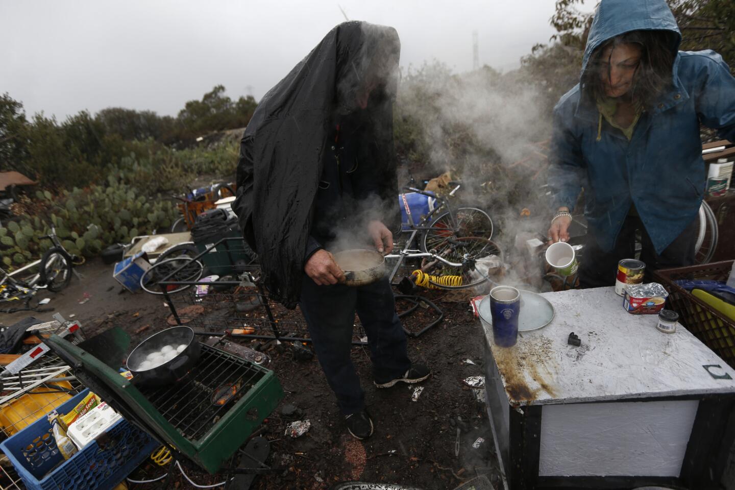
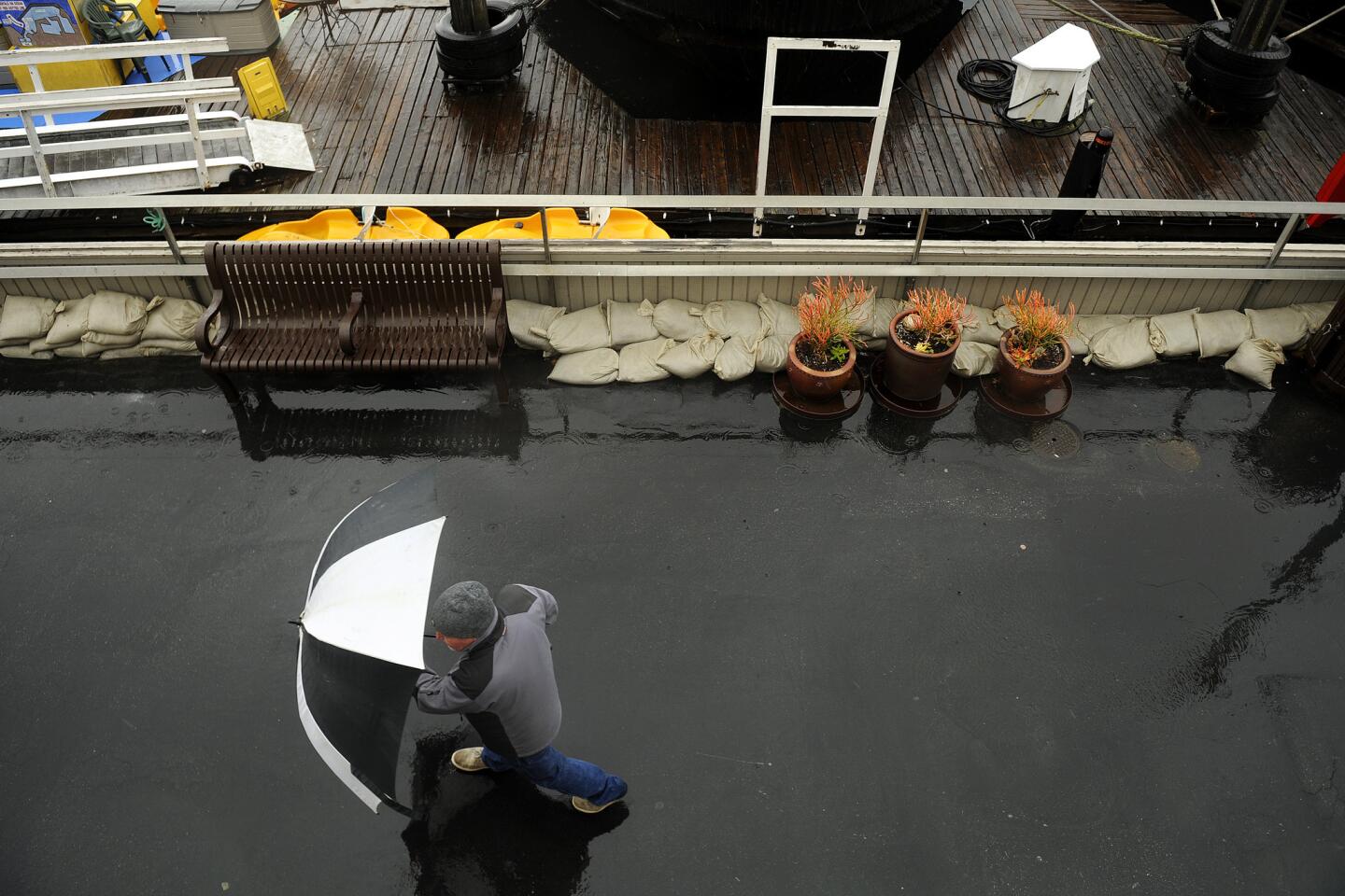
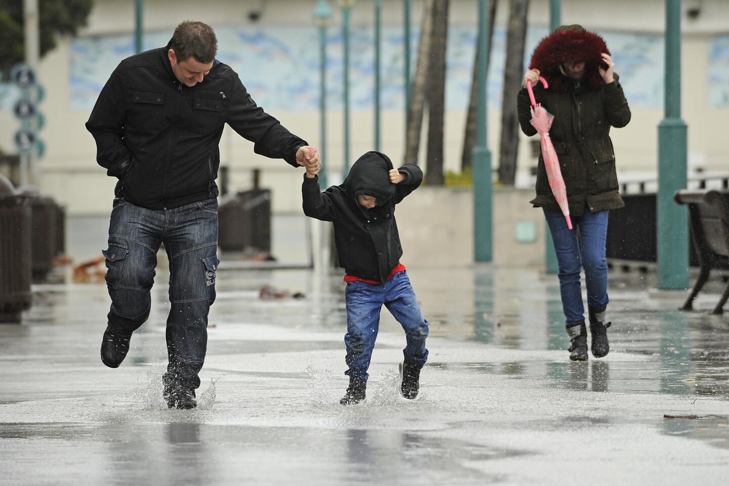
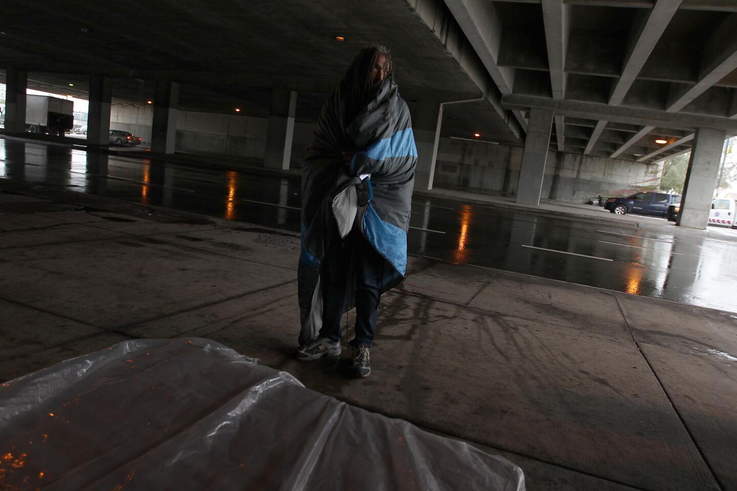
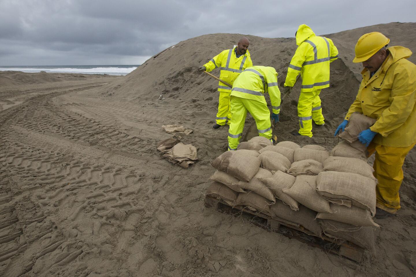
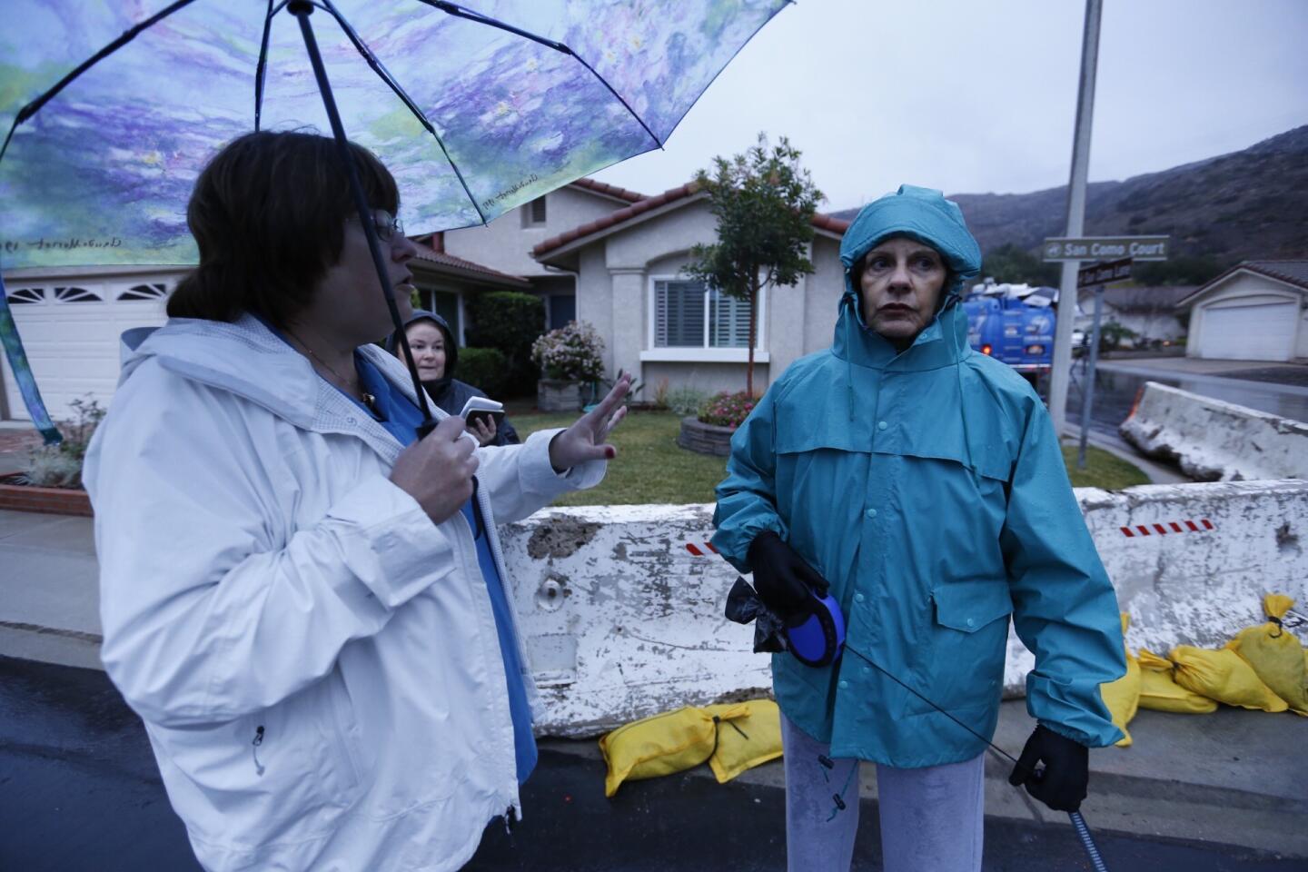
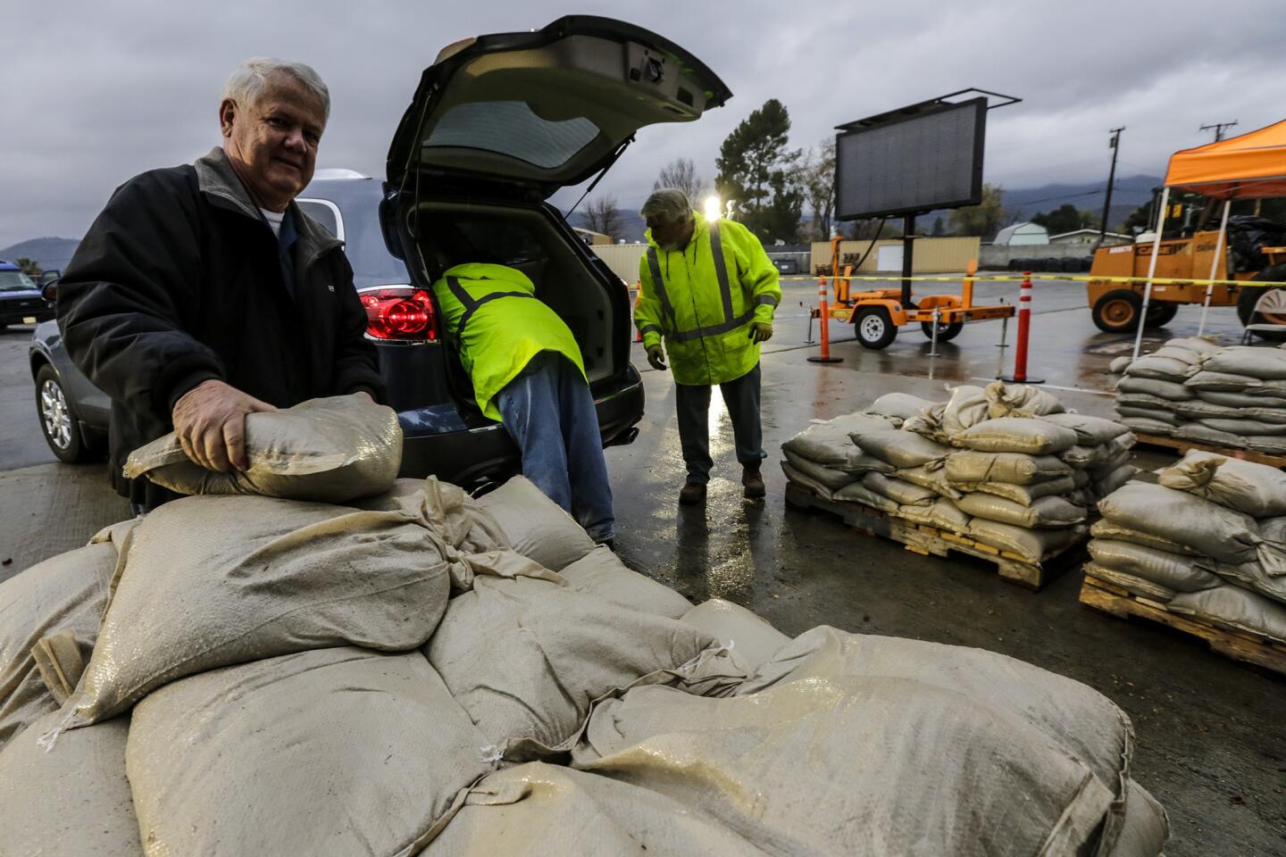
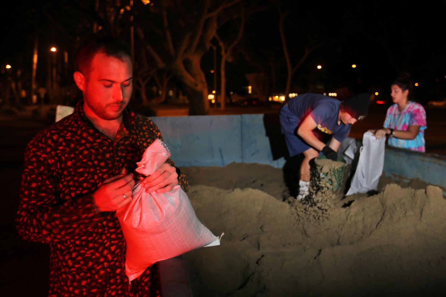
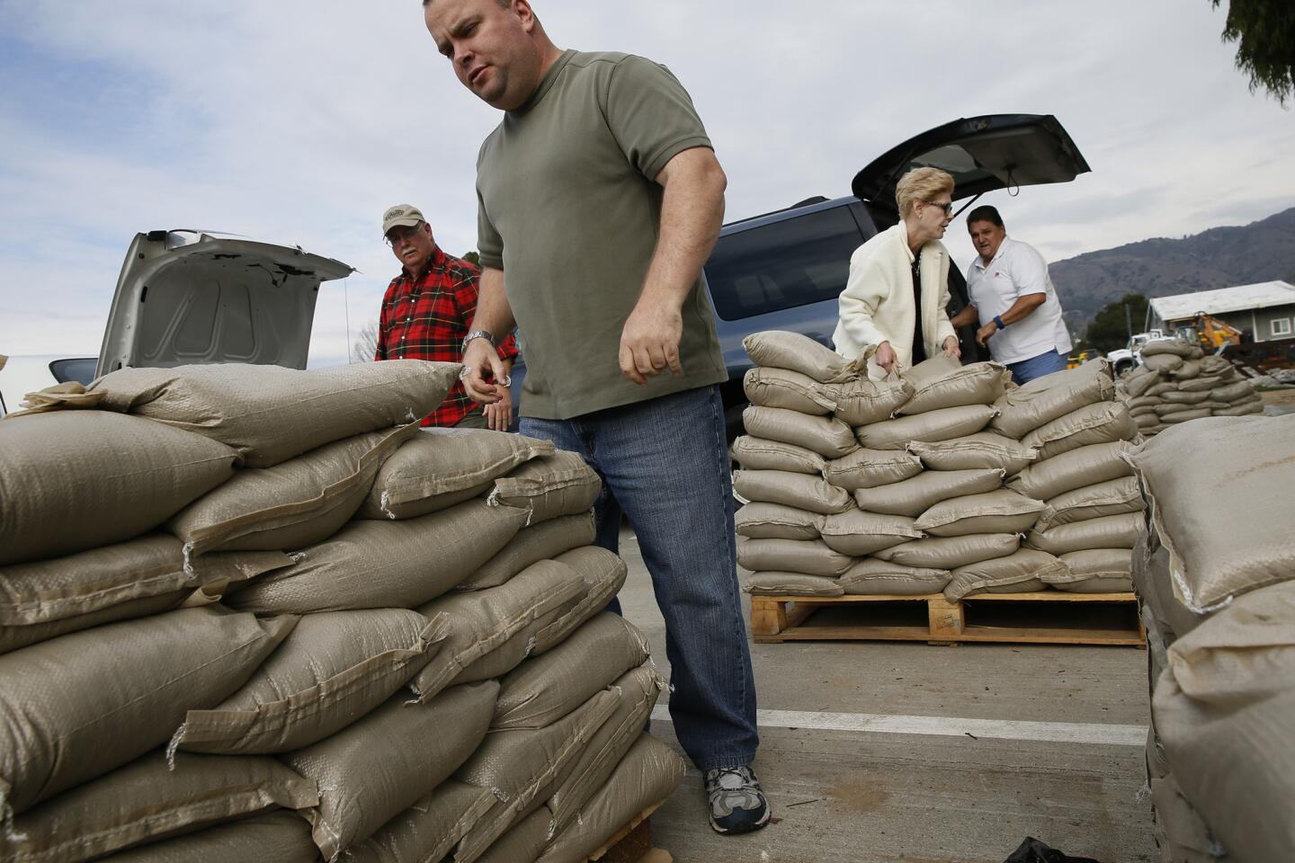
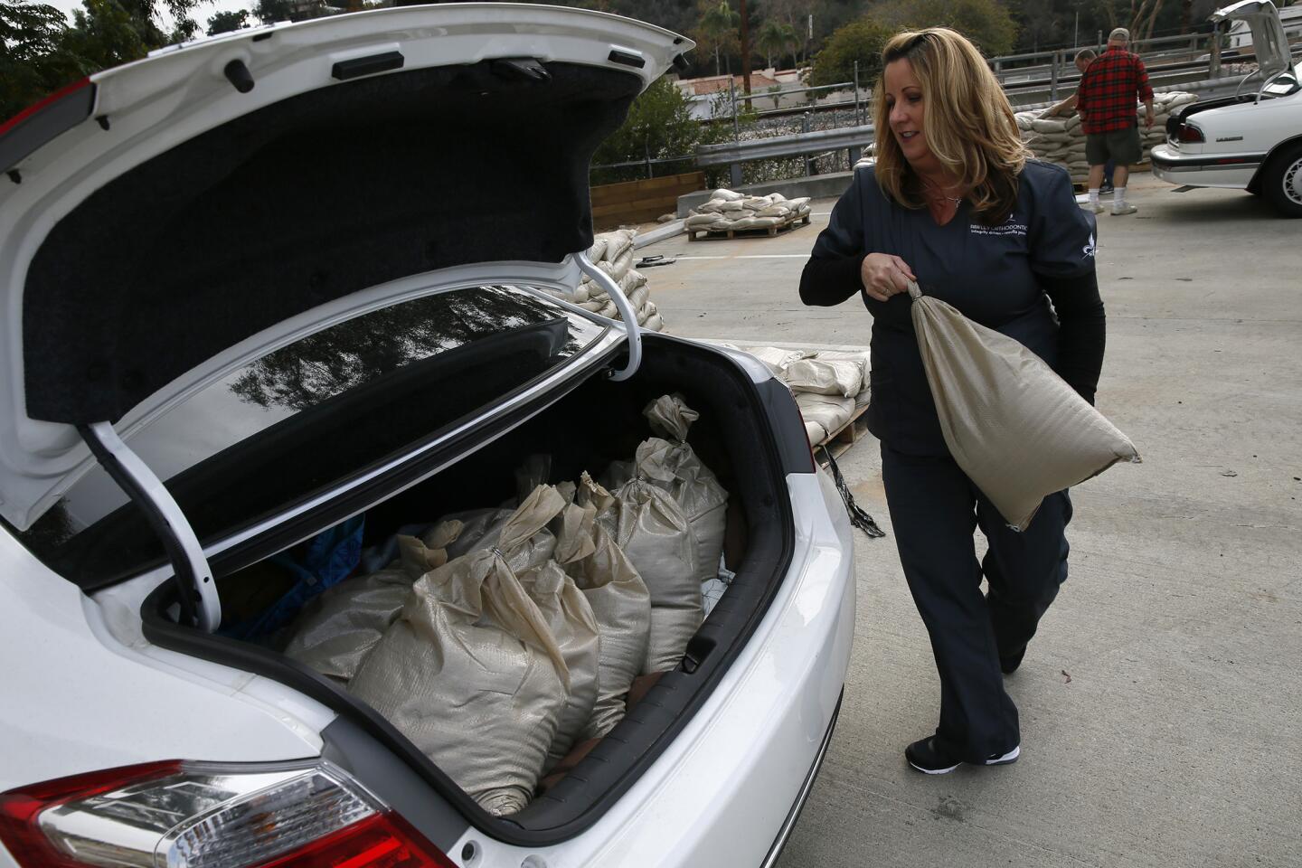
In the meantime, homeowners and public agencies across the region are assessing how they handled the first major El Ni├▒o storms of the season.
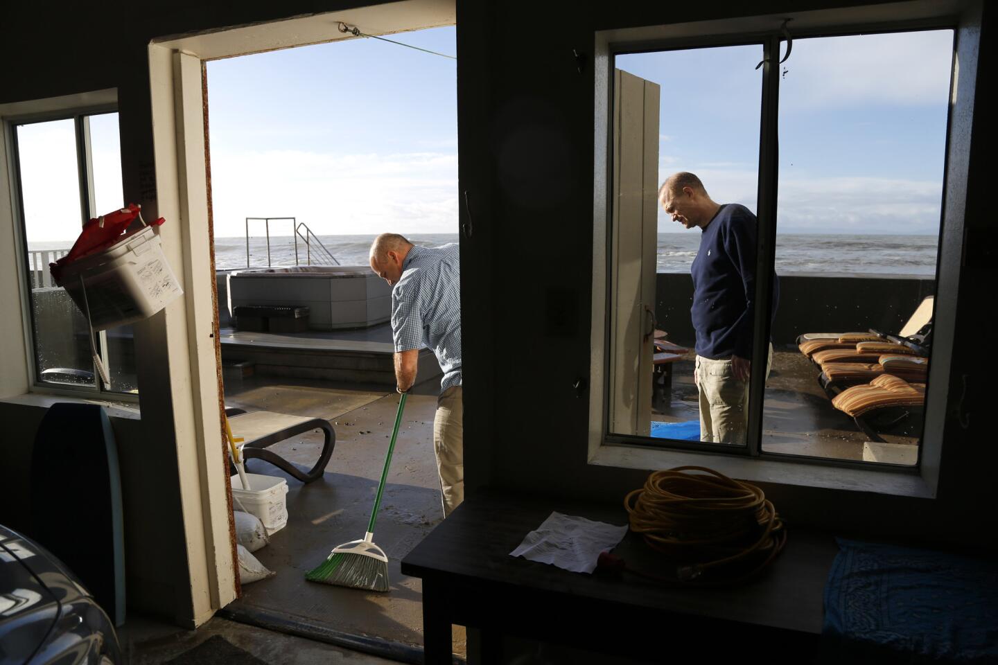
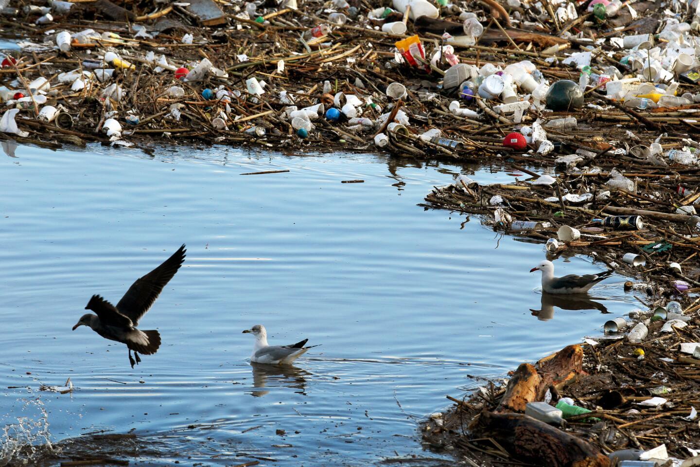
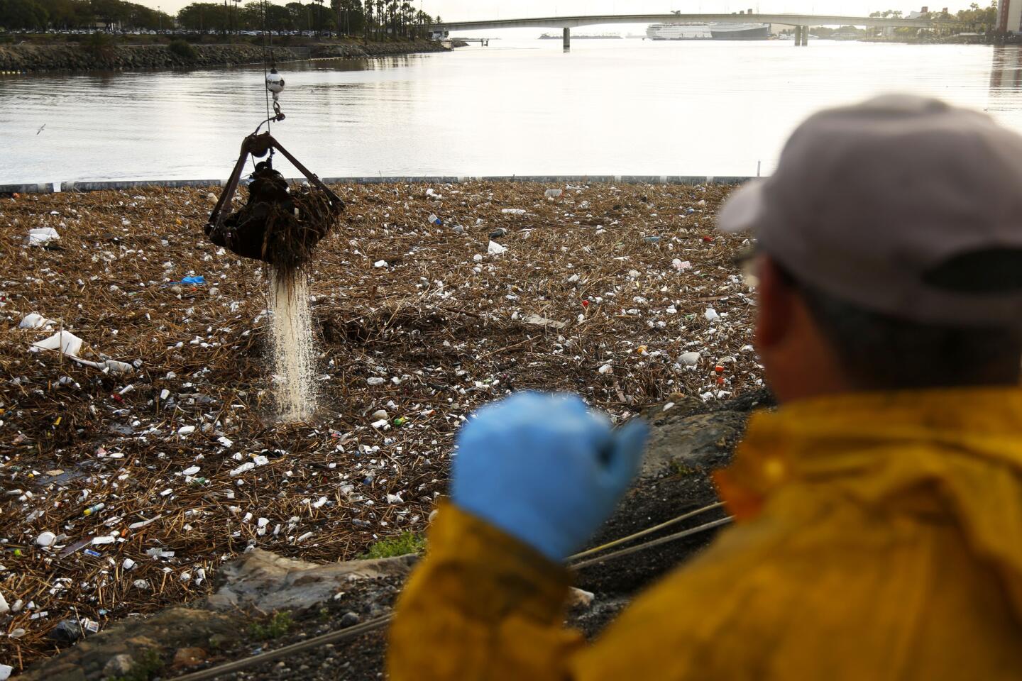
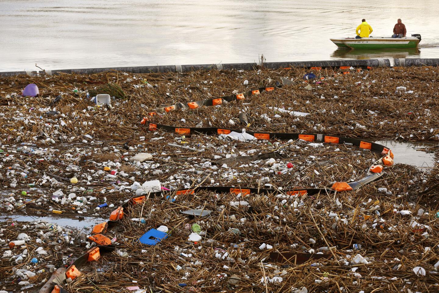
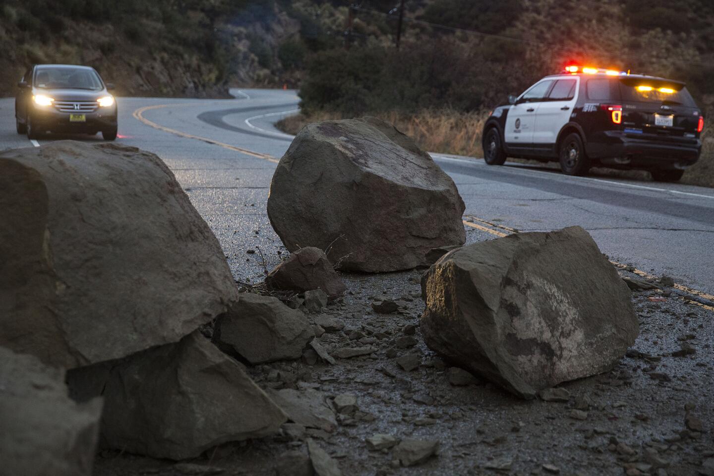
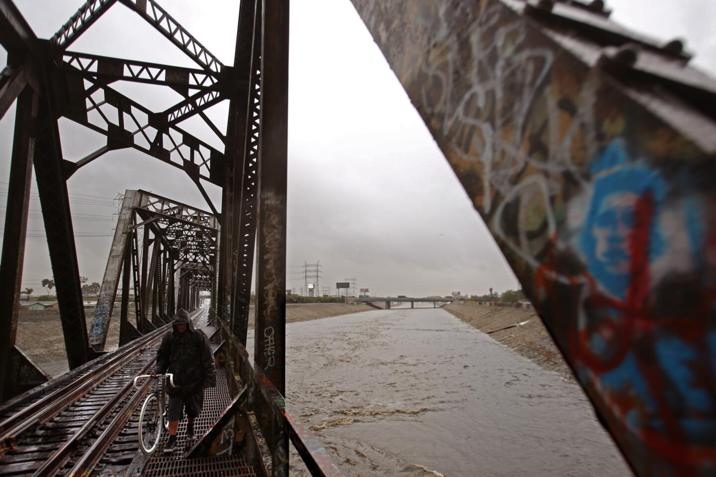
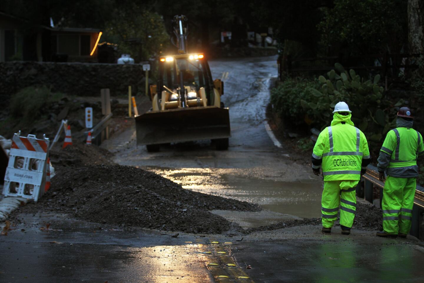
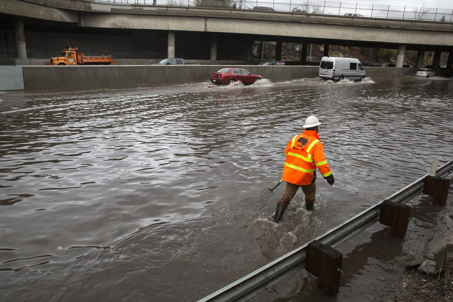
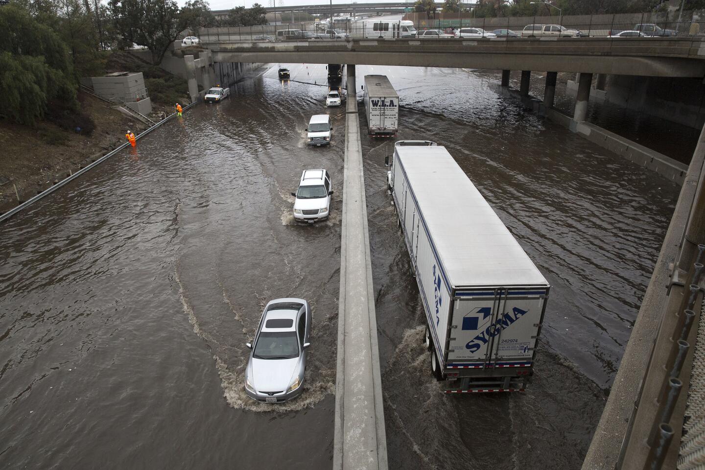
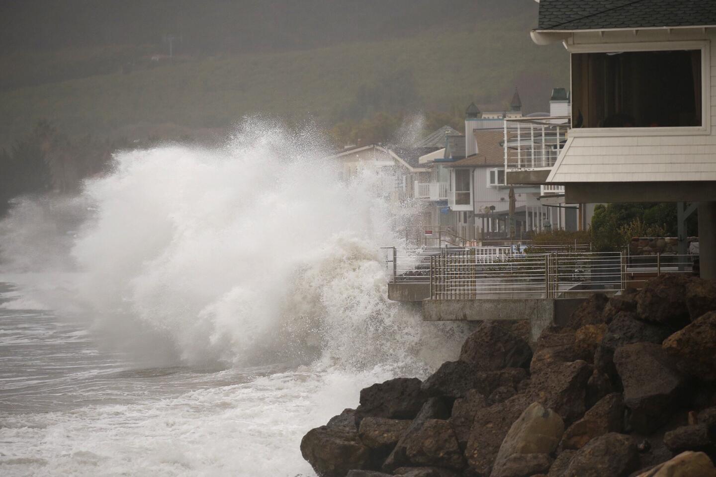
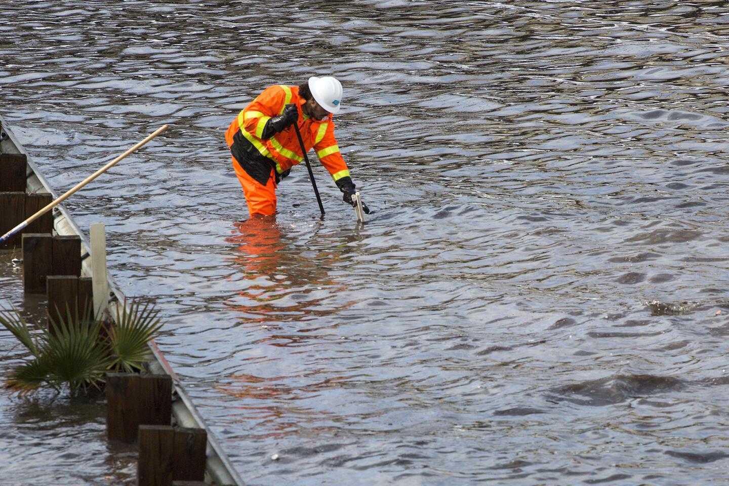
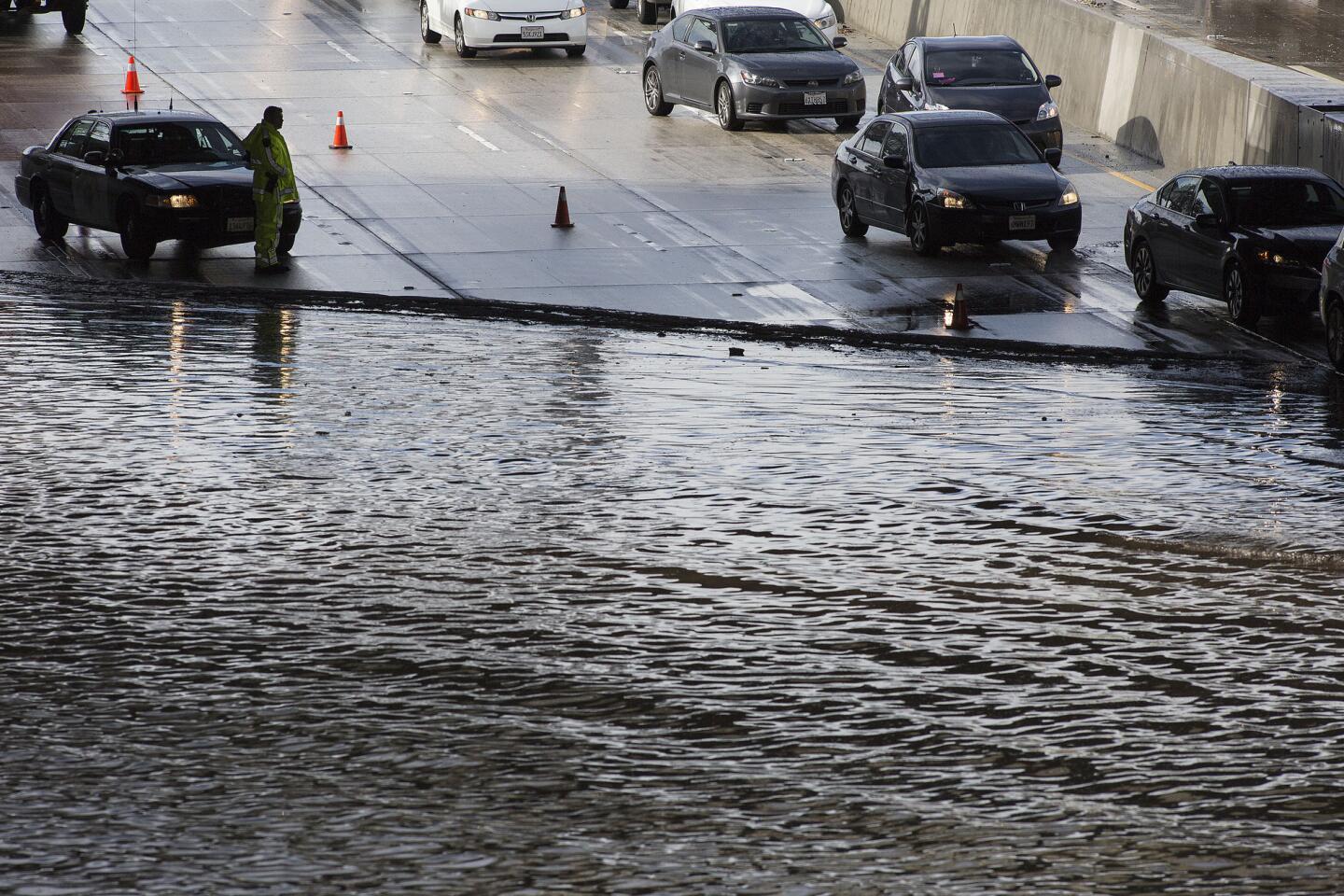
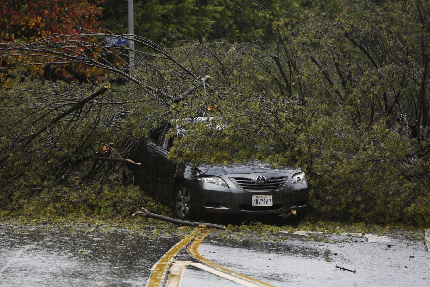
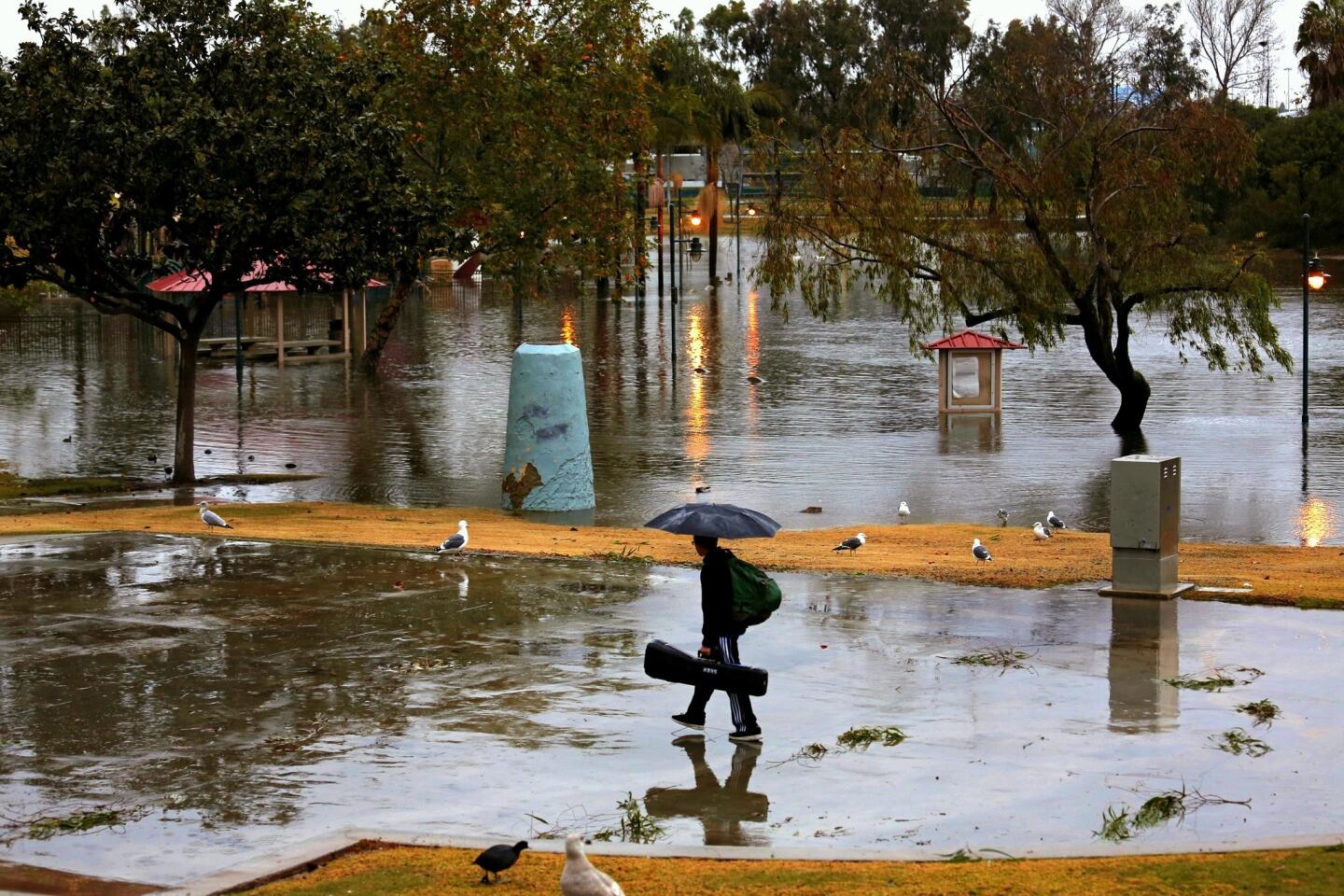
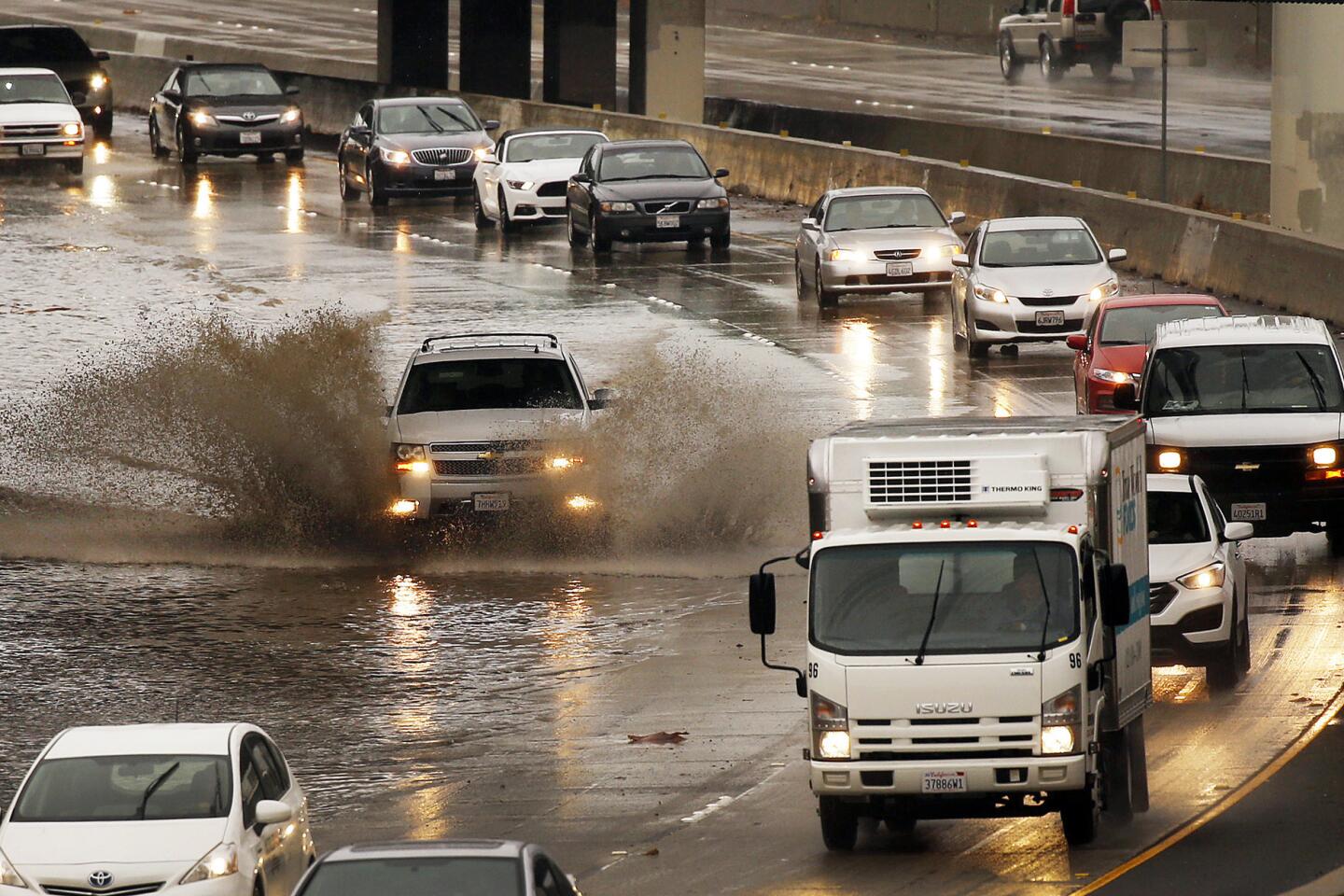
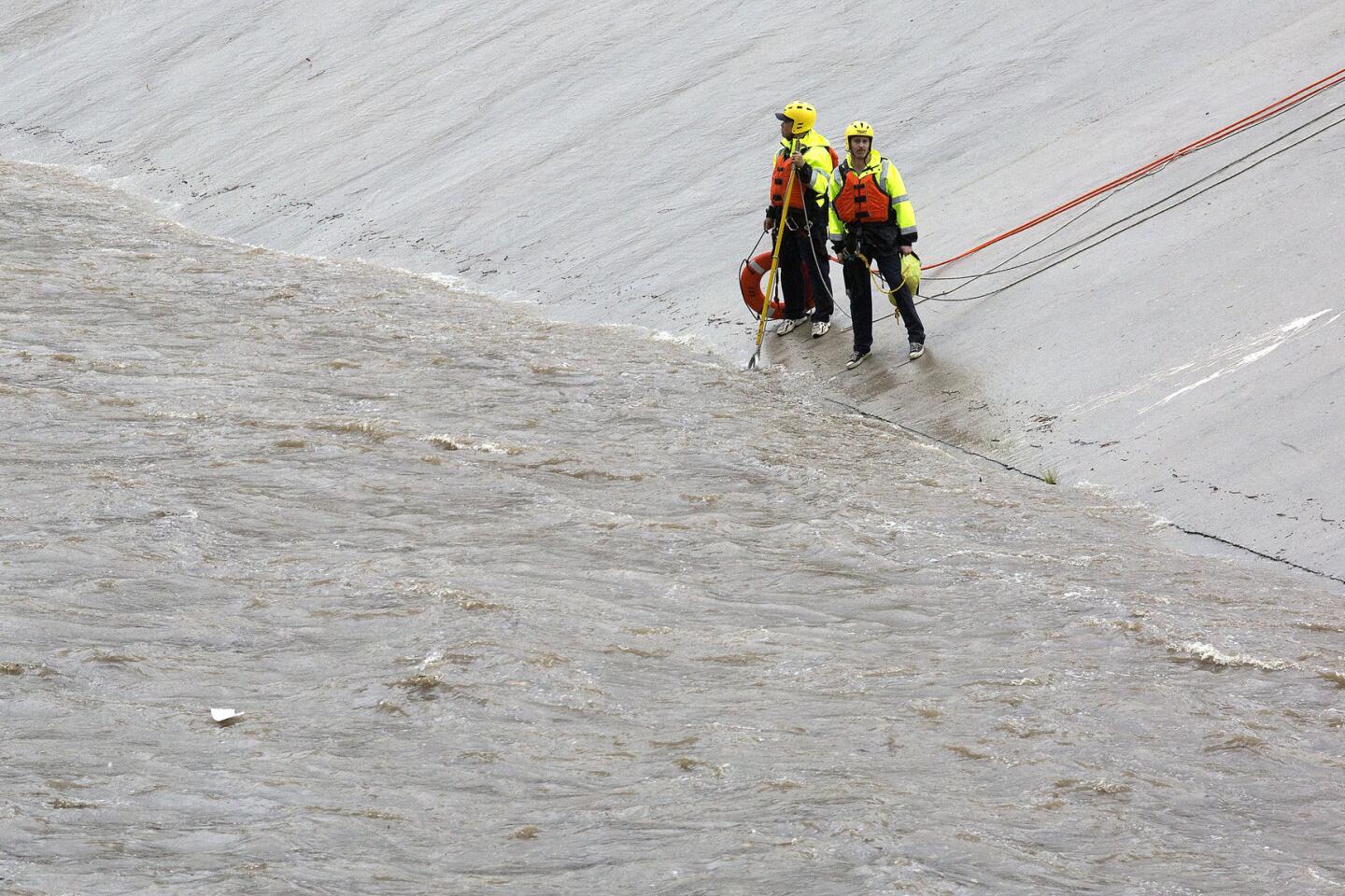
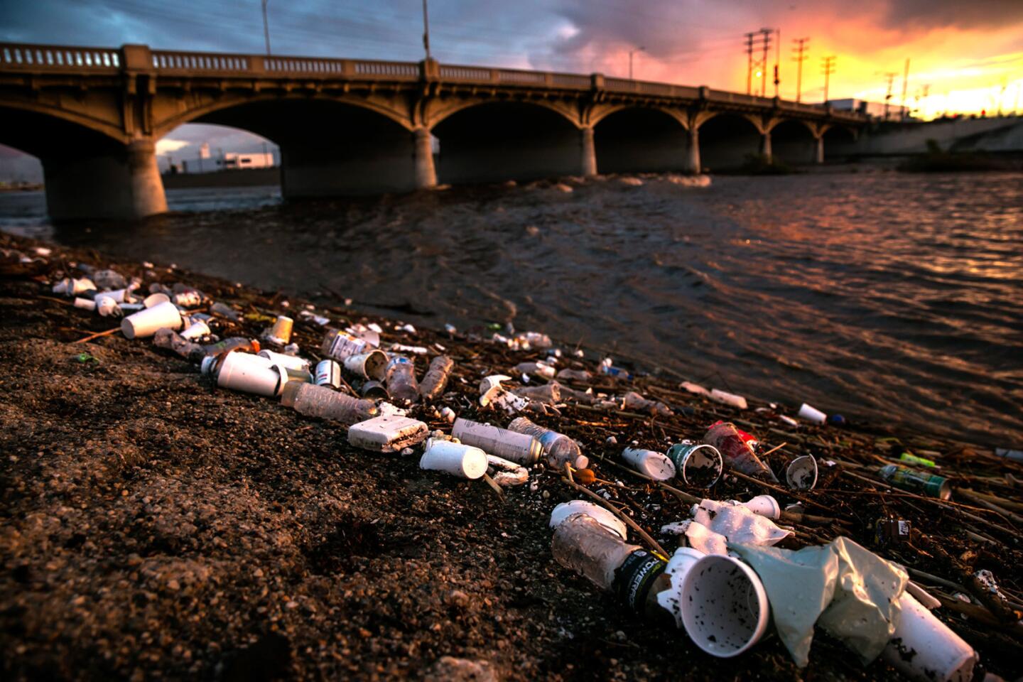
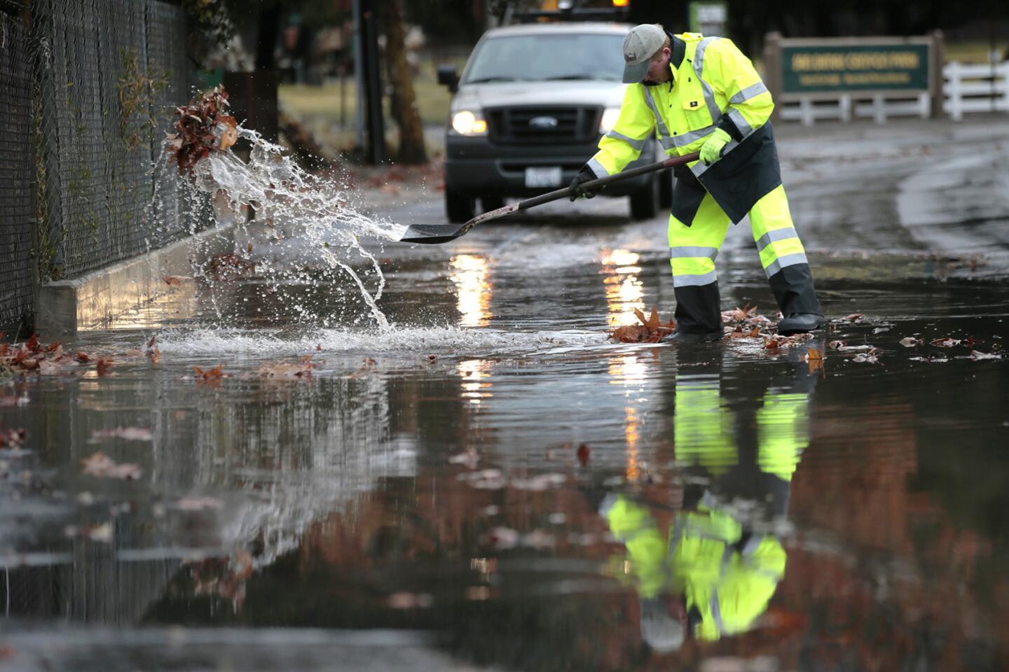
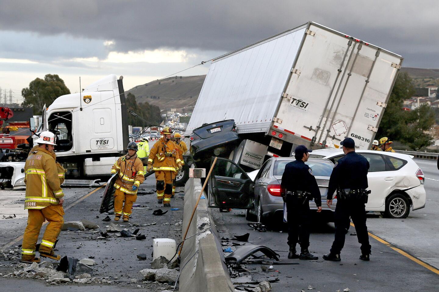
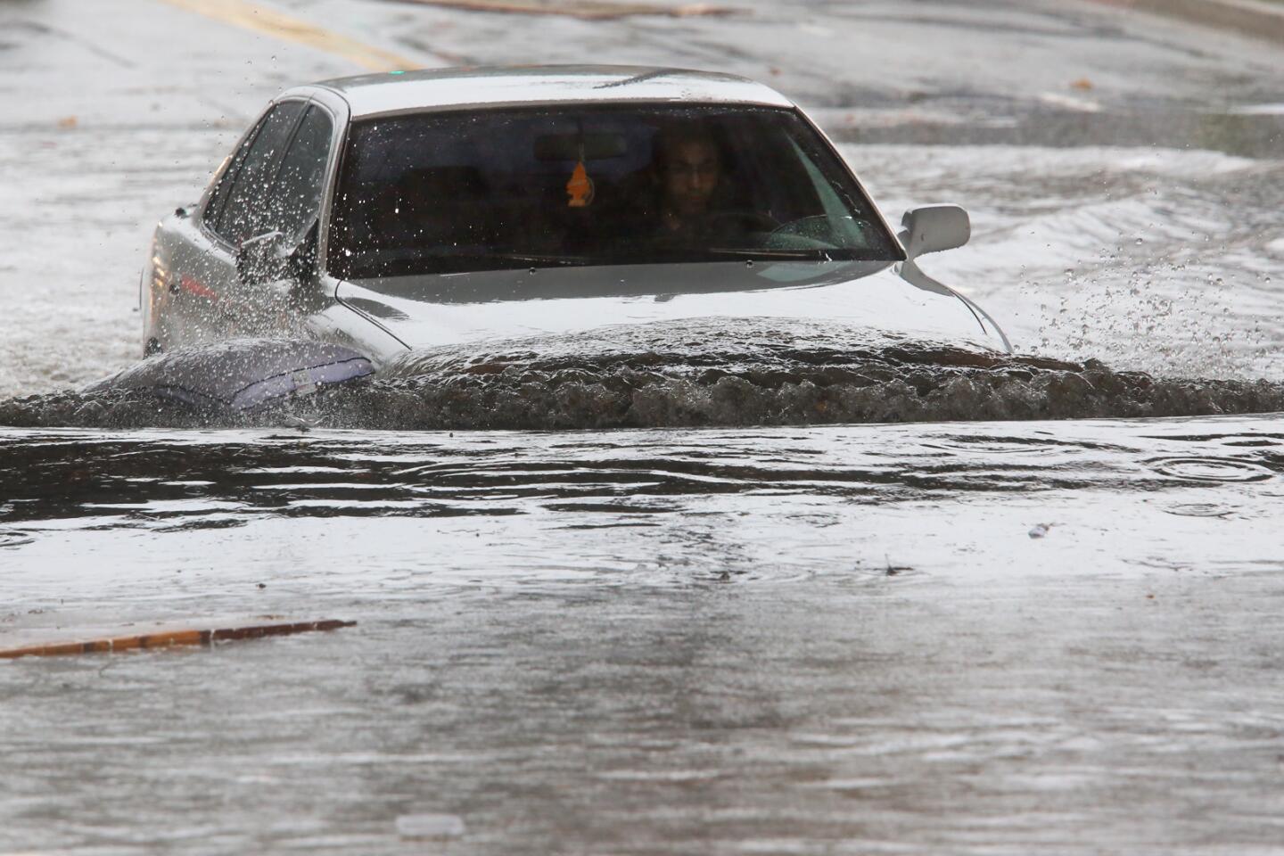
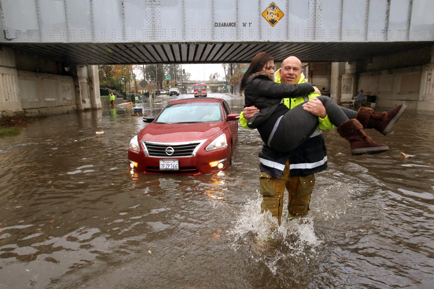
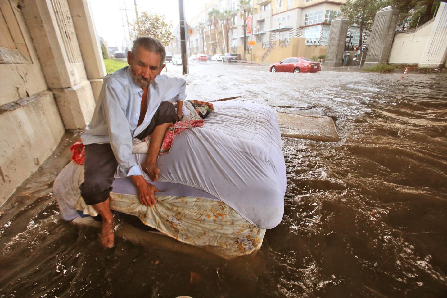
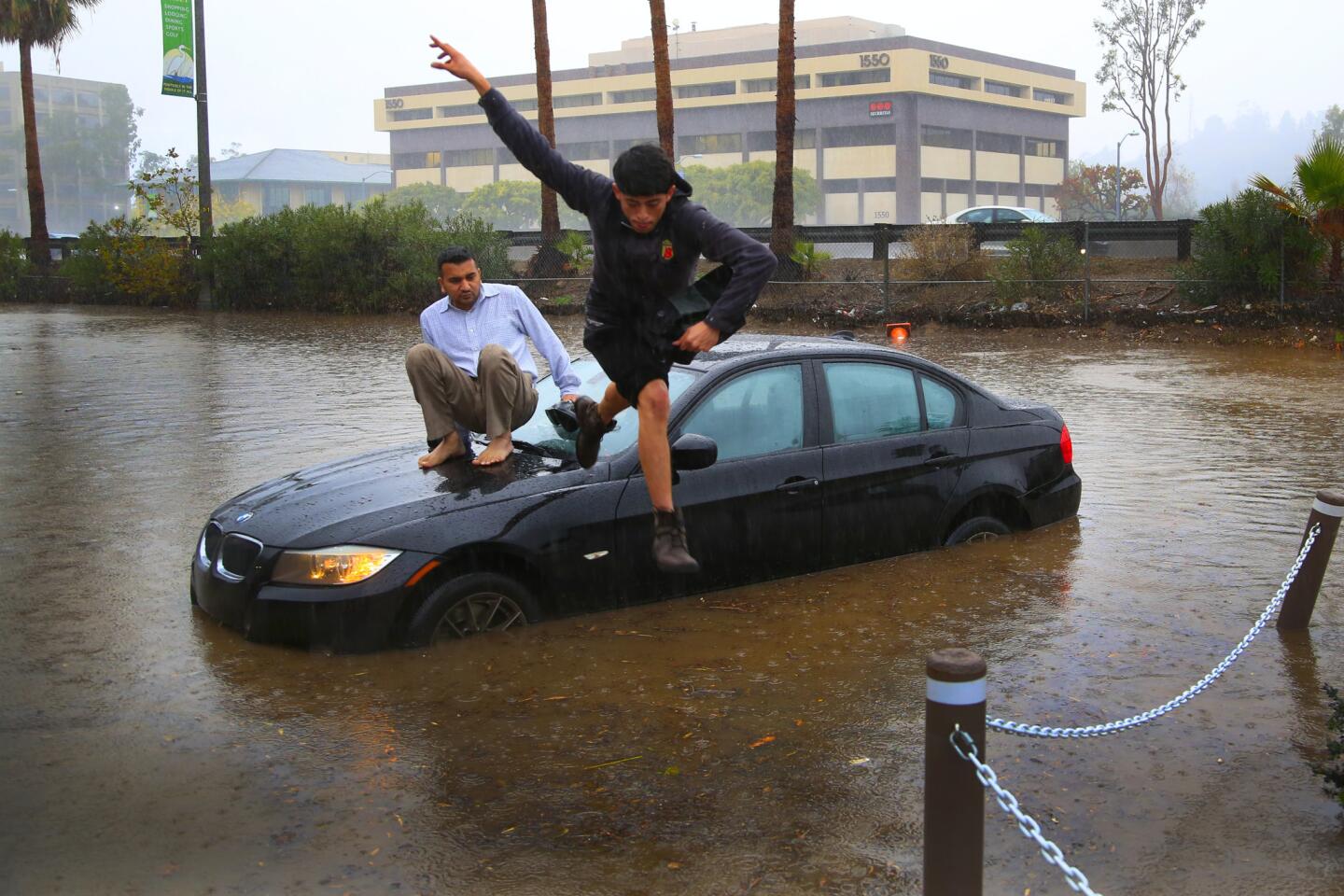
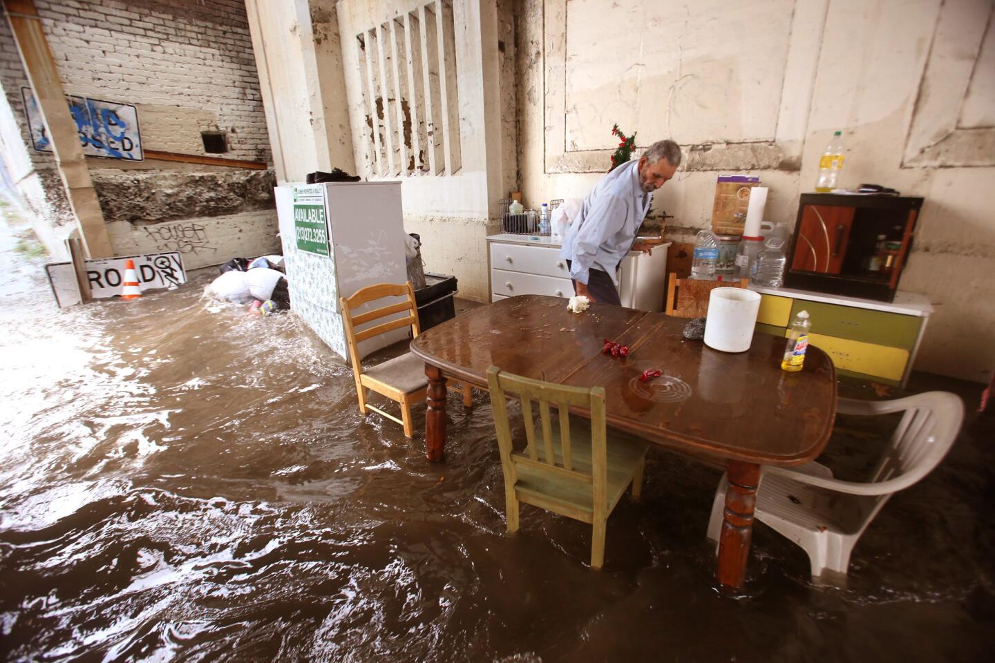
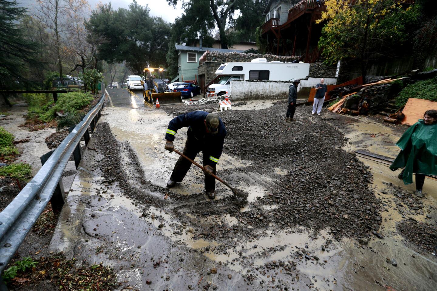
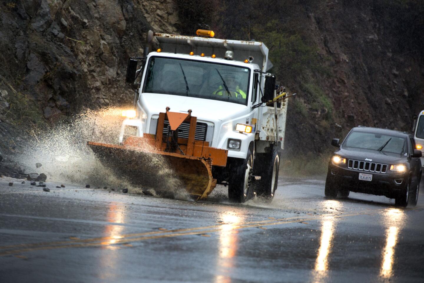
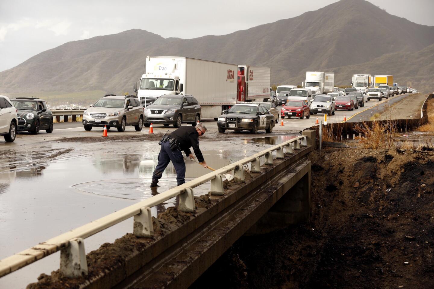
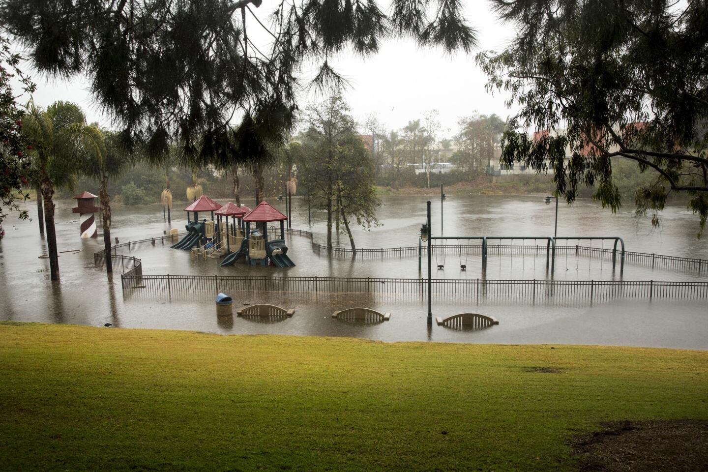
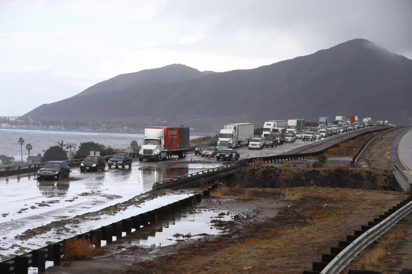
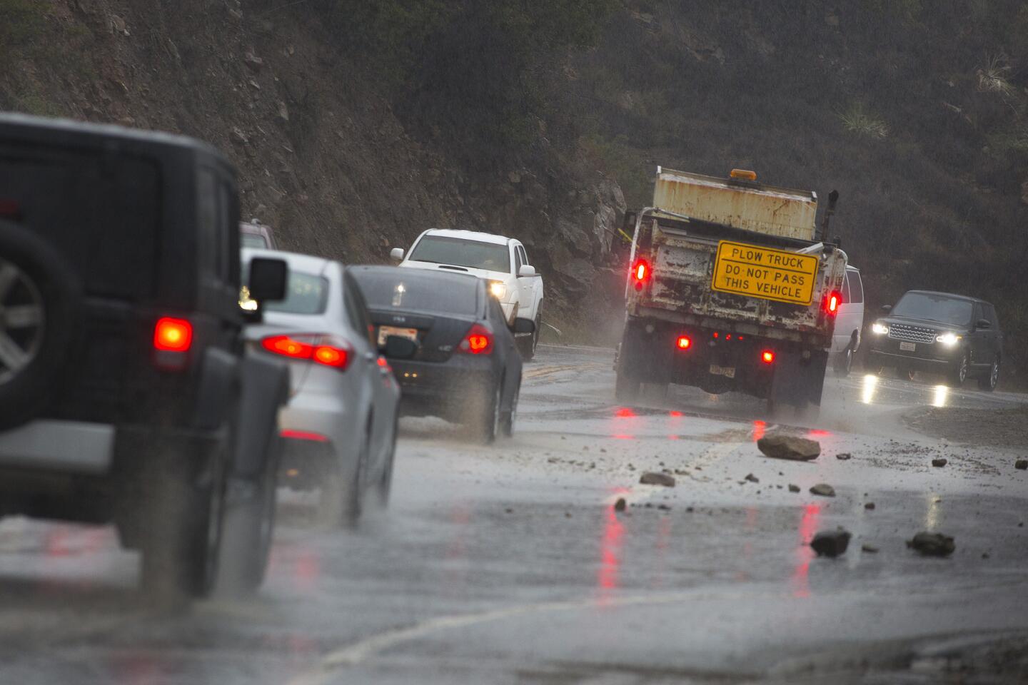
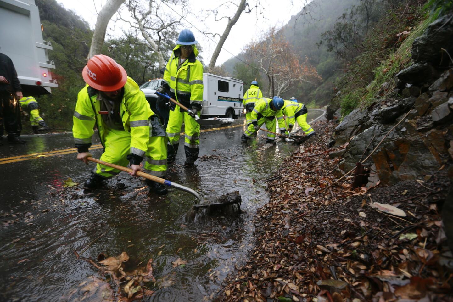
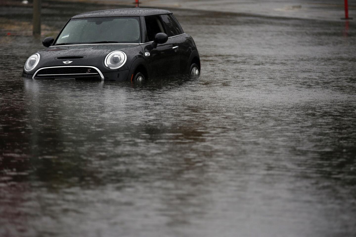
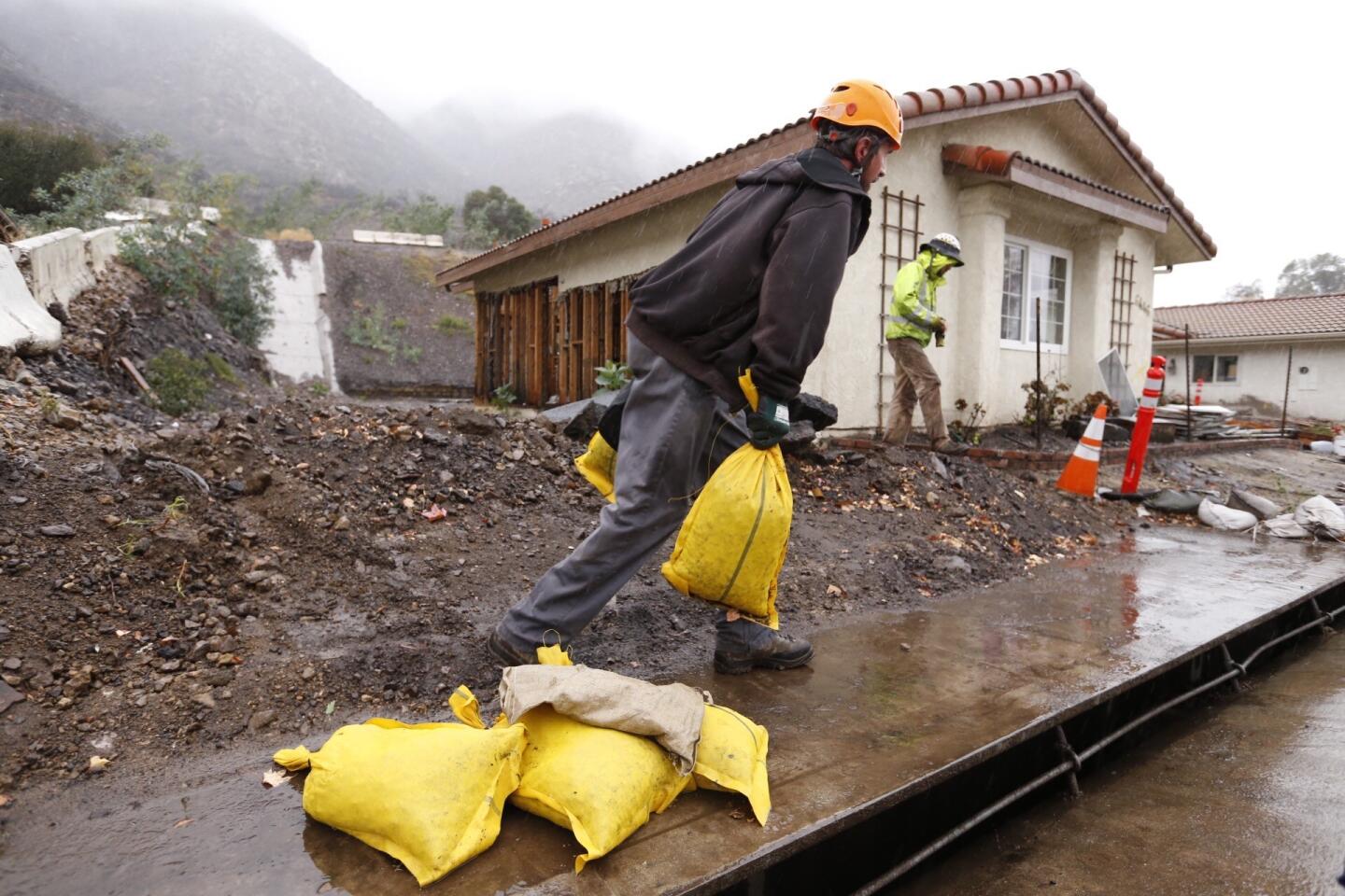
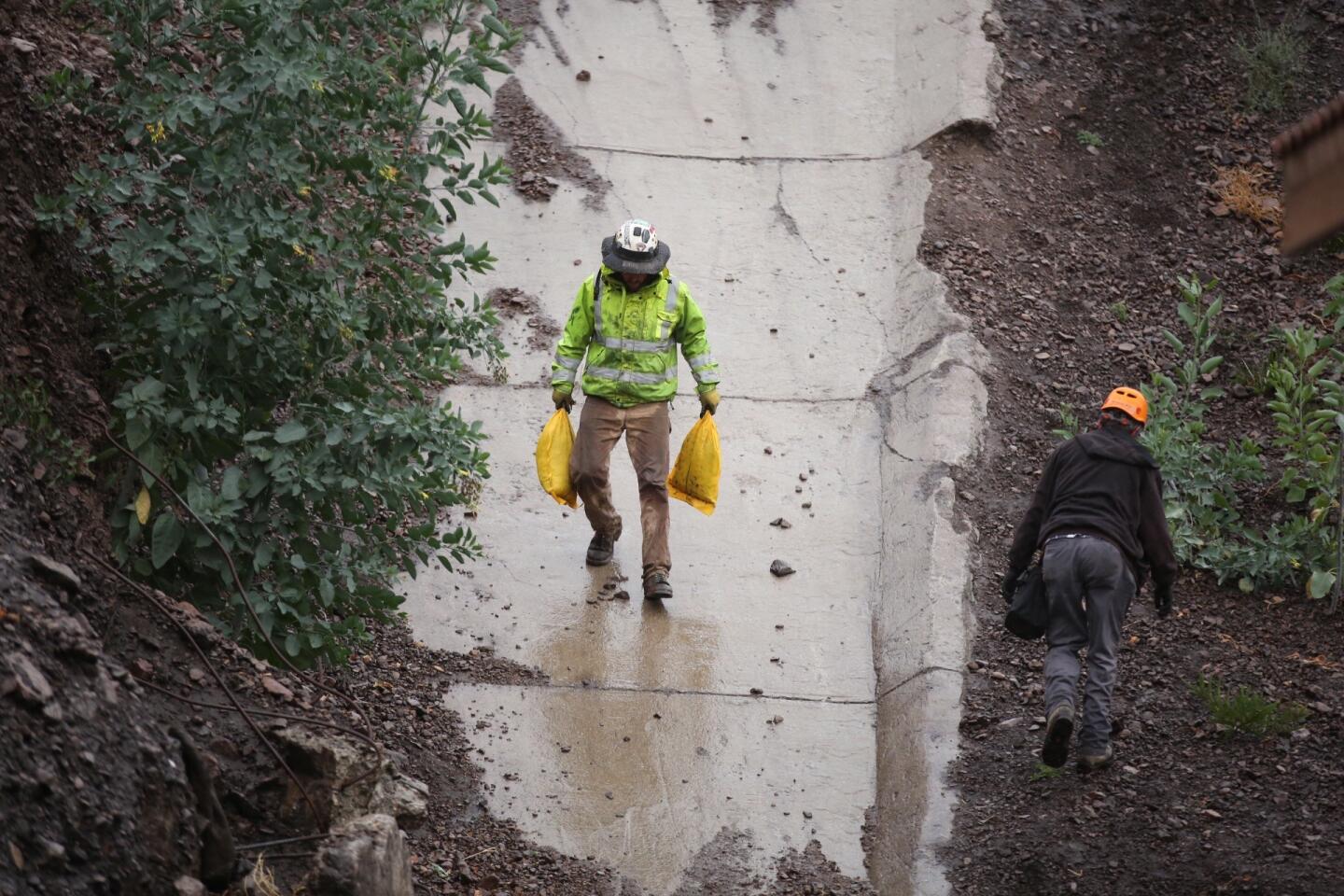
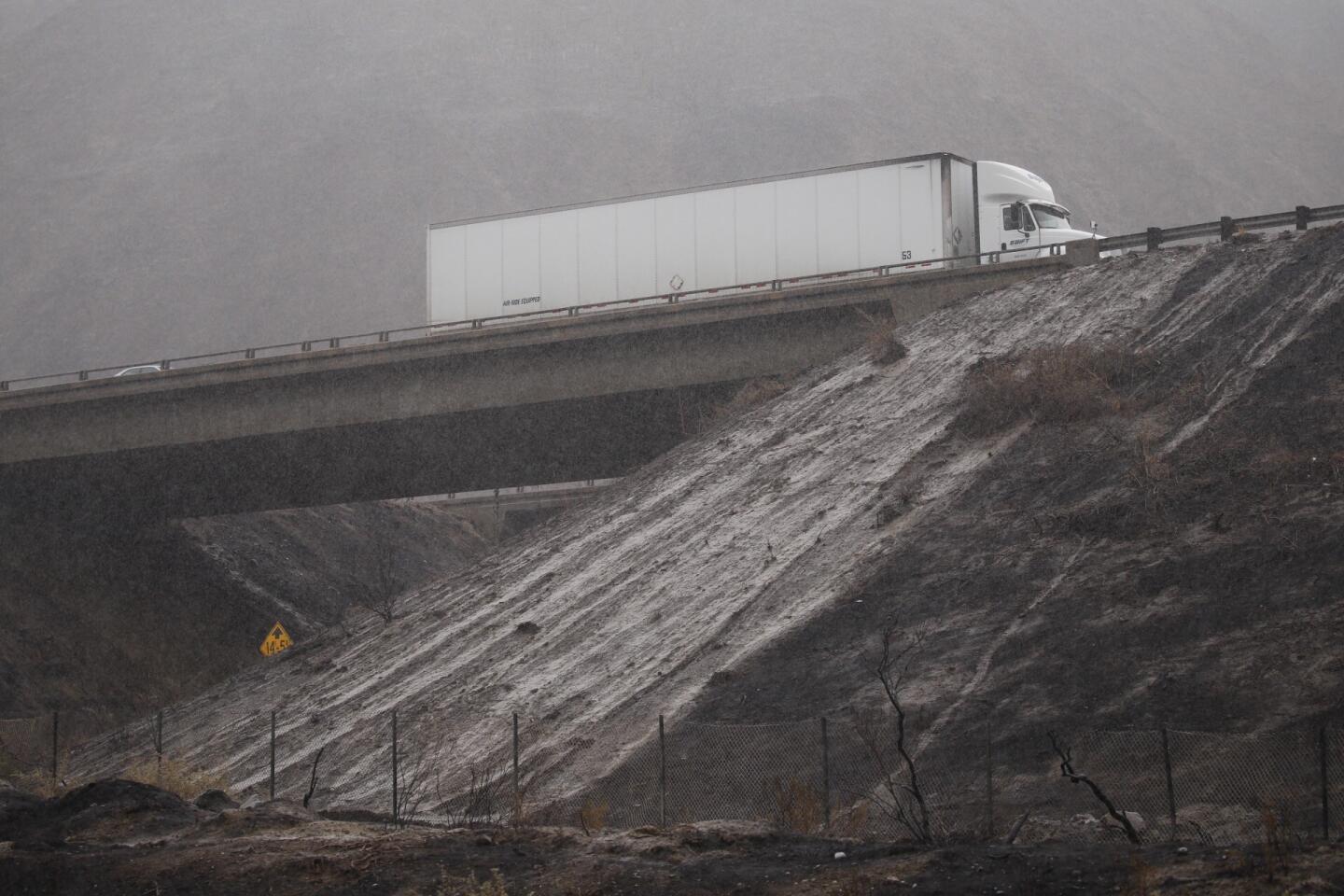
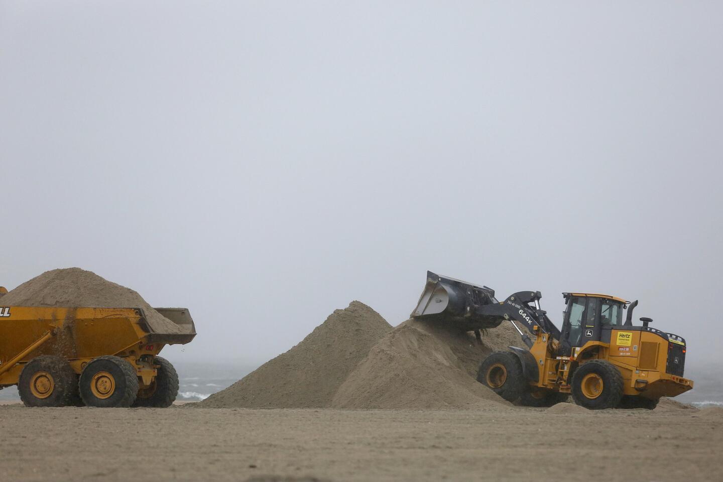
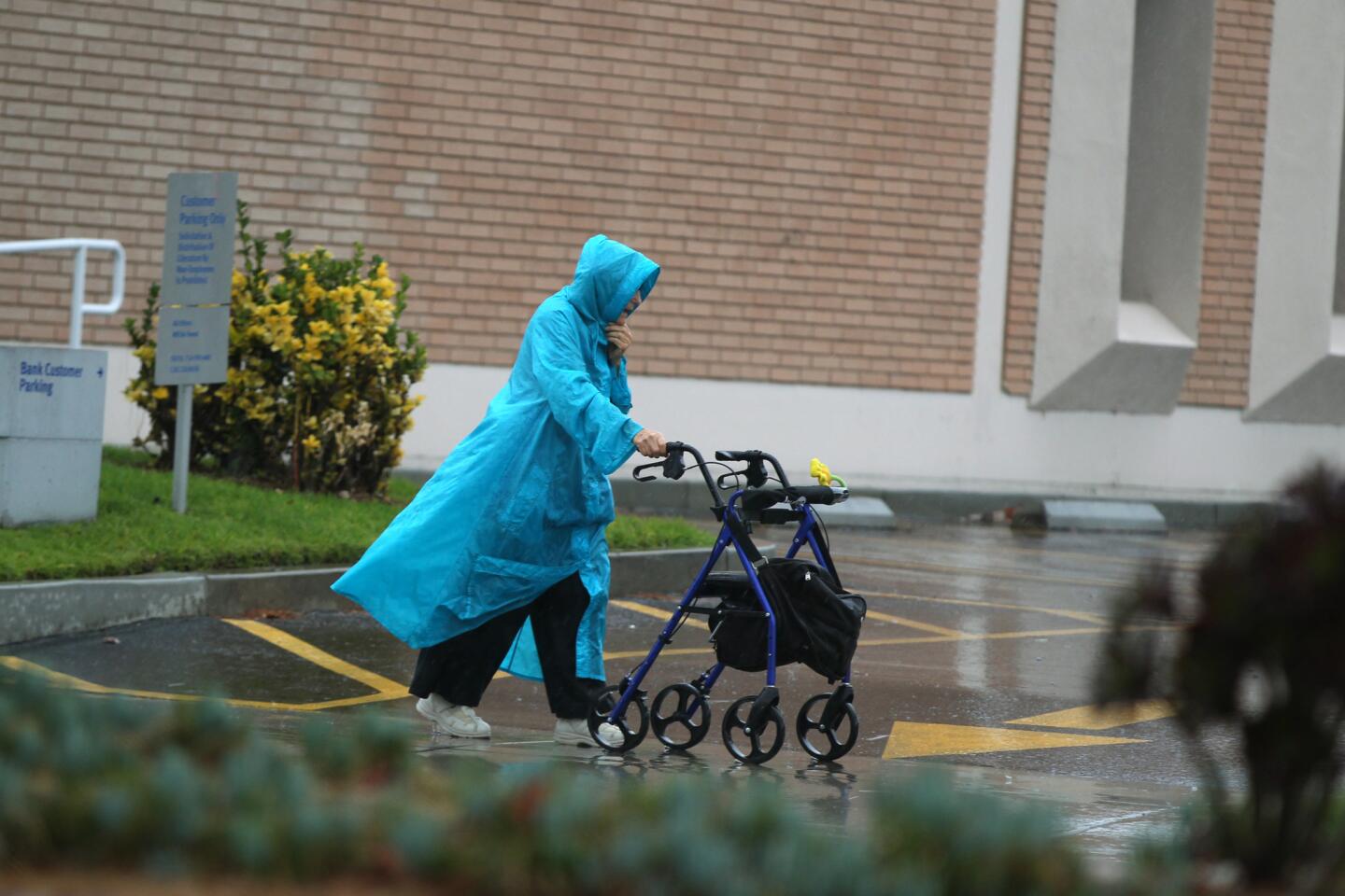
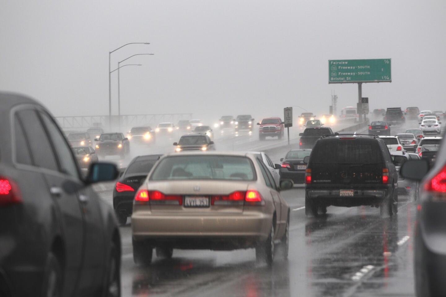
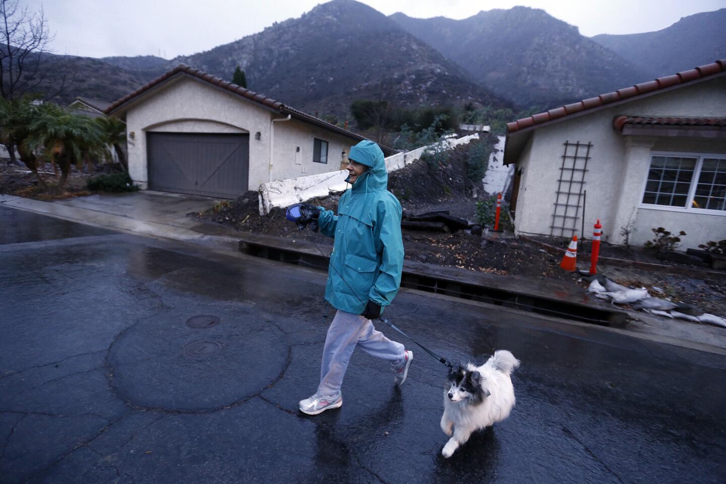
This weekŌĆÖs storms caused some flooding of roadways and freeways, with relatively modest mudslides in areas recently burned by fires.
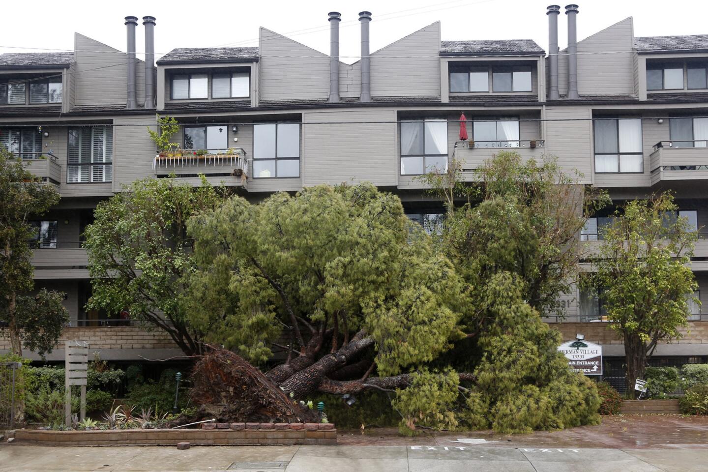
But overall, the infrastructure held up despite intense downpours in some areas.
ŌĆ£We will be looking at the modeling and how the water actually flowed,ŌĆØ said Stephen Frasher, spokesman for the Los Angeles County Department of Public Works, ŌĆ£but I havenŌĆÖt heard of any trouble spot locations that emerged as a surprise from the storm.ŌĆØ
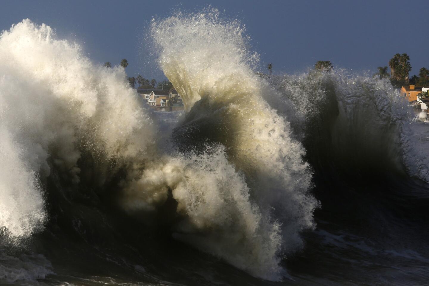
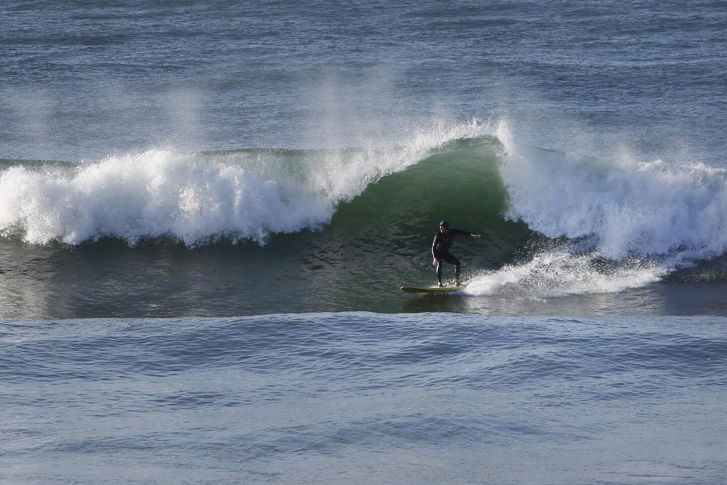
This week was marked by three El Ni├▒o storms in a row coming in from the Pacific.
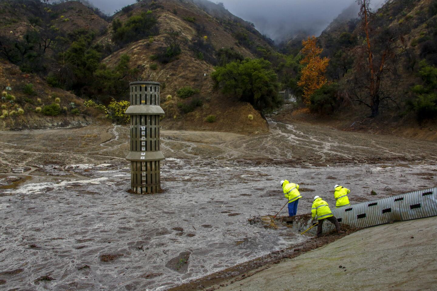
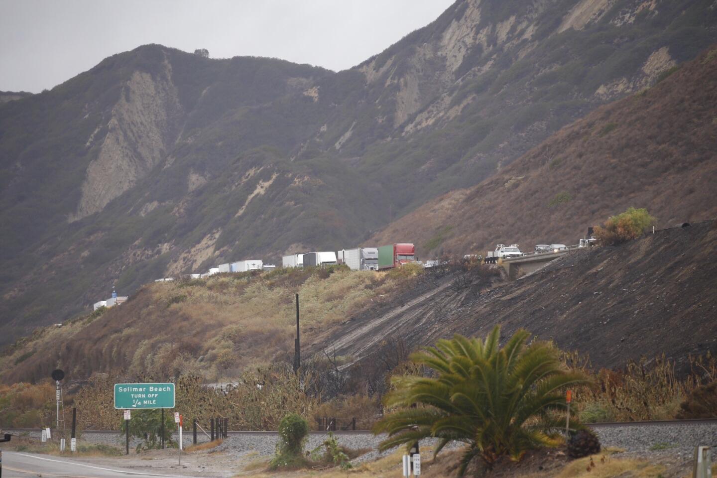
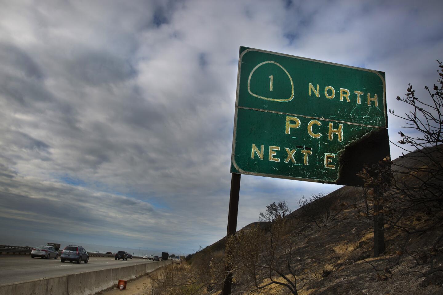
L.A. CountyŌĆÖs public works agency continues to focus special attention in parts of Azusa and Glendora near where the Colby fire burned 1,952 acres in 2014, Frasher said. Ventura County officials are keeping an eye on several areas there that were recently burned, notably around Solimar Beach. Mudflows from that burn zone created problems Wednesday on the 101 Freeway.
From a scientific standpoint, Bill Patzert, climatologist at NASAŌĆÖs Jet Propulsion Laboratory, said this week was a ŌĆ£textbookŌĆØ El Ni├▒o system.
He noted the stormsŌĆÖ single-file formation over the Pacific, like jetliners queuing for an airport landing. Once they made landfall, the rain fell at a clip faster than during the two previous big El Ni├▒o periods in 1997-98 and 1982-83, Patzert said.
See more of our top stories on Facebook >>
More than 2 1/2 inches of rain fell in four days in downtown Los Angeles this week, according to the National Weather Service. In 1998, it rained only four inches downtown for all of January; in 1983, rainfall for the month hit nearly seven inches, Patzert said.
Based on this, the 2016 El Ni├▒o ŌĆö so far at least ŌĆö is shaping up to be impressive, he said.
Times staff writer Garrett Therolf contributed to this report.
For breaking California news, follow @JosephSerna.
ALSO
Claims in Porter Ranch gas leak could cost utility billions of dollars
NFL wants a team or two in L.A., and owners head to Houston for a vote
3 teens from China will go to prison for a San Gabriel Valley attack on a classmate
More to Read
Sign up for Essential California
The most important California stories and recommendations in your inbox every morning.
You may occasionally receive promotional content from the Los Angeles Times.
