Another ‘heaviest rainfall of the season’ blankets Los Angeles during an unusually wet winter

- Share via
With every storm this winter, climatologists and water managers have crossed their fingers, hoping for continued rain and snowfall to cushion the state’s water supply.
So far, the streak has held.
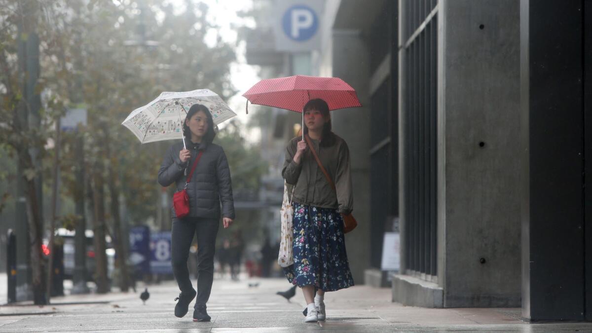
This week is expected to bring the heaviest rainfall of the season to date, adding to an already wet winter that has replenished reservoirs and created a healthy snowpack in the Sierra Nevada, a major source of California’s water supply.
Climatologist Michael Anderson said that after hovering just below average precipitation levels, the state has now reached above-usual levels — with an average of 11.85 inches of precipitation across the state from October through January.
“We’re right on track,” he said, adding that with upcoming storms “we expect to see that continue to rise.”
Starting Wednesday evening, San Diego, Orange and Riverside counties could be receive up to 2 inches of rain along the coast and up to 10 inches at higher elevations, bringing the potential for mudflows in recent burn areas, meteorologists said.
“It’s going to give us the biggest storm we’ve seen so far this season,” said Jimmy Taeger, a meteorologist with the National Weather Service in San Diego.
The steady stream of storms starting in late 2018 has put some at ease after a year that was the third-driest since record-keeping began in 1877.
Precipitation this season has been just above average across the Sierra Nevada. Since Oct. 1, the northern Sierra has received 33.3 inches of rain, the central Sierra has received 27.8 inches of rain and the southern Sierra has received 19.8 inches of rain.
The rain filled up the state’s reservoirs, with 580 billion additional gallons of water in January.
“This is shaping up to be a wet year,” said Chris Orrock, a spokesman for the California Department of Water Resources, citing atmospheric-river events that gave the state a good three weeks of rain in January before a round of cold storms arrived at the start of February.
Downtown Los Angeles has already received 13.29 inches of rain since Oct. 1, 153% of average for this time of year. The city’s annual average is 14.93 inches. San Francisco, meanwhile, has received 12.44 inches of rain in the same period, or 93% of average for this time of year.
Precipitation totals for cities in the Bay Area and the Central Valley have been about average for this time of year, following a relatively dry November and December, meteorologist Jan Null said. San Francisco even saw snow on Feb. 5. That’s historically the snowiest day of the year there, but the last time the city had a truly impressive snowfall was 43 years ago, when 5 inches fell on the city’s Twin Peaks and an inch dropped downtown, according to Null.
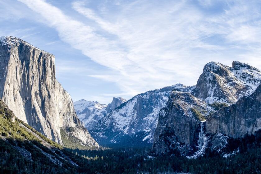
A series of storms has brought snow to low elevations, blanketing mountain ranges that don’t typically get much powder. Mountain ranges from the Bay Area to Los Angeles provided a dazzling backdrop to cityscapes.
In the Sierra, surveyors recorded 25 inches of snow — equal to 9 inches of water — at the beginning of January. A month later, that had doubled.
Despite the seemingly impressive totals, the amount is just below average. Still, after each measurement, weather experts remain cautiously optimistic. Last month, Orrock warned that the state couldn’t only rely on a rainy January.
“We don’t know if we’re going to get any more rain the rest of the year,” he said. “We’re only halfway through.”
Now, the state’s snowpack is at 129% of average for today’s date. Anderson said a dry period was expected after this latest round of storms and that a high-pressure zone would move in.
But it’s likely February will see a bit more rain toward the end of the month.
“It’s been a lot different than what we’ve seen in the last decade,” Anderson said.
Twitter: @r_valejandra
More to Read
Sign up for Essential California
The most important California stories and recommendations in your inbox every morning.
You may occasionally receive promotional content from the Los Angeles Times.


