Incoming El Niño storm brings risk of tornado and dime-sized hail
- Share via
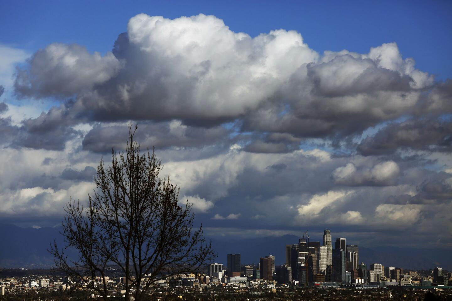
The next in a series of storms rolling through Southern California on Wednesday is bringing with it the risk of severe thunderstorms and a slim chance of a tornado, the National Weather Service said.
In an unusual development, the Weather Service’s Storm Prediction Center listed Southern California -- and its more than 19.2 million residents -- as having a “marginal” risk of severe thunderstorms or even a tornado. Marginal is the center’s lowest category of risk.
“The main thing is they’re just seeing instability in the atmosphere today.… I think it’s pretty broad where it could happen. It’s a very marginal chance,” said NWS meteorologist Emily Thornton.
Join the conversation on Facebook >>
On Tuesday, a tornado was reported in Vernon that ripped off pieces of roofing and caused other damage to eight commercial buildings. The event was downgraded to a “gustnado” by Wednesday morning, officials said.
The difference between the two is size and power, Thornton said. Unlike a tornado, a gustnado is not produced by atmospheric rotation in the storm system, she said.
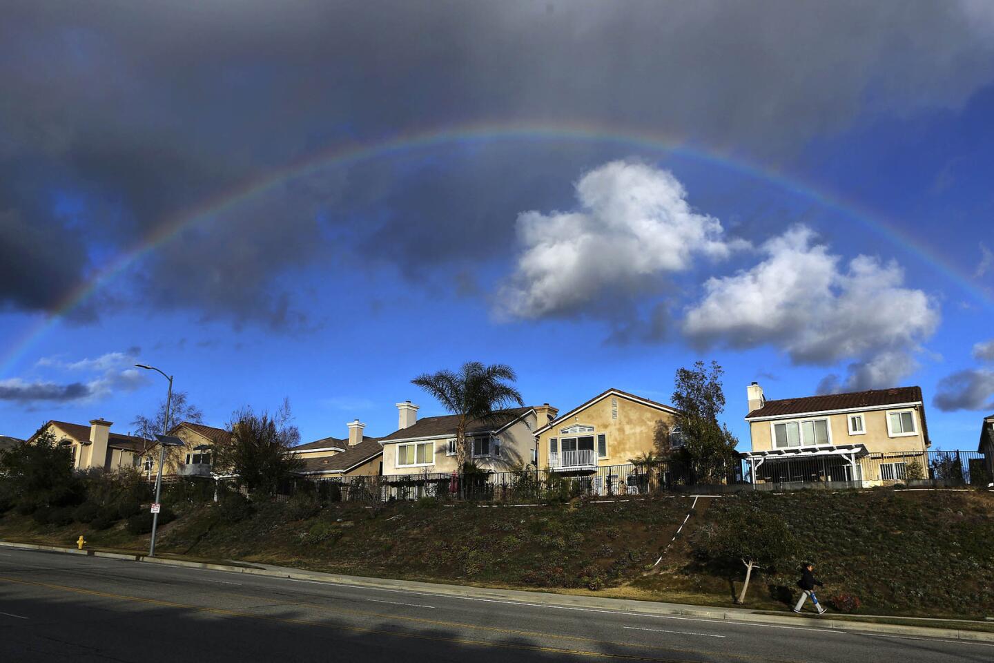
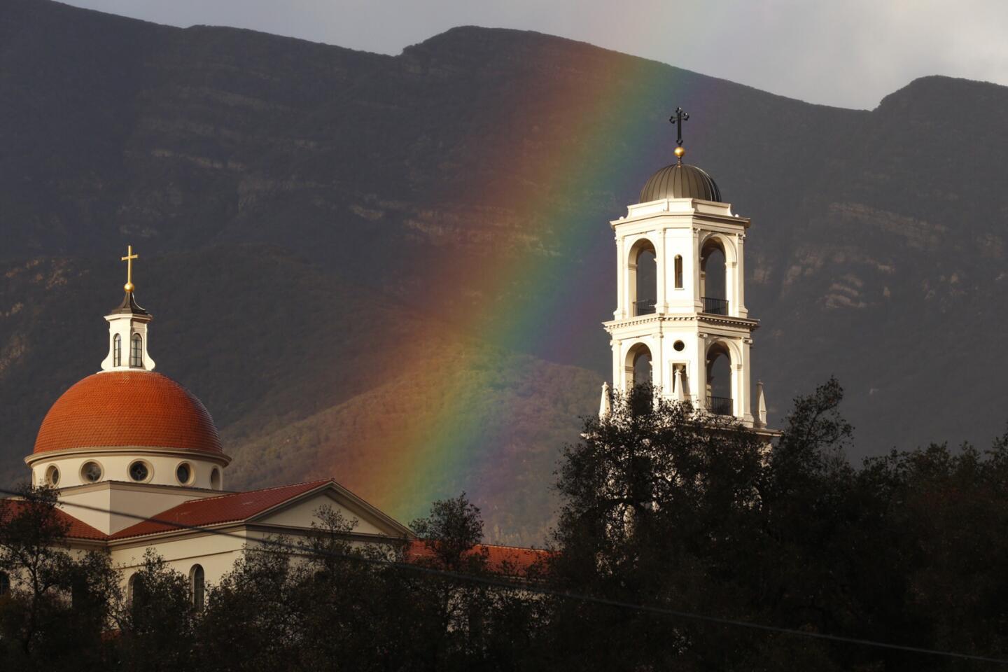
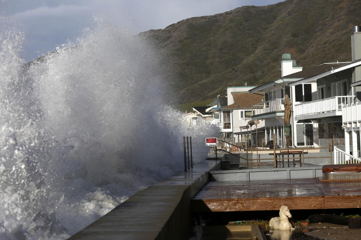
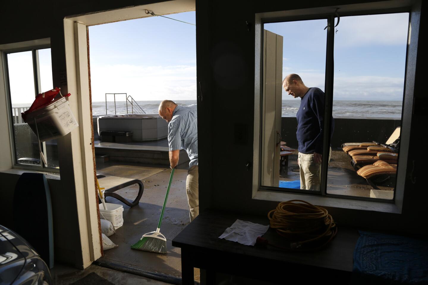
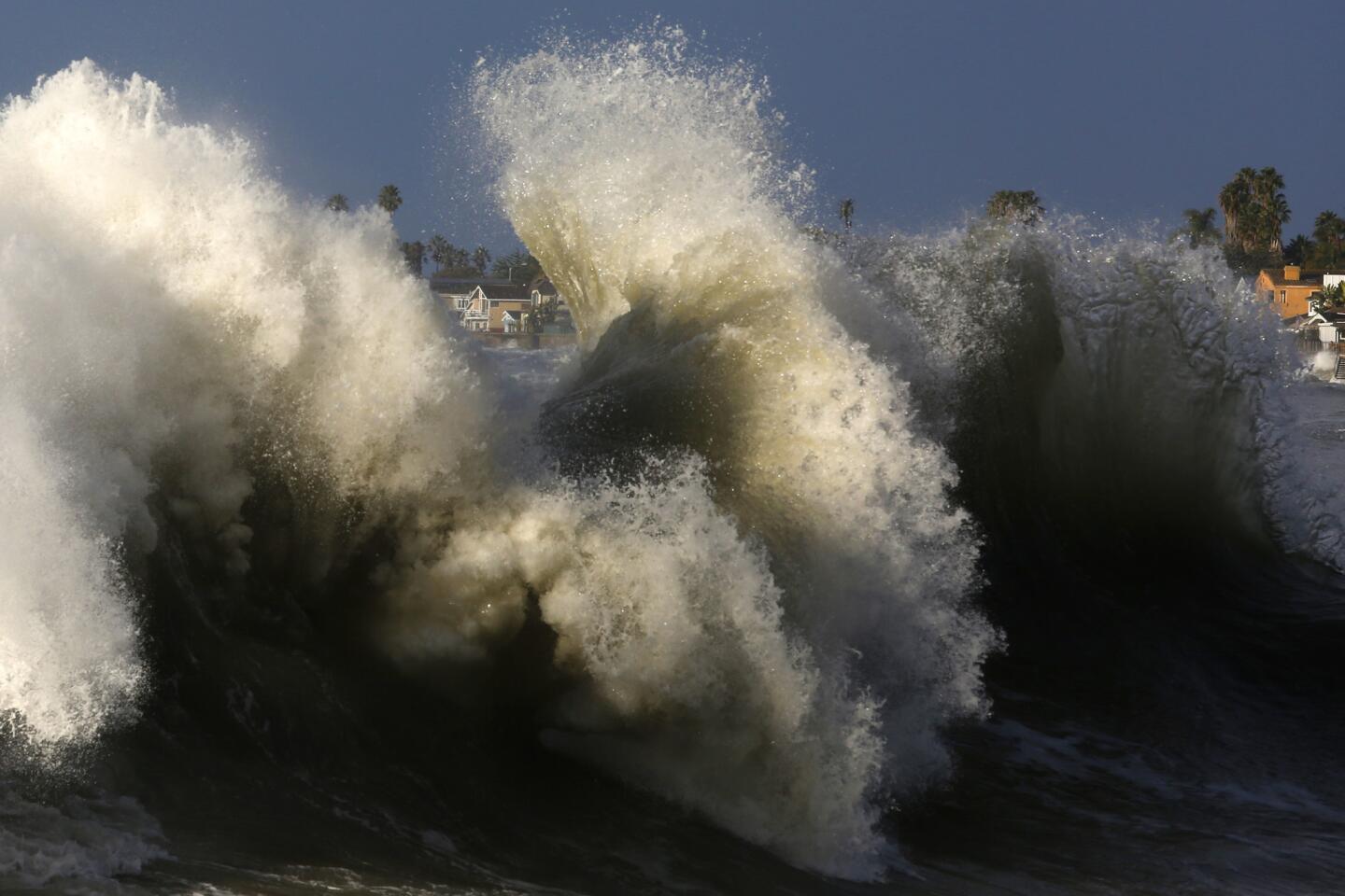
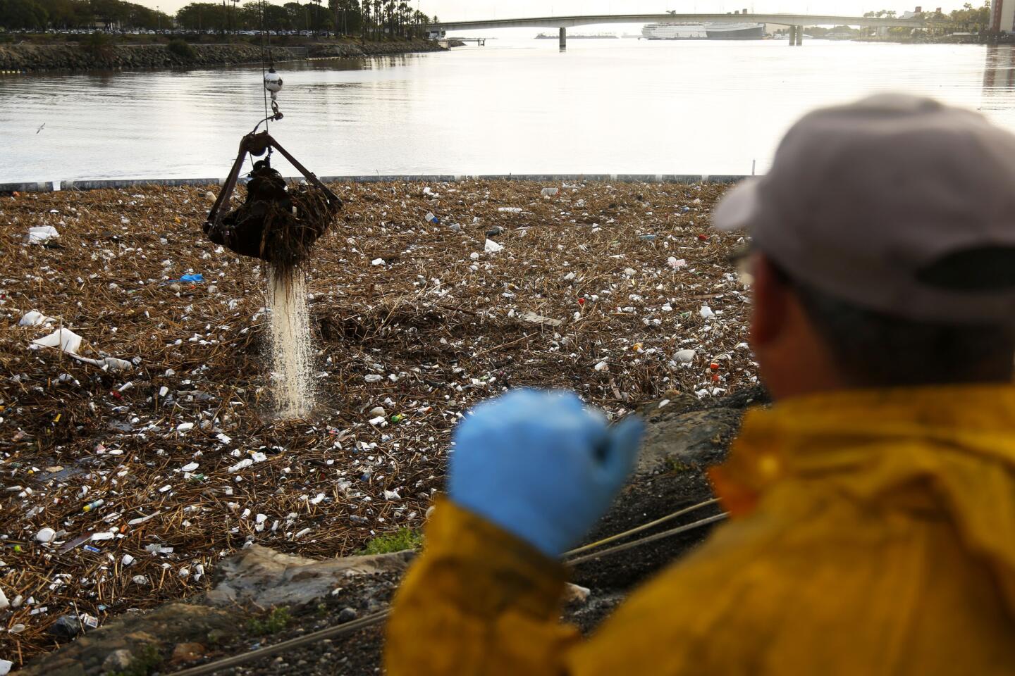
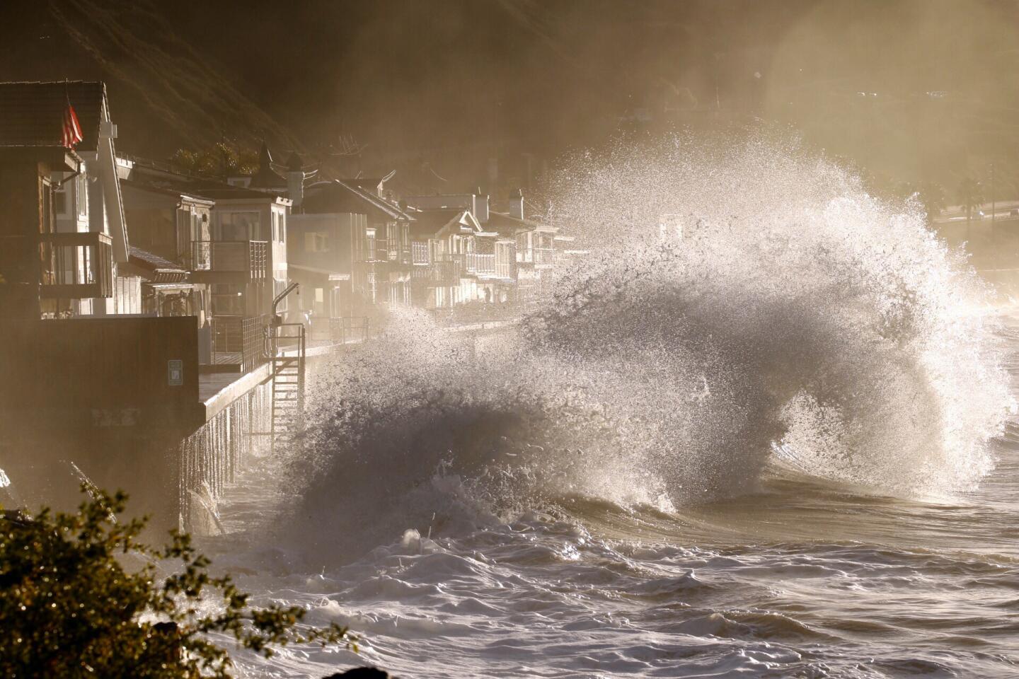
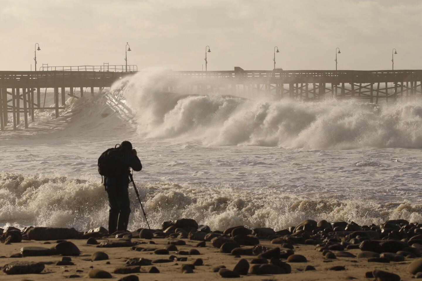
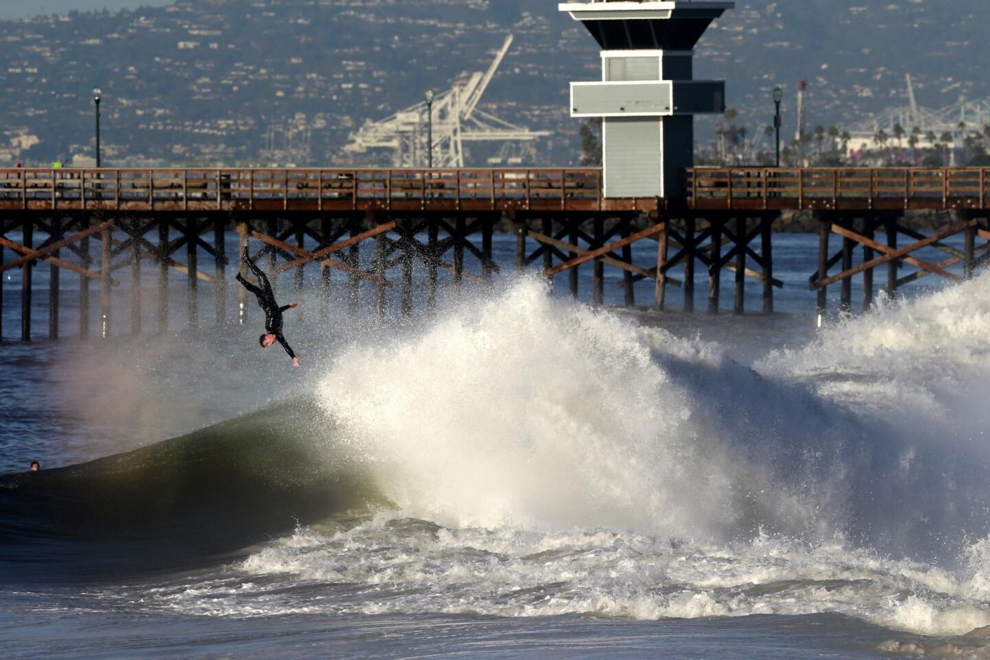
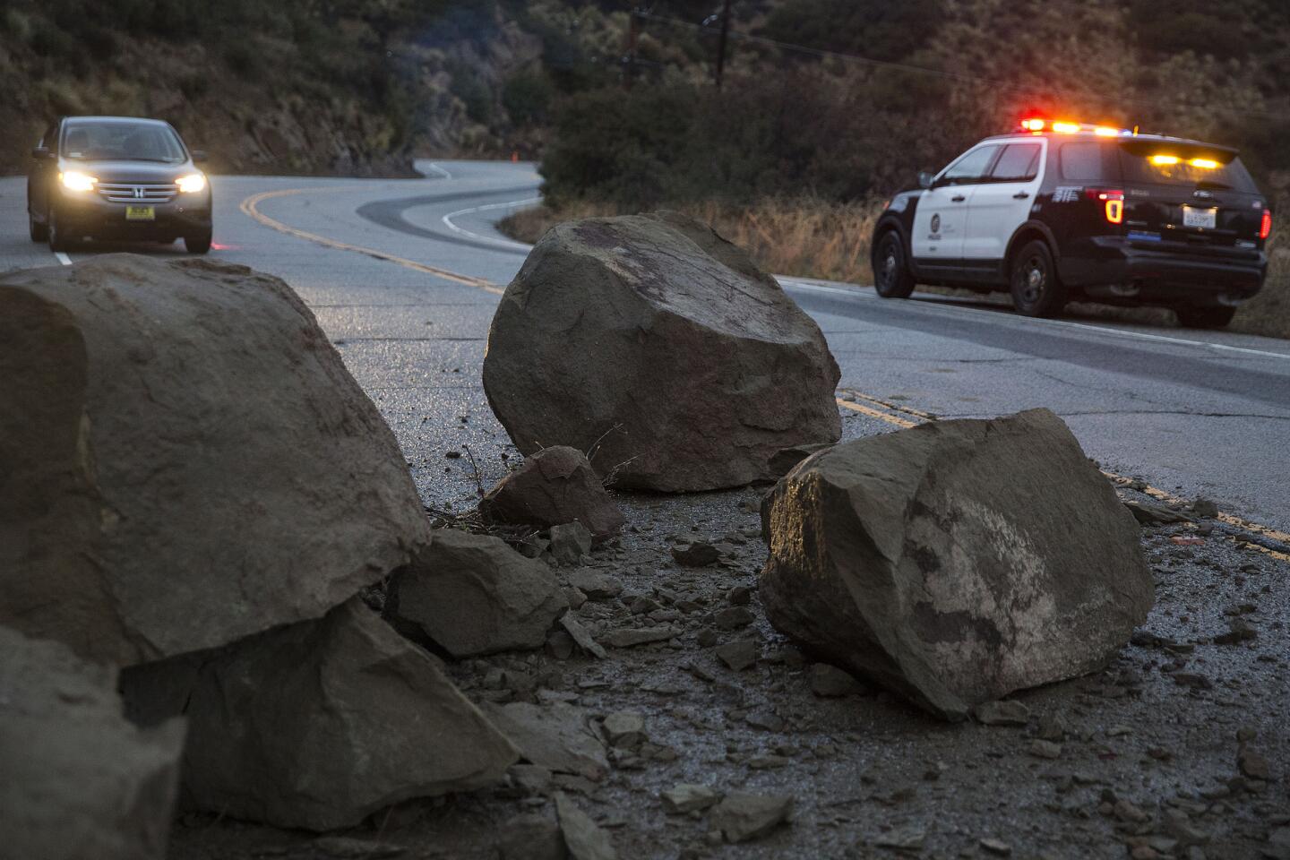
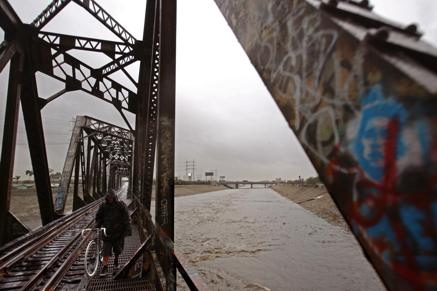
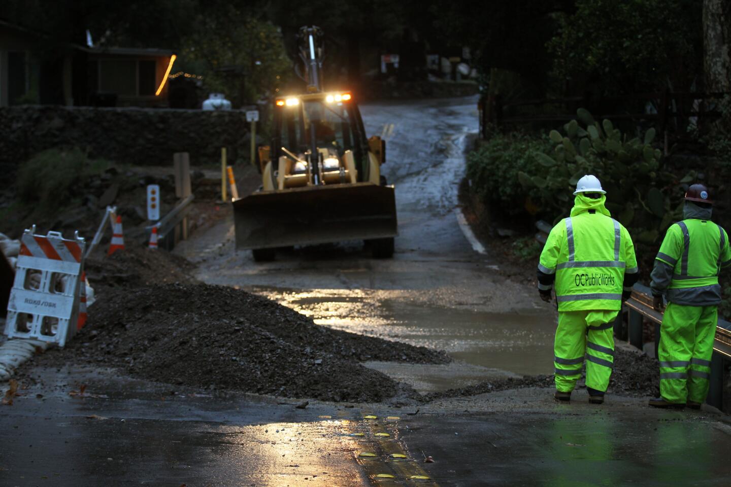
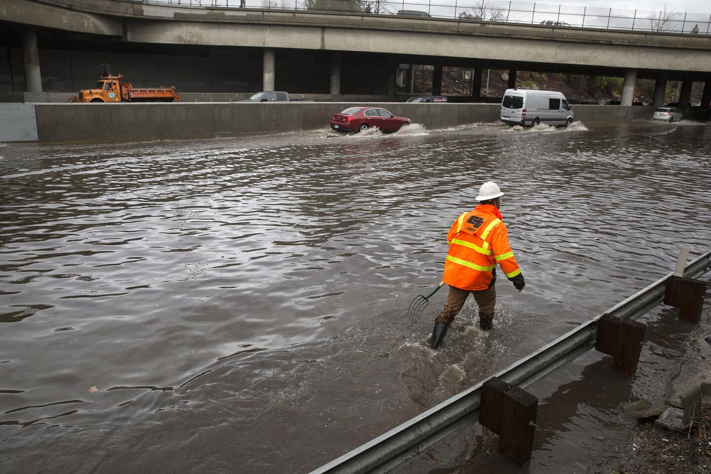
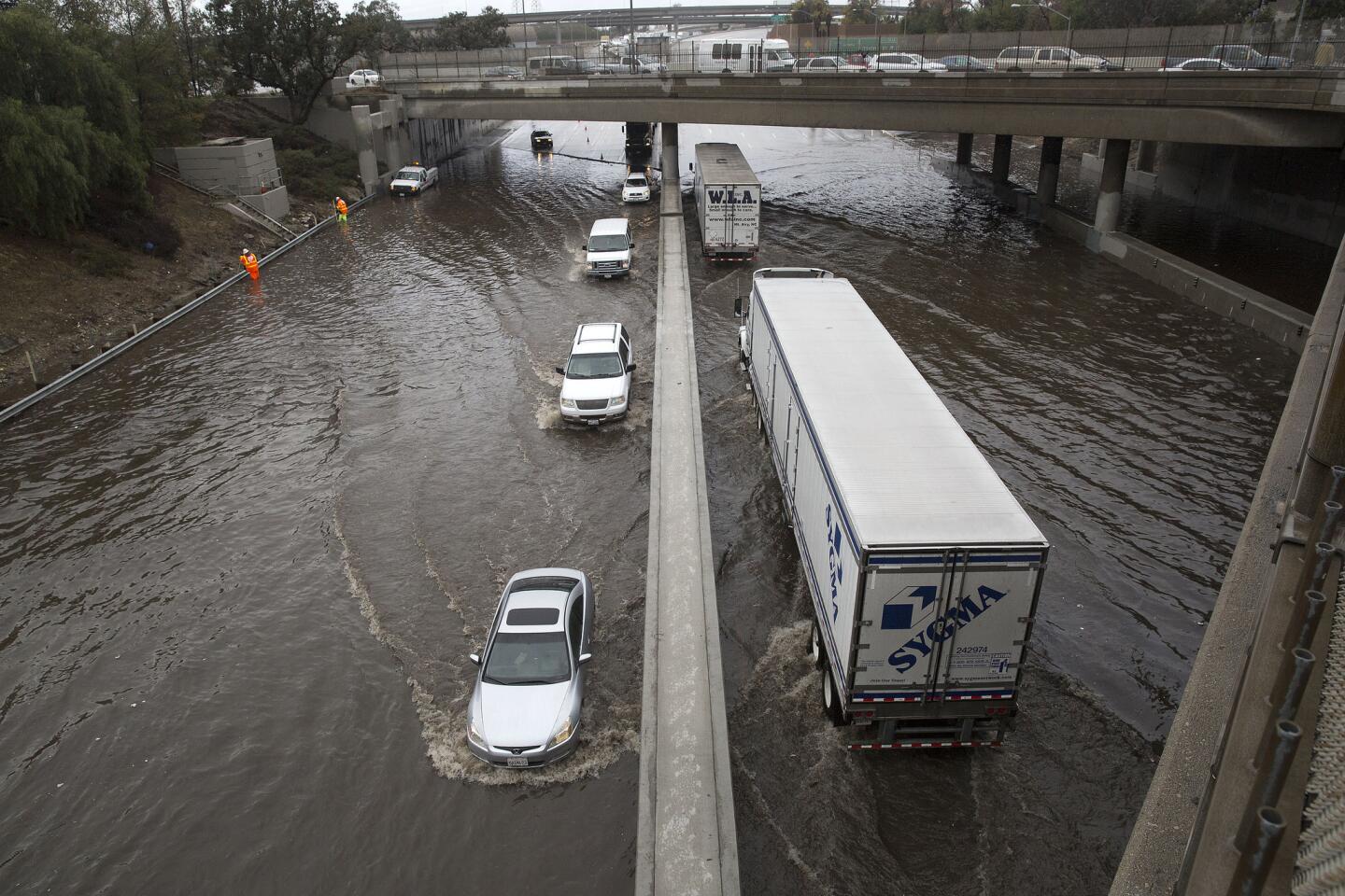
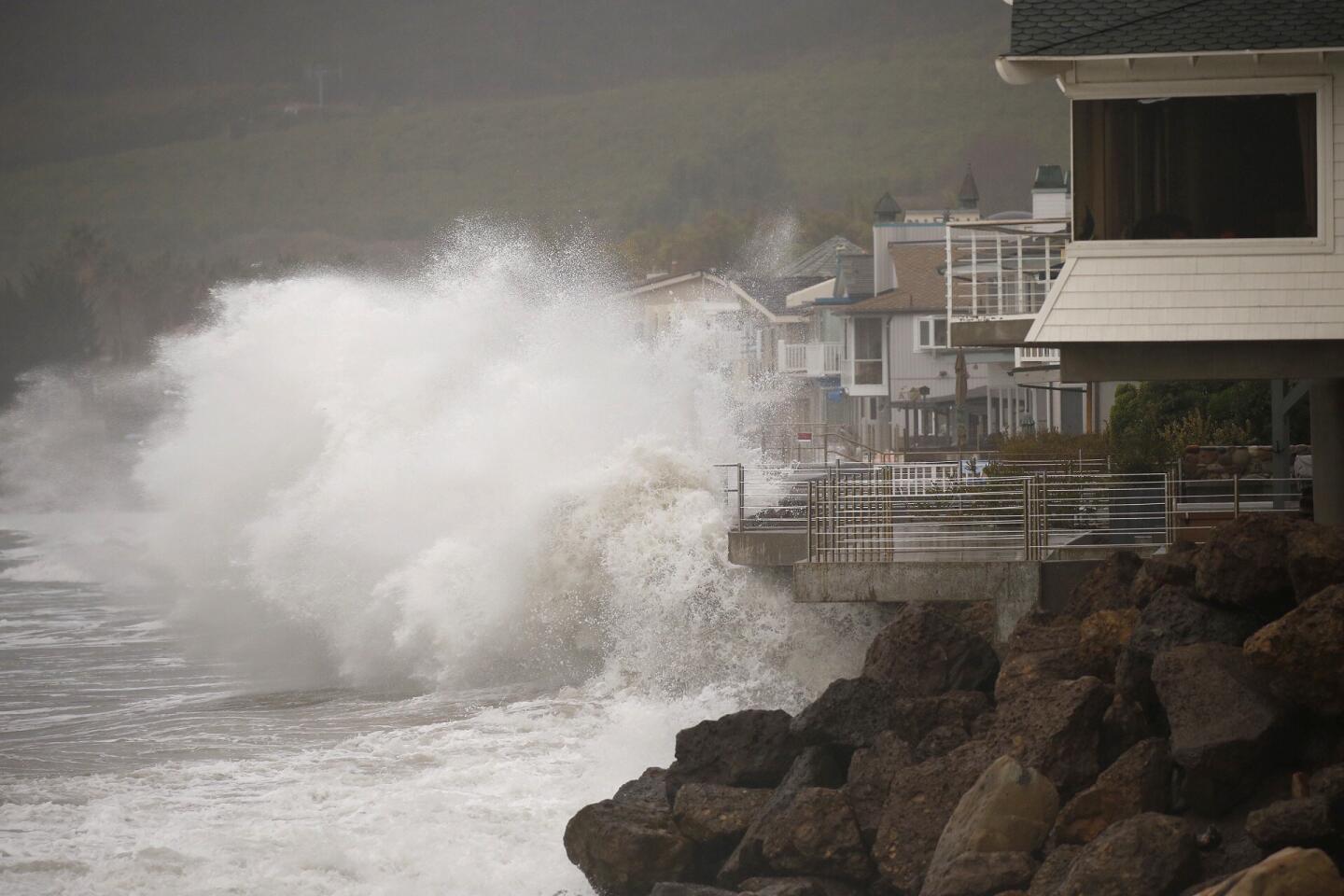
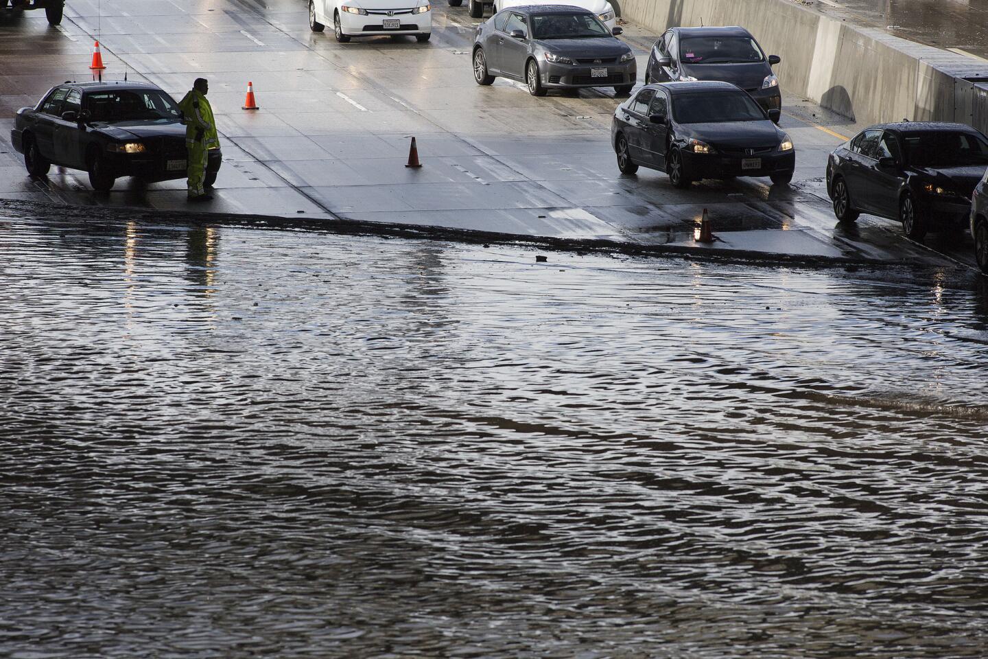
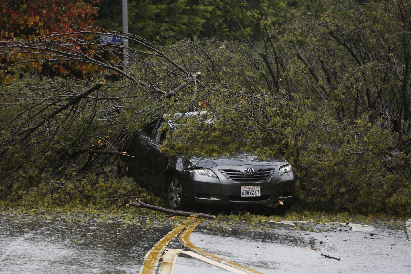
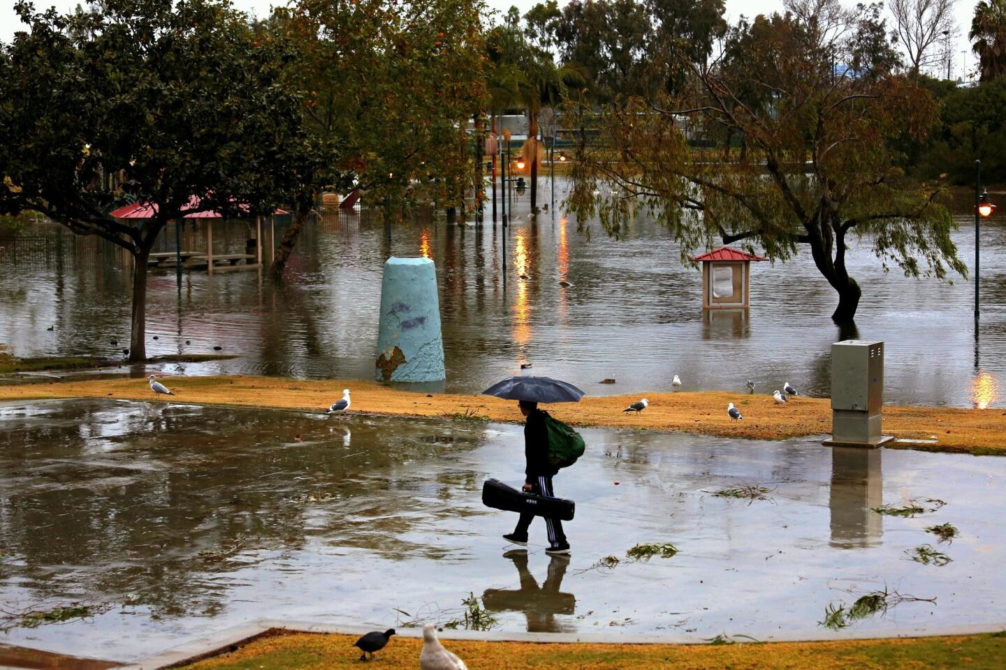
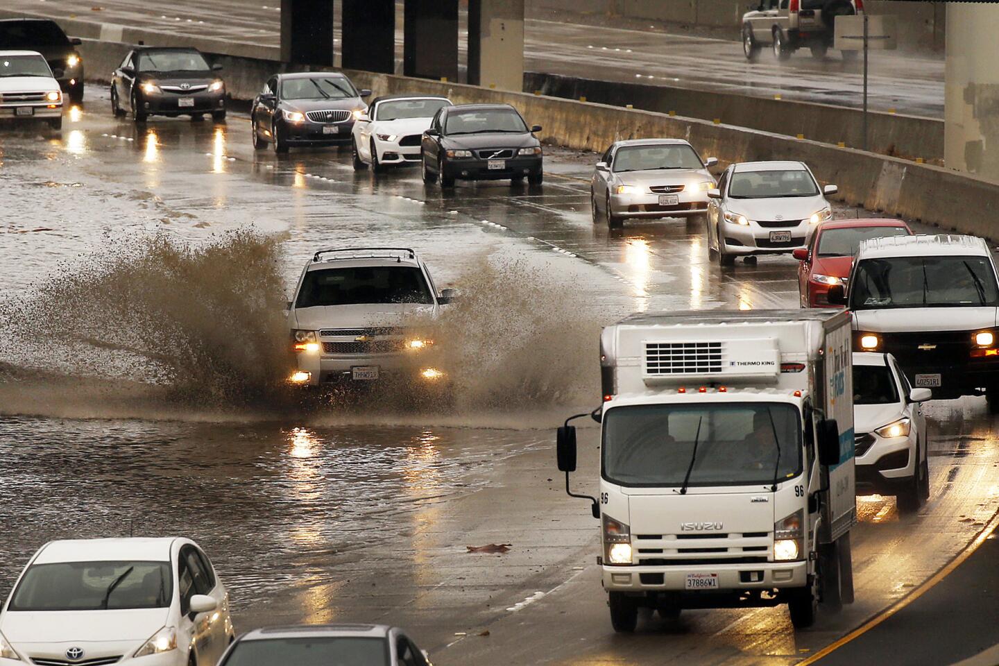
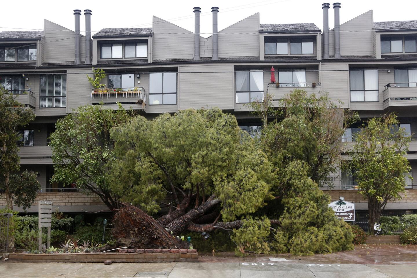
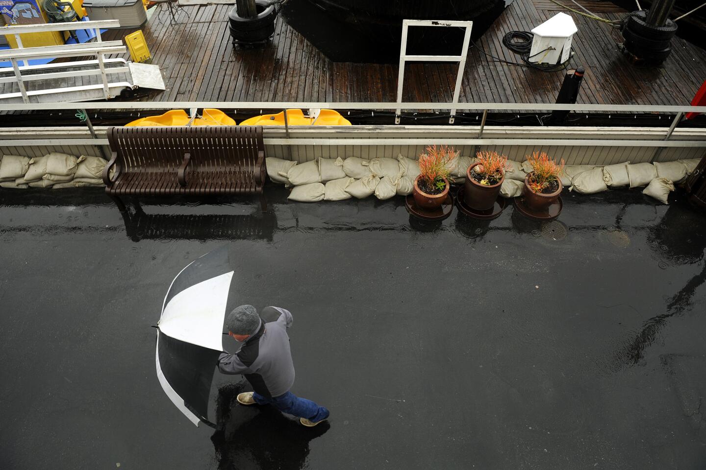
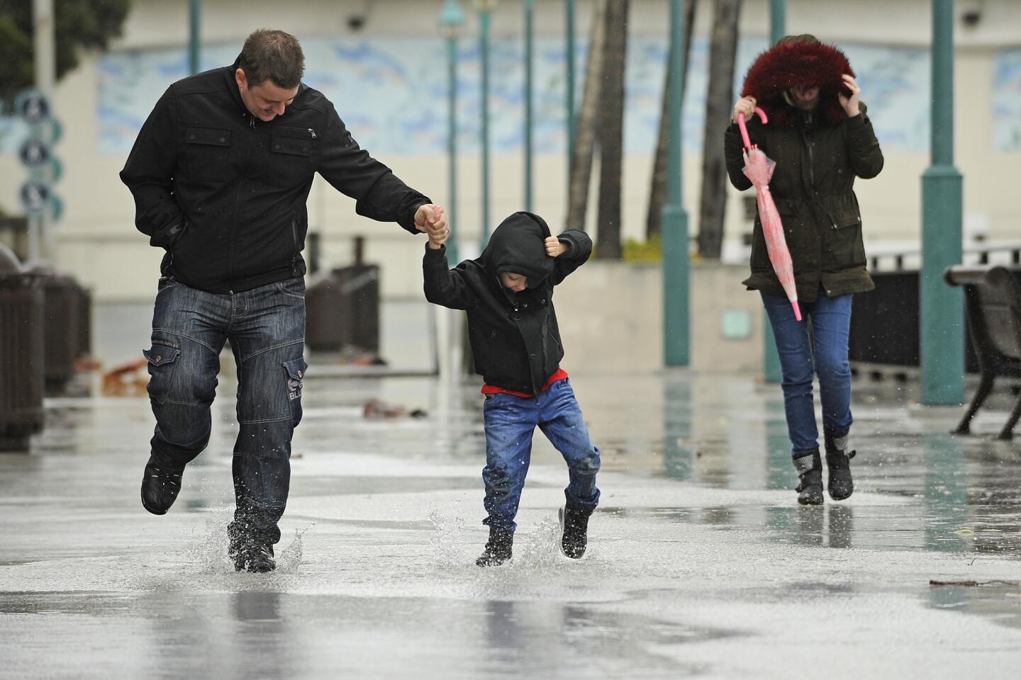
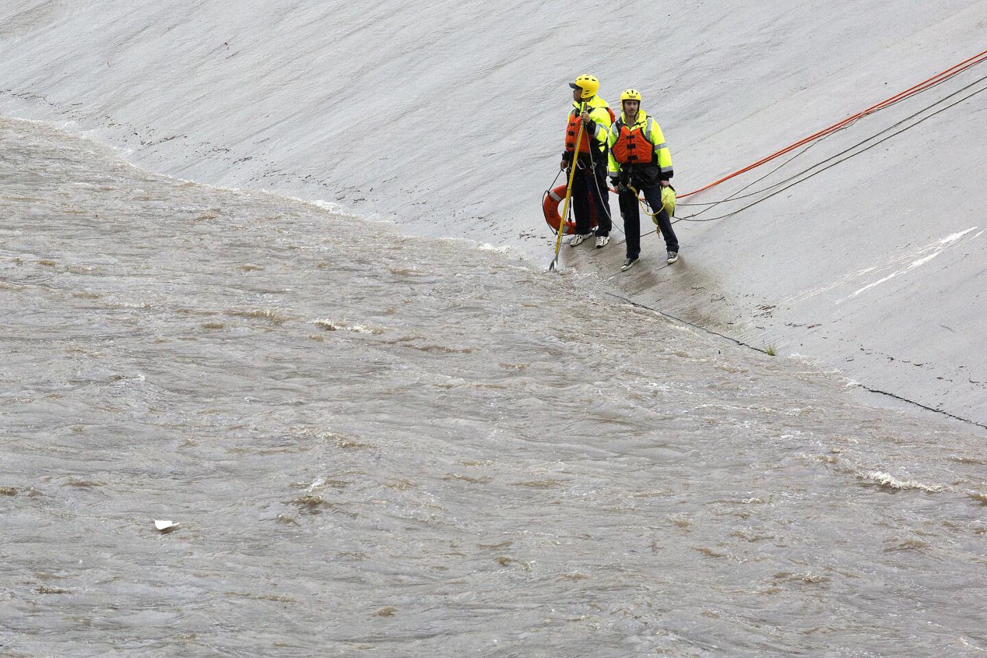
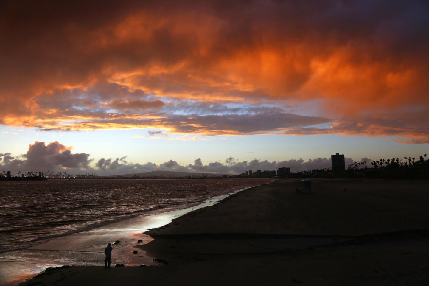
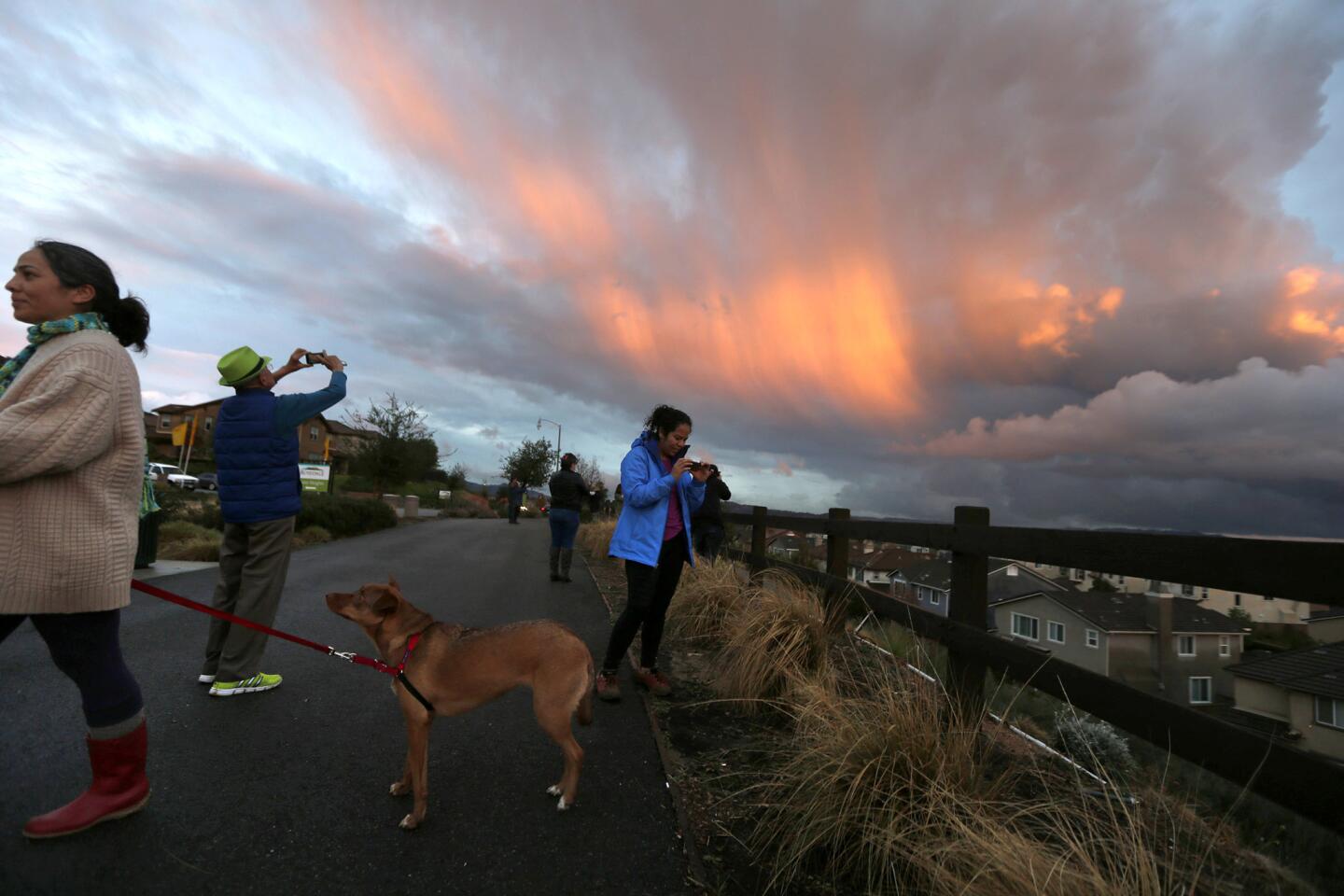
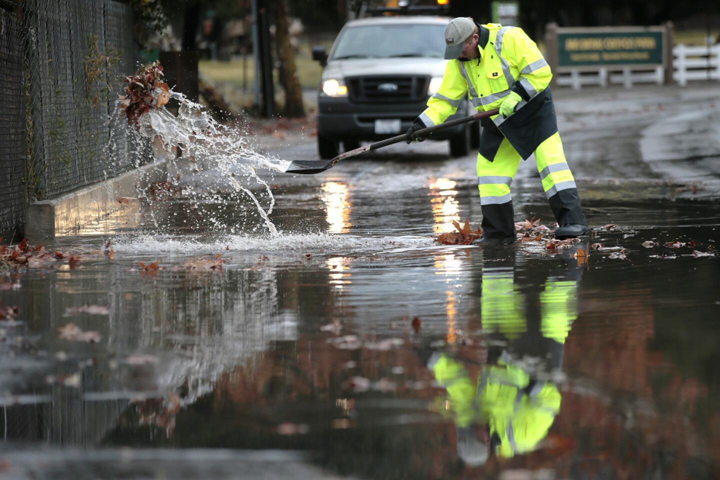
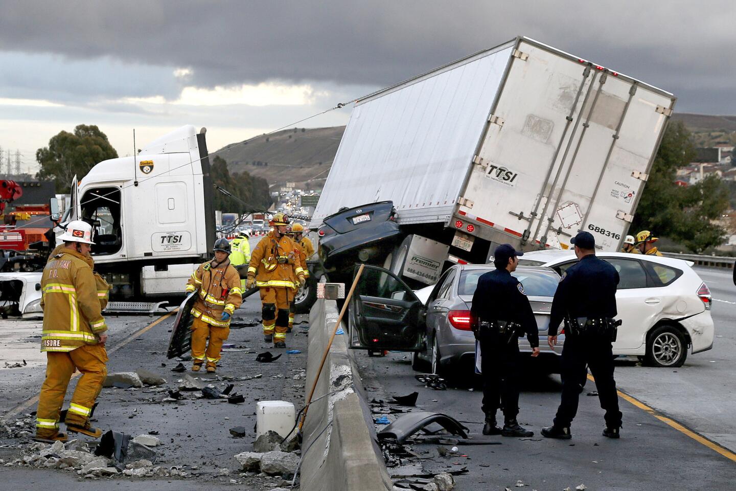
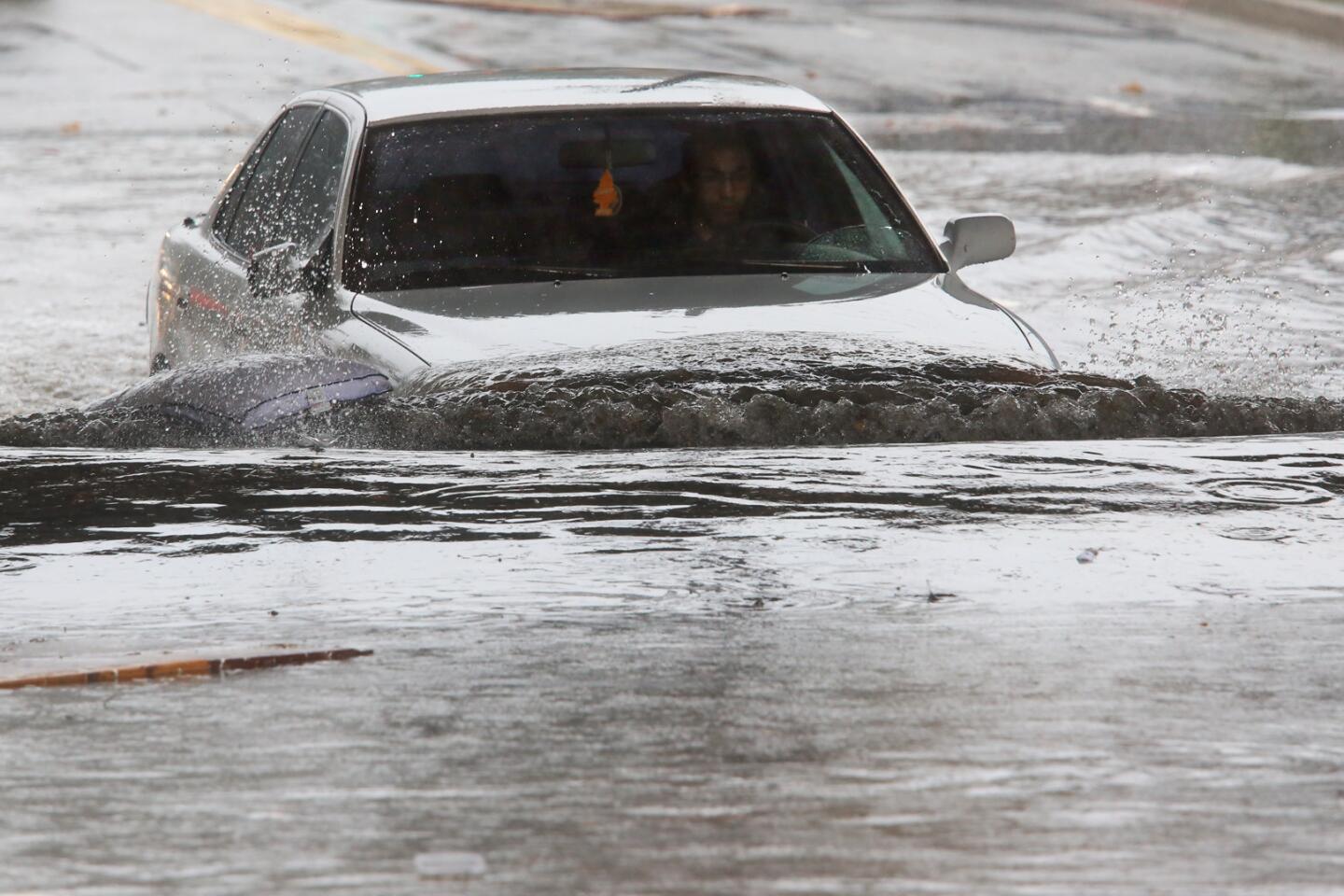
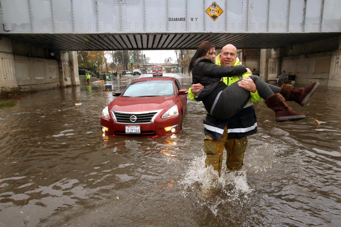
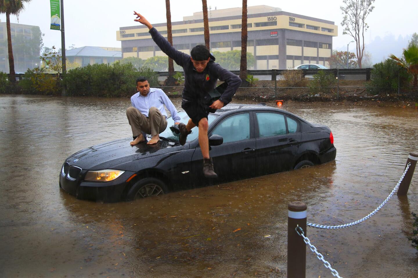
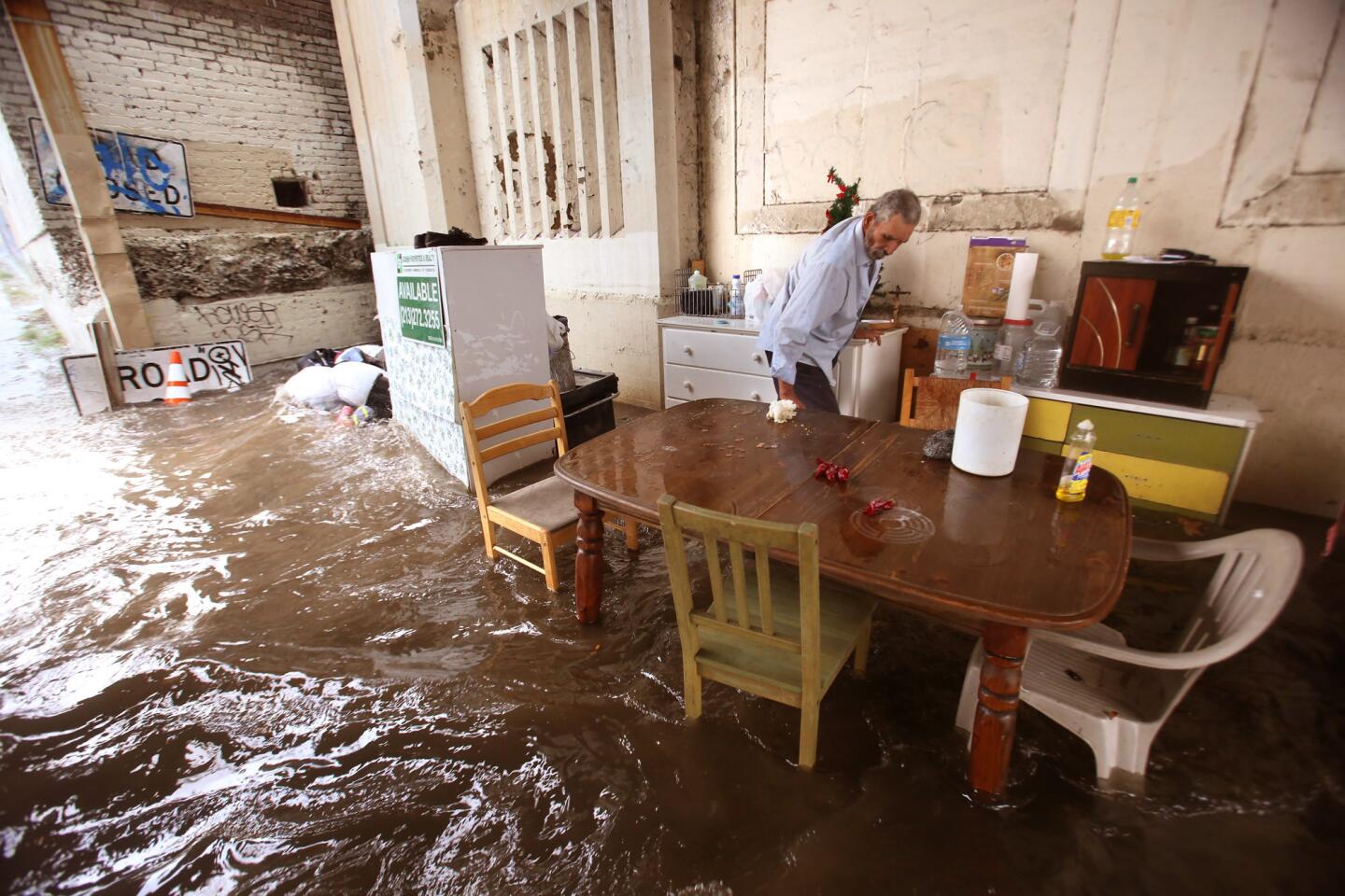
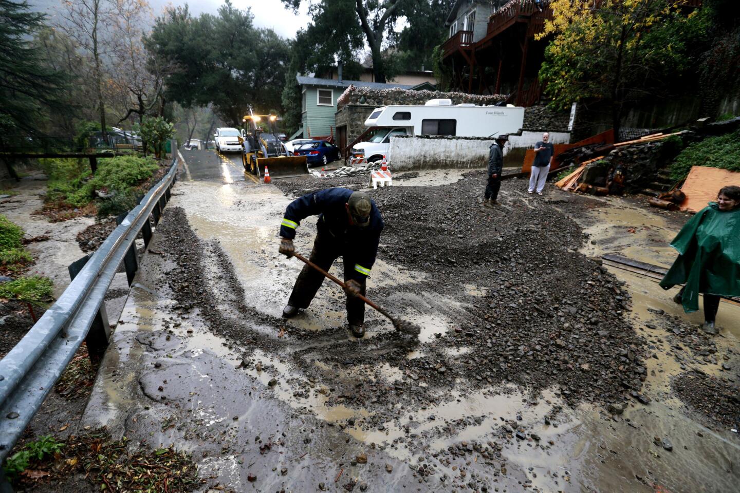
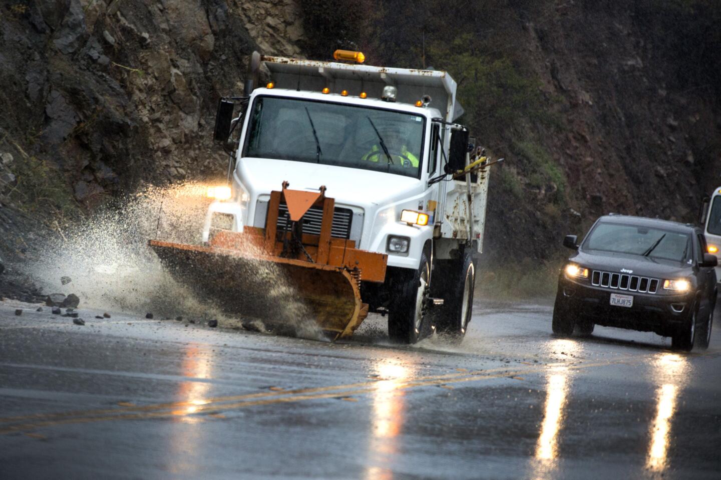
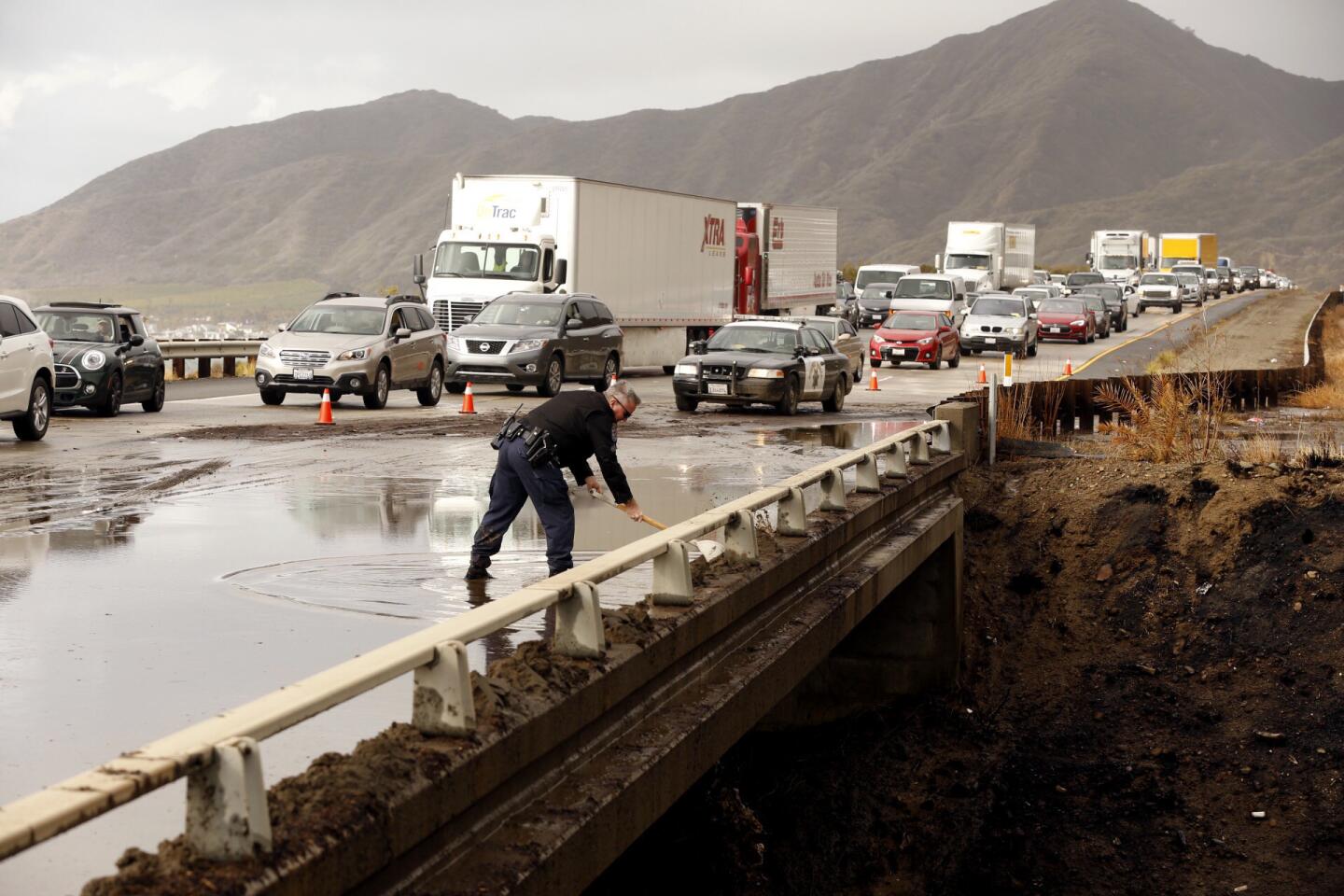
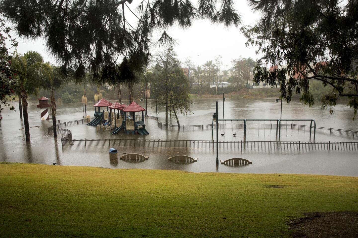
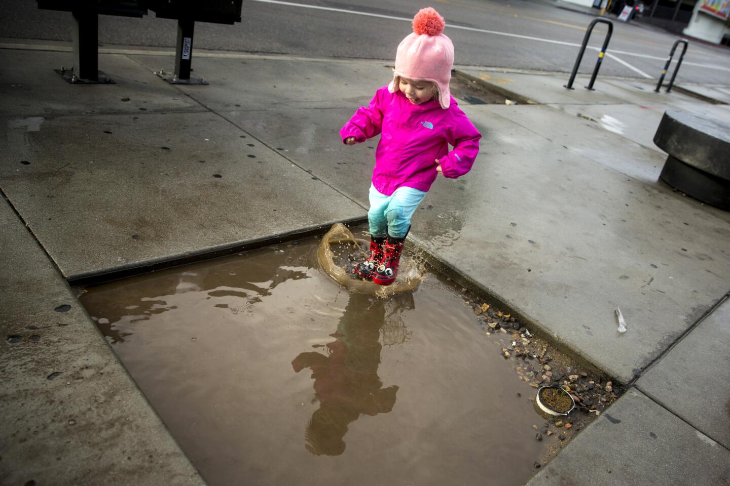
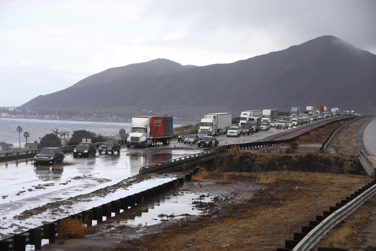
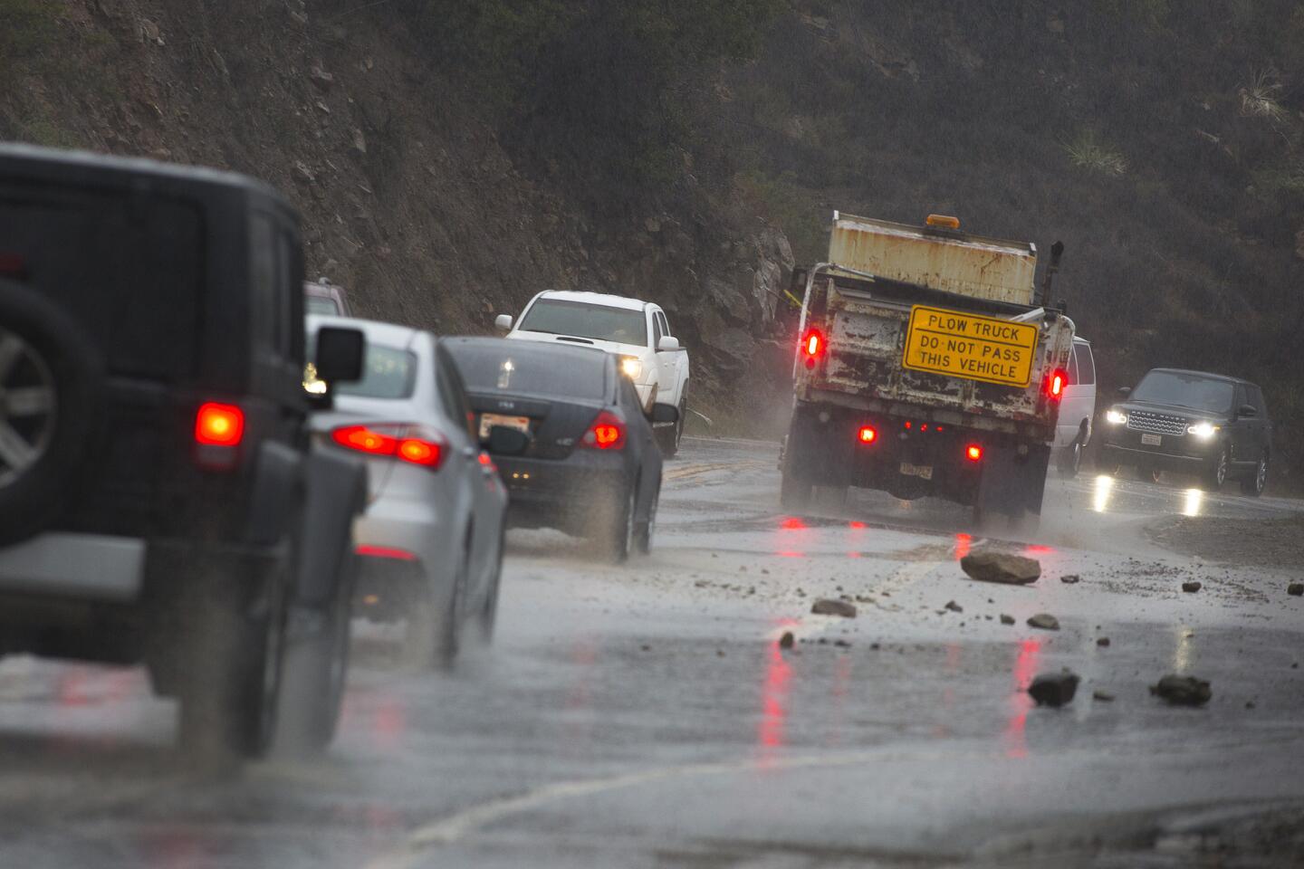
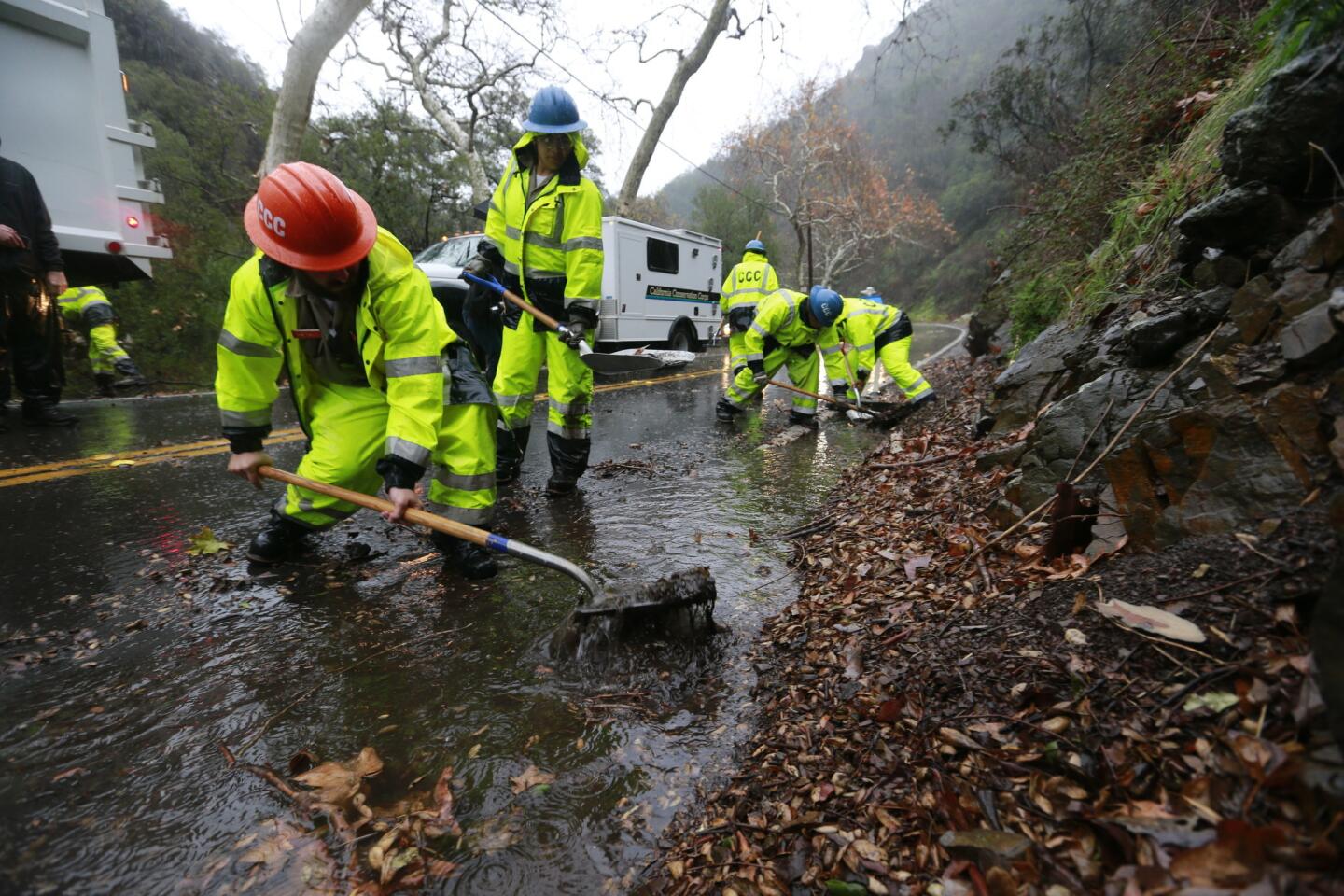
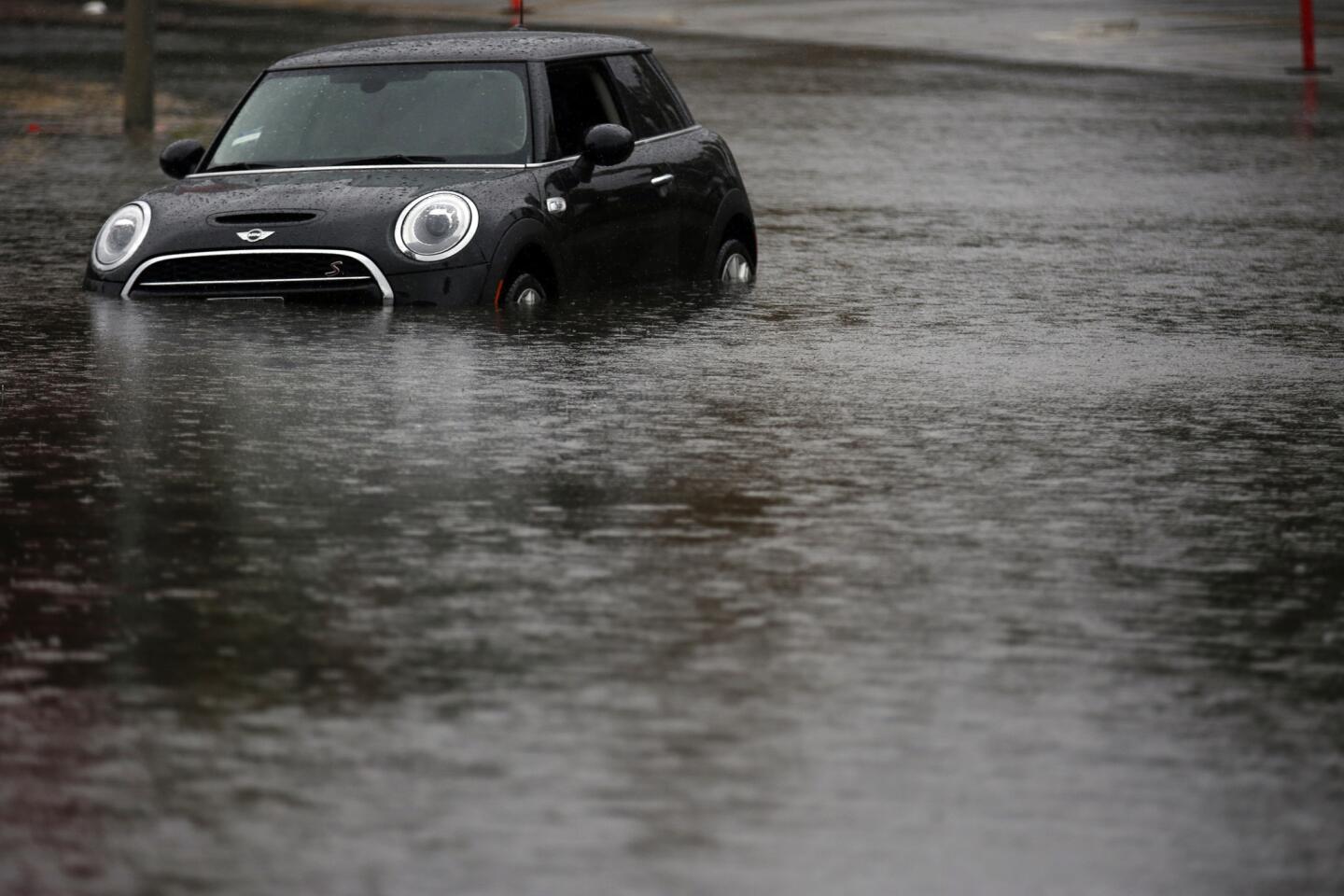
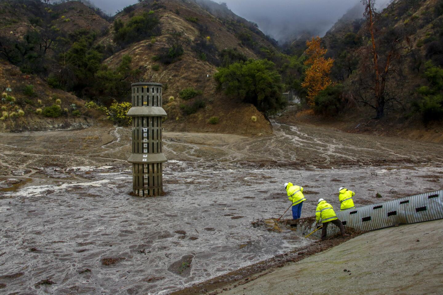
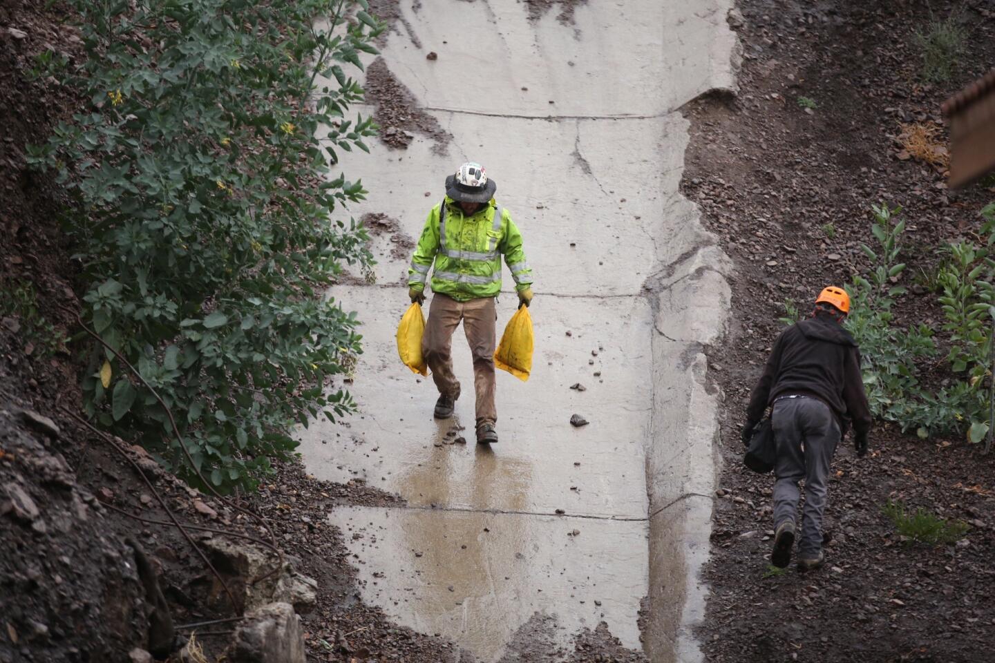
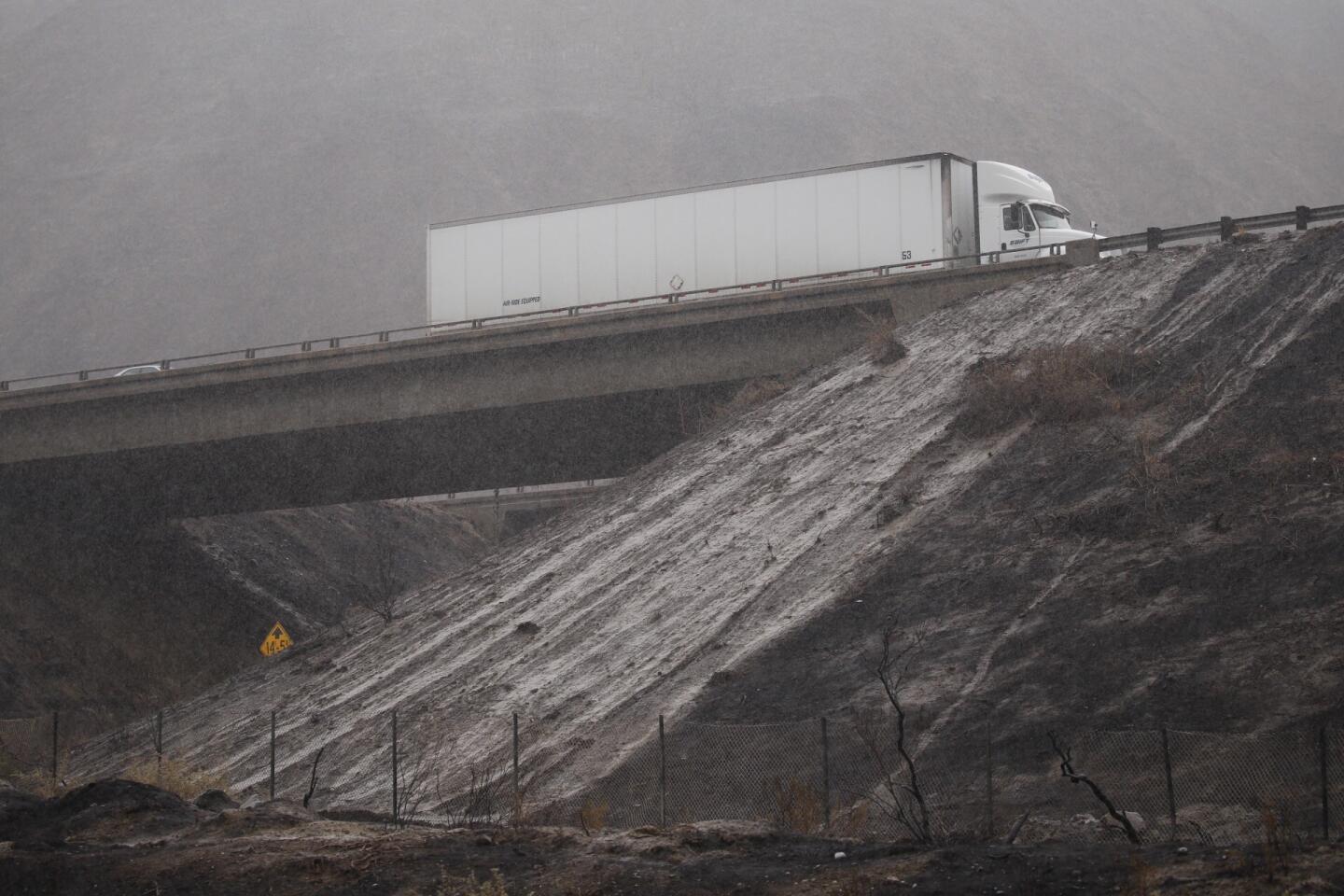
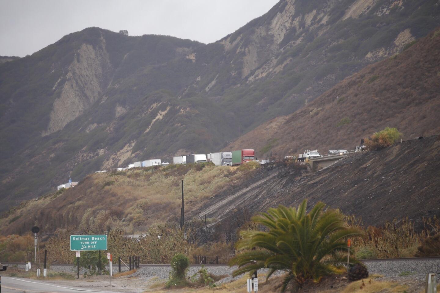
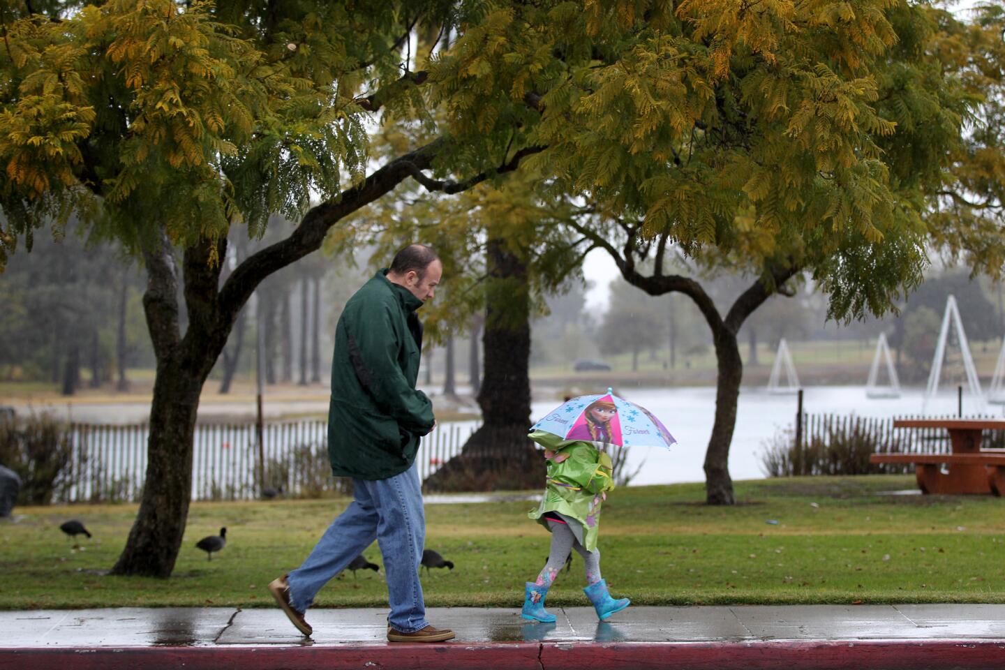
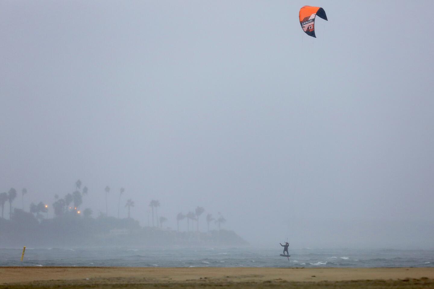
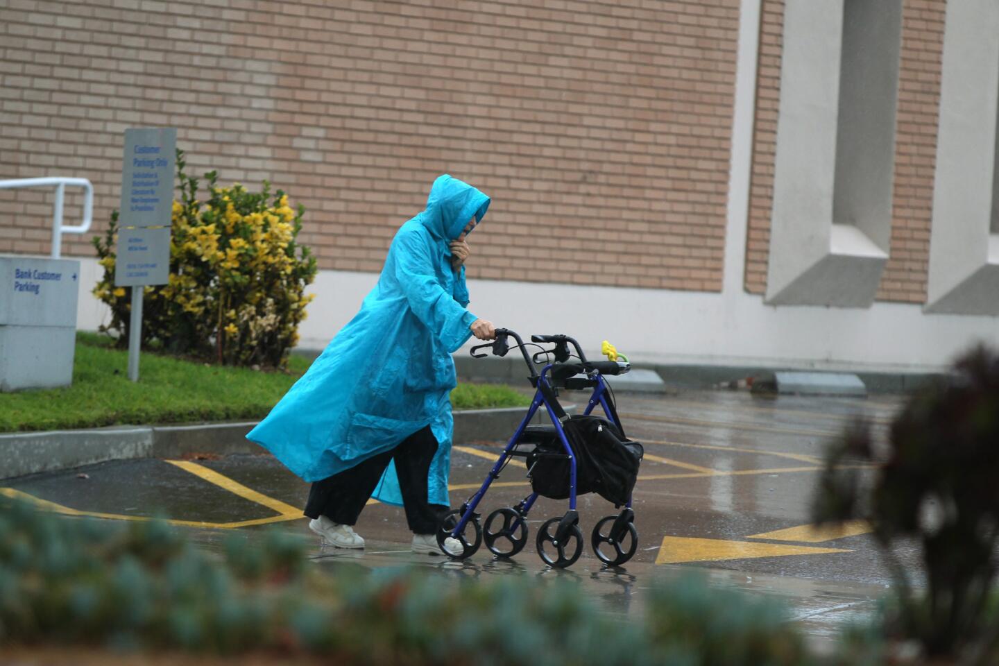
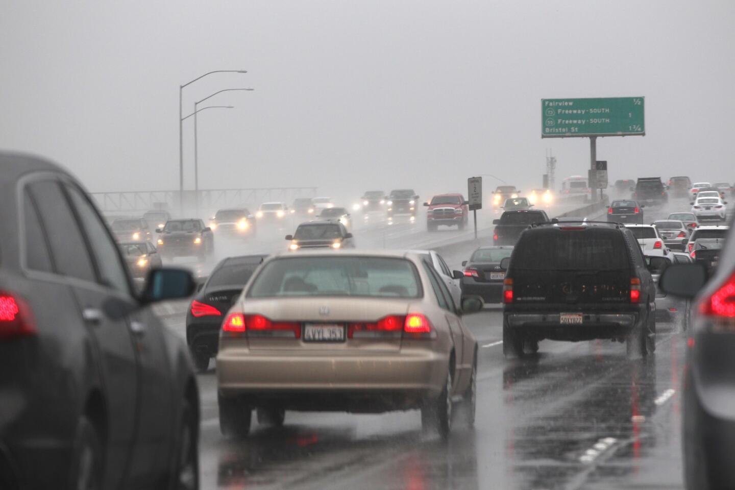
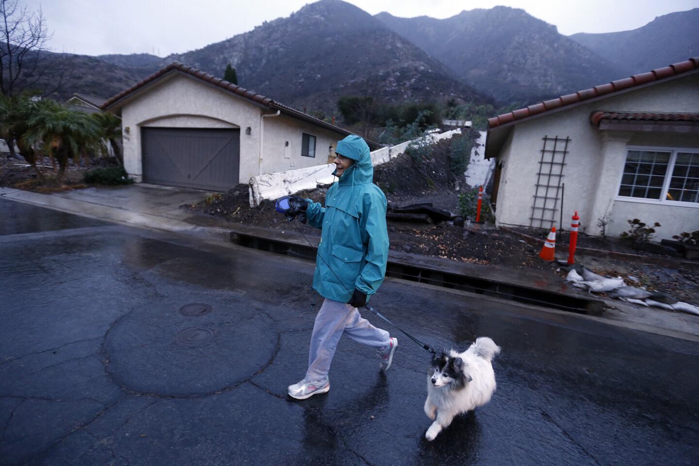
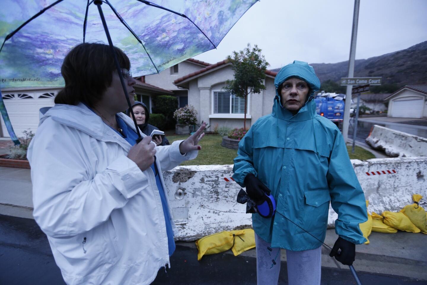
Along with the wind, the El Niño-related storms slamming the region this week have washed away fire-scarred hillsides and overwhelmed streets and washes. Wednesday’s storm is expected to drop up to 3 inches of rain from San Luis Obispo to Orange County and as much as 5 inches in some isolated areas.
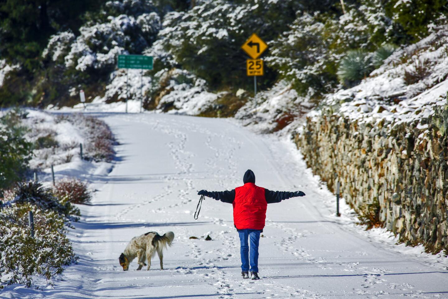
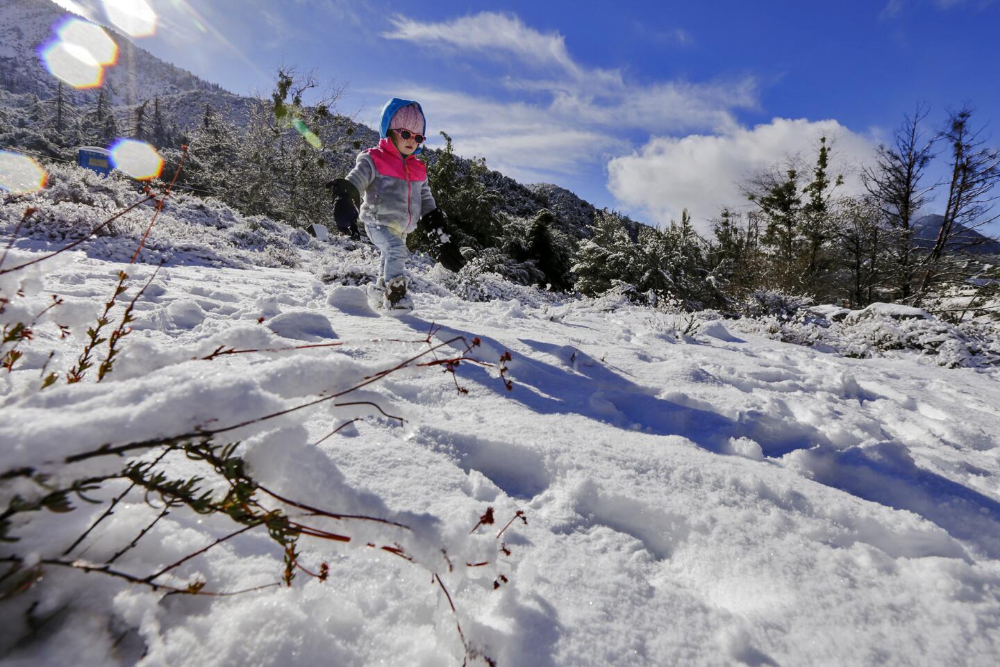
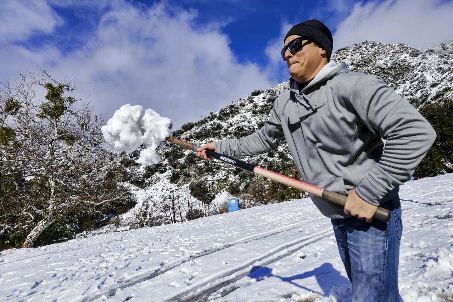
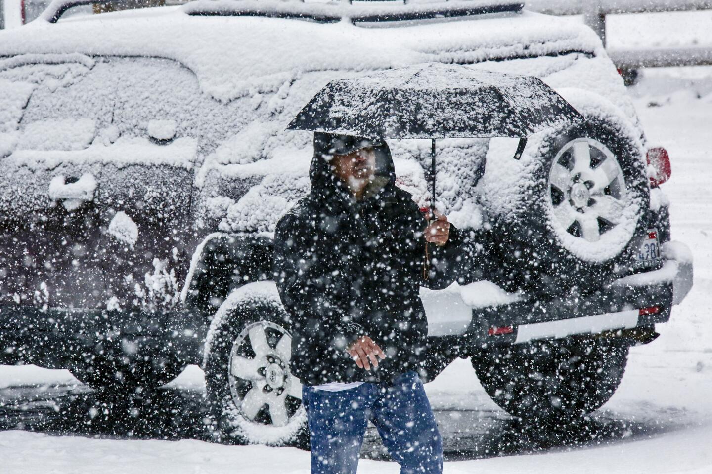
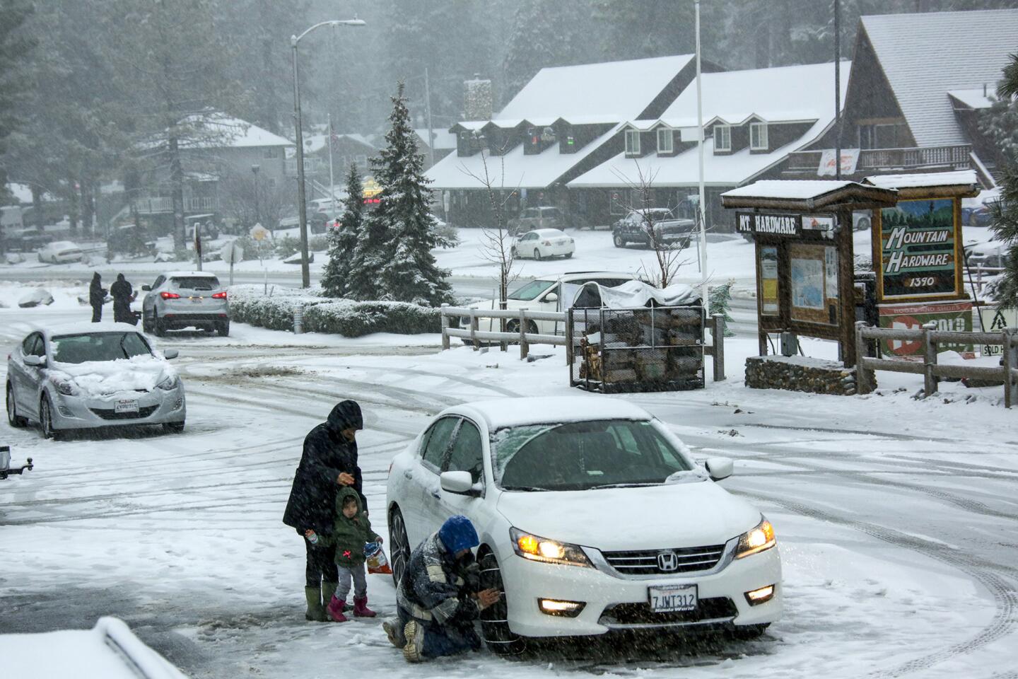
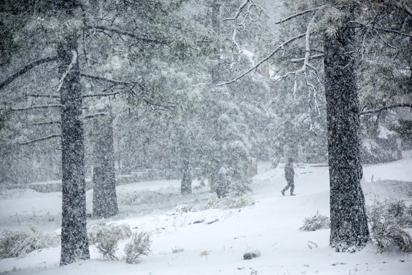
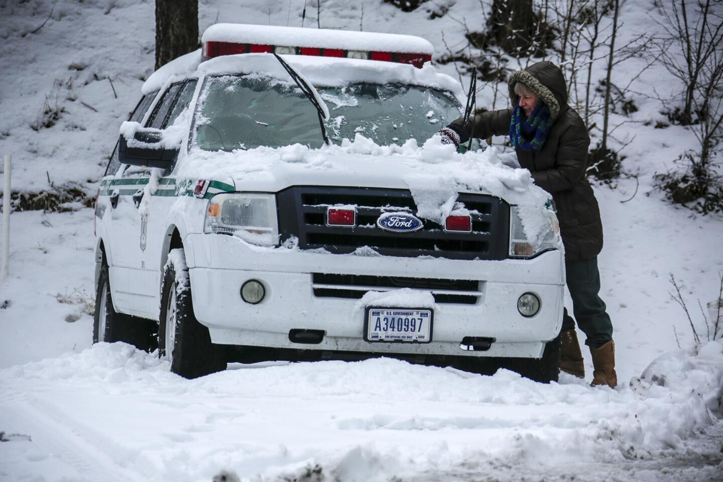
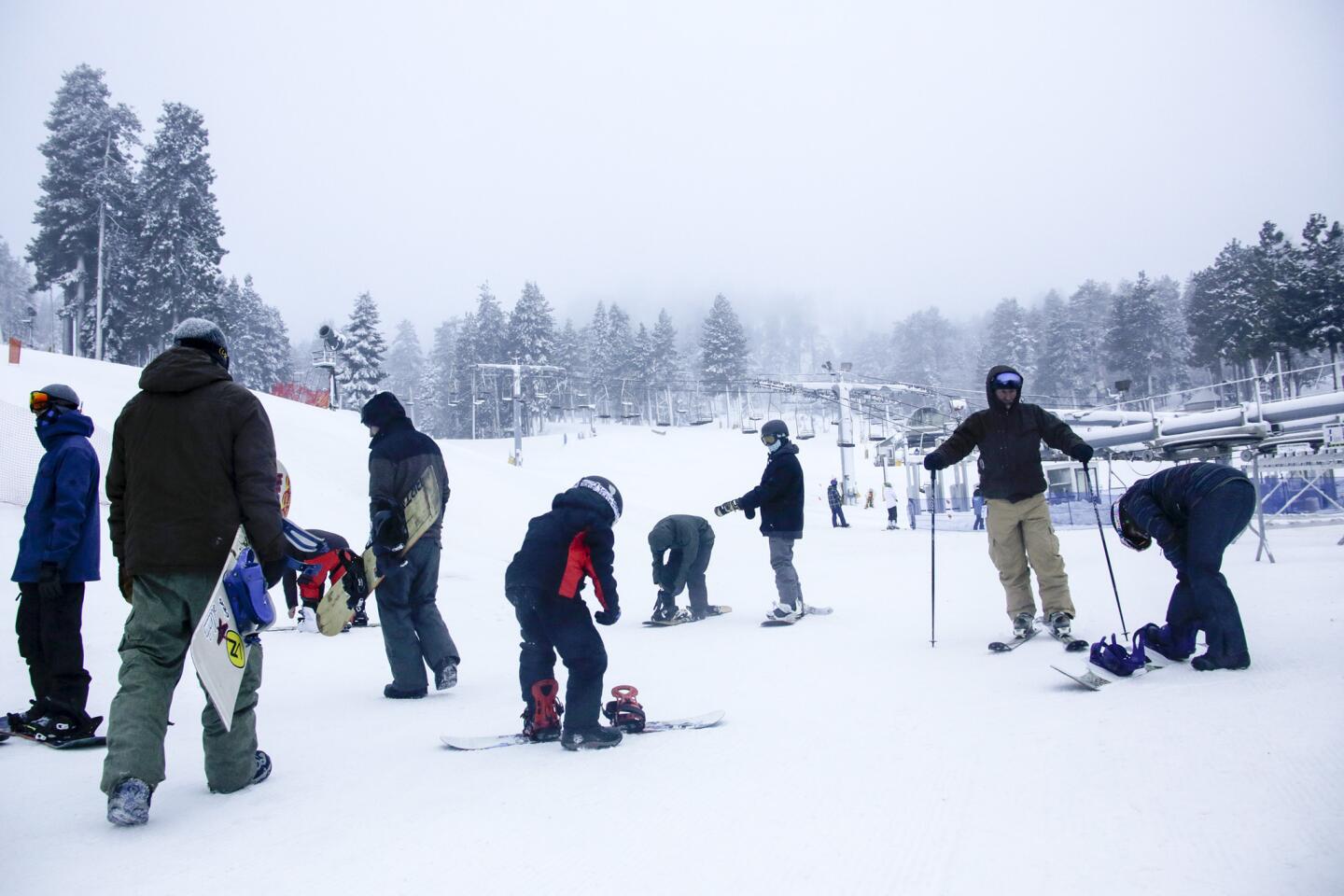
The storm was also predicted to drop 13½ inches of snow on Lake Arrowhead, forcing the Rim of the World Unified School District to close schools Wednesday before the storm hit, the district announced on its website.
Dime-sized hail and 45 mph winds could also wreak havoc as the storm moves south from San Luis Obispo, forecasters said. The storm is only one of a series that’s pounding Southern California this week.
Tuesday brought the most rain Los Angeles saw in any single day in 2015 except for one — Sept. 15, when the remnants of Hurricane Linda washed ashore, said Bill Patzert, climatologist with the NASA Jet Propulsion Laboratory in La Cañada Flintridge.
The storm also set records for the day in several places, including Los Angeles International Airport as well as to the north in Stockton and Redding.
FULL COVERAGE: El Niño in California >>
A break in the rain may come by Friday, but another system could hit Los Angeles on Saturday night and last until Sunday. It’s also possible that rain could return Monday.
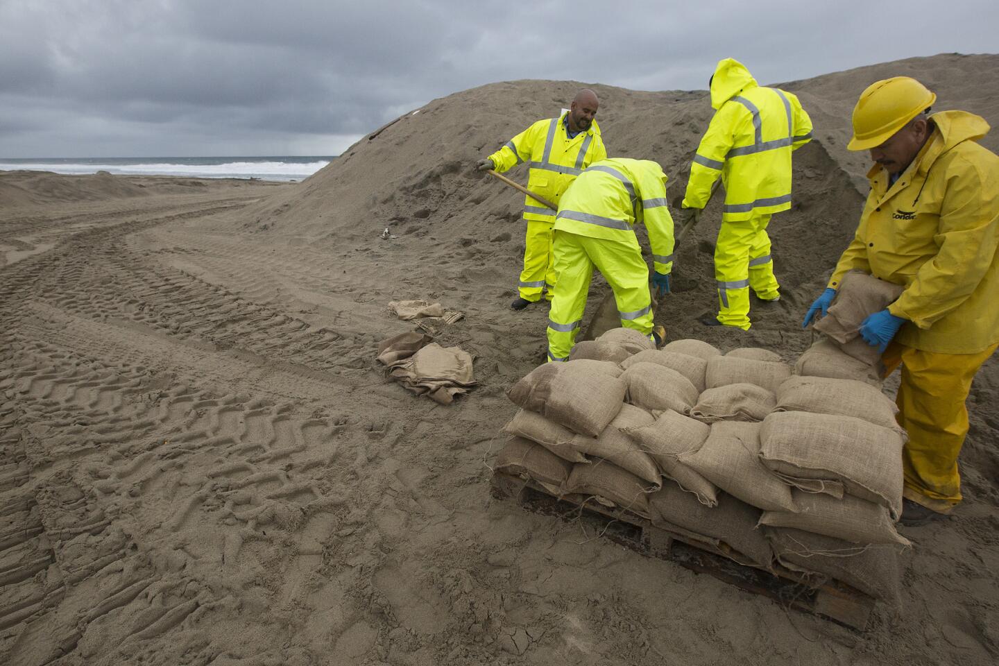
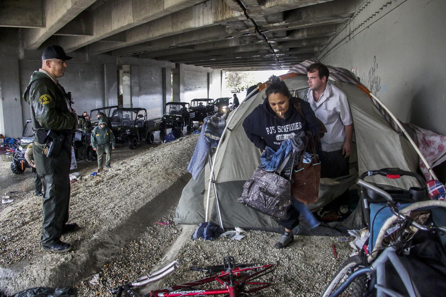
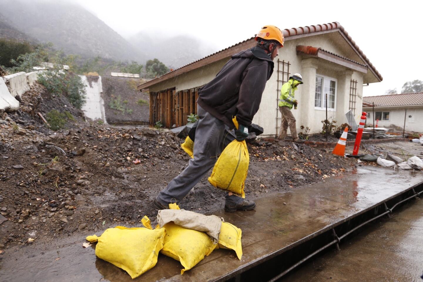
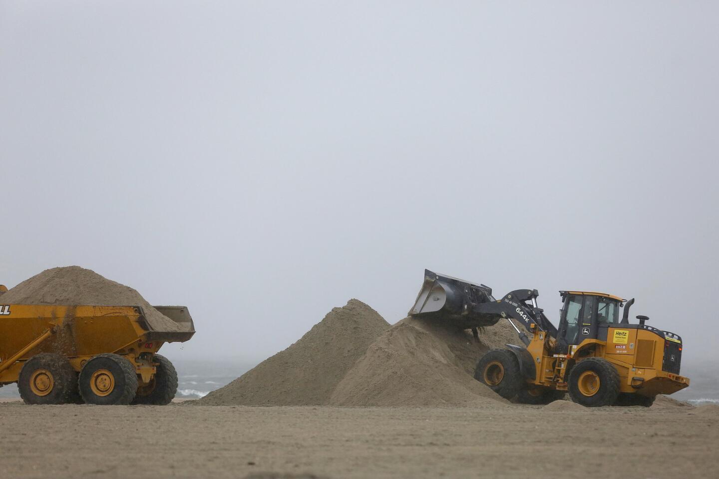
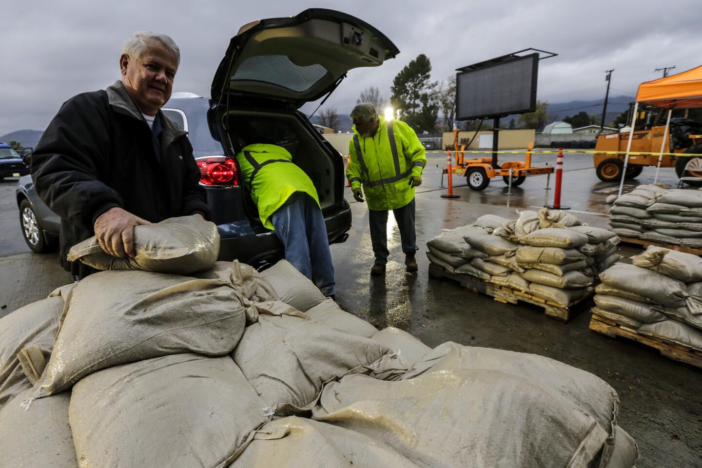
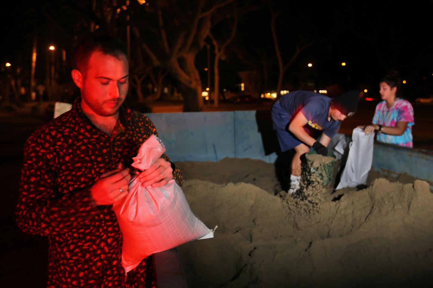
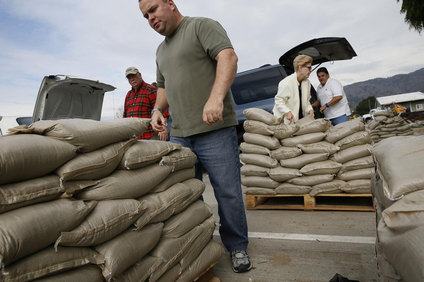
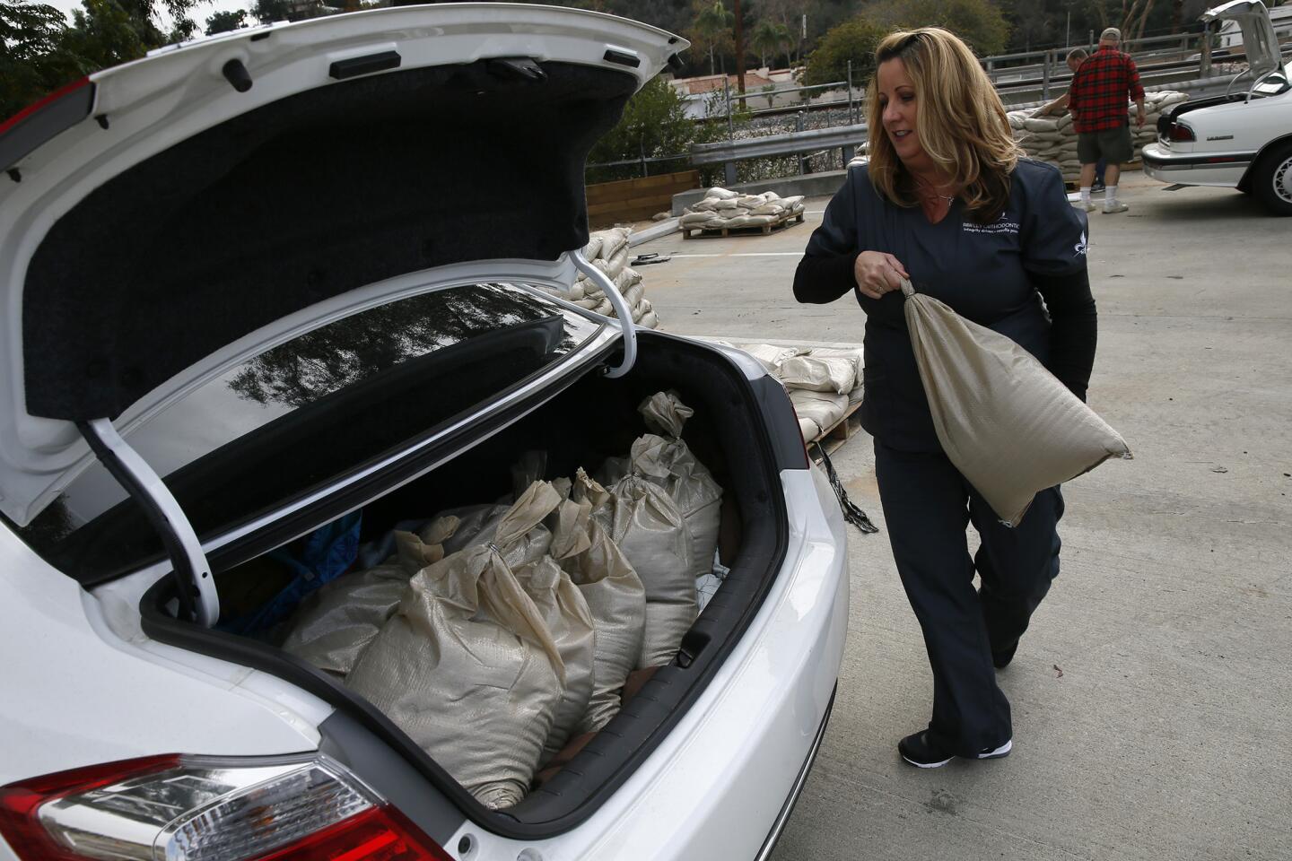
City officials have prepared for the rain, distributing sandbags and offering shelters. In Los Angeles, where officials have been preparing for months, Mayor Eric Garcetti said the city was faring well so far.
“We have been working for months on this,” Garcetti said Tuesday. “Today is the day that it is here.”
Staff writer Brittny Mejia contributed to this report.
For breaking California news, follow @JosephSerna.
ALSO
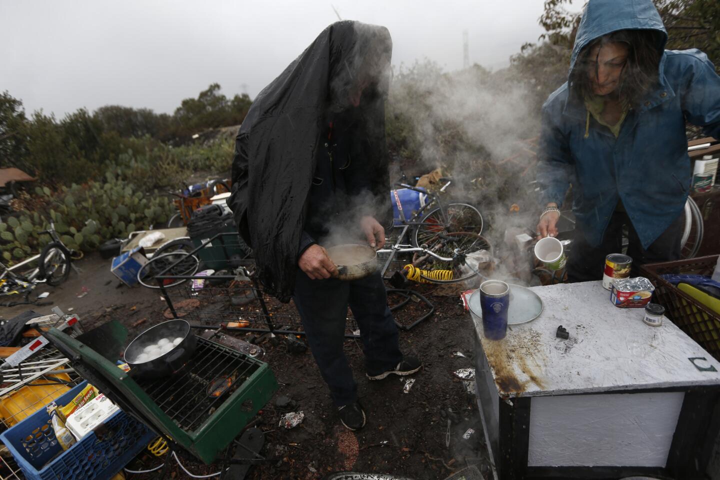
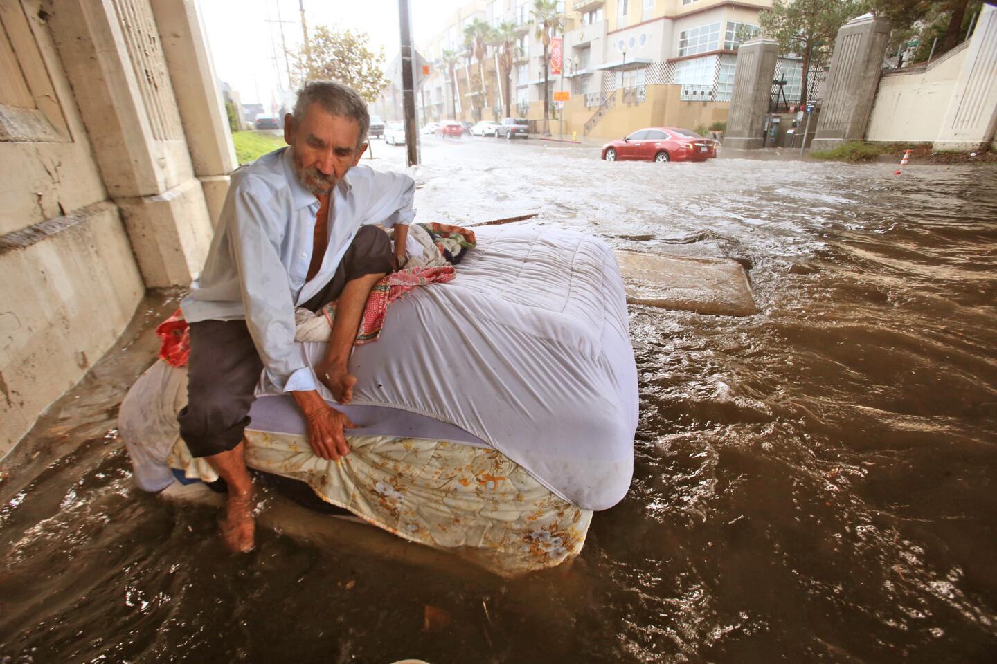
For a man’s makeshift home, destruction swiftly follows El Niño’s arrival
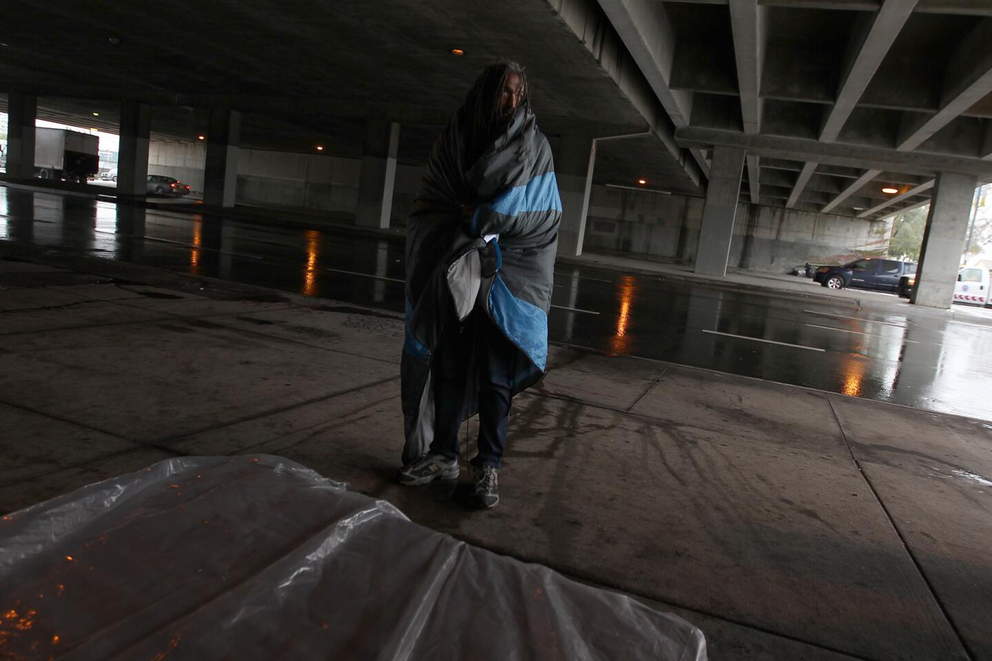
El Niño prompts an outreach effort to get L.A.’s homeless into shelters
‘A brash El Niño’: Storm season begins with record rainfall and mudslide fears
More to Read
Sign up for Essential California
The most important California stories and recommendations in your inbox every morning.
You may occasionally receive promotional content from the Los Angeles Times.
