L.A. Walks: Start in Alta Canyada, then climb, and keep climbing
- Share via
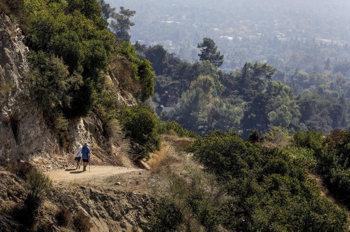
Here is a short, steep workout of a walk in La Cañada Flintridge that starts in a leafy canyon and rises into sunny heights. Go early in the day to take advantage of the limited shade, and choose a clear day so you can enjoy the panoramic views.
Since it’s an out-and-back walk, you can go as long or short as you like and turn around when you run out of gas. Feel free to make it much longer: This path can take you all the way to the top of Mt. Lukens, the highest point in the city of Los Angeles, if you stay with it.
Wear sunscreen, take water and watch out for rattlesnakes, which have been seen in the area.
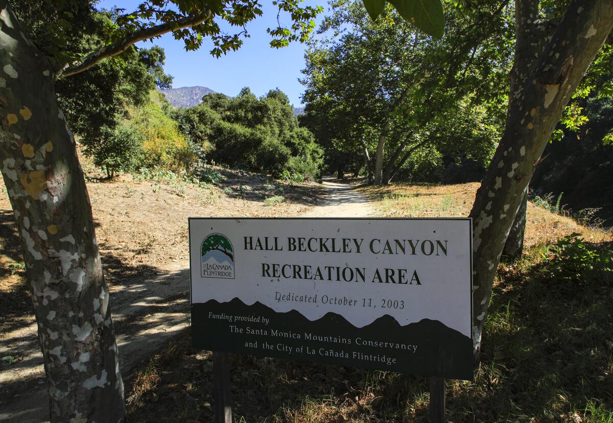
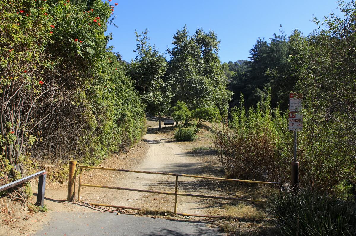
1. Begin this stroll in the Alta Canyada neighborhood, near the intersection of Jessen Drive and Solliden Lane. Park on the street and begin walking up the Earl Canyon Motorway. (There’s no street sign, but this is the narrow road that looks like a driveway running just to the left of the drainage canal under your feet.) Walk uphill past several houses, under the shade of oak and sycamore trees, and continue past a yellow gate onto a wide dirt path. You’ll know you’re going the right way when you see a sign that says Hall Beckley Canyon Recreation Area.
2. A short distance later, follow the main road as it doglegs hard to the left and begins to climb. And climb. And climb. Keep climbing! Though there is scant shade, most of it provided by oak trees beside the road, an early start will keep you out of the worst of the sun.
3. Soon you begin to get great views of Greater Los Angeles behind you. In the near distance are the communities of La Crescenta and Montrose. Behind those are the Verdugo Mountains, easily accessed by other L.A. Walks into Beaudry Motorway and La Tuna Canyon. Down to the left, you might find Descanso Gardens and another L.A. Walk through Cherry Canyon. Further still you will see the skyscrapers of downtown Los Angeles.
4. As the trail continues to climb and bend, you will begin to get eastern views of La Cañada Flintridge and Pasadena. To the west, your right, are Sunland-Tujunga and Lake View Terrace.
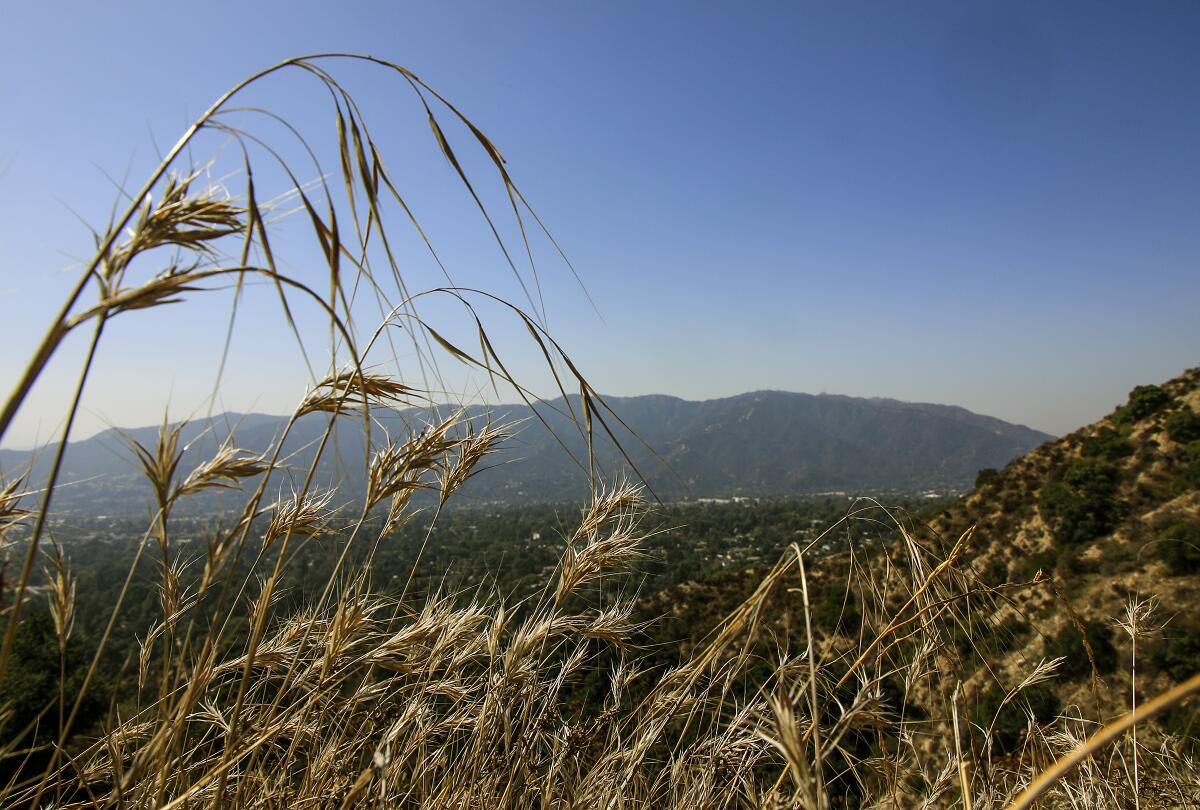
5. About 2.2 miles in, the wide dirt road bends left, with a narrower trail heading off to the right. Continue left a very short distance to any one of a number of lookout points — and the end of the road. Or, go right, and hike on! That trail will in time meet the Mt. Lukens Truck Trail and carry you to the 5,066-foot peak.
6. Retrace your steps back down the mountain, getting a good quad burn as you go, until you reach the Alta Canyada starting point.
STATS
Distance: 4.4 miles round trip
Difficulty: 3 on a scale of 1 to 5
Duration: 2 hours
Steps: 11,500
Details: Free street parking. Dogs on leashes and bicycles OK. Bus service to Foothill Boulevard on Glendale lines 3, 32.
Fleming is the author of “Secret Stairs: A Walking Guide to the Historic Staircases of Los Angeles” and “Secret Walks: A Walking Guide to the Hidden Trails of Los Angeles.” Each month, he leads a free walk at one of his favorite spots in Southern California. Find out more at his Facebook page, Secret Stairs. He is on Twitter @misterfleming
More to Read
Sign up for The Wild
We’ll help you find the best places to hike, bike and run, as well as the perfect silent spots for meditation and yoga.
You may occasionally receive promotional content from the Los Angeles Times.


