Best Los Angeles hikes for a date - Los Angeles Times
Advertisement
Filters

Neighborhood

Filter

Parks & Trails

Difficulty

Length

Sort by

Showing  Places
Filters
Map
List
An illustration of a hand swiping through different hikes like someone would do on a dating app.
(Alberto Miranda for The Times)

8 date-worthy L.A. hikes that’ll impress your next Tinder match

Share via

You’ve swiped right, met up for coffee and you’re still feeling this stranger you found on a dating app. Congrats!

But what to do on that next date? If you’d prefer something more than dinner and drinks, and you both love the outdoors, cue a classic L.A. hike.

For a great date hike, you need a trail that offers gorgeous views. As a bonus, throw in a picnic area for a little rest and snack time. Below are eight great hike options for taking a date. Most are easy, although there are a handful of moderate trails. If you’d rather not huff and puff or get sweaty, avoid the Mt. Hollywood and Wisdom Tree hikes.

An insider’s travel guide that takes you beyond the mouse ears, selfie spots and Golden Gate Bridge.
Showing  Places
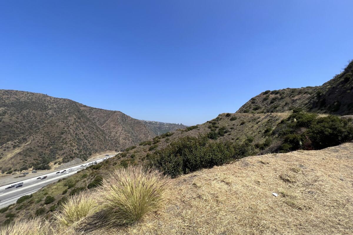
A view from the trailhead at the Getty View Trail with the 405 Freeway traffic bustling during the morning commute.
(Jacqueline Pinedo / Los Angeles Times)

Getty View Trail

Bel-Air Mountain Trail
2.6-mile out-and-back
Easy
If you’re looking for a challenging hike with rewarding views, the Getty View Trail has you covered. Make sure you bring some water for you and your date — you’ll need it. You’ll start the hike with a sharp incline. Sounds of the 405 Freeway will drown out any awkward silences at the start of your date.

The trailhead is in a residential area, which makes parking tricky. If you’re there during the week — perhaps you plan an after-work meetup to catch the sunset on the way down — parking shouldn’t be an issue.
Read All Read Less
Route Details
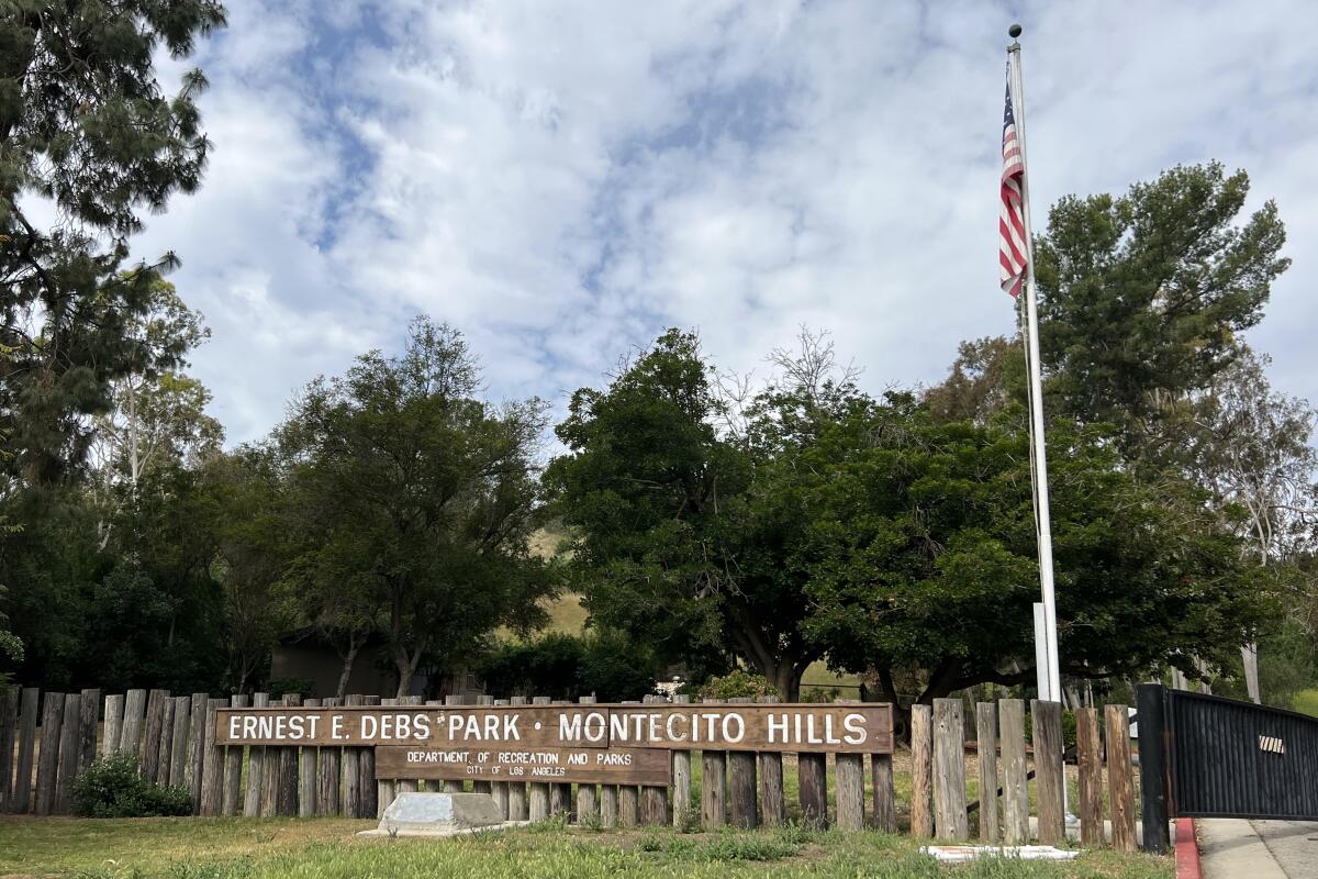
A wooden sign reads "Ernest E. Debs Park - Montecito Hills."
(Jacqueline Pinedo / Los Angeles Times)

Ernest E. Debs Regional Park Loop

Montecito Heights Urban Trail
2.7-mile loop
Easy
Impress your date with a hike on the Ernest E. Debs Regional Park Loop, which includes a spot to picnic at a lake. The park is tucked away in Montecito Heights and very easy to overlook if you’re not familiar with the area. Because the trail is located at Debs Park, it has a designated parking lot, which can be a meeting point for you and your date. Hiking to the lake is quick but there is a bit of an incline.

Plan to have a picnic at the lake. Before you head over, grab heavy-duty sandwiches at Jeff’s Table in Highland Park, make something at home to share or play it basic with snacks from the South Pasadena Trader Joe’s. (Just ask your date if they have dietary restrictions beforehand.) If a picnic seems like too much effort, you can just sit and watch the ducks paddling along. On the weekends, the park gets a lot of visitors, which could be good if you enjoy people watching but bad if you’re looking for something more secluded.
Read All Read Less
Route Details
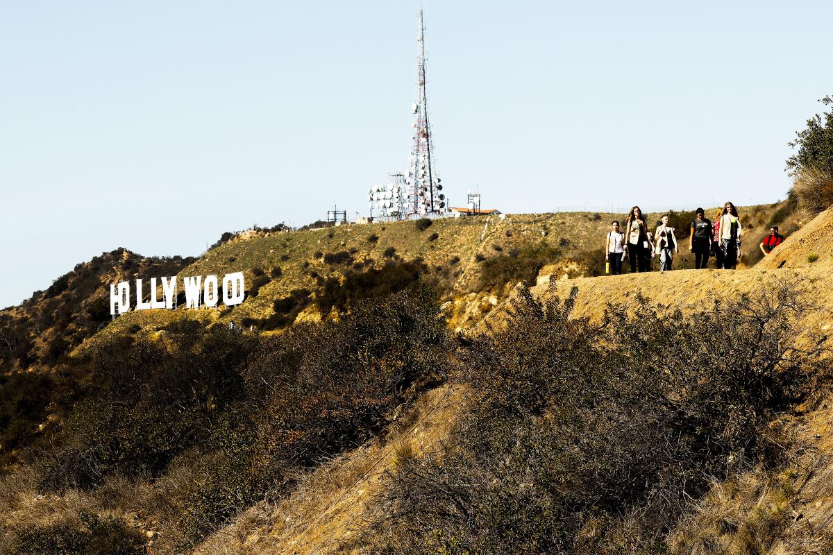
People hiking to the right of the Hollywood sign.
(Al Seib / Los Angeles Times)

Mt. Hollywood Hike

Los Feliz Mountain Trail
5.3-mile loop
Moderate
Challenge your date with a hike up the Mt. Hollywood Trail. The hike is popular for its 360-degree views of the city, but the vista comes at a cost. You and your date have to navigate steep inclines and work together to avoid getting lost on the trail. Teamwork is definitely needed to get through this hike, so reserve this date for when things are starting to get more serious. Despite the confusing trailhead, the hike is worth the challenge.
Read All Read Less
Route Details
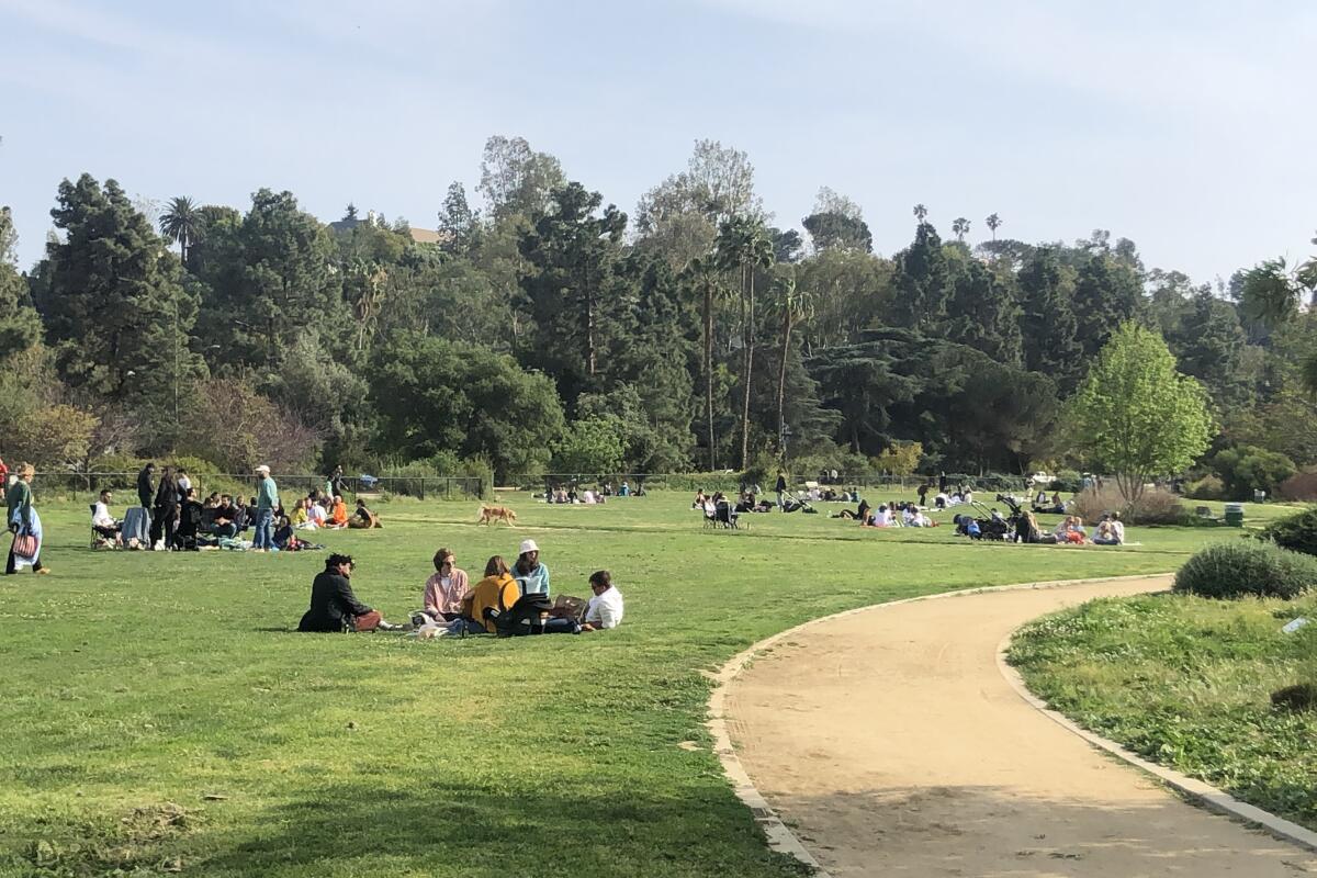
People sitting on the grass near a curved path.
(Lisa Boone / Los Angeles Times )

Silver Lake Reservoir

Silver Lake Urban Trail
2.2-mile loop
Easy
OK, the 2.2-mile dirt and paved loop around the Silver Lake Reservoir isn’t a traditional hike, but let’s call it an “urban hike.†There are some small inclines!

This casual walk will make you and your date feel like you’ve been transported outside of L.A. Meet up at the dog park at the Duane Street and Silver Lake Boulevard cross-section. During sunset hour, the sun glimmers on the water, setting the mood for a romantic walk. Parking may be tricky because the reservoir is in a residential area, so add some buffer time to your arrival to look for parking.

You can lay out a blanket at the Silver Lake Meadow along Silver Lake Boulevard between Earl Street and Armstrong Avenue. Alternatively, pass the dog parks on your way back and continue on Silver Lake Boulevard for a coffee at Lamill or a drink at L&E Oyster Bar (happy hour is 5 to 7 p.m., Monday through Friday).
Read All Read Less
Route Details
Advertisement
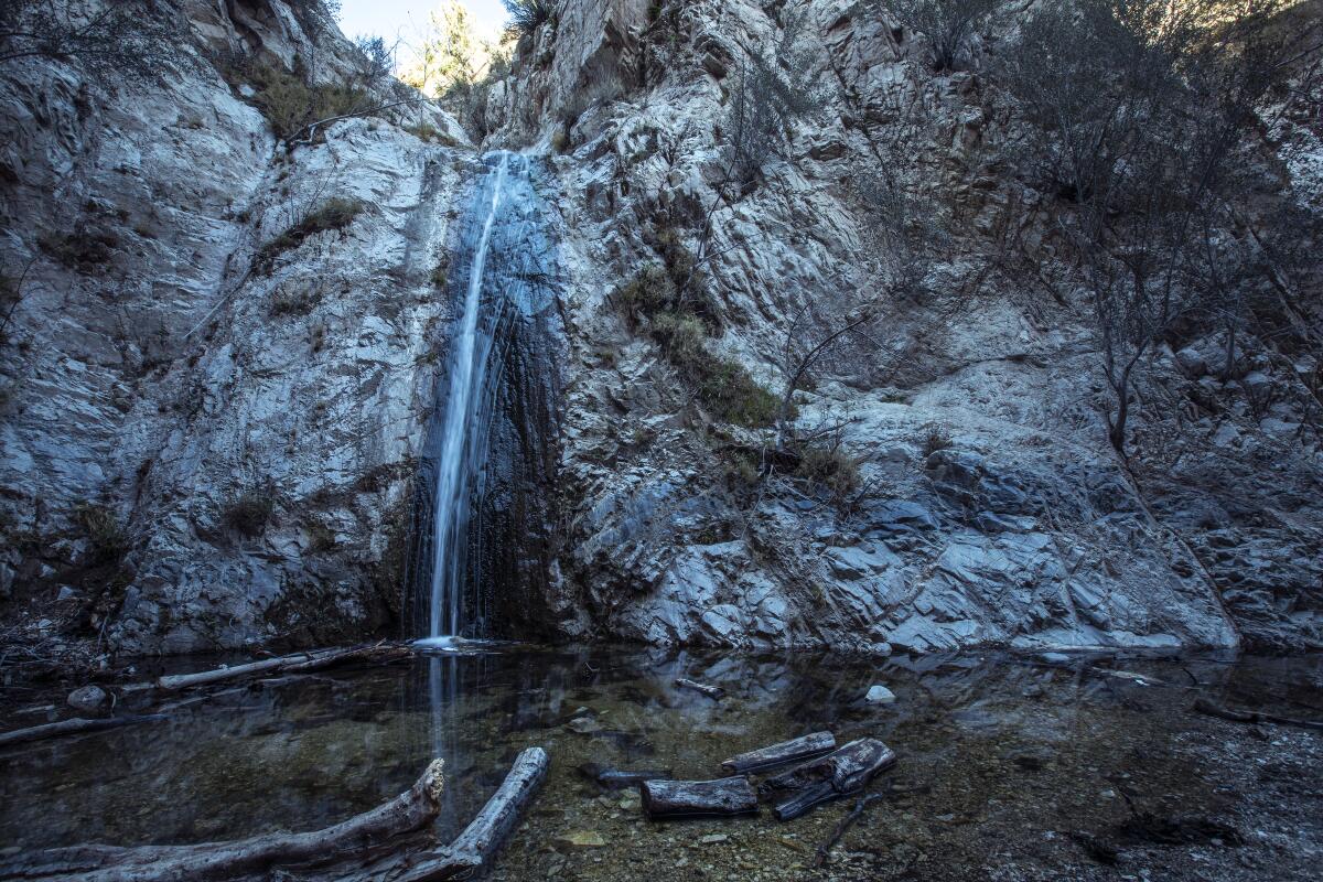
A thin waterfall pours into a small pool.
(Brian van der Brug / Los Angeles Times)

Switzer Falls

Tujunga Mountain Trail
4.5-mile out-and-back
Moderate
Head to Switzer Falls for a romantic hike and picnic. The trek to the waterfall requires good trail shoes. Also, come prepared to keep a long conversation going on this 4.5-mile hike. In the end, you’ll be rewarded with a beautiful waterfall that splashes into a pond.

The scenery is unique, since waterfalls aren’t common in Los Angeles. It almost feels like you’re hiking in Northern California on this trail, with its lush greenery, babbling brook and waterfall.

During the summer, you’ll likely spot kids and four-legged furry friends taking a dip in the water. This hike is popular, so come early if you want to enjoy the trail without the crowds.
Read All Read Less
Route Details
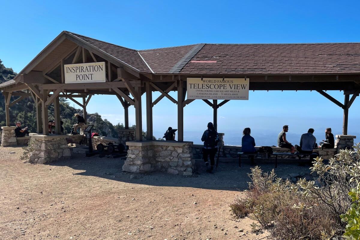
The view from Inspiration Point Trail, with the ocean in the distance
(Mary Forgione / Los Angeles Times)

Inspiration Point Trail

Pacific Palisades Mountain Trail
2.2-mile loop
Easy
Ocean views, nature sounds and sunny skies are what you’ll get at Inspiration Point Trail in Will Rogers State Historic Park. Many people hike this trail to get to the 10-mile peak at Inspiration Point, but there’s a shorter two-mile loop more suited for a date. Peacefully walk the trail and admire the California wildflowers. If you need a break, sit down on one of the many benches throughout the walk and marvel at the city views. The state park has a parking lot, but it costs $12.
Read All Read Less
Route Details
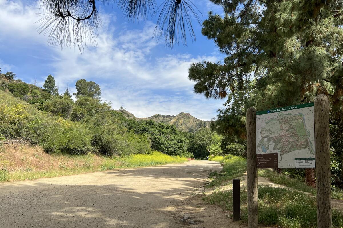
A dirt trail passes a wooden sign and grassy, shrubby vegetation.
(Jacqueline Pinedo / Los Angeles Times)

Ferndell to the West Observatory Loop Trail to Griffith Park
Griffith Park Mountain Trail
2.6-mile loop
Easy
Visit the Griffith Observatory, but instead of driving up to the observatory, hike there. The Ferndell Loop Trail can be challenging but it’s a worthwhile 2.6-mile hike. The trail is exposed the whole trek up, so be sure to bring a hat and water for your hike. Once you make it to the observatory, you can go inside if it’s a Friday, Saturday or Sunday (otherwise indoor access is closed). But just checking out the breathtaking views outside the observatory may be enough. When you get back down, grab a coffee or snack at the Trails, a low-key food stand.
Read All Read Less
Route Details
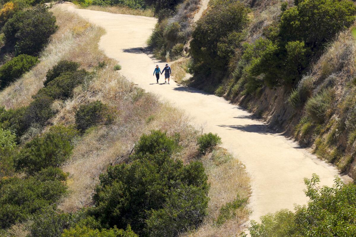
A hiking couple holding hands walks along a winding trail.
(Dania Maxwell / Los Angeles Times)

Glendale Peak Trail

Griffith Park Mountain Trail
3.6-mile loop
Easy
Drive to Griffith Park for a skyline view of the city at the Glendale Peak Trail. You’ll drive up Vermont Avenue and into the park, where you’ll make a quick right on Commonwealth Canyon Road. The access point to the trailhead is located in between two courts at the Vermont Canyon Tennis Courts. The passageway leading to the trailhead can’t be missed from the parking lot. Once you’re at the start of the trail, there will be a sign with multiple hiking routes. Take the one-mile Vista Viewpoint trail. You’ll be rewarded with a stunning city view.

If you want to keep the date going after the hike, drive down Vermont to Fred 62, an iconic diner, for a sip and a bite. Order the macaroni and cheese balls to share; they’re tasty and a nice way to carb up after the hike.
Read All Read Less
Route Details
Advertisement