Southland to see cooler temps, rain, snow this weekend, but riskier fire weather looms

Southern California will have a respite from hot, dry weather this weekend as colder temperatures sweep in ŌĆö bringing with them the possibility of scattered rain showers and snow in the mountains.
But the Southland is not out of the woods yet when it comes to fire weather. Warmer temperatures and Santa Ana winds are expected to return Tuesday, according to the National Weather Service.
Light scattered rain showers are forecast for much of the region from Friday night through Saturday morning, according to the weather service. Cooler temperatures are expected in Los Angeles, with overnight lows in the 40s and highs in the 60s on Saturday.
The Santa Ana winds are notorious for being hot, dry and dusty, but the quality that really defines these ŌĆśdevil windsŌĆÖ is their direction.
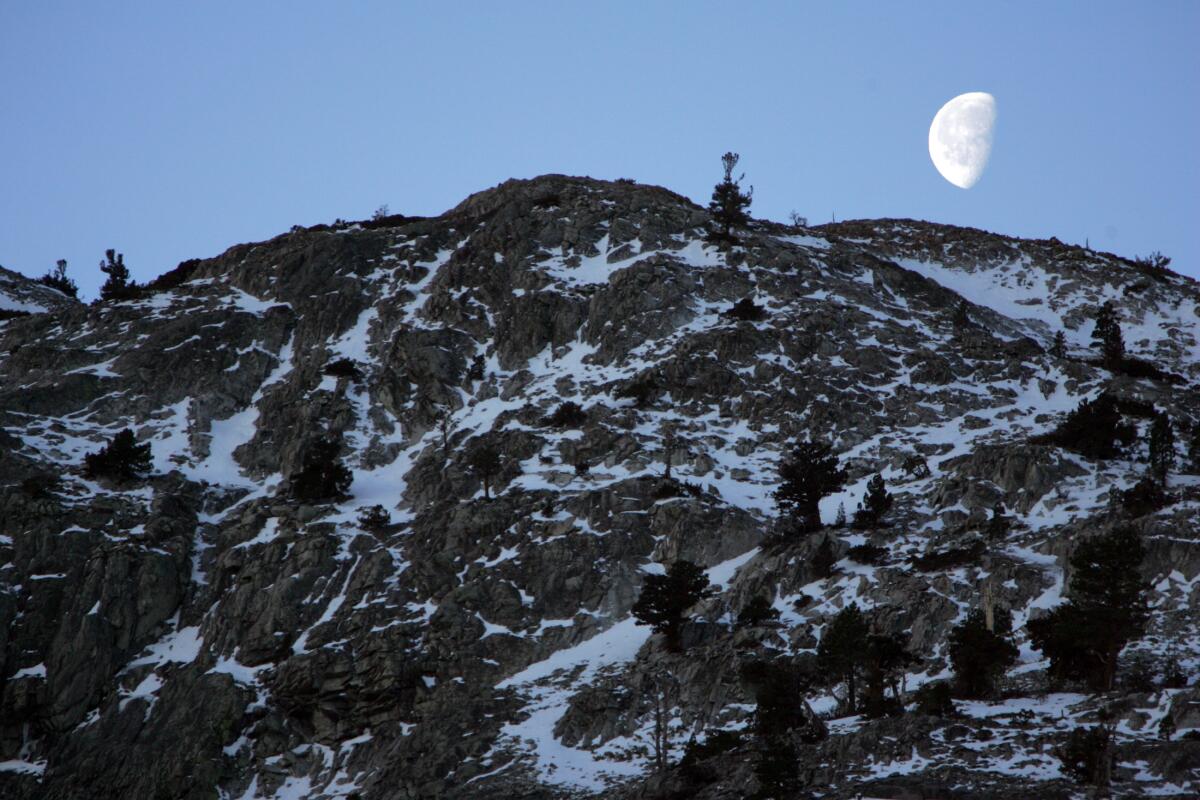
Mountains in San Bernardino and Riverside counties are expected to see a dusting of snow Friday night, with accumulation of up to 2 inches for communities above 5,000 feet of elevation. A winter weather advisory is in effect in these areas until 10 p.m. Friday, according to the weather service.
The November snow bodes well for the early ski season. Big BearŌĆÖs Snow Summit Ski Resort is scheduled to open Nov. 23.
Mammoth Mountain opened for the season on Friday. Already, there are 12 inches of snow at the main lodge and 26 inches at the summit, with 3 to 5 inches expected to fall Friday afternoon and evening, according to the mountain report.
In Los Angeles and Ventura counties, a wind advisory was in effect from noon to 8 p.m. Friday with gusts of up to 45 mph sweeping through the region, according to the weather service.
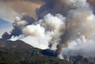
With the wind dying down and the humidity rising, some 3,000 fire personnel were making headway Saturday containing the Mountain fire, which has destroyed more than 130 homes and damaged nearly 90 others in Ventura County.
Winds are expected to ease during the weekend and then pick back up again next week with the return of the Santa Anas from Tuesday through Thursday.
ŌĆ£The gusty Santa Ana winds will likely bring low humidities in the 5% to 15% range during this period ... with temperatures rising into the 70s and 80s,ŌĆØ the weather service wrote in its Friday forecast. ŌĆ£As a result, there is still the potential for critical fire weather conditions across portions of Los Angeles and Ventura counties sometime between Tuesday and Thursday.ŌĆØ
These gusts are not expected to be as strong as the mighty winds that fueled the rapid spread of the Mountain fire this month. Those high winds and low humidity rates prompted the weather service to issue a rare ŌĆ£particularly dangerous situationŌĆØ red flag alert on Nov. 7, warning of ŌĆ£widespread, extreme fire weather conditions.ŌĆØ
A new study in Science found that California wildfires are growing four times as quickly as they did 20 years ago. Experts say that the danger increases with faster growth.
National Weather Service meteorologist Kristan Lund said the decision of whether to issue red flag warnings will probably be made Sunday or Monday, but the danger will be considerably lower than it was two weeks ago.
ŌĆ£We could still have some fires, but the fires wonŌĆÖt grow as strong as they did with the Mountain fire,ŌĆØ she said. ŌĆ£We wonŌĆÖt have as strong of winds to push the fires as quickly.ŌĆØ
More to Read
Sign up for Essential California
The most important California stories and recommendations in your inbox every morning.
You may occasionally receive promotional content from the Los Angeles Times.


![[20060326 (LA/A20) -- STATING THE CASE: Marchers organized by unions, religious organizations and immigrants rights groups carry signs and chant in downtown L.A. "People are really upset that all the work they do, everything that they give to this nation, is ignored," said Angelica Salas of the Coalition of Humane Immigrant Rights. -- PHOTOGRAPHER: Photographs by Gina Ferazzi The Los Angeles Times] *** [Ferazzi, Gina -- - 109170.ME.0325.rights.12.GMF- Gina Ferazzi/Los Angeles Times - Thousands of protesters march to city hall in downtown Los Angeles Saturday, March 25, 2006. They are protesting against House-passed HR 4437, an anti-immigration bill that opponents say will criminalize millions of immigrant families and anyone who comes into contact with them.]](https://ca-times.brightspotcdn.com/dims4/default/34f403d/2147483647/strip/true/crop/1983x1322+109+0/resize/840x560!/quality/75/?url=https%3A%2F%2Fcalifornia-times-brightspot.s3.amazonaws.com%2Fzbk%2Fdamlat_images%2FLA%2FLA_PHOTO_ARCHIVE%2FSDOCS%2854%29%2Fkx3lslnc.JPG)
