Shocking satellite images and videos show Southern California fires exploding
- Share via
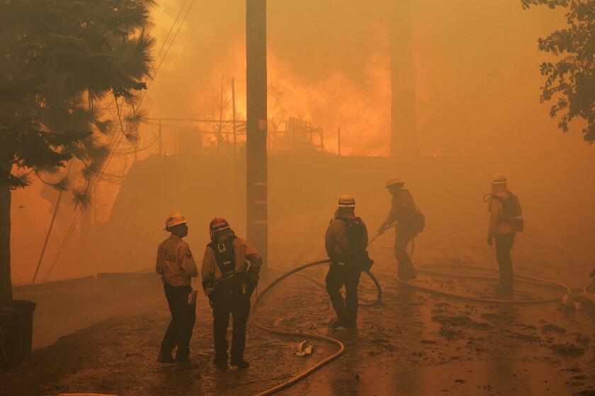
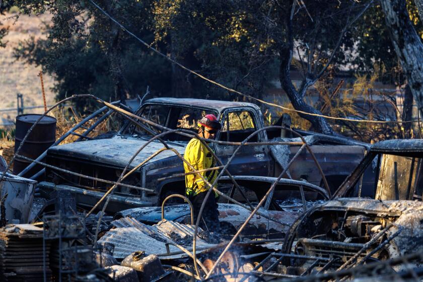
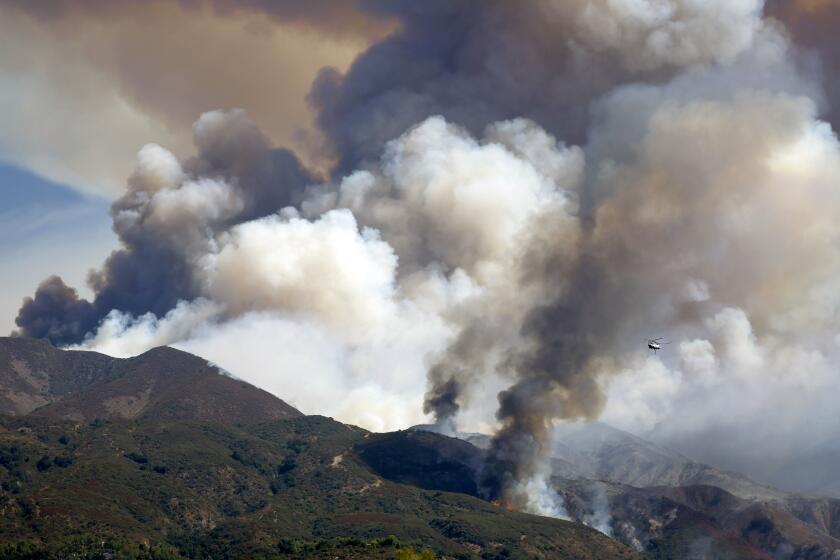
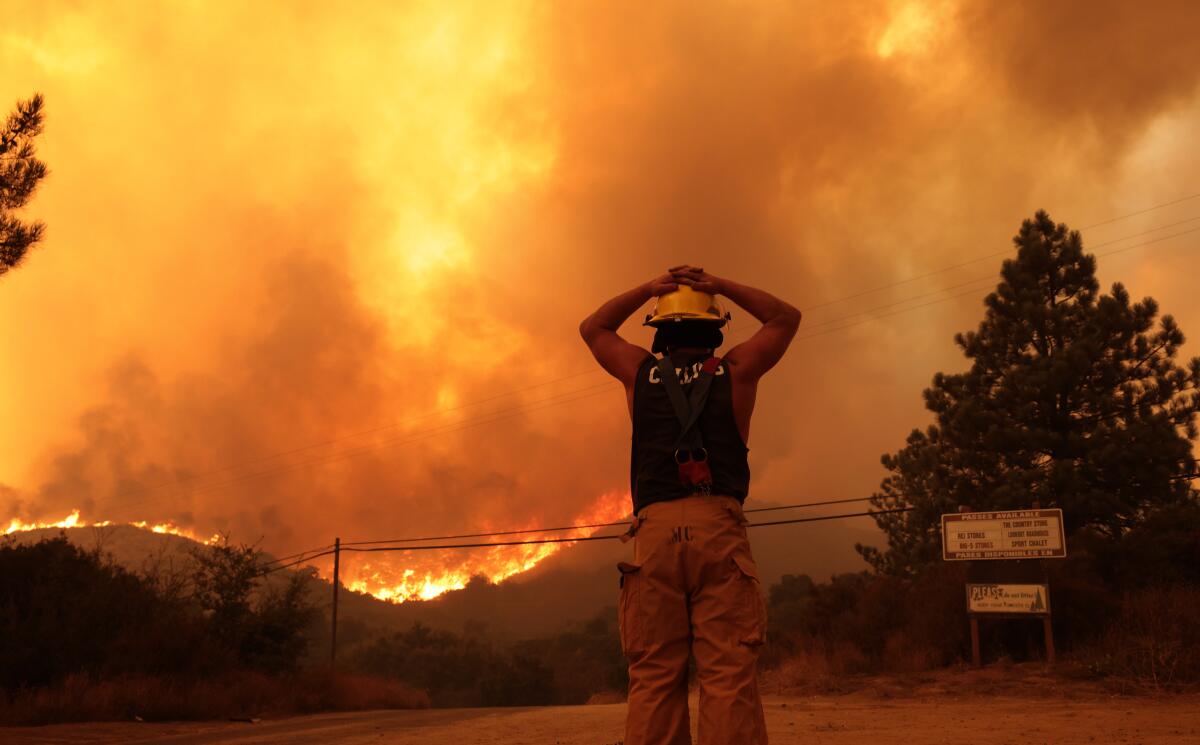
As four fires grew in Southern California, new satellite images show their scale and the amount of smoke pouring east.
The Line, Bridge, Airport and Roblar fires, all of which began in the past week, were responsible for the flames.
Each fire burns within 100 miles of Los Angeles. Reports detail over a dozen injuries and damage to homes.
The image below from the National Aeronautics and Space Administration shows the change in smoke from Tuesday, Sept. 10 to Wednesday, Sept. 11.
On the left — the earlier image — the smoke is more concentrated around the fires. On the right — the more recent image — the smoke careens eastward toward Nevada and Arizona.
An overview of evacuation orders, shelter options, mental health resources, donation info and more for the Airport, Bridge and Line fires in Southern California.
The Bridge fire, the largest of the four, was nearing 50,000 acres in size Wednesday afternoon, and was 0% contained. It began Sunday.
Fast-moving wildfires have burned homes and scorched more than 100,000 acres in a matter of days, leaving firefighting resources dangerously thin.
The Line fire, around 35,000 acres in size, began Thursday and was 14% contained Wednesday afternoon.
In the posts embedded below, an expert labels the fires and attaches further visuals.
Notable PyroCu plumes already on three significant SoCal fires this afternoon, as labeled, including #LineFire, #BridgeFire, and new #AirportFire. PyroCb possible later this PM, with lightning/outflow & downdraft winds as hazards. #CAwx #CAfire pic.twitter.com/f22jMqrE4c
— Dr. Daniel Swain (@Weather_West) September 9, 2024
The video below overlays nearby cities, including Riverside, San Bernardino, Victorville and Palm Springs.
The Airport fire began Monday and had burned over 22,000 acres as of Wednesday afternoon. It was 0%contained.
The impending arrival of hot Santa Ana winds, combined with two years of overgrown vegetation, could pave the way for a fiery fall.
Though the danger of fire season is upon us, experts say it will likely get worse.
The impending arrival of hot Santa Ana winds — combined with two years of overgrown vegetation — all but ensure that this fall will be fraught with danger.
Track wildfire origins, perimeters and air pollution with the L.A. Times California wildfires map.
“The odds definitely favor a continuation — and maybe even an escalation — of Southern California fire season over the next couple of months,” said Daniel Swain, a climate scientist with UCLA.
Times staff writer Hayley Smith contributed to this report.
More to Read
Sign up for Essential California
The most important California stories and recommendations in your inbox every morning.
You may occasionally receive promotional content from the Los Angeles Times.

