More rain hits L.A., California this weekend, while the Sierra again braces for heavy snow

- Share via
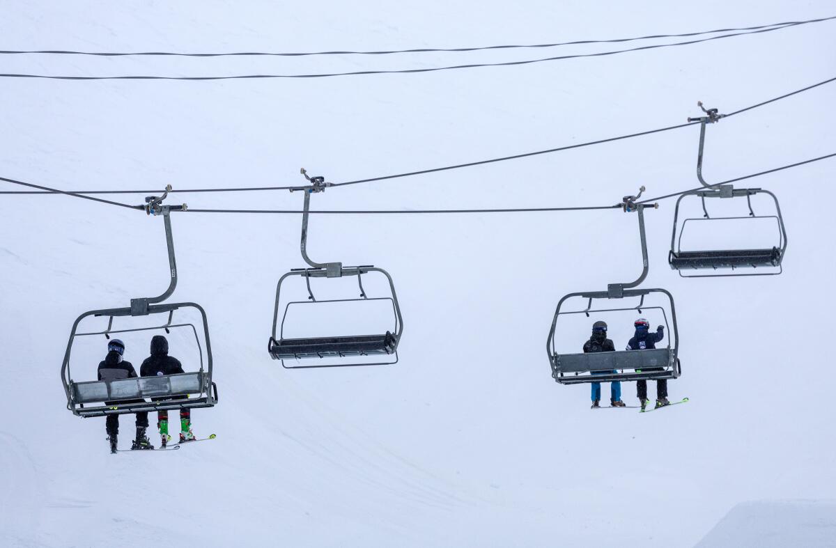
As much of California braces for more rain this weekend, the Sierra Nevada are again expecting such a heavy snowfall that motorists are being warned to prepare, or simply avoid, the region.
Rain hit Southern California on Saturday morning, with light scattered showers possible through Monday morning.
Most areas are expected to get less than 1 inch of rain, though the mountains and San Diego deserts could see up to 2 inches, according to the latest weather service models.
This latest cool, wet pattern is being driven by another large low-pressure system that is moving into Northern California from the Pacific on Friday, expected to bring precipitation and strong winds statewide — and the most severe disruptions in the mountains.
Across the Sierra Nevada, a winter storm warning is in effect from Friday afternoon through Sunday. The National Weather Service expects 1 to 4 feet of snow to accumulate there, with the highest elevations seeing the deepest snow, and wind gusts up to 45 mph.
“Travel is highly discouraged,” weather officials said, warning that mountain roads across the Sierra will be dangerous and potentially impassible: snow-covered, slippery and with possible downed branches from high winds.
In lower elevations and coastal regions across Northern California, showers and thunderstorms are expected Friday and Saturday before the storm shifts southward, bringing those rains and winds to Central and Southern California on Saturday and Sunday.
Weather experts say this system is only the start of a cool and wet pattern, making for a pretty dreary kickoff of spring.
“While the winter season may be drawing to a close, it looks like California and the broader West will see at least one more 7-10+ day period of winter-like conditions beginning this weekend,” Daniel Swain, a UCLA climate scientist, said in a blog post this week. “A series of 3-5 weak to moderate storms will affect California in the next 10-14 days, bringing widespread precipitation (especially NorCal) and cooler temperatures.”
Southern California will begin to see the effects from this first storm early Saturday, with temperatures dropping and winds moving into the area, before light rains begin, according to Rose Schoenfeld, a National Weather Service meteorologist in Oxnard.
“We’re going to see some gusty west winds across the region… especially from Santa Monica to the [Palos Verdes] peninsula,” Schoenfeld said. She said gusts could reach up to 35 mph in those coastal areas, with some even higher winds expected in the Antelope Valley and some Malibu area valleys.
“It will be pretty breezy, but not expecting particularly damaging wind,” Schoenfeld said.
Farther east, though, the Mojave Desert and surrounding areas are under a wind advisory Saturday and Sunday, with gusts up to 55 mph possible. The winds are expected to blow down tree limbs and possibly knock out power, the weather service warned.
Rains in the Southland will remain pretty minimal, Schoenfeld said, though there will be some “on and off rain throughout the day on Saturday.”
That rain is expected to give way to snow across Southern California’s highest elevations, starting Saturday and picking up Sunday, and will probably affect some mountain passes, including the Grapevine, Schoenfeld said. The Grapevine area could see a dusting to an inch of snow by early Sunday, she said.
In higher elevations across the San Bernardino, Los Angeles and Riverside County mountains, up to 3 inches of snow is expected in areas below 5,000 feet, 3 to 12 inches are possible from 5,000 to 7,500 feet — nearing resort levels — and 1 foot to 18 inches possible above 7,500 feet, according to the National Weather Service.
More to Read
Sign up for Essential California
The most important California stories and recommendations in your inbox every morning.
You may occasionally receive promotional content from the Los Angeles Times.


