Clear skies forecast for Southern California after Thursday showers ŌĆö but it wonŌĆÖt last long

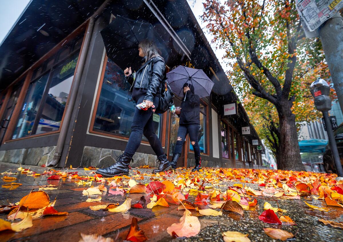
Following light showers across the Los Angeles region Thursday morning, forecasters say Southern California can expect a reprieve ŌĆö however short-lived ŌĆö from recent rains.
A weak weather system moved down the Central Coast on Wednesday, hitting Los Angeles early Thursday, where it ŌĆ£caused a real deepening of the marine layer,ŌĆØ said Ryan Kittell, a meteorologist with the National Weather Service in Oxnard.
ŌĆ£We did have some light showers and drizzle overnight,ŌĆØ Kittell said Thursday morning. ŌĆ£It was pretty widespread, but the amounts were pretty much a tenth of a inch or less.ŌĆØ
ŌĆ£WeŌĆÖre expecting that to be decreasing through the morning and be pretty much done by the afternoon,ŌĆØ he added. ItŌĆÖs unlikely that any continued showers would drastically increase rainfall totals, he said.
Come Friday, Kittell said there will be a dramatic shift in weather, with a dry, warming trend expected.
ŌĆ£WeŌĆÖre going to quickly jump from this cool drizzly pattern to Santa Ana offshore winds starting [Friday],ŌĆØ Kittell said, referencing the strong, dry, downslope winds that often cause fire concerns across Southern California. But with the recent rains, Kittell said the effect of the easterly winds, coupled with a high-pressure system over the Southwest, will cause a ŌĆ£pretty rapid warmup,ŌĆØ beginning Friday and continuing through Tuesday.
Highs on Friday through early next week will reach into the 70s.
But forecasters are warning that more rain is on the way, and Kittell said it could arrive as early as Wednesday. An ŌĆ£impactful atmospheric river eventŌĆØ is expected to move south along the West Coast from Wednesday to Feb. 5, bringing heavy rain, significant snow and high winds, according to the latest updates from the National Weather ServiceŌĆÖs Climate Prediction Center.
ŌĆ£ThereŌĆÖs still a range of outcomes as far as how much rain weŌĆÖll see, but the best estimates are for 1 to 2 inches of rain with that first storm,ŌĆØ Kittell said. ŌĆ£After that, theyŌĆÖll likely be another storm or two.ŌĆØ
Much of California and the West are expected to see higher than average precipitation over the next two weeks.
ŌĆ£People should be prepared for a pretty wet end of next week into the following week,ŌĆØ Kittell said.
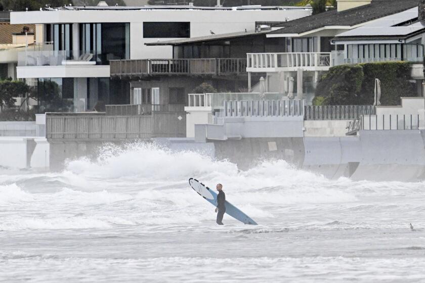
Earlier this week, a significant storm dumped heavy rain on Southern California, hitting San Diego particularly hard. Historic rainfall there caused major flash flooding that damaged hundreds of homes, businesses and roadways, leaving an untold number of families displaced.
Two ŌĆśthousand-year eventsŌĆÖ pummeled San Diego and Ventura. Officials say El Ni├▒o, climate change and seasonal patterns make similar storms more likely.
More to Read
Sign up for Essential California
The most important California stories and recommendations in your inbox every morning.
You may occasionally receive promotional content from the Los Angeles Times.


