As California fires worsen, can AI come to the rescue?
- Share via
Just before 3 a.m. one night this month, Scott Slumpff was awakened by the ding of a text message.
“An ALERTCalifornia anomaly has been confirmed in your area of interest,” the message said.
Slumpff, a battalion chief with the California Department of Forestry and Fire Protection, sprang into action. The message meant the agency’s new artificial intelligence system had identified signs of a wildfire with a remote mountaintop camera in San Diego County.
Within minutes, crews were dispatched to the burgeoning blaze on Mt. Laguna — squelching it before it grew any larger than a 10-foot-by-10-foot spot.
Without the alert, “we wouldn’t have even known about the fire until the next morning, when people are out and about seeing smoke,” Slumpff said. “We probably would have been looking at hundreds of acres rather than a small spot.”
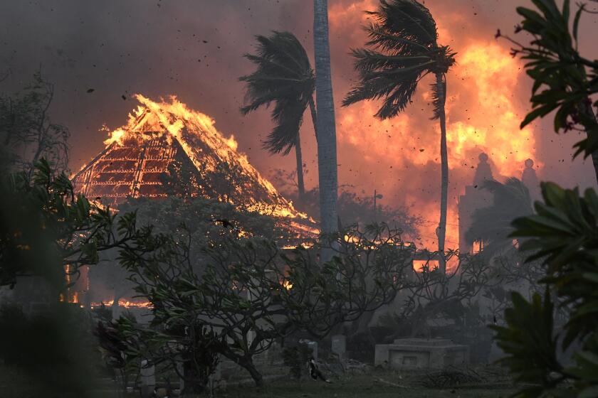
The Hawaiian Islands do see wildfire from time to time, but the catastrophic Maui fires were spawned by a striking mix of factors, including climate change.
The rapid response was part of a new AI pilot project operated by Cal Fire in partnership with UC San Diego’s ALERTCalifornia system, which maintains 1,039 high-definition cameras in strategic locations throughout the state.
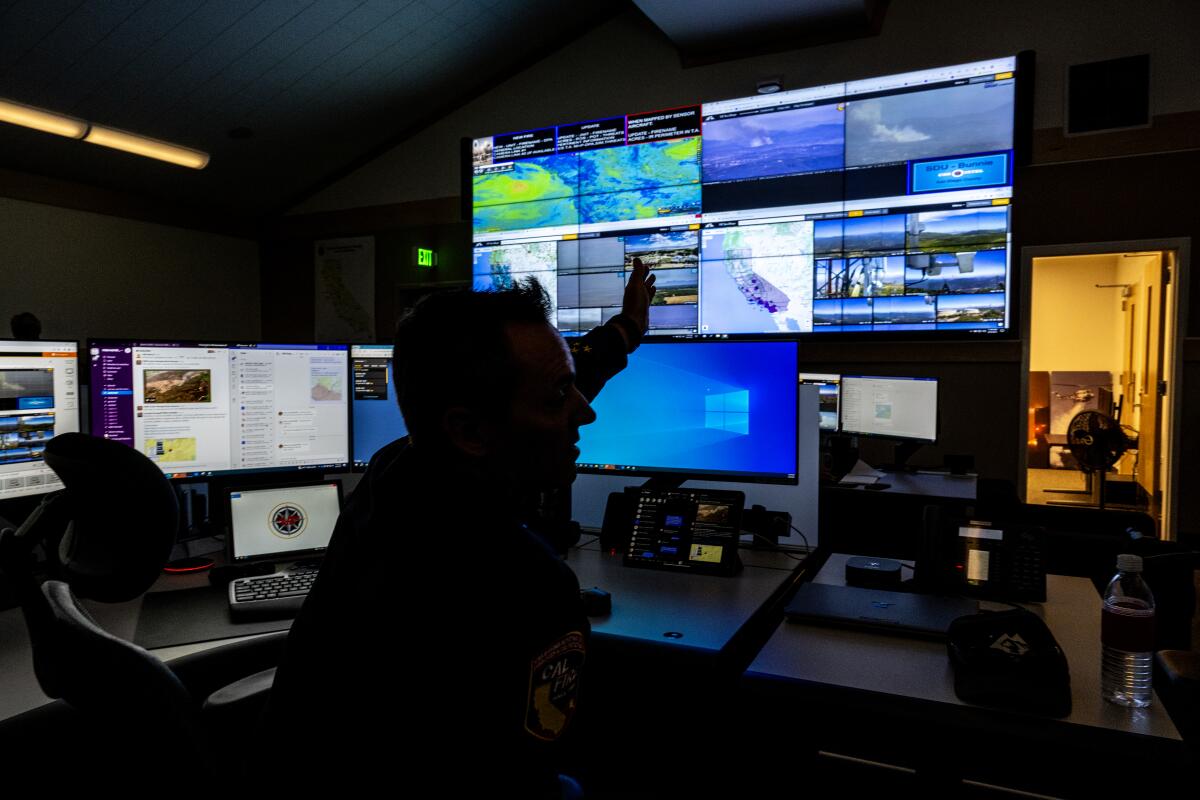
The AI constantly monitors the camera feeds in search of anomalies such as smoke, and alerts Cal Fire when it detects something. A red box highlights the anomaly on a screen, allowing officials to quickly verify and respond.
The project rolled out just two months ago to six Cal Fire emergency command centers in the state. But the proof of concept has already been so successful — correctly identifying 77 fires before any 911 calls were logged — that it will soon roll out to all 21 centers.
“The success of this project is the fires you never hear about,” said Phillip SeLegue, staff chief of fire intelligence with Cal Fire.
The program makes Cal Fire the first and only firefighting agency in the world to have such a system in place, SeLegue said. Though other agencies are testing similar tools, none feed directly to fire departments for an immediate response.
In that way, the AI can learn from Cal Fire’s immense knowledge of fire activity, said Neal Driscoll, director of ALERTCalifornia. Because the AI’s training is based on a yes-no binary, each time a Cal Fire official confirms that what the system has identified is indeed a fire, it gets that much smarter.
“This opportunity to have them teach the AI — you can’t get better expertise,” said Driscoll, who is also a professor of geology and geophysics at UCSD.
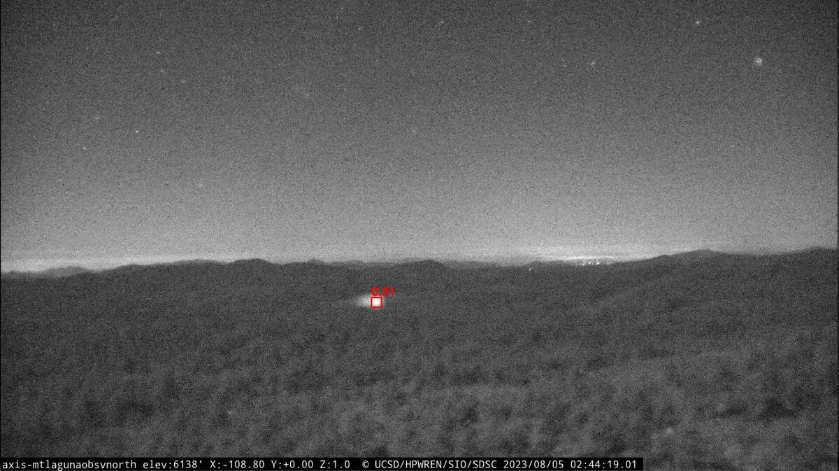
The AI has already become refined at distinguishing smoke from other anomalies — such as fog and clouds — from miles away, he said. It is particularly useful in remote rural areas where fewer people are around to report smoke or flames.
In the nearly two months since Cal Fire first received access to the AI, the program has alerted the agency to 128 incidents before 911 were calls were logged — sometimes more than 20 minutes before, according to data provided to The Times. Of those, 77 were confirmed to be fires.
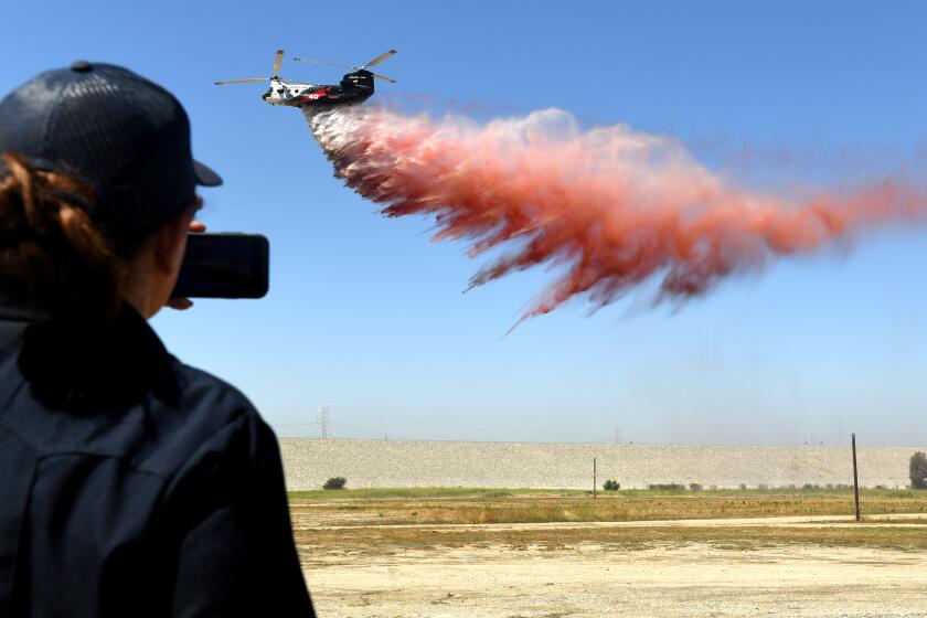
The Quick Reaction Force from the Los Angeles, Ventura and Orange county fire departments will be available 24 hours a day all year long.
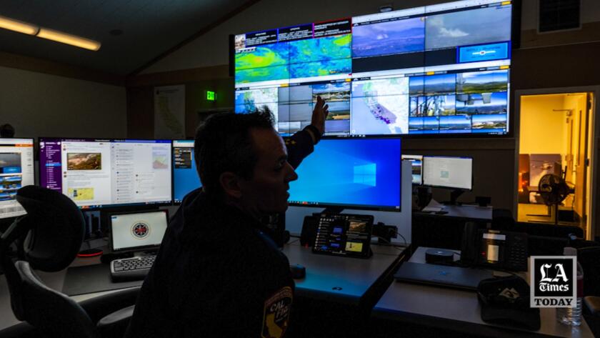
The network includes fixed cameras as well as pan-tilt zoom cameras with near-infrared night vision capabilities, which together collect massive petabytes of data. Before the implementation of AI, the footage was monitored manually by people at the command centers, who are naturally vulnerable to fatigue and human error.
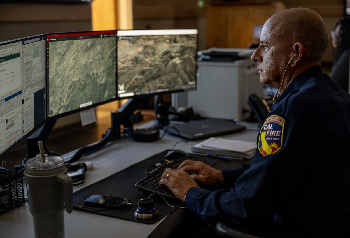
“Prior to this, we would be monitoring several areas of heightened fire danger or activity,” SeLegue said amid the soft blue glow of monitor screens in the control room at the Southern Region Interagency Operations Center in Riverside County. “Now, instead of looking at that screen constantly, the only time your eye has to look up there is when [the AI] catches something.”
There are other advancements, too. The UCSD team has worked with the U.S. Geological Survey to map nearly the entire state using Light Detection and Ranging (LIDAR) technology, which provides Cal Fire with information about vegetation and fuel moisture levels, drought, tree mortality and other landscape factors that can affect fire behavior.
“So as the season progresses and those light, flashy fuels change, the system sees their change, and we integrate that into our fire modeling program,” SeLegue said.
The system has also proven helpful for law enforcement, as investigators can use the footage to look back to the first moments of a fire’s ignition while they work to determine its cause.
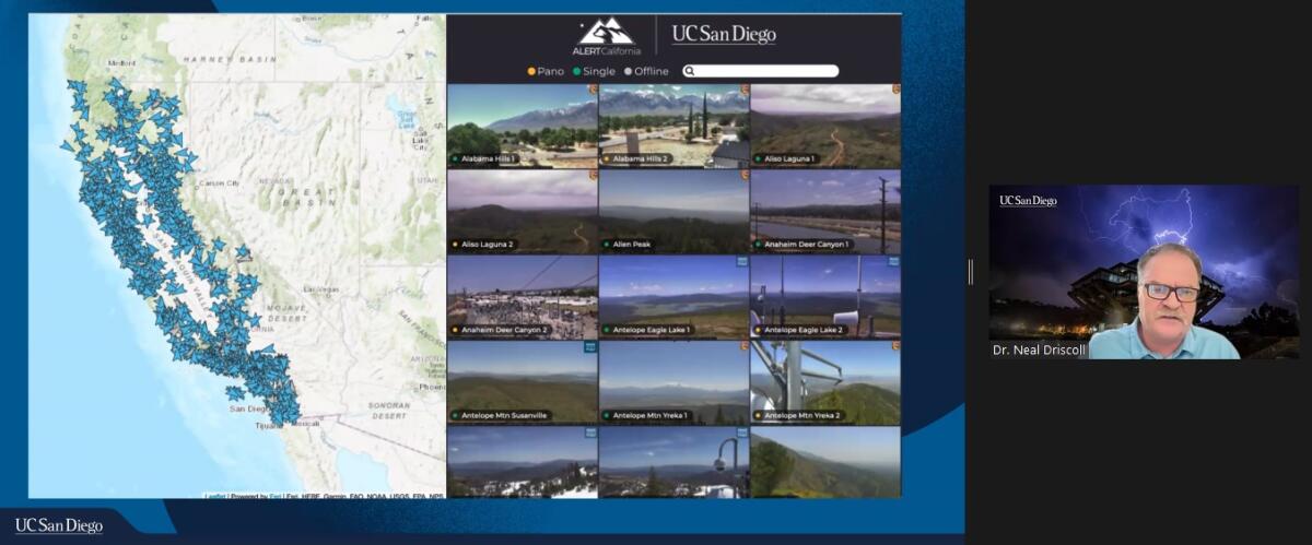
The program receives funding from federal investments, grants and other sponsors including Cal Fire, which has invested about $20 million over the past four years. Cal Fire now sponsors 201 of the more than 1,000 cameras in the state.
Driscoll said he could envision the AI technology being used to monitor for earthquakes, landslides, avalanches and other hazards in California, and eventually expanding to other states and agencies.
“We want to build the best mousetrap,” he said. “It’s extreme climate — we need to work together and leverage funds and assets. This competition will drive us to better technology.”
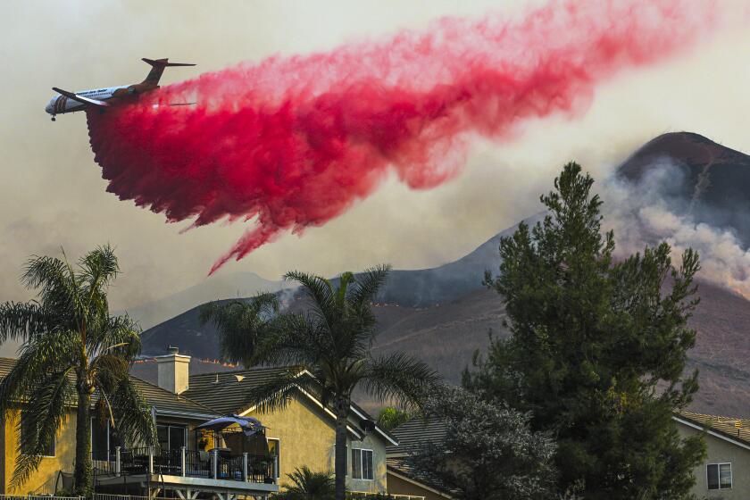
While many fire experts say retardant is an invaluable resource for battling blazes, a growing number of environmentalists have raised concerns about the bright pink material.
Such technology is only the beginning.
NASA is also funding research into AI machine learning and other tools for climate and science missions, officials said during a recent news briefing.
The agency’s Surface Water Ocean Topography mission, operated out of the Jet Propulsion Laboratory in La Cañada Flintridge, is measuring nearly all of the planet’s water, while its NISAR satellite is circling the globe to gather advanced radar imaging and other data.
“Within the next two years, between SWOT and NISAR, we will have doubled the entirety of the NASA Earth Science data holdings,” said Karen St. Germain, director of NASA’s Earth Science Division. Artificial intelligence tools “will become increasingly important to help manage and extract meaning from their ever-increasing volumes of data.”
The agency is also researching unmanned aircraft and drones that could help with emergency response during wildfires, said Huy Tran, aeronautics director with NASA’s Ames Research Center in Silicon Valley.
“This would help us with what we call the ‘second shift,’” Tran said, meaning that when crews depart for the evening, “our unmanned and remotely operated aircraft with new air traffic management systems would allow us to suppress the fire at night, which is when the wildfire is relatively calm.”
The innovations are welcome as climate change continues to fuel larger, faster and more frequent blazes in California and other parts of the world. Eighteen of the state’s 20 largest wildfires have burned since 2000, and the state saw its first million-acre fire in 2020.
Last year, wildfires in California killed nine people. The Mill fire in Siskiyou County destroyed the neighborhood of Lincoln Heights in Weed, while the McKinney and Oak fires in Mariposa County each destroyed nearly 200 structures. The Coastal fire in Orange County claimed at least 20 homes.
Nick Schuler, Cal Fire’s deputy director of communications and emergency incident awareness, recalled a recent incident where he used ALERTCalifornia cameras to monitor a fire in Topanga from a command center in San Diego.
Just by looking at the screen, he could make informed decisions about road closures, utility shutoffs and other critical response measures.
“I was able to enhance situational awareness essentially 150 miles from where that happened, and before the first resources got on scene,” he said.
He added that although there are other fire agencies experimenting with AI, “they’re nowhere near the level of having it in a 911 dispatch center — and actually having the ability to make split-second decisions based upon this emerging technology.”
- Share via
Watch L.A. Times Today at 7 p.m. on Spectrum News 1 on Channel 1 or live stream on the Spectrum News App. Palos Verdes Peninsula and Orange County viewers can watch on Cox Systems on channel 99.
More to Read
Sign up for Essential California
The most important California stories and recommendations in your inbox every morning.
You may occasionally receive promotional content from the Los Angeles Times.
