As Pajaro River levees erode, officials consider severing Highway 1 to relieve pressure
- Share via
An intense atmospheric river storm continued to put pressure on strained levees in Monterey and Santa Cruz counties on Tuesday as officials considered emergency measures to prevent more catastrophic flooding from hitting the already inundated area.
“The real question today is about manually breaching a section to relieve pressure,” said Zach Friend, a Santa Cruz County supervisor whose district includes Watsonville, which is now threatened by the swelling Pajaro River.
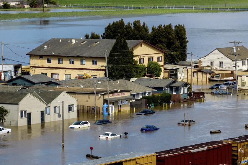
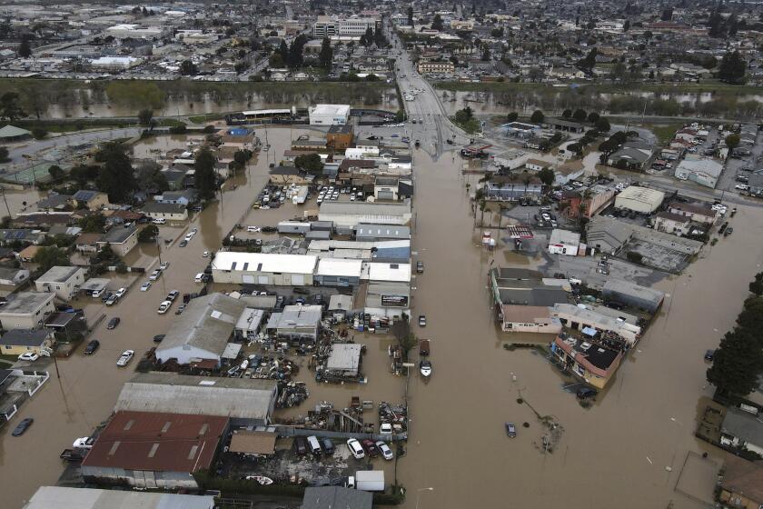
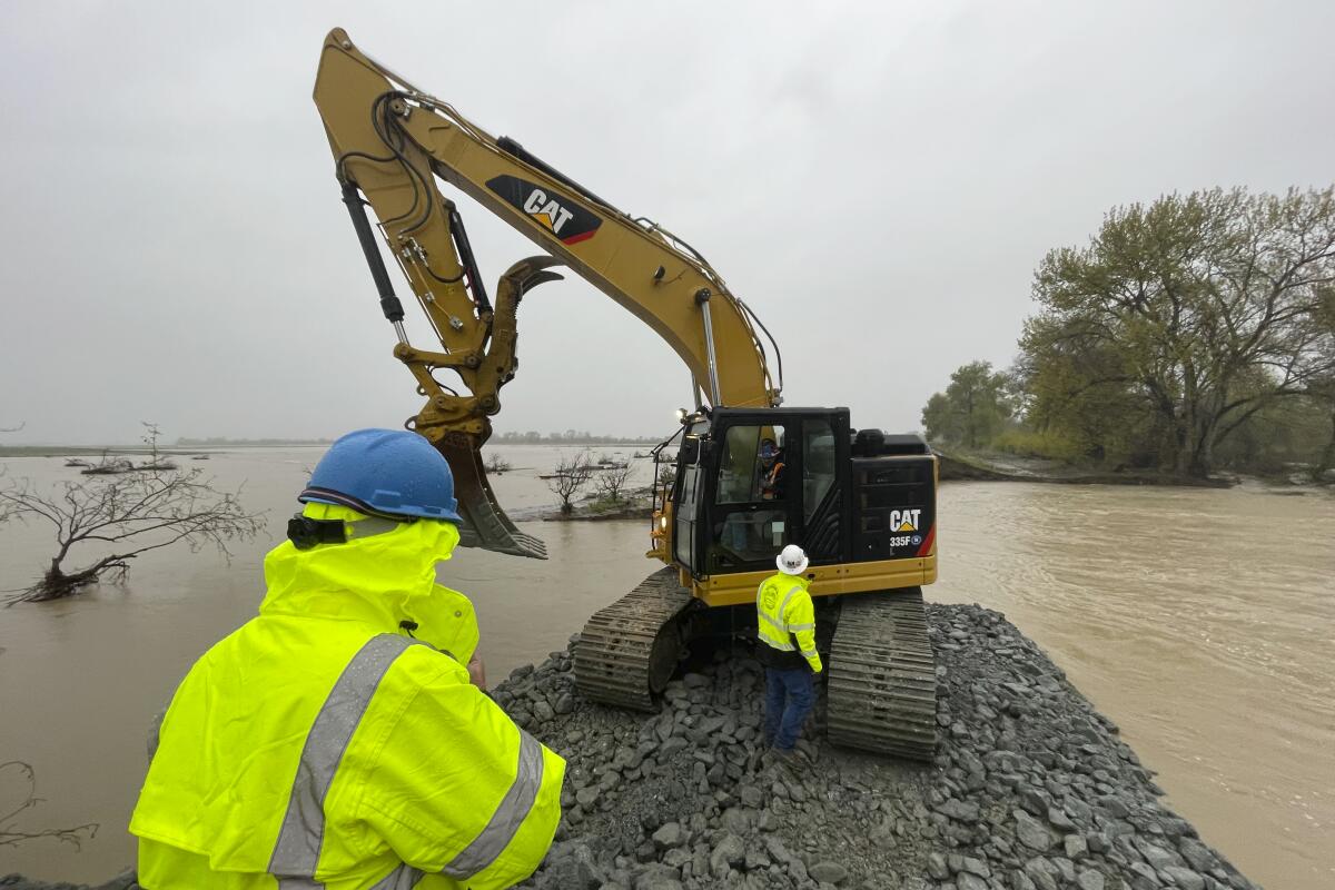
Only days ago, a levee breach along the river triggered massive flooding in the town of Pajaro, prompting dozens of water rescues and evacuation orders covering hundreds of residents. County and state officials have been working to stabilize the approximately 350-foot breach by laying rocks and boulders to prevent it from getting larger, but there is still no timeline for when it will be fixed.
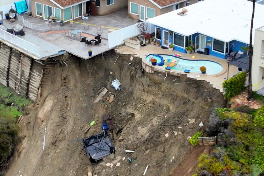
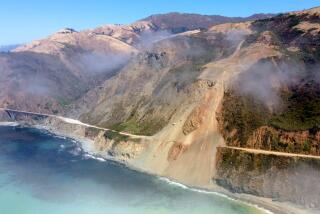
California continues to deal with damage from March storms: surging rivers, mudslides, breached levees and displacement in flooded towns.
“When these systems come in, and the system is already very wet, the flows really do not decrease for quite some time,” Monterey County water resources engineer Shaunna Murray said during a news briefing.
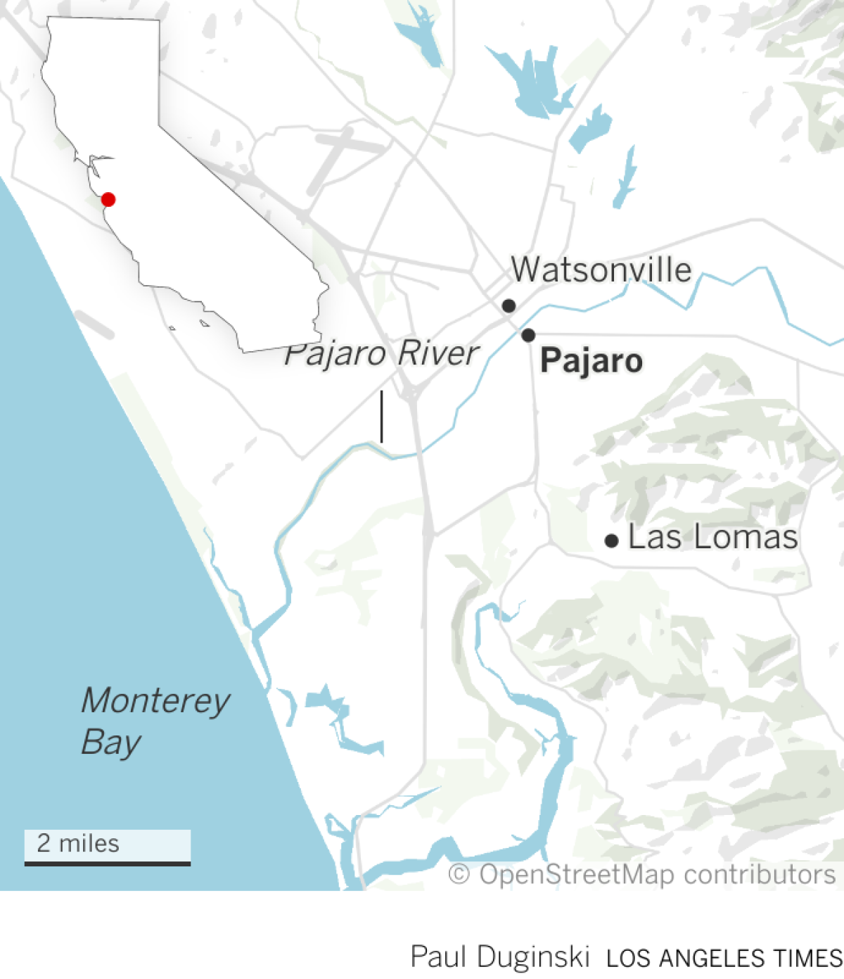
Adding to the challenge is that water flowing through a gap under Highway 1, between a levee and the highway embankment, is “outside the river channel” and “eroding the levee from the floodplain side rather than the river side,” said Mark Strudley, executive director of the Pajaro Regional Flood Management Agency.
Among the possible solutions are cutting through Highway 1 to relieve pressure on the river, he said.
Major utilities including a sewage and water irrigation pipe run through the levee and are threatened by the erosion.
But its location makes it a thorny fix — the only way to access the gap is through through a small, open area that runs between the north and southbound lanes of Highway 1.
An incoming storm threatens to overflow the swollen Salinas River, imperiling the lives of farmworkers and crops and triggering evacuations.
And because the lanes run across a shallow bridge, an excavator can’t be used to fix the erosion. In addition, it would do no good to drop rocks or sand through the opening between the lanes, because that could potentially damage the utility lines.
“If the water continues to erode through the levee such that it re-enters the river system … it could overwhelm the river system downstream of Highway 1,” where a wastewater treatment plant for Watsonville sits, Strudley said.
If the water overtops or seeps through the levee, “we stand to destroy parts of the plant and may end up releasing untreated sewage to the floodplain, to the river and then ultimately to the Monterey Bay.”
Officials have three options to deal with the situation, Strudley said.
The Pajaro River levee failure points to hazards that California has yet to address in many areas where communities are vulnerable, experts say.
“One thing you can do is open up the levee downstream of that point — a little ways downstream, but upstream of the wastewater treatment plant — to let the water back out onto the floodplain,” he said.
The second option “is actually opening up Highway 1. Basically cutting through Highway 1 and the low spot, which is to the south of the river, and letting the water out of the floodplain.”
The last option, he said, is to do nothing, which could suffice because the storm didn’t hit as hard as expected. A decision is likely going to be made Tuesday afternoon.
Times staff writer Hayley Smith contributed to this report.
More to Read
Sign up for Essential California
The most important California stories and recommendations in your inbox every morning.
You may occasionally receive promotional content from the Los Angeles Times.
