New storm set to pound California — and another after that. What to know about March’s wet forecast

- Share via
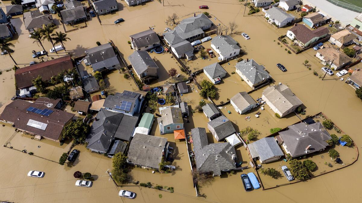
California’s extremely wet winter is turning into a wet spring.
Yet another atmospheric river will hit the state Tuesday and Wednesday, with another likely after that.
The sheer amount of rain, and the snowmelt it could bring, are bringing alarms about more flooding this week.
Here is a breakdown of what you need to know:
What are officials worried about?
Heavy rain remains a top concern with the incoming system, and the National Weather Service has issued more than 40 flood watches and warnings, with heaviest impacts expected as the system moves from the Central Coast toward the southern Sierra foothills. Flood watches have also been issued in Northern California, including portions of Del Norte, Humboldt and Trinity counties.
For years, experts had been warning Monterey and Santa Cruz County that the levee along the Pajaro River could fail.
The storm will create “considerable flooding impacts below 5,000 feet elevation across much of the California Coast and Central Valley and over the southern Sierra Nevada foothills,” the weather service said.
What are the areas of biggest concern?
Rivers, creeks and streams in several areas are once again forecast to overtop — including some, such as the Cosumnes, Salinas and Russian rivers, that are still swollen from a similar storm last week.
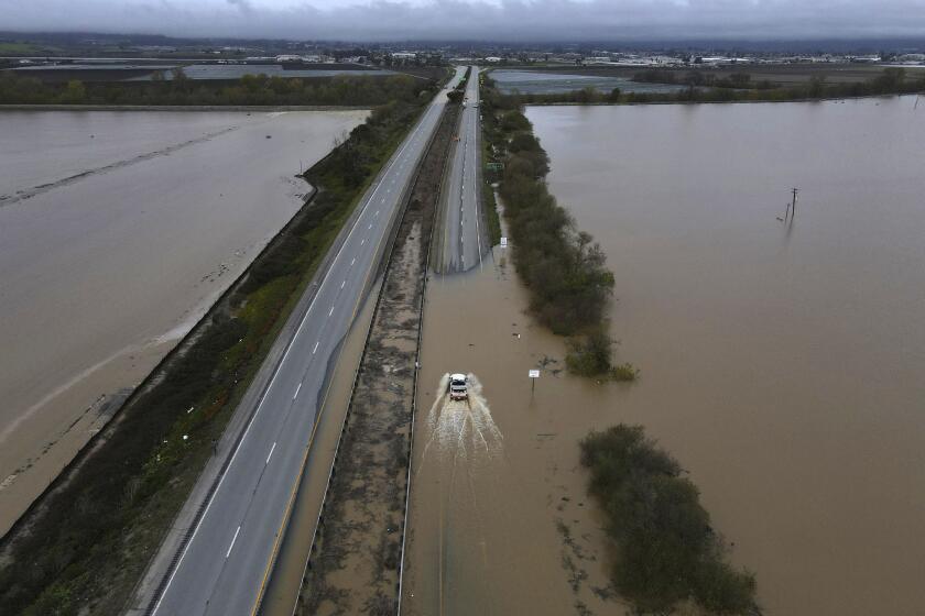
Along the nearby Salinas River, evacuation orders and warnings remained in effect Monday for more than 10,000 people, with Monterey County officials warning of a “probable inundation of roadways between the Monterey Peninsula and the rest of the county” due to the incoming storm.
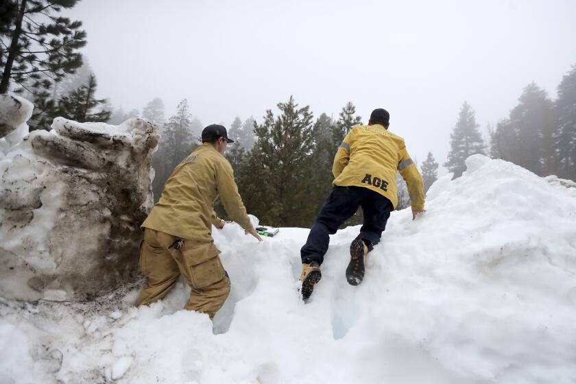
Many residents in San Bernardino County’s mountains are still far from back to normal, more than two weeks after the historic snowstorms brought unprecedented snowfall.
Evacuation orders and warnings are also in effect in portions of Fresno, Merced and Tulare counties, among other areas, and more than 30 evacuation shelters are open statewide.
What is the forecast?
Northern California: The storm is expected to be strongest in the Bay Area overnight Monday and into Tuesday, while the Central Valley and areas farther inland should see the brunt Tuesday afternoon into Wednesday.
Central Valley: Inland areas of particular concern are Merced County near Bear Creek as well as portions of Mariposa, Fresno, Madera and Tulare counties, which will see the most rain. Up to 6 inches of rain could fall in mountain areas as high as 7,000 feet, with up to 3 inches possible in foothills and 1.5 inches in the San Joaquin Valley.
Southern California: Widespread rainfall is also expected in Southern California, including up to 7 inches in the mountains of southeastern Santa Barbara County and western Ventura County, with the peak of the storm expected Tuesday. The Ventura River may get close to flood stage, and smaller creeks and streams are expected to fill.
What is next?
Another atmospheric river may arrive in California between March 19 and 22, and potentially another one after that, state officials said.
More to Read
Sign up for Essential California
The most important California stories and recommendations in your inbox every morning.
You may occasionally receive promotional content from the Los Angeles Times.


