California heat waves are getting worse. Blame the vicious ‘heat dome’
The high-pressure system over most of California is expected to bring record-breaking temperatures, part of a “self-perpetuating” system that is becoming more extreme as climate change worsens.
- Share via
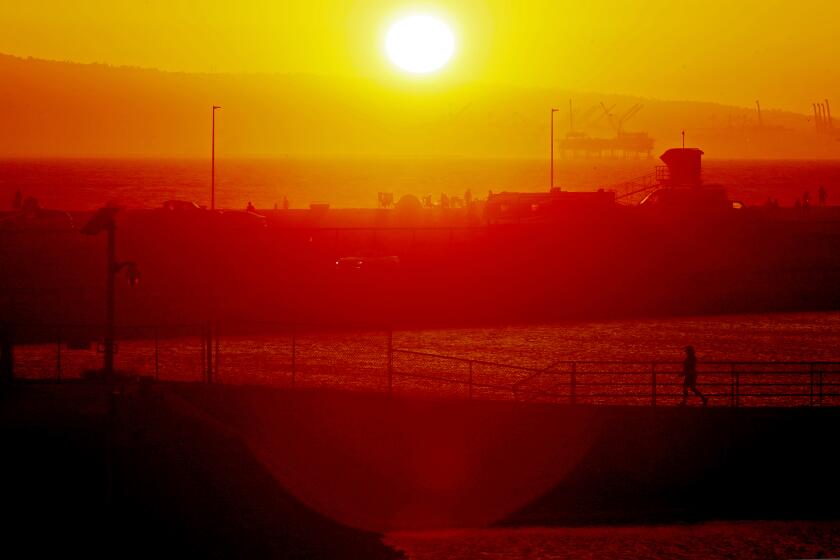
The extreme temperatures that will bear down on California over the next week are the result of a “heat dome,” a phenomenon that typically brings broiling conditions to the state as summer fades into fall. But climate change is worsening the dome’s effects and making it more lethal for people who cannot seek relief.
Experts are sounding alarms about what they say is likely to be the worst heat wave of the year so far.
“We’ve always had these systems, but not as frequently, not as intense and not as long-lasting,” said Bill Patzert, a retired climatologist in the Los Angeles area.
Forecasters say the Antelope Valley could see temperatures as high as 113 degrees during the ongoing heat wave.
From San Diego to Sacramento, the National Weather Service has issued an excessive heat warning or watch through Labor Day, cautioning about the health risks of sustained high temperatures. Experts say the heat wave will also increase the chance of wildfires and power outages and will exacerbate the state’s ongoing drought.
“This is going to be a long-duration event,” said UCLA climate scientist Daniel Swain. “And that’s sort of characteristic of heat domes — that’s partly because they can sort of be self-persisting, self-reinforcing. Once they develop and become particularly extreme, they kind of become hard to dislodge.”
What is a heat dome?
Swain said “heat dome” is a colloquial term for “a particularly persistent and strong region of atmospheric high pressure during the warm months.”
When the high-pressure system moves into an area under certain conditions, it traps heat, similar to an insulated dome. This is what will bring extreme temperatures this week across California and Nevada.
“When you’re inside of a high-pressure system, particularly a strong one, you generally have downward motion in the atmosphere, as opposed to upward motion ... and that suppresses clouds,” Swain said. “It results in clear skies, so you get more solar radiation, more warming of the surface.
California needs to start treating extreme heat like the public health hazard it is.
“But beyond that ... you get additional warming, because that downward motion itself results in compressional heating.”
He called those simultaneous effects the “vicious-cycle feedbacks” of the heat dome: the heat dries out the soil, which eliminates atmospheric moisture, which allows the sun to more easily heat the Earth’s surface and so on.
“You can kind of see how that becomes self-perpetuating,” Swain said. “And that’s what we’re going to see this week into next week over California and Nevada. We’re going to see this persistent high-pressure system — this is a pretty extreme heat dome — that’s going to accumulate more and more heat as it persists through those processes.”
From Wednesday through Labor Day weekend, weather forecasters predict temperatures could reach as high as 115 degrees in some parts of Southern California.
Heat waves are becoming more deadly and more common across the Golden State. A recent study analyzing data from 1950 to 2020 found that heat waves in Southern California were “starting earlier and ending later in the year for urban regions,” a trend that is “linked to human-induced climate change.”
Glynn Hulley, a research scientist at NASA’s Jet Propulsion Laboratory who led that study, said his team found that heat waves have become “more frequent, intense and longer-lasting.” He said this week’s heat wave fits into the “more intense” category, with record-breaking temperatures expected.
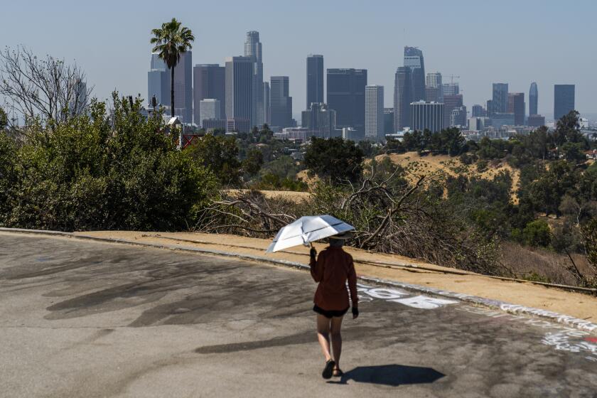
Experts remind Southern California residents to stay hydrated, stay out of the direct sun and shelter in air conditioned buildings, if possible.
“It’s the intensity of this one that does fit in with with the trends we see,” Hulley said.
While climate change isn’t causing heat domes, he said, the contributing factors — like extreme drought and a warmer atmosphere — make the effect more extreme.
“Every year, we tend to break more and more records — not just in Los Angeles but across the planet,” Patzert said. “I no longer call it global warming; I call it global heating.”
Where to expect extreme heat
The National Weather Service predicts that from Wednesday through Labor Day weekend, temperatures could reach as high as 115 degrees in parts of Southern California. It will be the region’s longest and most intense heat wave of the year, said David Sweet, a meteorologist at the National Weather Service in Oxnard. The conditions are expected to last through Monday, though “we don’t see an end to it right now,” Sweet said.
An excessive heat warning is in effect from 11 a.m. Wednesday to 8 p.m. Monday across much of Southern California, including Los Angeles County, Ventura County and the southern Santa Barbara County coast.
For Riverside, Orange and San Bernardino counties, the warning takes effect at 10 a.m. Tuesday and lasts through 8 p.m. Monday.
“Generally, from Wednesday all the way through Monday, any one of those days in the valleys, mountains, foothills and deserts — especially in the valleys and deserts — we can see highs [above 110],” Sweet said.
An excessive heat watch is in place for much of Southern California this week. Keep yourself, your kids and your pets safe during hot temperatures with these tips.
Temperatures in Woodland Hills could reach 105 on Thursday and surge to 110 on Sunday. Lancaster in the Antelope Valley could reach as high as 108 on Thursday and Sunday. In Santa Clarita, Newhall could reach 106 on Thursday and 108 on Sunday.
“The entire state is likely to be very hot away from the immediate beaches, and it might even get pretty hot there,” Swain said. “But I think that the most relatively extreme temperatures and relative to historical averages is probably going to be in interior, central and northern California: the San Joaquin and Sacramento valleys ... and the eastern San Francisco Bay Area.”
Dangerous heat
Such heat can be extremely dangerous, especially when temperatures don’t drop at night and allow the body time to recover from scorching daytime highs.
“We often focus on the daytime high temperatures — you know, 100, 110, 115 degrees,” Swain said. “And, of course, those can cause major impacts. But it’s often when heat waves don’t cool off at night that actually causes the most cumulative harm to human health and ecosystems.”
A Times investigation published last year revealed that California has done a poor job tracking the number of people who have died due to extreme heat and has largely failed to provide resources to communities that are most vulnerable to the effects of heat and global warming. In January, Gov. Gavin Newsom’s administration announced a plan for addressing extreme heat that includes recommendations on how to monitor deaths caused by heat waves and the possible establishment of temperature limits for residential units.
Read all of our coverage about how California is neglecting the climate threat posed by extreme heat.
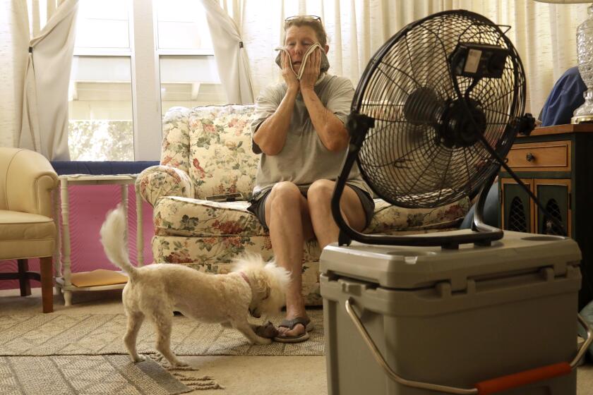
Oppressive temperatures can increase the risk of heat-related illnesses, from rashes to heat exhaustion or heat stroke. Especially vulnerable are children, the elderly and those living with limited resources. The National Weather Service and public health offices advise people to stay indoors as much as possible during extreme heat — particularly between 10 a.m. and 3 p.m., when the sun is strongest — and to stay well-hydrated and utilize air conditioning when possible.
“This is one of the fastest warming times of the year in California, from a climate-change perspective,” Swain said. “Arguably, September is becoming a summer month. ... I think we’re really seeing that manifest this year, where we’re going to start off the month with record heat — and there’s every indication that the rest of the month is still likely to be mostly warmer than average.”
More to Read
Sign up for Essential California
The most important California stories and recommendations in your inbox every morning.
You may occasionally receive promotional content from the Los Angeles Times.

