- Share via
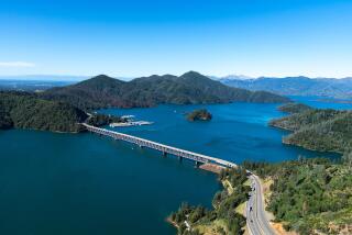
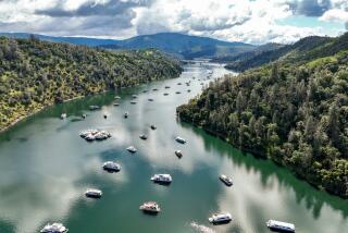
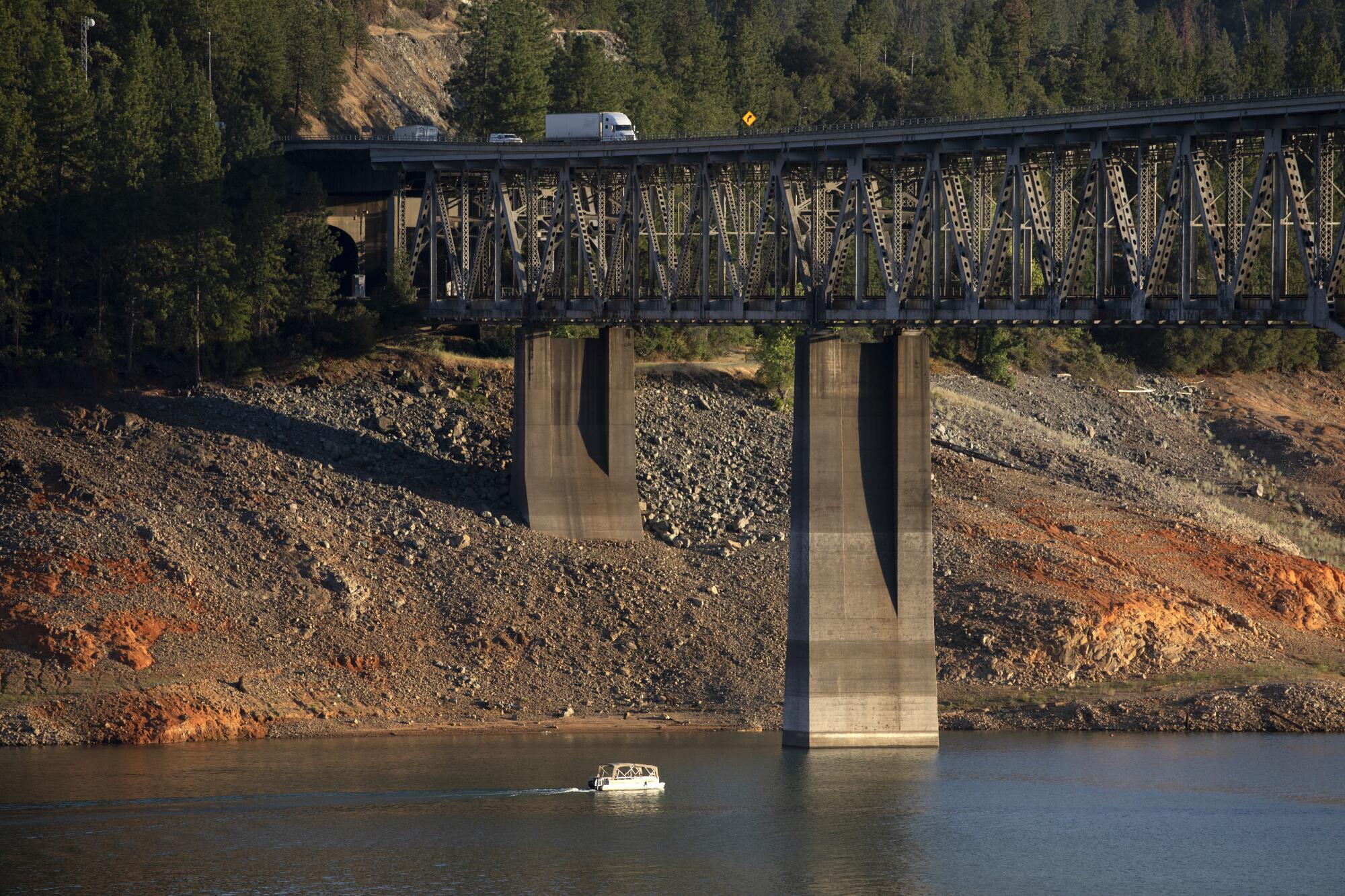
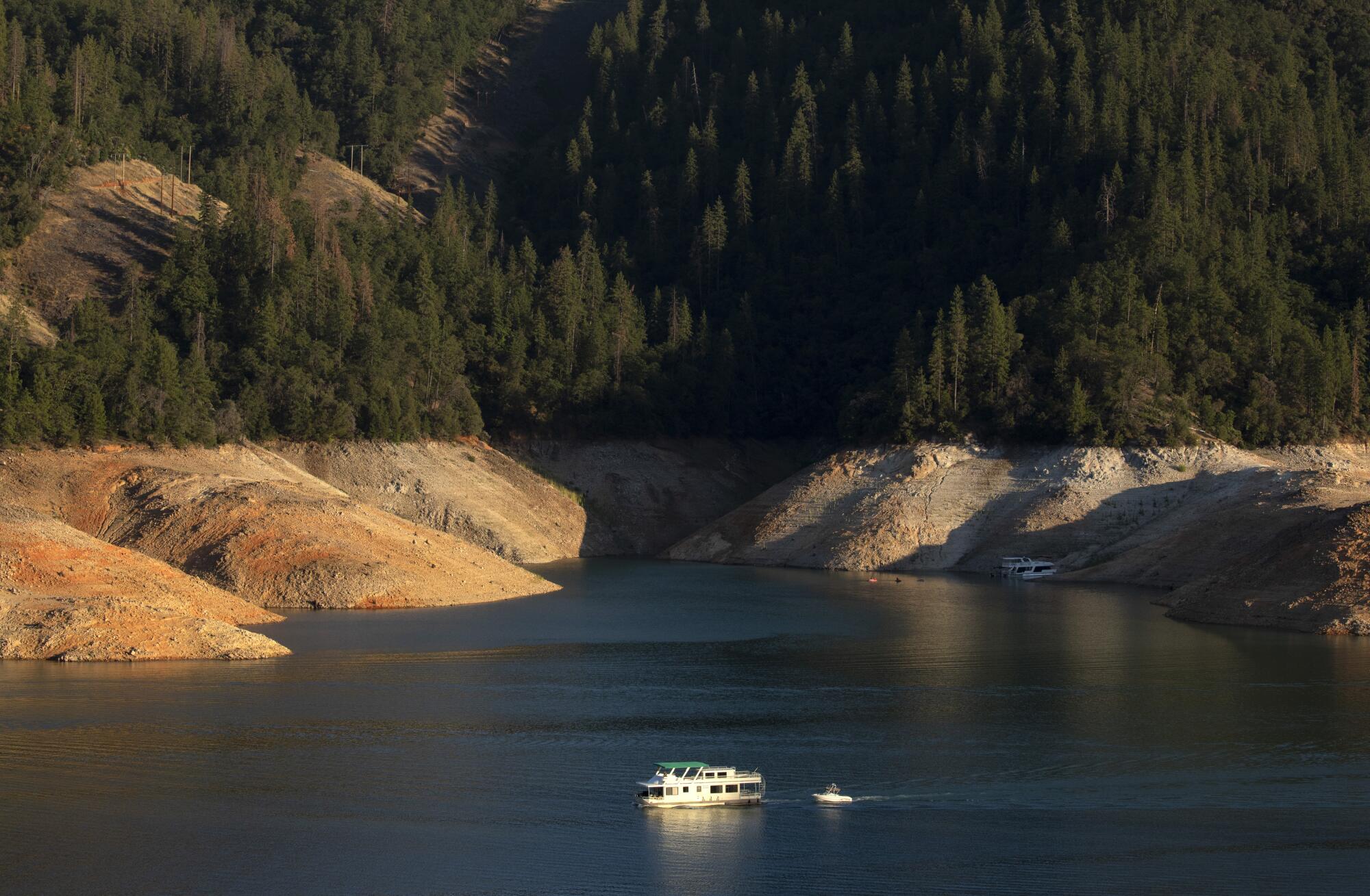
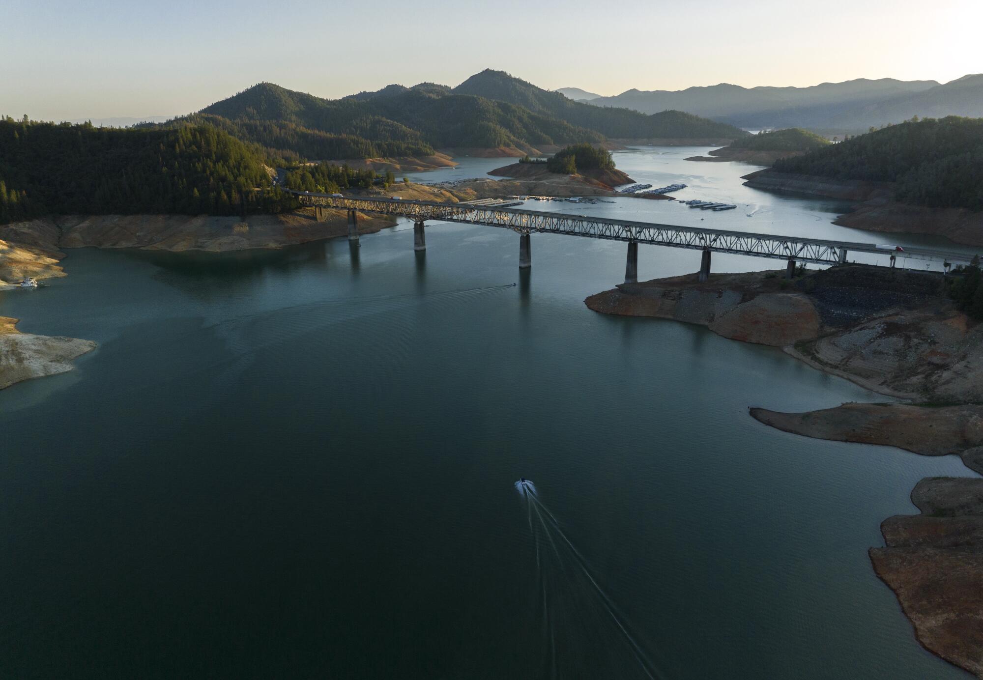
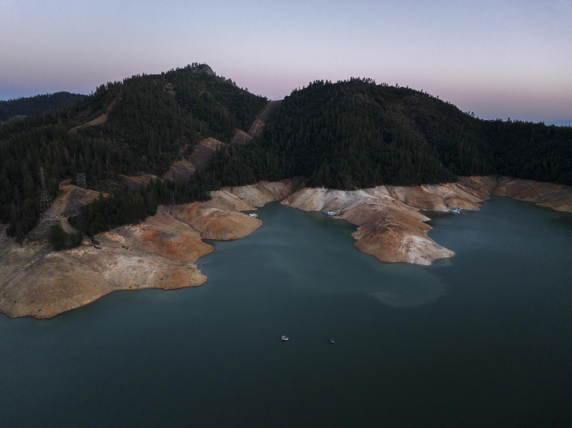
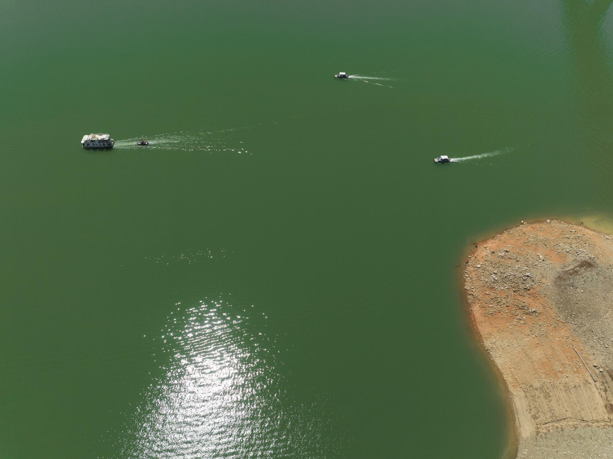
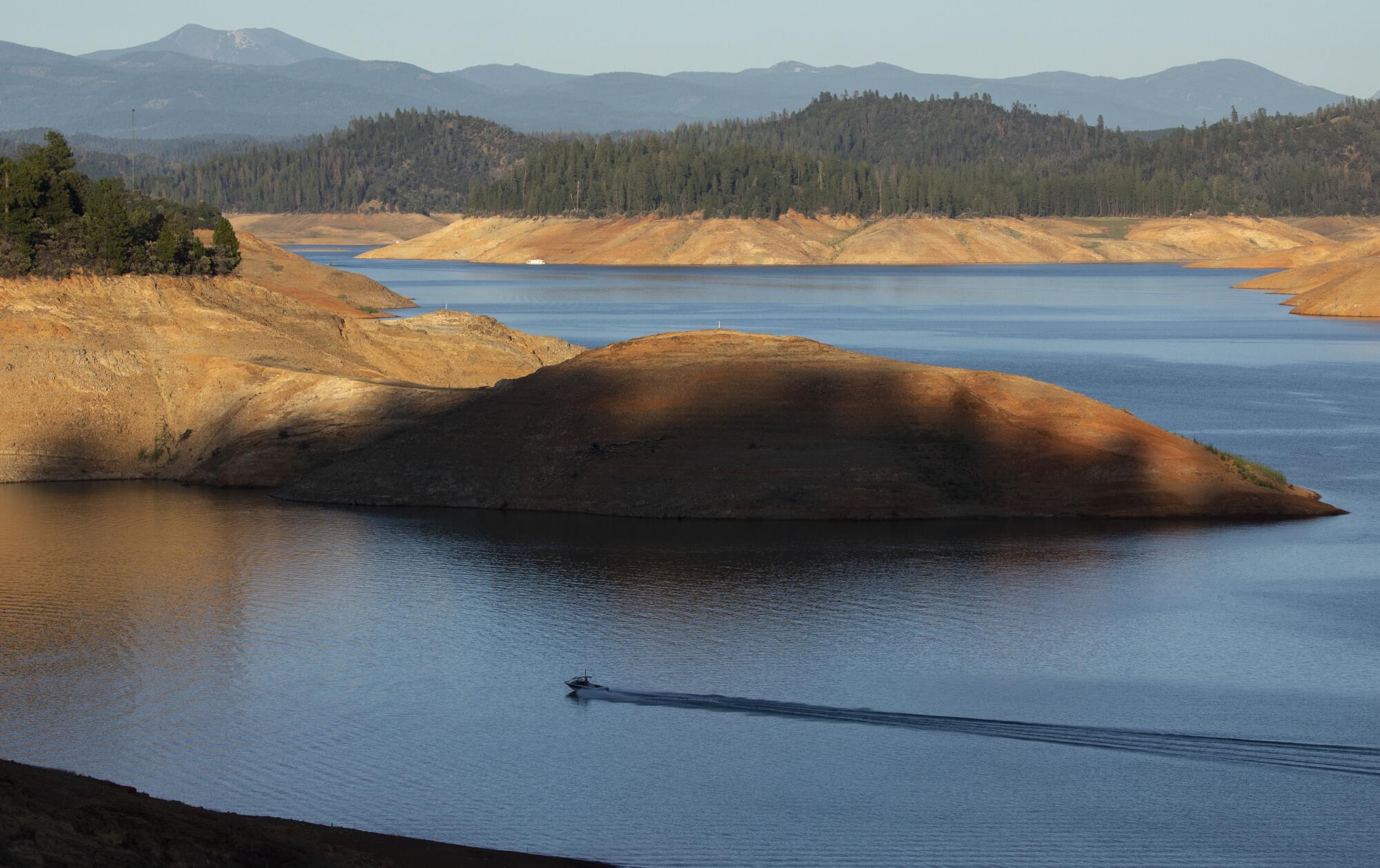
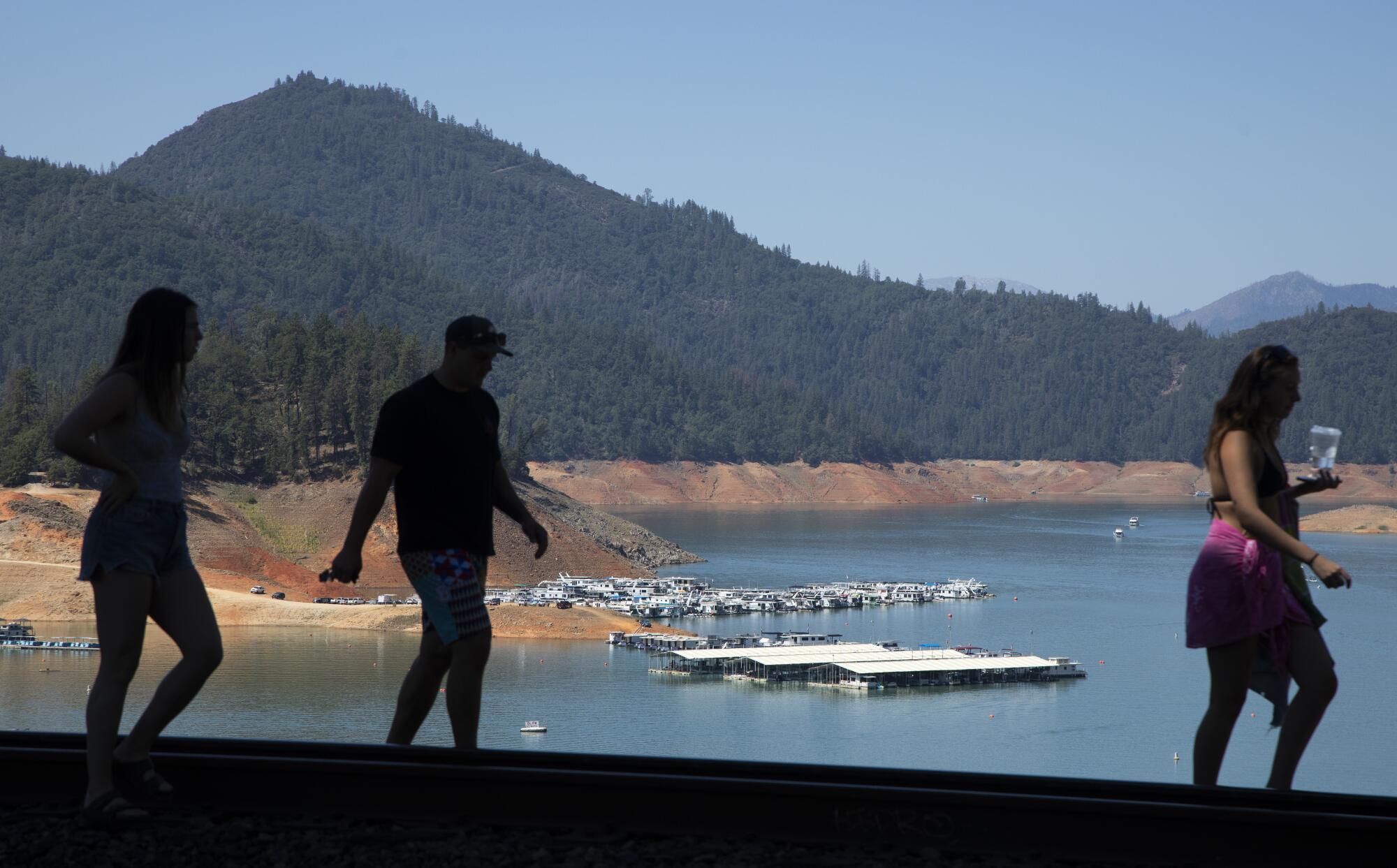
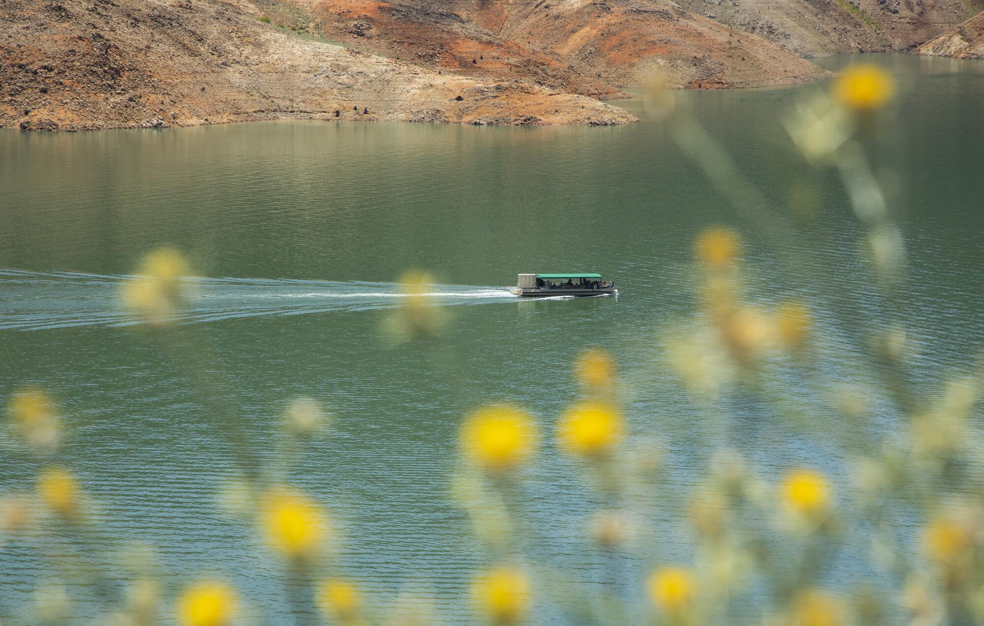
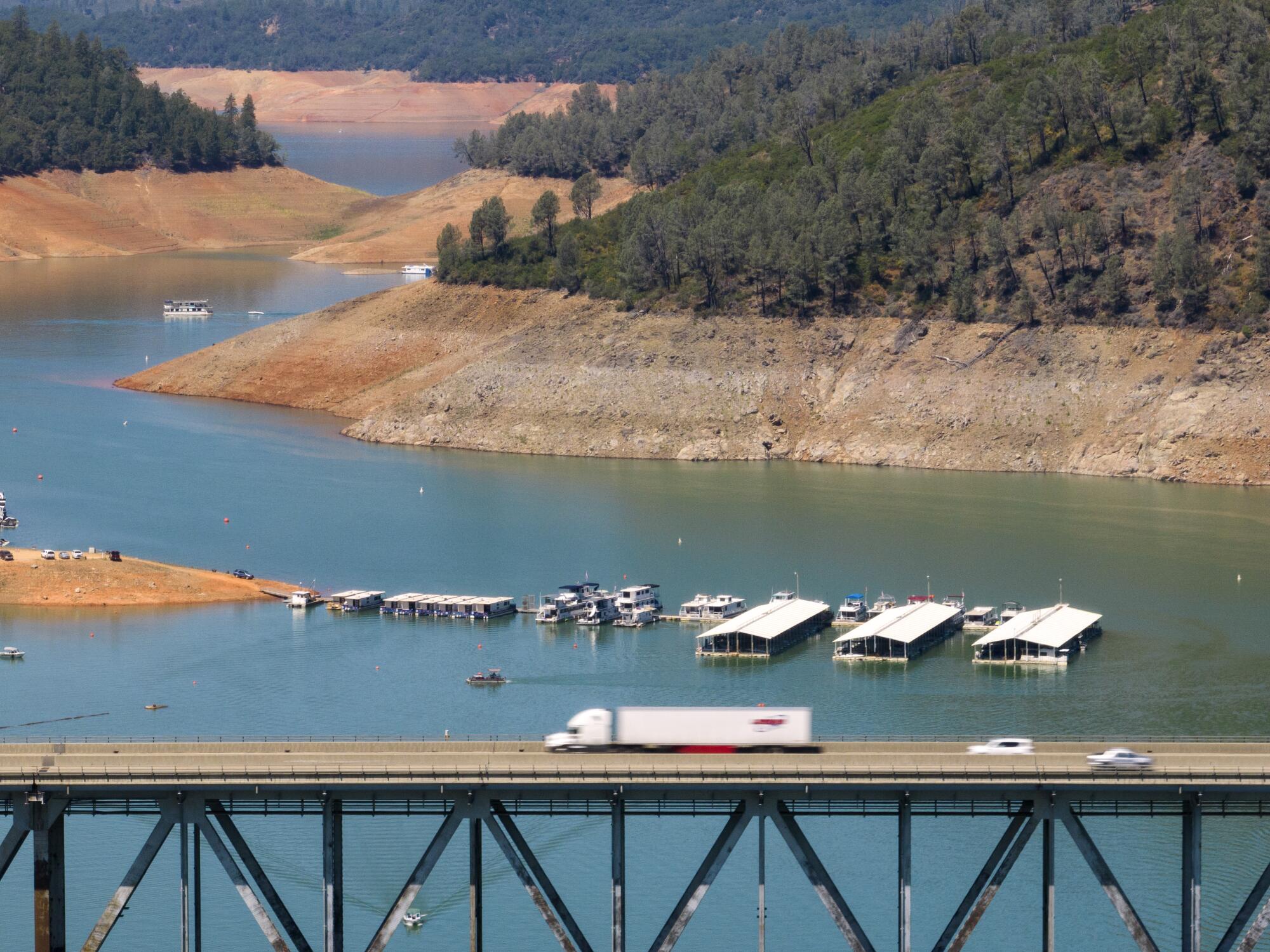
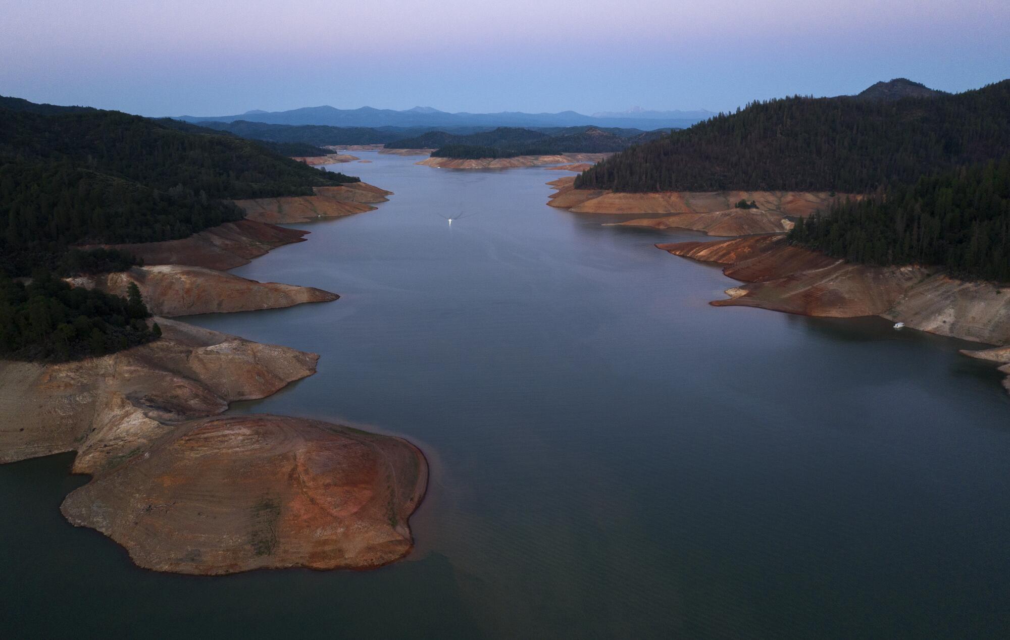
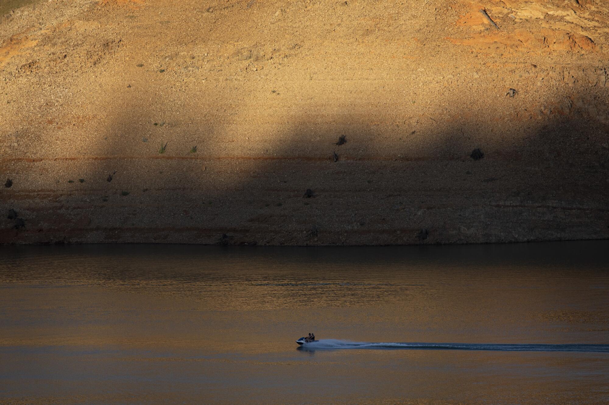
Shasta Lake, one of the state’s largest reservoirs, is currently at 38% capacity, a startling number heading into the hottest months of the year.
Shasta Lake is the reservoir of the federal Central Valley Project, the roughly 400-mile network of reservoirs and canals that pumps and ferries water largely to the San Joaquin Valley and portions of the San Francisco Bay Area. The reservoir is the driest it has been at this time of year since record-keeping first began in 1976.
For the record:
10:15 a.m. July 22, 2022An earlier version of this article stated that Shasta Lake is part of the State Water Project and that it pumps and ferries water to Southern California. Shasta Lake is actually the anchor reservoir for the federal Central Valley Project and sends water largely to the San Joaquin Valley and portions of the San Francisco Bay Area.
California relies on storms and snowpack in the Sierra Nevada to fill its reservoirs. The state received a hopeful sign of a wet winter in late December when more than 17 feet of snow fell in the Sierra Nevada. But the winter storms abruptly ceased, ushering in the driest January, February and March ever recorded. The drought over the past three years has been one of the most severe on record, and has been intensified by higher temperatures caused by global warming.
The reservoir is set to continue declining during California’s dry season this summer and fall. The coming winter is expected to determine whether and how much its levels recover.
More to Read
Sign up for Essential California
The most important California stories and recommendations in your inbox every morning.
You may occasionally receive promotional content from the Los Angeles Times.

