Advertisement

‘Terrible reality set in’: L.A. Times photographer on documenting the Dixie fire

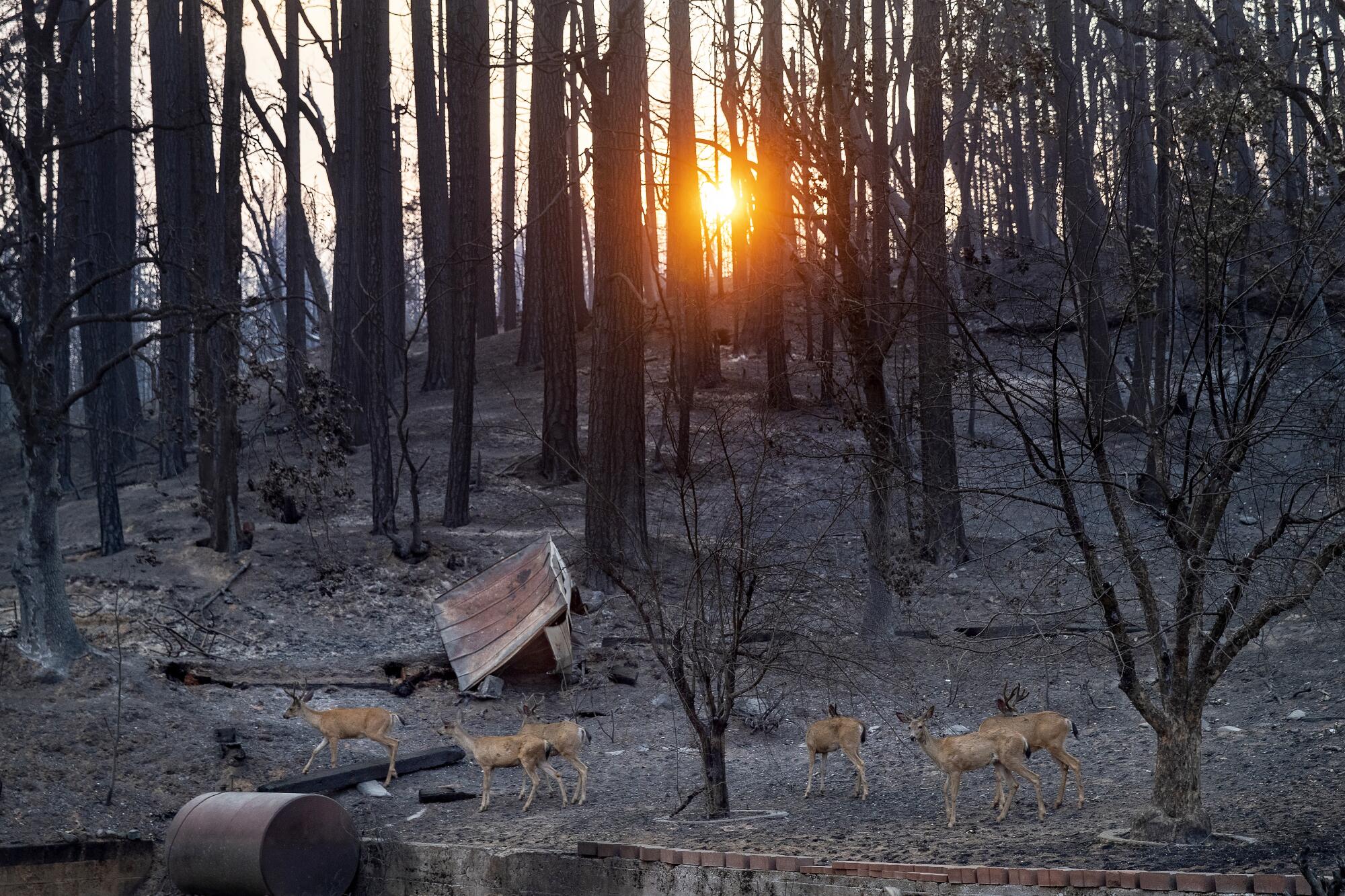
Deer, searching for food at the end of the day, make their way past scorched trees as seen along Main St. in Greenville.
(Mel Melcon/Los Angeles Times)

The second-largest California wildfire has burned more than 500,000 acres. See the remains through the smoke and ash.

With each passing mile, the smoke from the Dixie fire got thicker and thicker as I drove up Highway 89 in Plumas County. Visibility was decreasing at a steady pace to no more than 10 feet in front of me once I reached my destination of Greenville. If you have ever looked out of the window of a jetliner as it graces the clouds, that’s what it felt like, except this time I was the pilot — without any instrument training. My only thought was, if I drive slowly enough, I can hopefully react quickly enough to limit the damage if I hit something or someone.

I made it safely. Once I got out of the car, the smell of an overflowing ashtray filled my nose. This was one town I was sure of where nobody on this day was anti-mask.

The smoke that hung in the air made it impossible to immediately see how decimated the town was. As I walked in, seeing structure after structure burned to the ground, the terrible reality set in. And all those once-beautiful trees are completely scorched. The only thing — it seemed to me — that was still green in Greenville was the name itself.
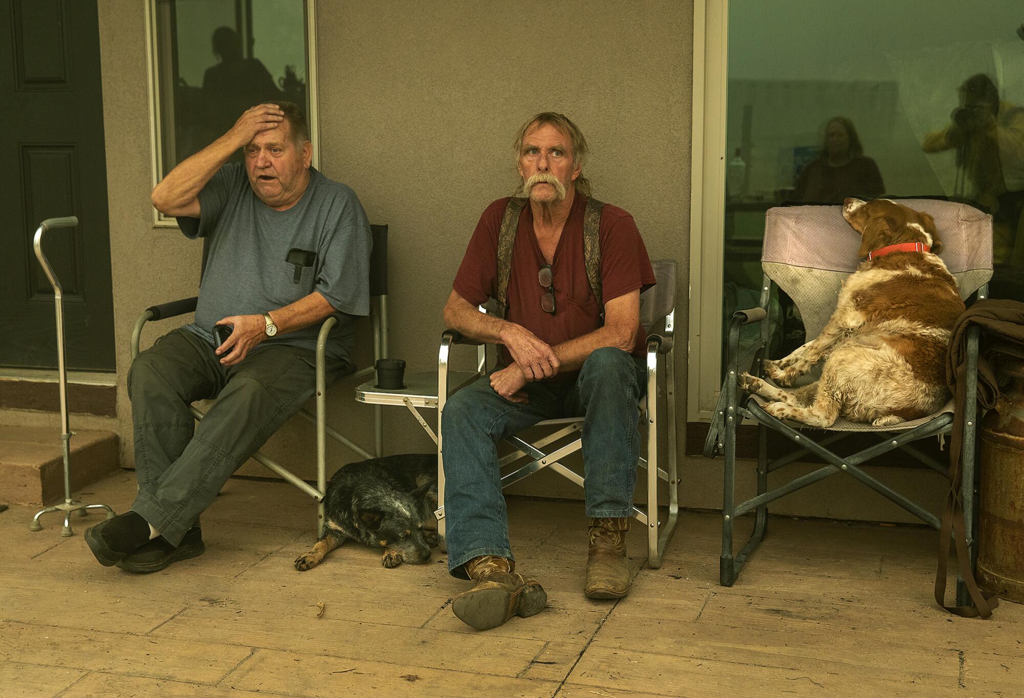
Two men sitting with two dogs
Greenville residents Gould Fickardt, 71, left, and Woody Hovland, 70, sit with their dogs, Primer, right, and Sheva outside a friend’s home. Fickhardt owns the Way Station bar and apartments, which have burned. Hovland’s home was destroyed.
(Mel Melcon / Los Angeles Times)
Advertisement
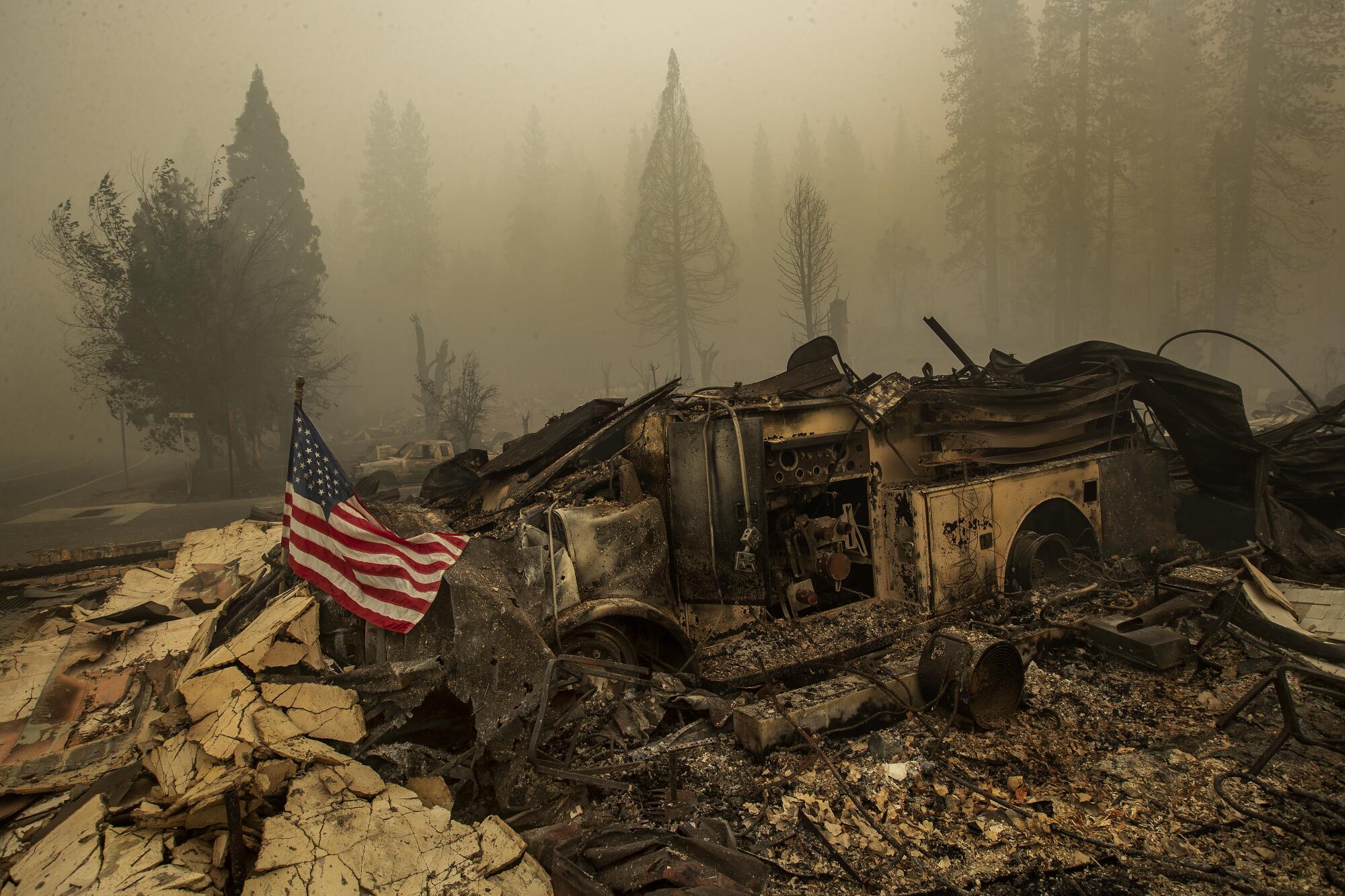
A U.S. flag on a burned firetruck with heavy smoke in the air
A U.S. flag is placed on a burned-out firetruck in front of the Greenville Fire Station on Highway 89.
(Mel Melcon / Los Angeles Times)
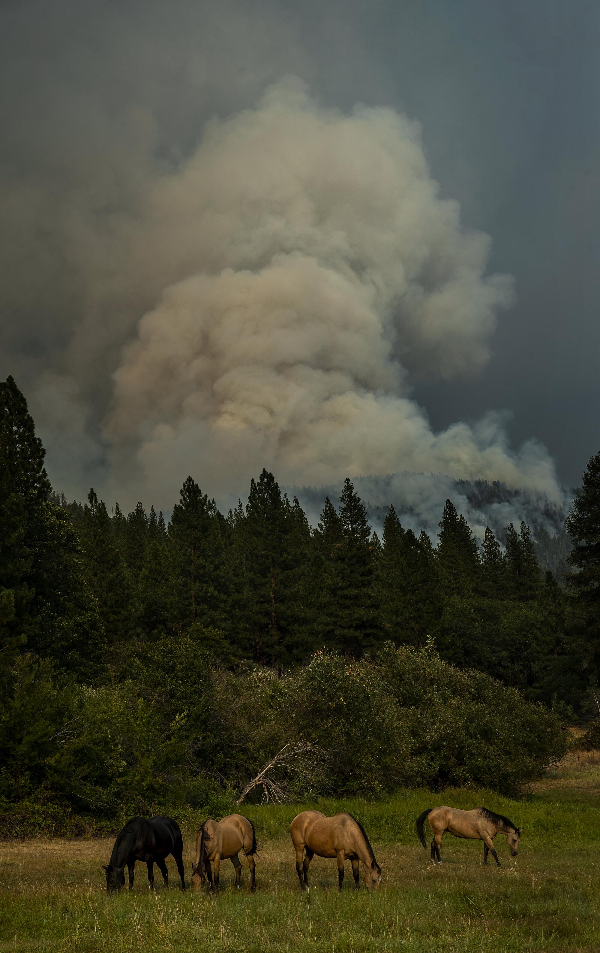
Smoke rises over a forest with horses grazing in the foreground
Horses graze in a field off North Valley Road.
(Mel Melcon/Los Angeles Times)
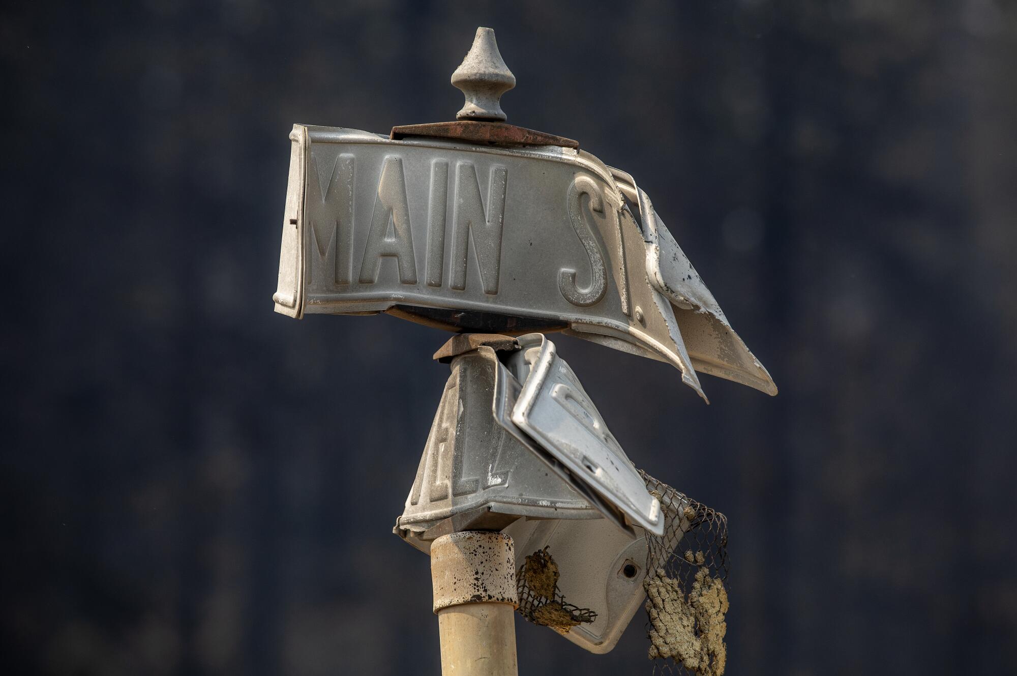
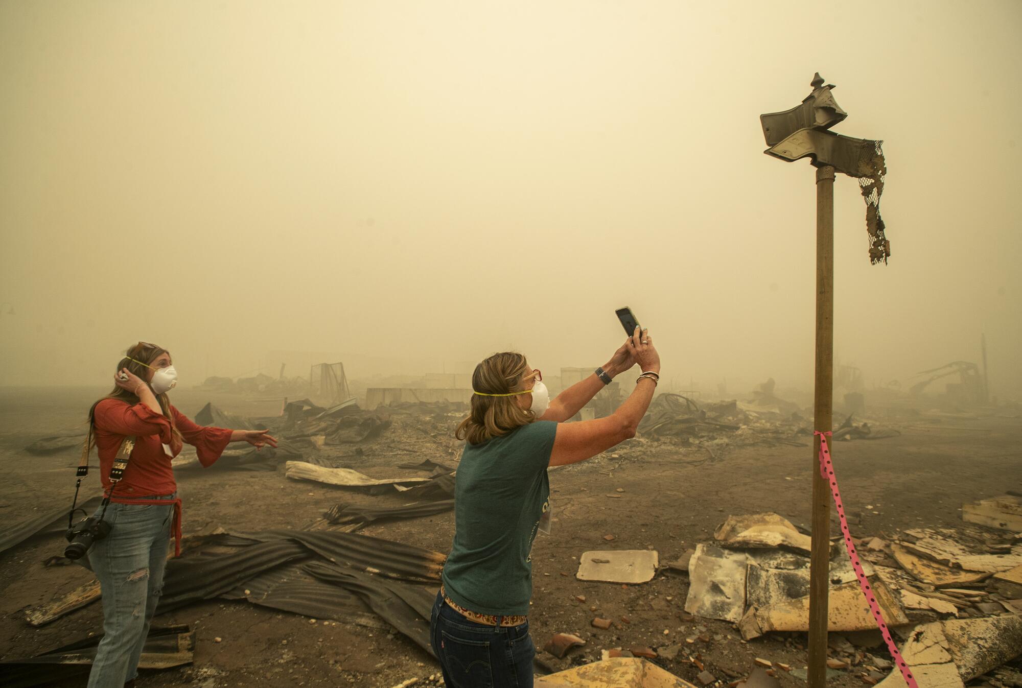
Melted street signs
Street signs in Greenville melted from the extreme temperature.
(Mel Melcon / Los Angeles Times)
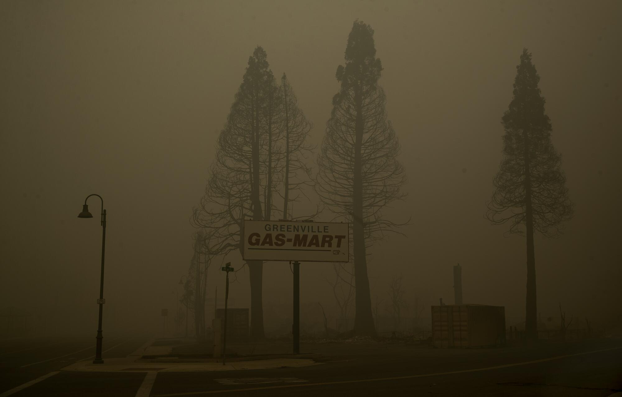
A 'Greenville Gas-Mart' sign is surrounded by thick smoke.
Smoke from the Dixie fire engulfs the town of Greenville.
(Mel Melcon / Los Angeles Times)
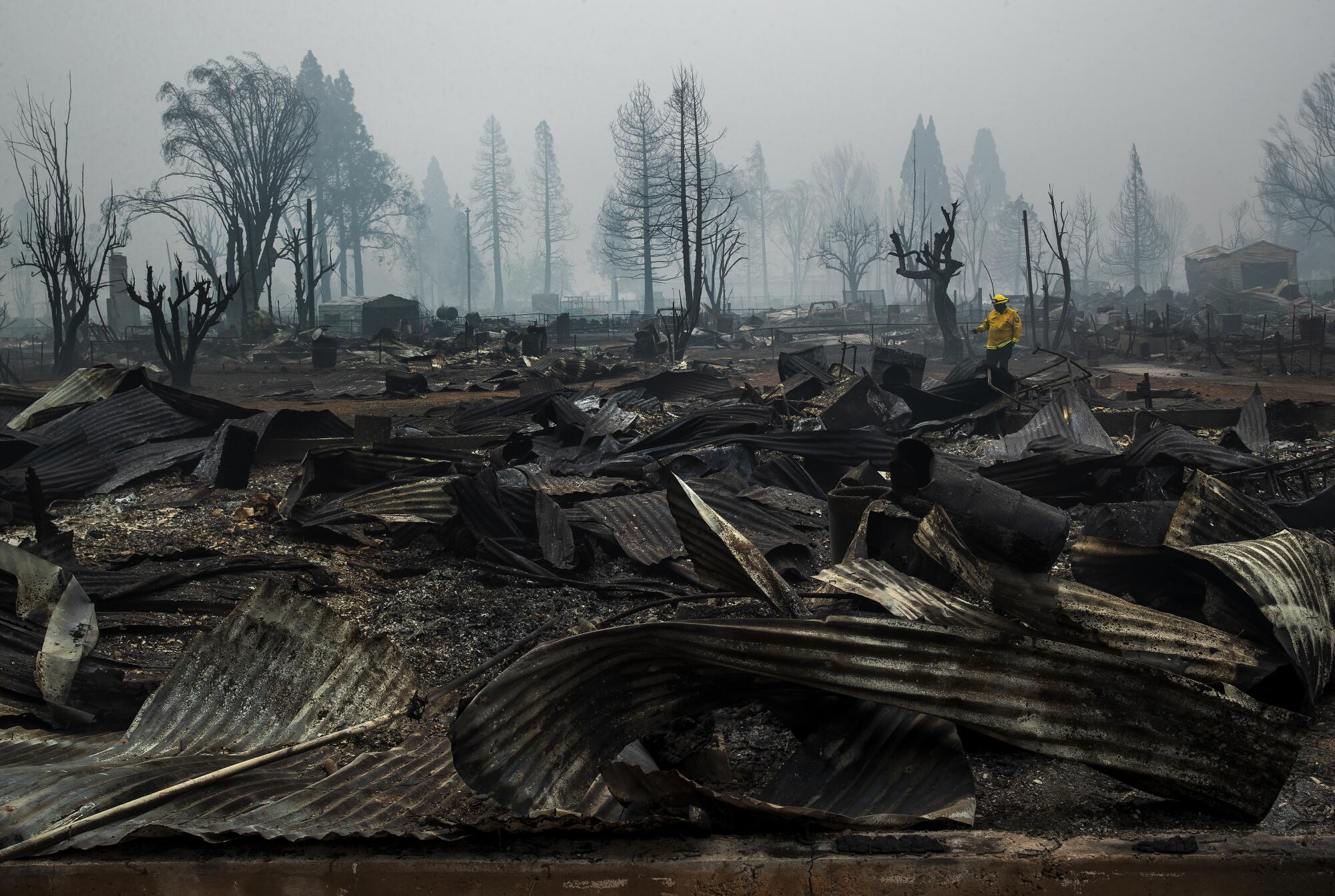
Burned homes
Jaime Crane, an inspector with Cal Fire’s Shasta Trinity Unit, walks through a burned neighborhood to document what materials the roofs of homes were made of.
(Mel Melcon / Los Angeles Times)
A woman watches another woman take a photograph of melted street signs.
Kelly Tan, 59, left, looks on as her sister, Tiffany Lozano, 44, photographs melted street signs on Main Street in Greenville. Tan is a resident of nearby Taylorsville and Lozano is a resident of nearby Quincy.
(Mel Melcon / Los Angeles Times)
Advertisement
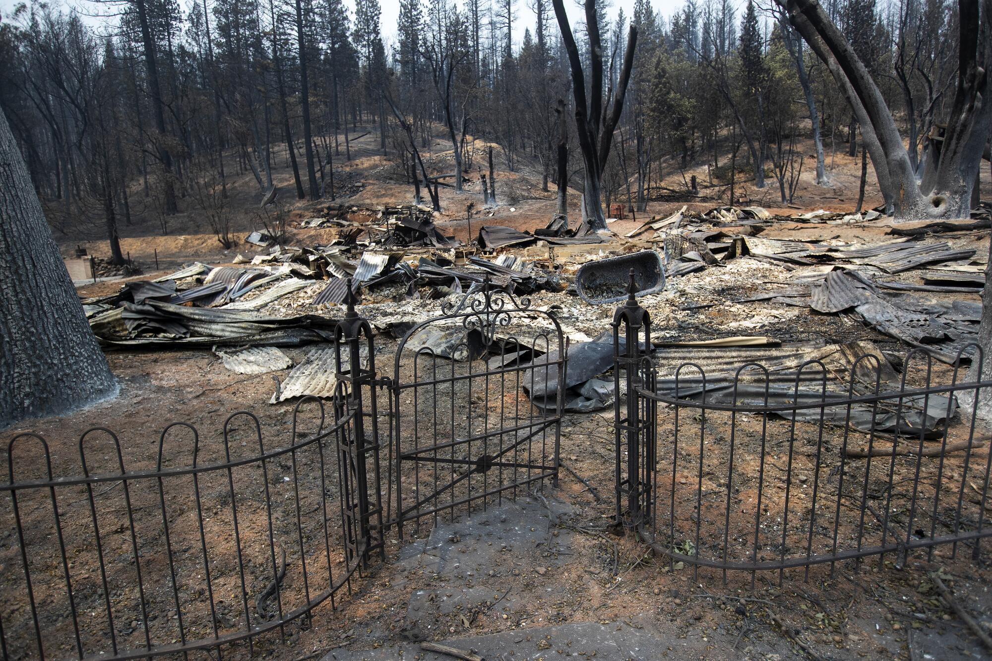
The front gate of a home on Main Street in Greenville survived the Dixie fire.
(Mel Melcon / Los Angeles Times)
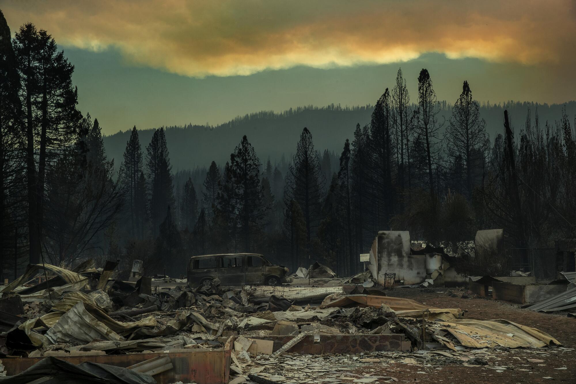
Burned homes and cars
Clouds of smoke loom over the remains of homes and cars.
(Mel Melcon / Los Angeles Times)
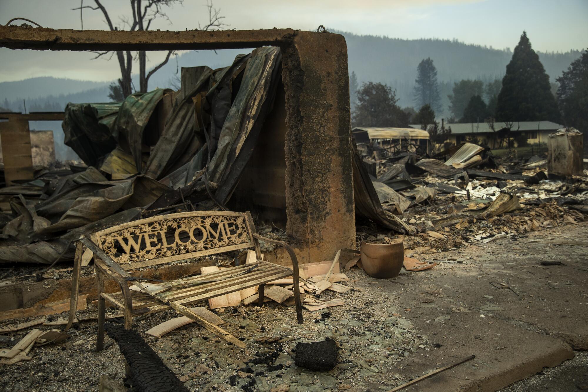
 A welcome bench is still standing after the Dixie fire on Greenville's Main Street.
(Mel Melcon / Los Angeles Times)
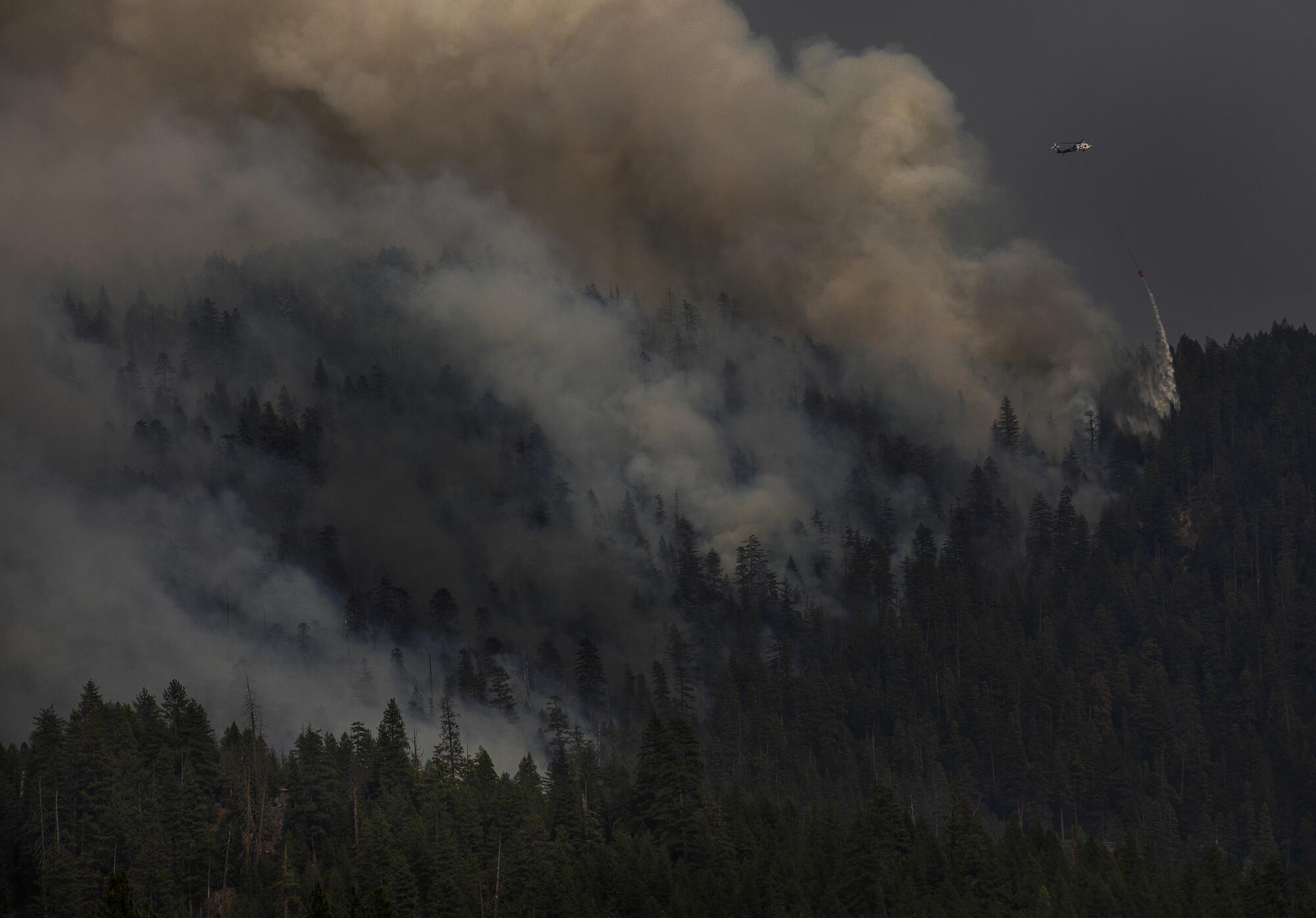
Smoke rises above a forest.
A water drop is made as the Dixie fire continues to burn near Greenville.
(Mel Melcon / Los Angeles Times)

Photo editing by Jacob Moscovitch.

Advertisement