Caltrans is estimating it can reopen Highway 1 — and reconnect Southern California with Big Sur and points beyond — by early summer.
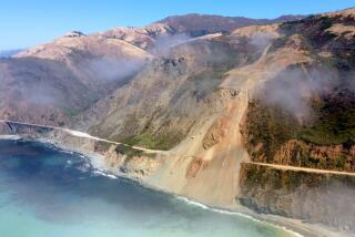
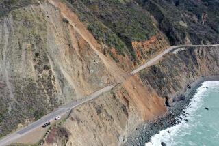
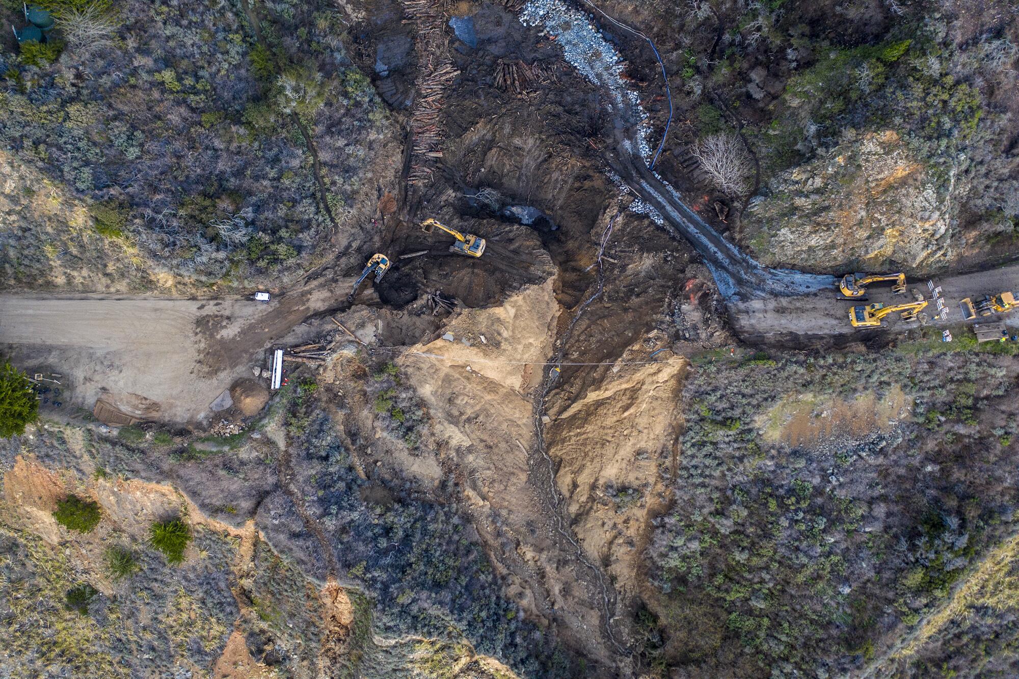
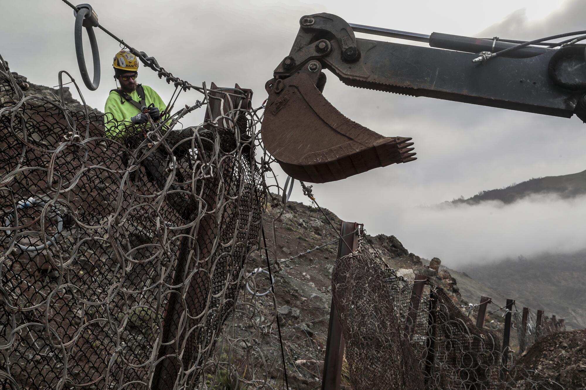
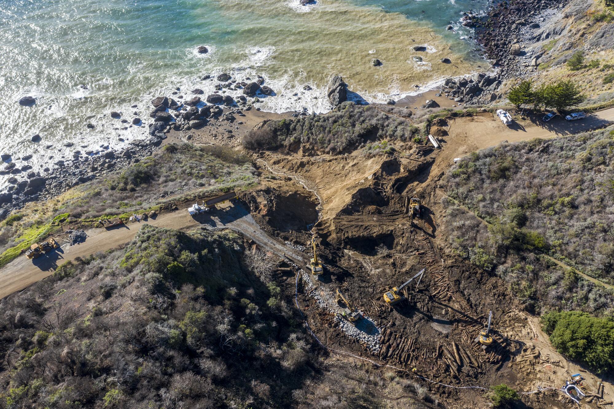
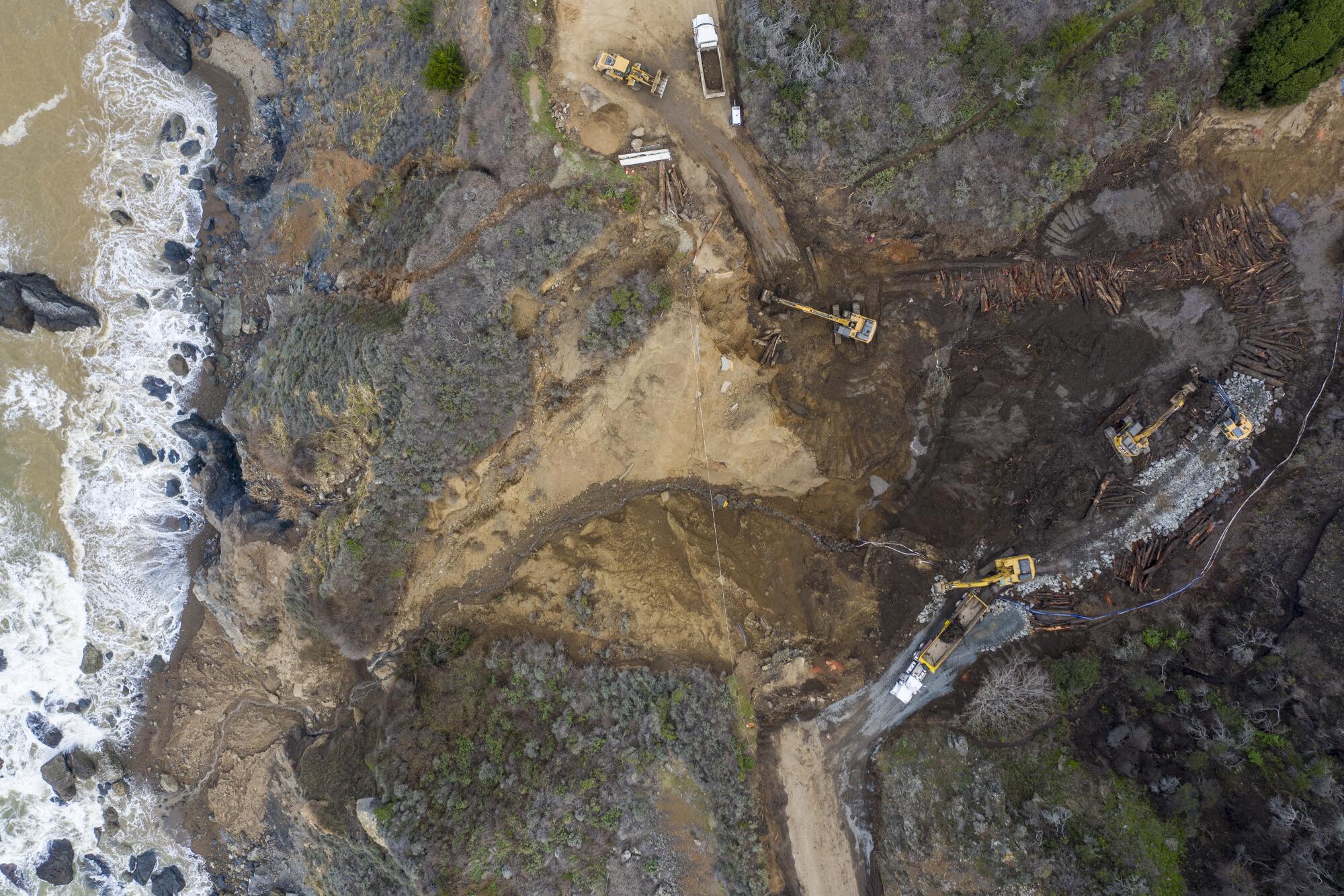
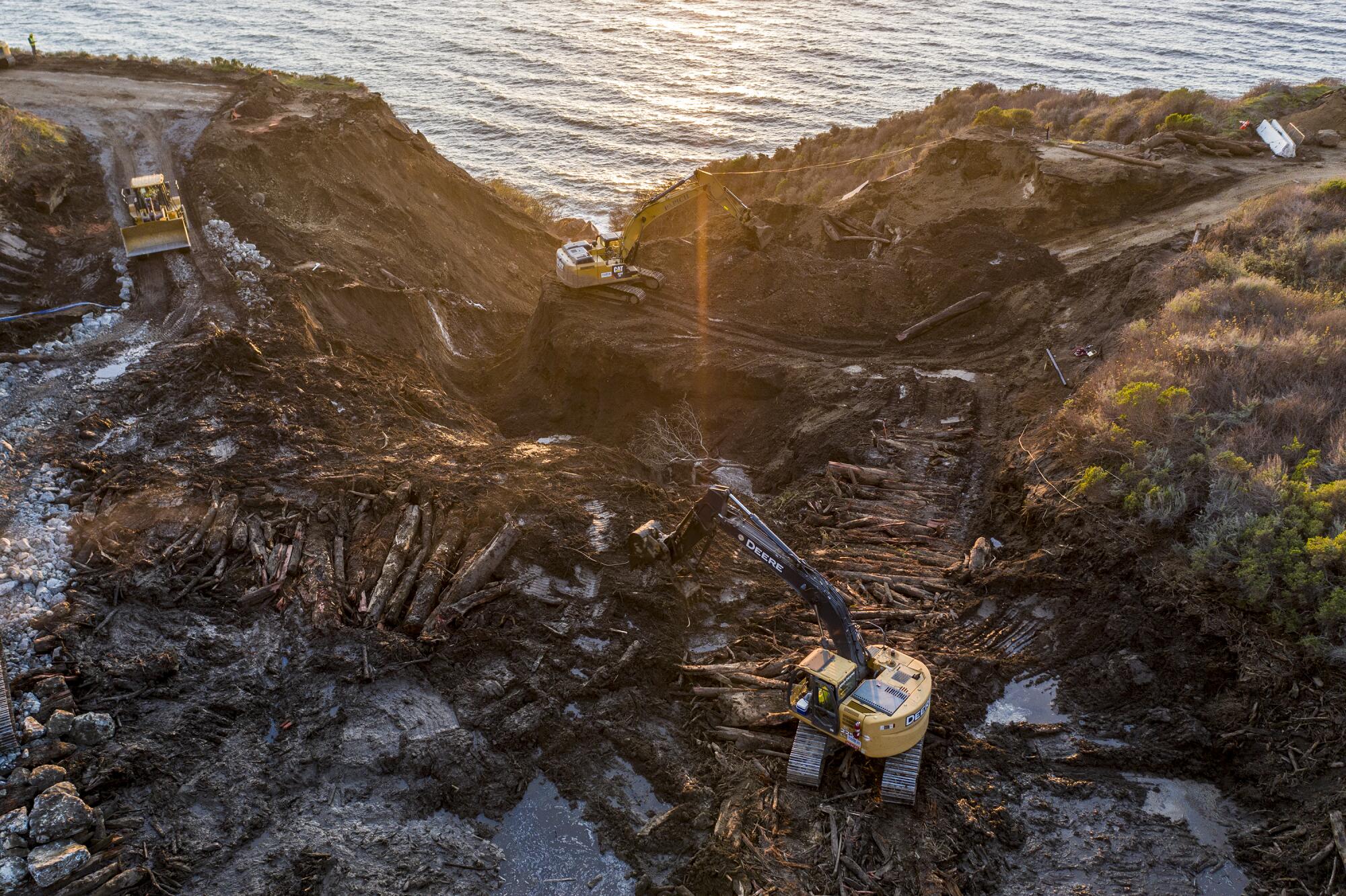
The highway closed Jan. 28 after a 150-foot section at Rat Creek was washed out by heavy rains that caused debris flow at the creek in Monterey County.
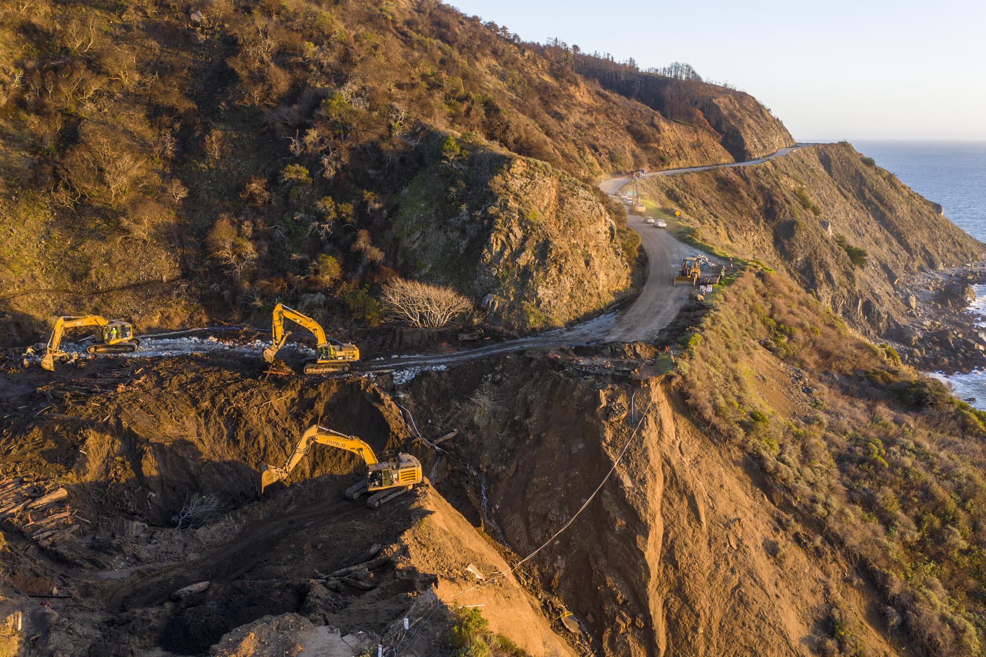
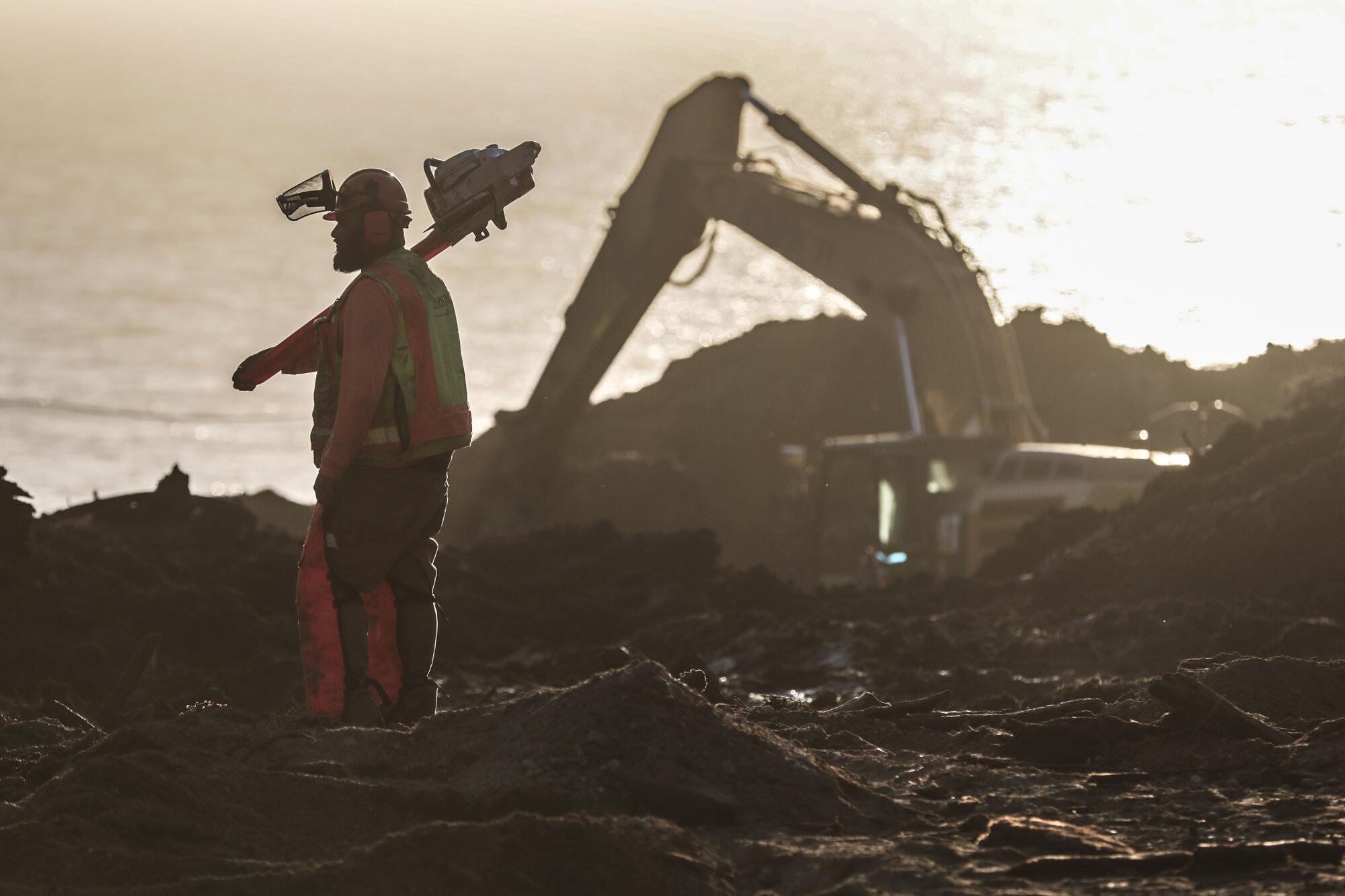
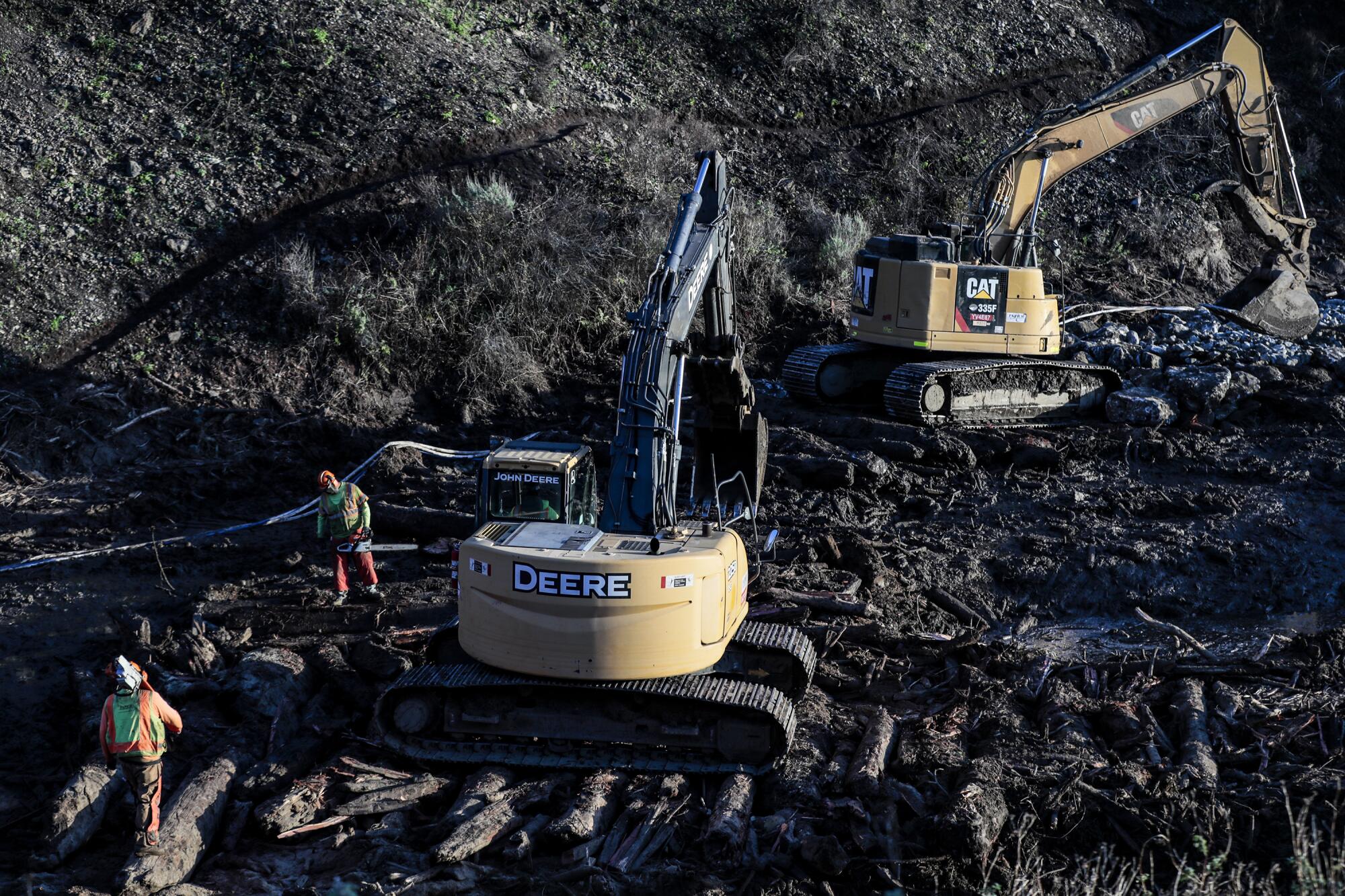
In a news release Thursday, Caltrans Director Toks Omishakin said, “We’re focused on restoring travel on this section by early summer.” The repair cost is estimated at $11.5 million, involving “the manipulation of tens of thousands of cubic yards of material.”
However, officials also warned that more wet weather could slow the work.
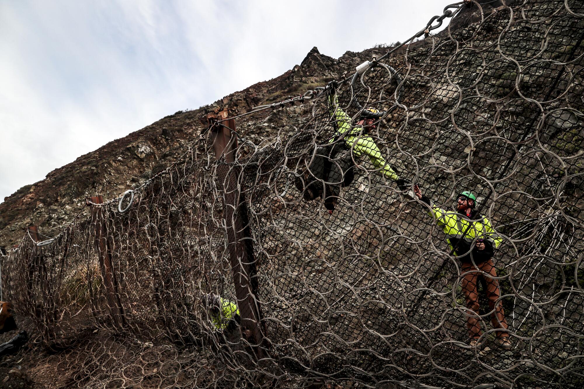
“We know that seasonally, March is a heavy-rain month, and we’re moving a lot of dirt around,” Caltrans spokesman Kevin Drabinski said. Still, he added, “We estimate that by the middle of summer it will be open.”
The highway has been closed since the washout, beginning with a 23-mile shutdown. But workers have gradually reduced the number of closed miles.
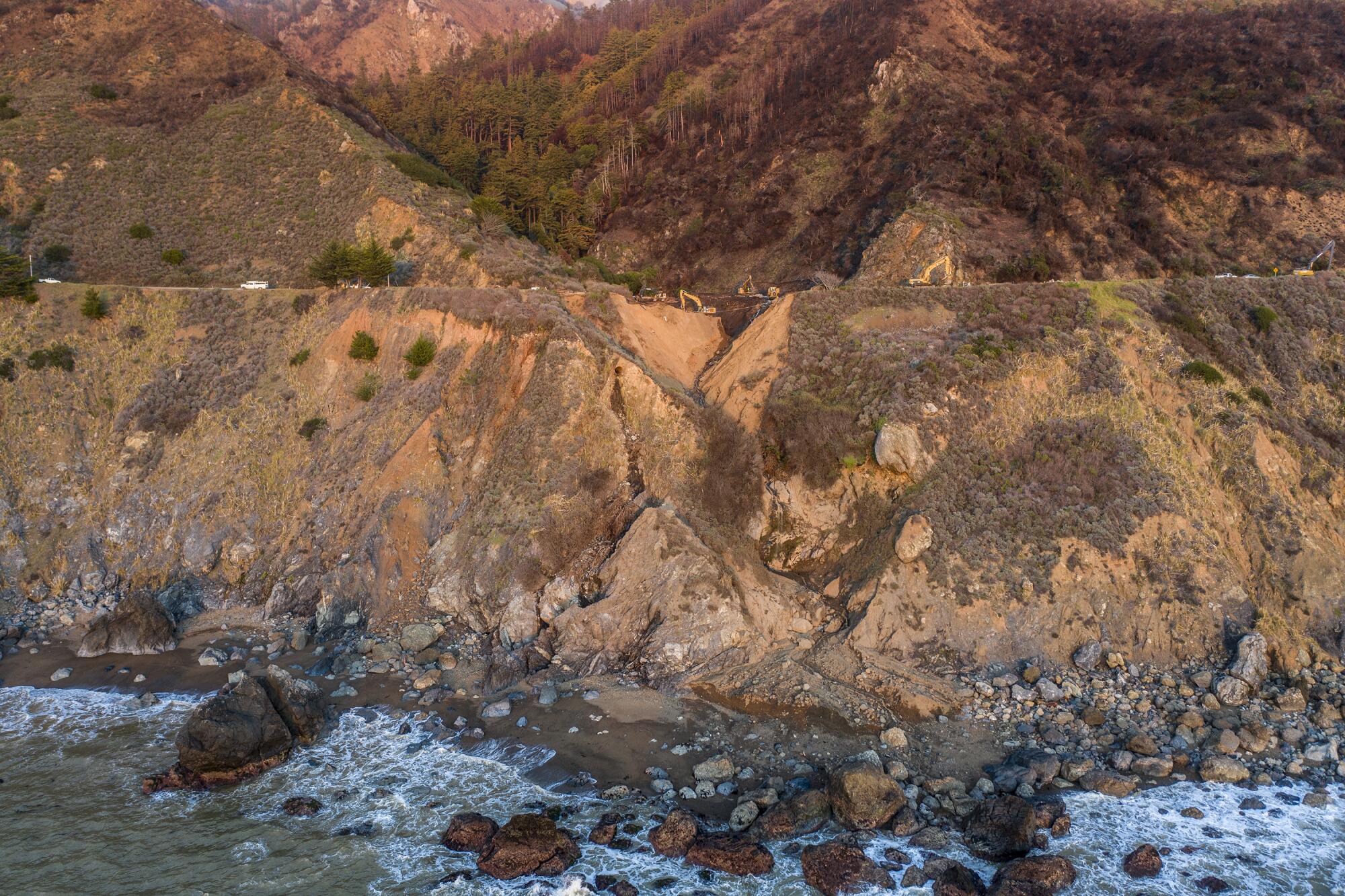
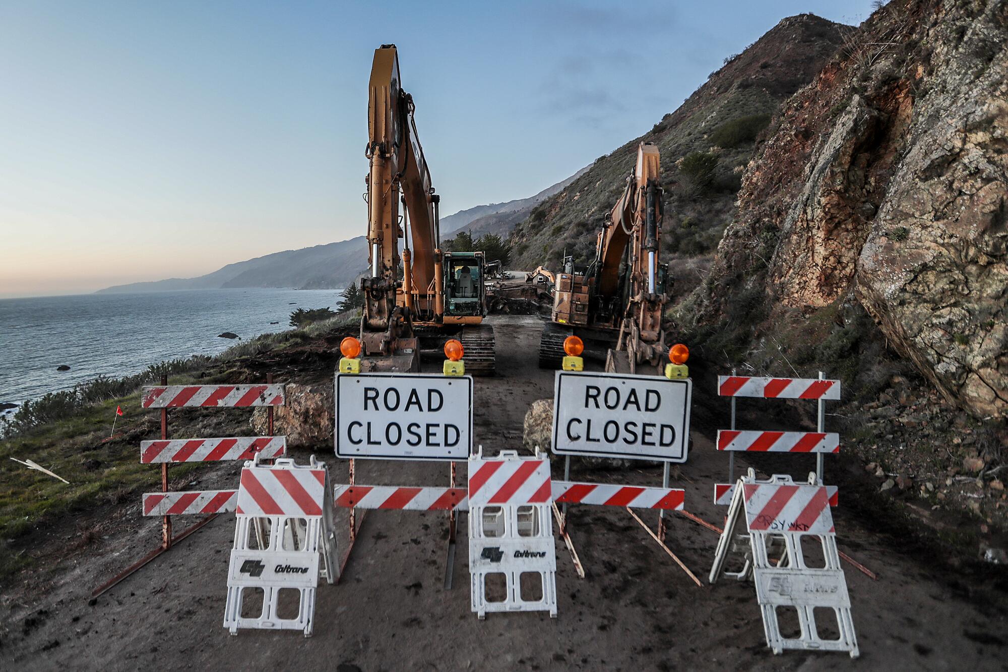
Caltrans said about five miles of the highway will be closed to all traffic, including pedestrians and bicycles, with northbound traffic blocked at Big Creek Vista Point (Monterey County milepost 27.3). Southbound traffic is blocked at the Lime Creek Bridge (milepost 32.1).
“That’s firm for the duration of the repairs,” Drabinski said. “There are no businesses within the closure.”
The slide occurred about two miles south of Big Sur’s Esalen Institute, blocking northbound coastal travelers from such Central Coast sites as Julia Pfeiffer Burns State Park, Nepenthe restaurant and Big Sur Campground & Cabins.

More visual journalism from the photography staff of the Los Angeles Times
More to Read
Sign up for Essential California
The most important California stories and recommendations in your inbox every morning.
You may occasionally receive promotional content from the Los Angeles Times.
