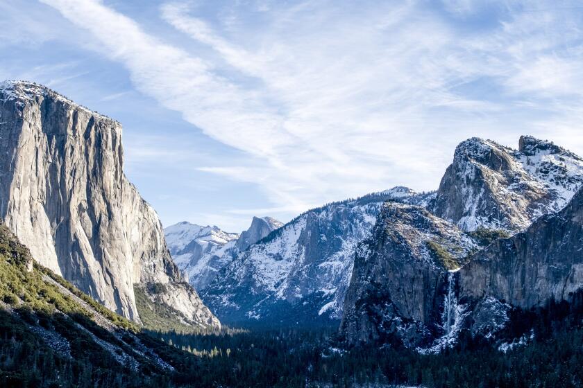
Strong storms boost California snowpack to highest December level since 2015
- Share via
In a boost for California’s water supply, a series of recent storms that blanketed the Sierra Nevada in snow has built the state’s snowpack to its highest December level since 2015.
The snowpack — a key source of the state’s water supply — measured 113% of average this week, roughly 40% higher than the snowpack during the same time in 2018, according to the Department of Water Resources.
Data show the snowpack on Monday — the most recent date statistics were compiled — was also 182% higher than the same day in 2017, which was a banner year for precipitation that pulled large swaths of Northern California out of persistent drought conditions.
The southern and central sections of the Sierra snowpack were higher than average, at 131% and 116% of normal for the regions, respectively. The northern portion was 99% of normal for the day. If the snowpack melted at once, it would amount to roughly 8 inches of water for the state.
Officials say the early build-up is the result of a series of late autumn storms that dropped significant precipitation across the state and dusted mountain ranges with powder. Downtown Los Angeles got 2.12 inches of precipitation last month, its wettest November since 2011, according to the National Weather Service.
Still, experts say it’s too early to predict whether it’ll be a good snow year. The snowpack still has a long way to go to reach the levels needed to help sustain the water supply through the dry summer months, said Lauren Bisnett, a spokeswoman for the California Department of Water Resources.
“It’s a good sort of trend that we’re on and we certainly hope it continues, but we have to consider the high variability of the California climate and plan for that,” Bisnett said. “A couple of storms can really change the balance between a wet year and a dry year.”
The snow season normally begins in December and ends on the first day of April, when the snowpack is typically at its highest. The snowpack provides about 30% of the annual fresh water supply for the state. Its spring and summer runoff feeds rivers and reservoirs and eventually is distributed to various water agencies for urban and agricultural use.
Last winter, a series of atmospheric river storms paired with cold fronts helped bolster the state’s snowpack and maintain it longer than usual. In early June, the snow blanketing the vast mountain range was 201% of average, making it the largest June snowpack in nearly a decade thanks to a wave of late spring rainstorms.
While forecasters say more rain and snow are on the way for California in the coming days, Bisnett warns that long-term forecasts suggest a period of dry weather may be on the horizon.
“Climate change models predict extreme variability in our precipitation to be the new norm, which is a signal to Californians that we should be ever vigilant, and always prepared for the possibility of wet or dry years,” she said.
A storm moving across Northern California on Thursday and Friday is expected to bring light snow to the 4,500-foot elevations in the Sierra Nevada. Another slightly stronger storm will likely dump 6 inches to a foot of snow between Sunday and Monday. Higher terrains could see more than a foot of fresh powder, said Chris Johnston, a meteorologist with the National Weather Service in Reno.
“We’re definitely going to see travel impacts, given it’s the weekend before the holiday,” Johnston said.
More to Read
Sign up for Essential California
The most important California stories and recommendations in your inbox every morning.
You may occasionally receive promotional content from the Los Angeles Times.


