Extreme fire weather could be the worst ‘in recent memory’

- Share via
Because of Santa Ana winds expected to continue late Tuesday evening through Thursday, Southern California could experience “an extreme fire weather threat, with conditions as dangerous for fire growth and behavior as we have seen in recent memory,” according to the National Weather Service.
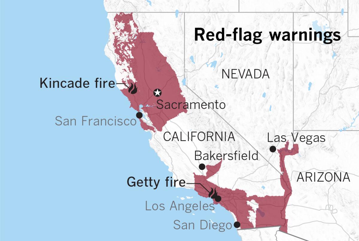
Red-flag warnings are posted for large portions of California in anticipation of dry, gusty northeast winds as a weather system drops into the Great Basin region. Red-flag warnings in Northern California generally are set to expire late Wednesday afternoon, but warnings in Southern California will remain in effect until 6 p.m. Thursday.
A red-flag warning means critical fire weather conditions exist or will commence shortly, and herald a combination of strong winds and low relative humidity that contribute to extreme and erratic fire behavior.
Such warnings often accompany Diablo winds in Northern California and Santa Ana winds in Southern California. Both are dry north to northeasterly winds that blow from high pressure, usually hundreds of miles inland, over mountains or through passes and canyons toward lower pressure at sea level.
The stronger the pressure gradient, the stronger the winds. The gradient is the difference between the high pressure inland and the lower pressure at the coast. Models show that the pressure gradient could break the record for late October and early November.
The winds that will arrive in Southern California this week will be cold Santa Anas. Usually, the winds warm up through compression heating as they blow downslope, but these winds are starting from an extremely cold air mass fed by cold-air advection from the Arctic Circle.
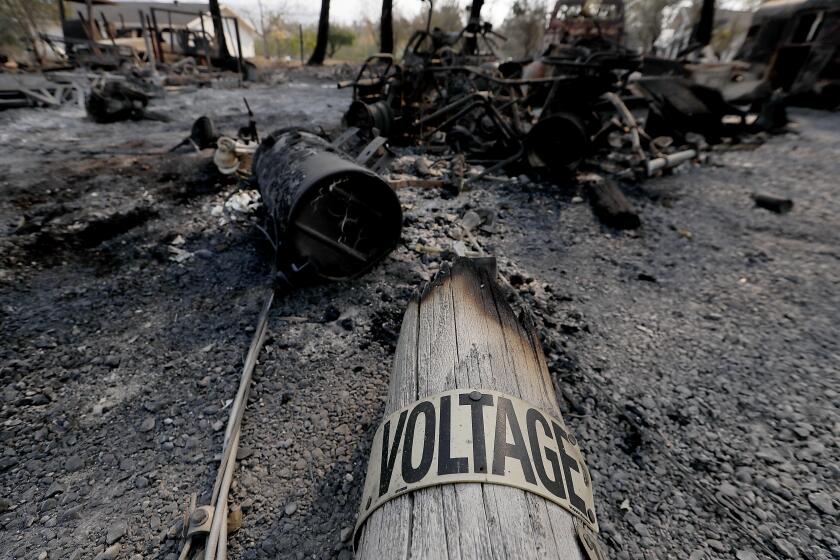
Wildfires can start in a variety of ways.
Gale-force gusts are expected off the immediate coast south of Point Conception, with choppy seas affecting Avalon Harbor and Two Harbors on Santa Catalina Island.
Winds are expected to weaken by Thursday, and are expected to be much lighter for Halloween on Thursday evening. Temperatures Thursday night and early Friday morning are expected to be the coldest of the next seven days. The Santa Anas are forecast to be over on Friday, but the air will remain bone dry and temperatures will begin their gradual climb back to normal. Offshore flow will keep the marine layer out of the picture until Sunday.
More to Read
Sign up for Essential California
The most important California stories and recommendations in your inbox every morning.
You may occasionally receive promotional content from the Los Angeles Times.


