Cooling Trend, ‘June Gloom,’ to Continue
- Share via
The San Fernando Valley will continue to cool off this week as a high-pressure system that baked the area has moved off. Breeziness will return late in the week, weather forecasters said.
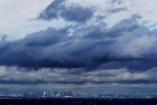
Valley residents will also experience “June gloom”--the late-night, early-morning low clouds and fog typical for this time of year--during the cooling trend.
“Instead of highs in the low 90s, you’re going to see highs in the upper 80s,” said John Sherwin, a meteorologist with WeatherData, which provides weather information to The Times.
A large low-pressure trough moving into the Pacific Northwest will bring cloudiness into Southern California by Wednesday. The system is expected to dip south, sending rain into Northern California and bringing windy conditions to the San Fernando Valley.
Low temperatures will be in the upper 50s to low 60s this week, said Dedric Walker, a meteorologist with the National Weather Service in Oxnard.
Highs today are expected to be 91 in Woodland Hills and 87 in Burbank.
More to Read
Sign up for Essential California
The most important California stories and recommendations in your inbox every morning.
You may occasionally receive promotional content from the Los Angeles Times.


